Grove
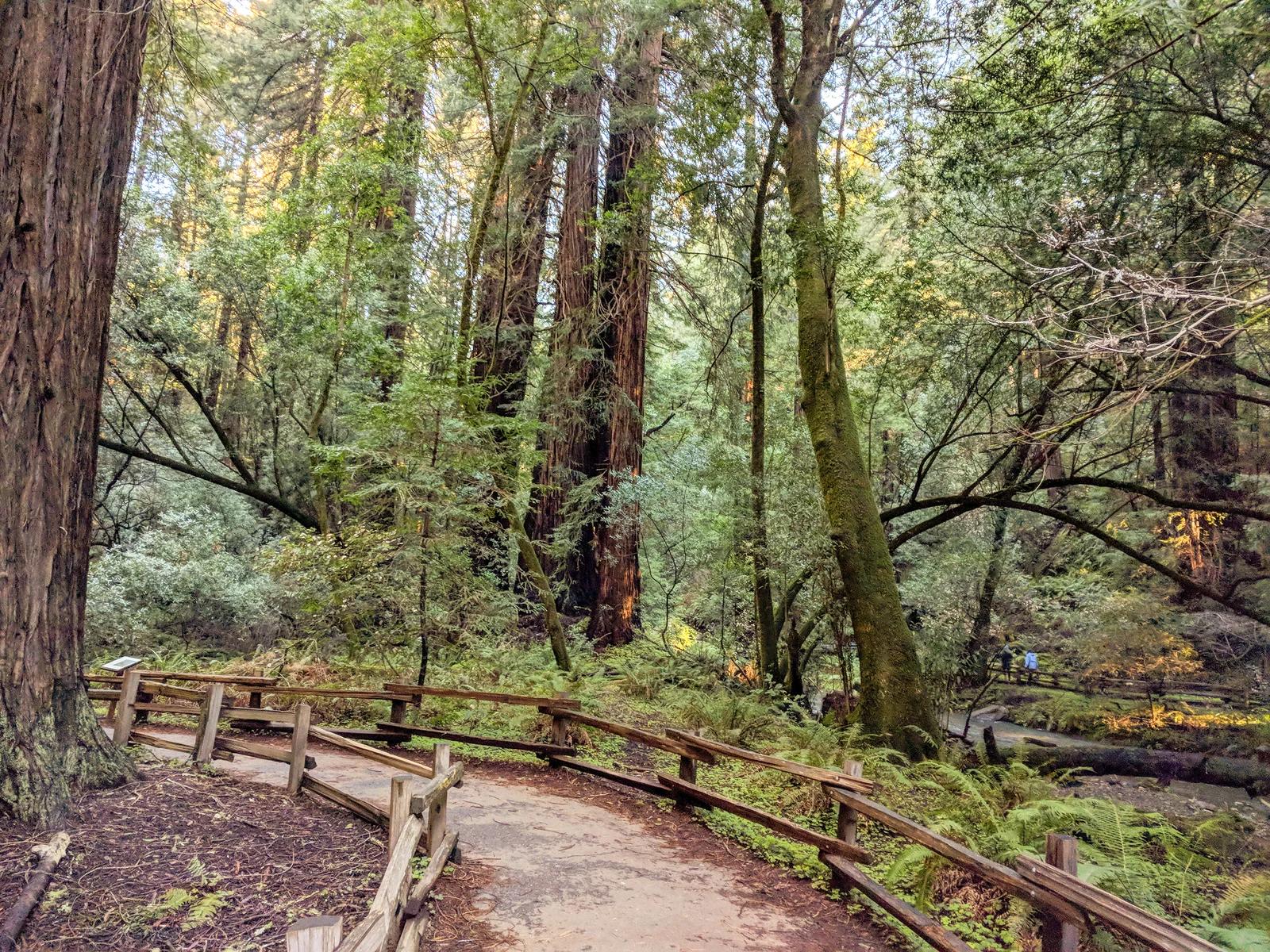
Muir Woods National Monument · San Francisco Bay Area
Muir Woods Redwood Creek
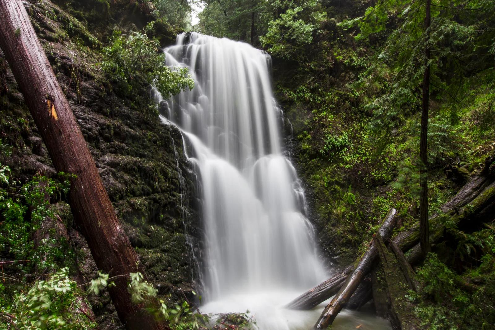
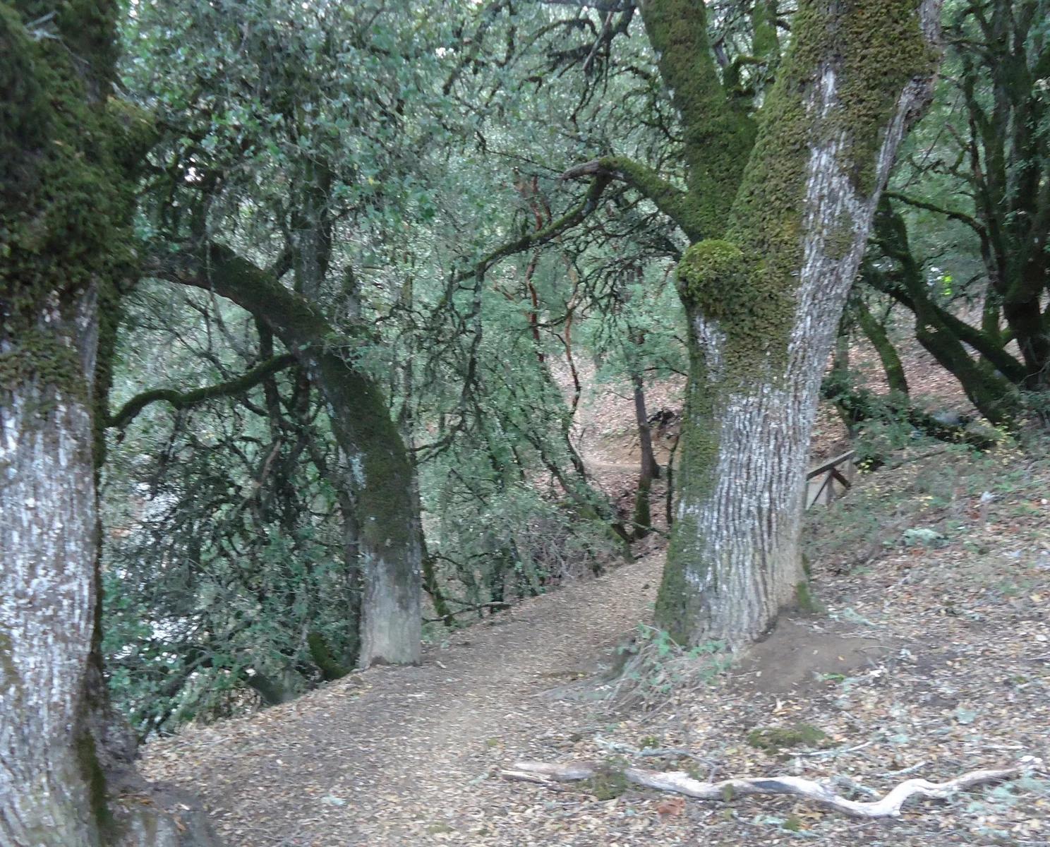
A celebrated cathedral of old-growth coastal redwoods nestled in a quiet valley beneath Mount Tamalpais just north of San Francisco.
- Route
- 2 mi
- Climb
- 49 ft
Browse & Discover
Filter by activity, state, region, dog policy, or route effort — or use the interactive map below to find waterfalls, trails, beaches, bikeways, skateparks, and campgrounds near any location.
1,365 of 2,051 places
Drag to pan. Double-click, pinch or scroll to zoom. Keyboard: arrow keys and +/−. Cards below remain available.
Loading map… Browse the spot cards below at any time.

Joshua Tree National Park
A short desert trail to the historic Barker Dam water-storage structure in Joshua Tree National Park.
Hannah Schwalbe / NPS · Public domain. Source & image licence

Eaton Canyon Natural Area
The waterfall at the head of lower Eaton Canyon, reached by a wide wash walk from the Eaton Canyon Nature Center and a final creekside scramble.
[scott.medling or en:user:scott.medling user:scott.medling from California, United States] · CC BY-SA 2.0. Source & image licence

Angeles National Forest
The ruined mountain resort of the Mount Lowe Railway, on a front-range promontory above Altadena at the top of the Lower Sam Merrill Trail.
Lennonrodgers at en.wikipedia · Public domain. Source & image licence

Escondido Canyon Park
A multi-tiered waterfall in Escondido Canyon above Malibu. The maintained trail ends at the base of the mossy lower tier.
Santa Monica Mountains National Recreation Area · Public domain. Source & image licence

Inyo National Forest
A chain of small alpine lakes at the head of Little Lakes Valley in the John Muir Wilderness, below the 13,000-foot peaks of the Bear Creek Spire cirque.
Jane S. Richardson (talk · contribs) · CC BY-SA 3.0. Source & image licence

Mount Tamalpais Watershed
A winter-and-spring cascade on Cataract Creek just below the Laurel Dell picnic area, reached downhill along the Cataract Trail from Rock Spring.
Richard Wood · CC BY-SA 3.0. Source & image licence

Joshua Tree National Park
One of the best-preserved stamp mills in Joshua Tree National Park, at the site of the Lost Horse gold mine.
Joseph from Cabin On The Road, USA · CC BY-SA 2.0. Source & image licence

Angeles National Forest
A waterfall of about fifty feet filling the head of a narrow, shaded canyon, a short walk upstream from Millard Campground.
Region 5 Photography · Public domain. Source & image licence

Inyo National Forest
A quiet lake in the Ansel Adams Wilderness beneath Parker Peak, reached through sage and an aspen-lined creek canyon off the June Lake Loop.
Mark Gunn from Novato, California, USA · CC BY 2.0. Source & image licence

Pfeiffer Big Sur State Park
A 60-foot waterfall on Pfeiffer-Redwood Creek, reached through the redwoods of Pfeiffer Big Sur State Park on a trail twice rebuilt — after the 2008 Basin Complex Fire and again after 2023 storm damage.
Joe Mabel · CC BY-SA 4.0. Source & image licence

Angeles National Forest
A 50-foot single drop into a shallow plunge pool, 1.7 mi up Big Santa Anita Canyon. Shaded the entire way in. The work is all on the walk out.
U.S. Department of Agriculture / USDA USFS · CC BY 2.0. Source & image licence

Santa Monica Mountains National Recreation Area
The ruins of the Roberts family ranch house at the end of the canyon-floor trail in Solstice Canyon, beside a small seasonal waterfall.
George Heras / Santa Monica Mountains National Recreation Area · Public domain. Source & image licence

Pfeiffer Big Sur State Park
An overlook above the Big Sur River valley, looking north over the redwoods toward Point Sur and the Pacific.
King of Hearts · CC BY-SA 3.0. Source & image licence
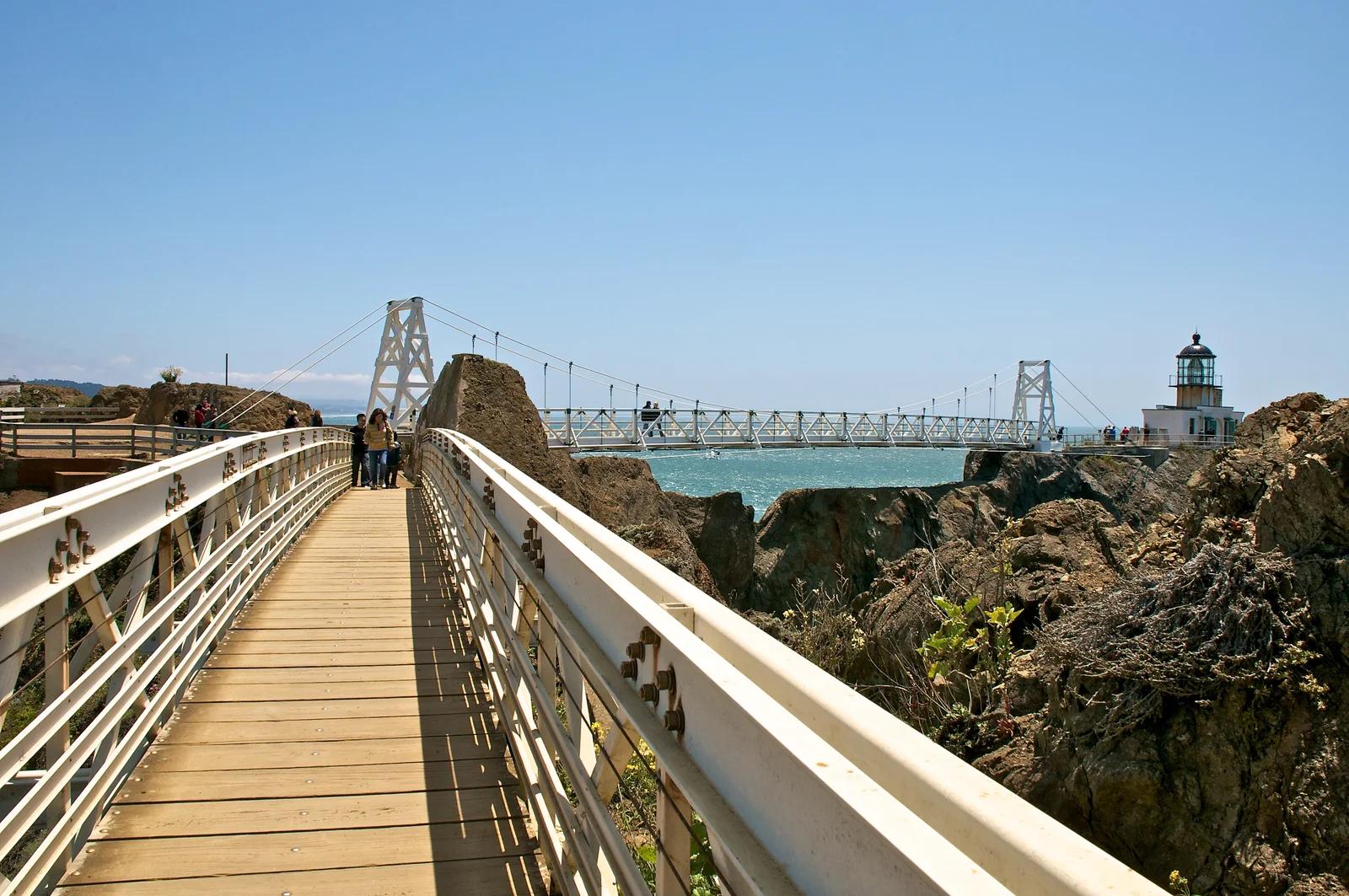
Golden Gate National Recreation Area · San Francisco Bay Area
A dramatic cliffside trail crossing a hand-carved rock tunnel and suspension bridge to the last manned lighthouse on the California coast.
Photo: Don DeBold from San Jose, CA, USA · CC BY 2.0
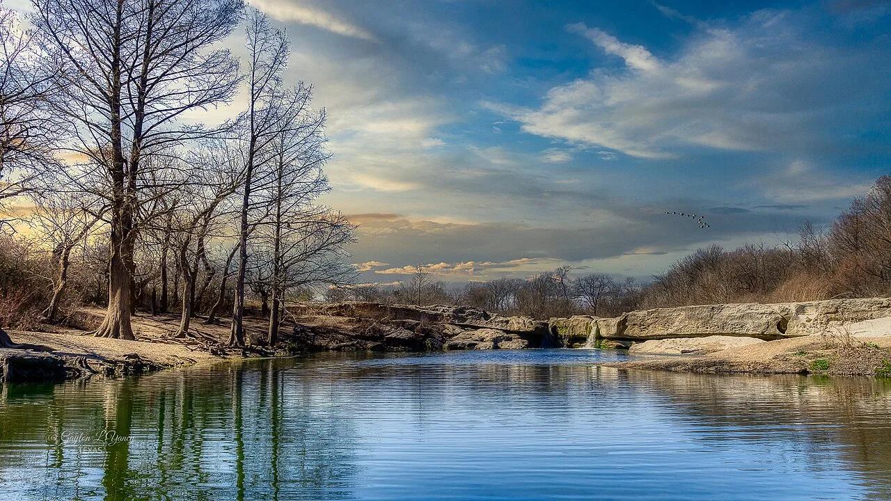
McKinney Falls State Park · Austin & Central Texas · Texas
Upper and Lower limestone shelf waterfalls cascading over ancient volcanic debris and Cretaceous limestone into wide swimming basins in Austin's backyard.
Photo: G. Lamar · CC BY 2.0
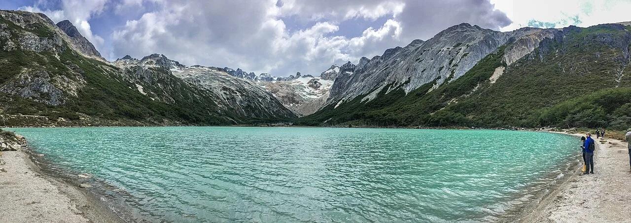
Valle de Tierra Mayor (Ushuaia) · Andes & Patagonia · Argentina
Peat-bog and lenga beech forest trek at the southern tip of South America to an emerald glacial lagoon beneath the Cordón Toribio.
Photo: Márcio Motta · CC BY 2.0
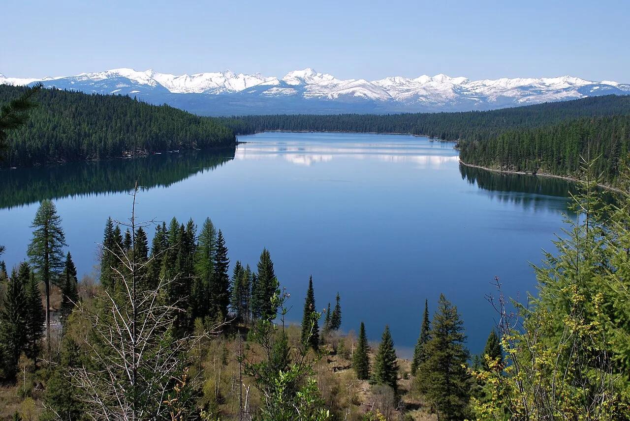
Flathead National Forest · Glacier Country · Montana
Lakeside forested path climbing to a roaring cascade tumbling down limestone crags of the Swan Range.
Photo: Forest Service Northern Region from Missoula, MT, USA · Public domain
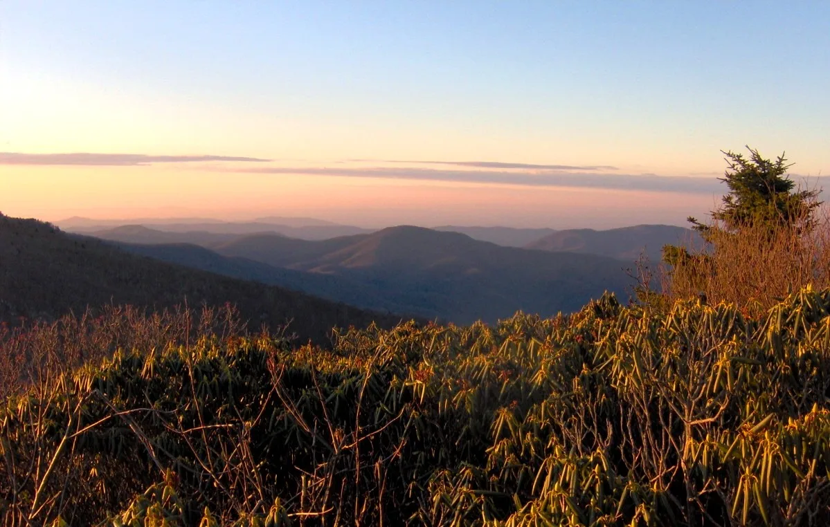
Pisgah & Cherokee National Forests (Carvers Gap) · Appalachian & Blue Ridge · North Carolina
Grassy 5,800-foot southern Appalachian grassy balds ablaze with Catawba rhododendron blooms and 360-degree views of the Black Mountains.
Photo: Brian Stansberry · CC BY 2.5
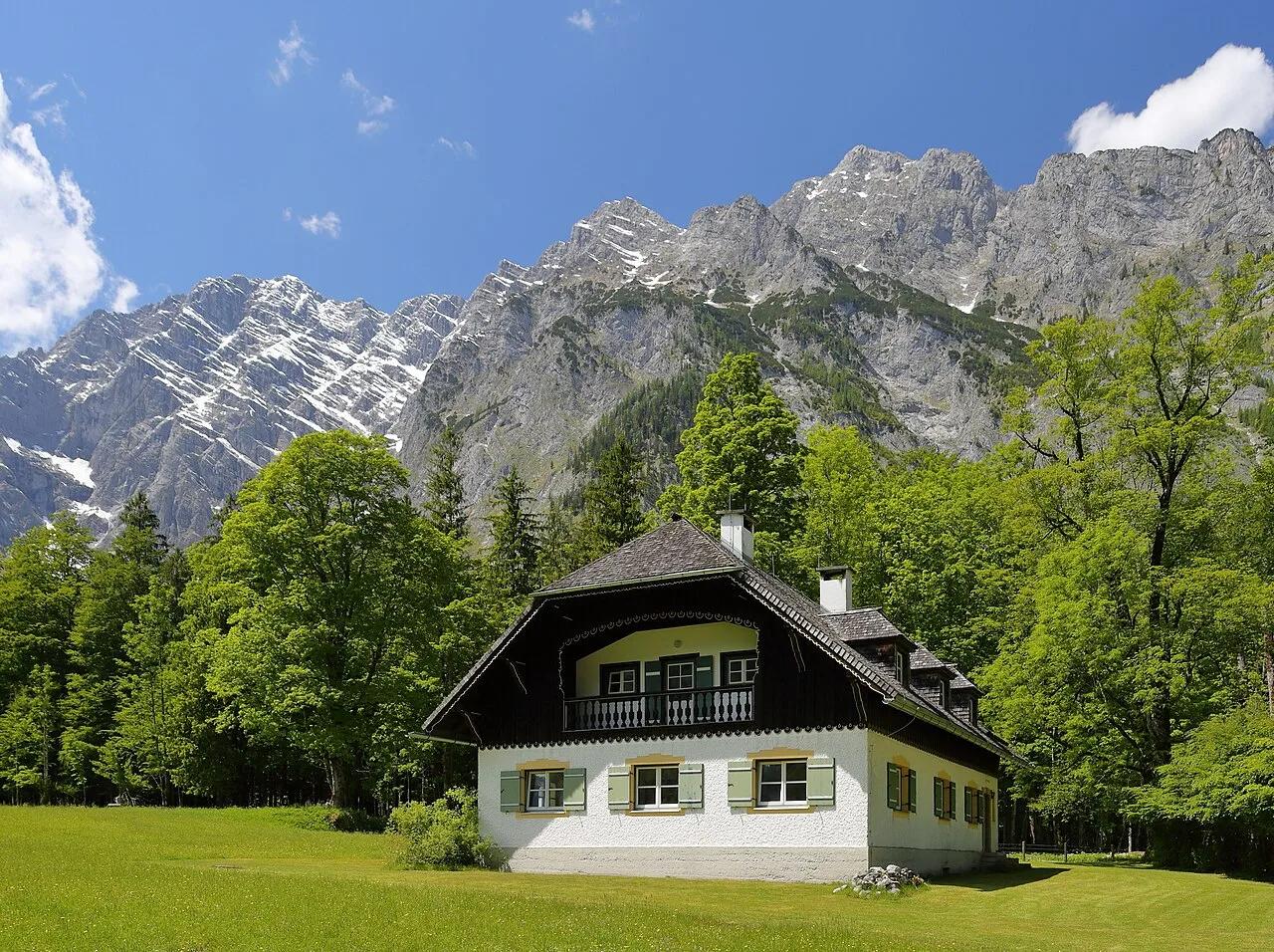
Berchtesgaden National Park · European Alps · Germany
Fjord-like emerald alpine lake beneath the 1,800-meter vertical limestone Watzmann Ostwand and Germany's highest waterfall, Röthbachfall.
Photo: Martin Falbisoner · CC BY-SA 4.0
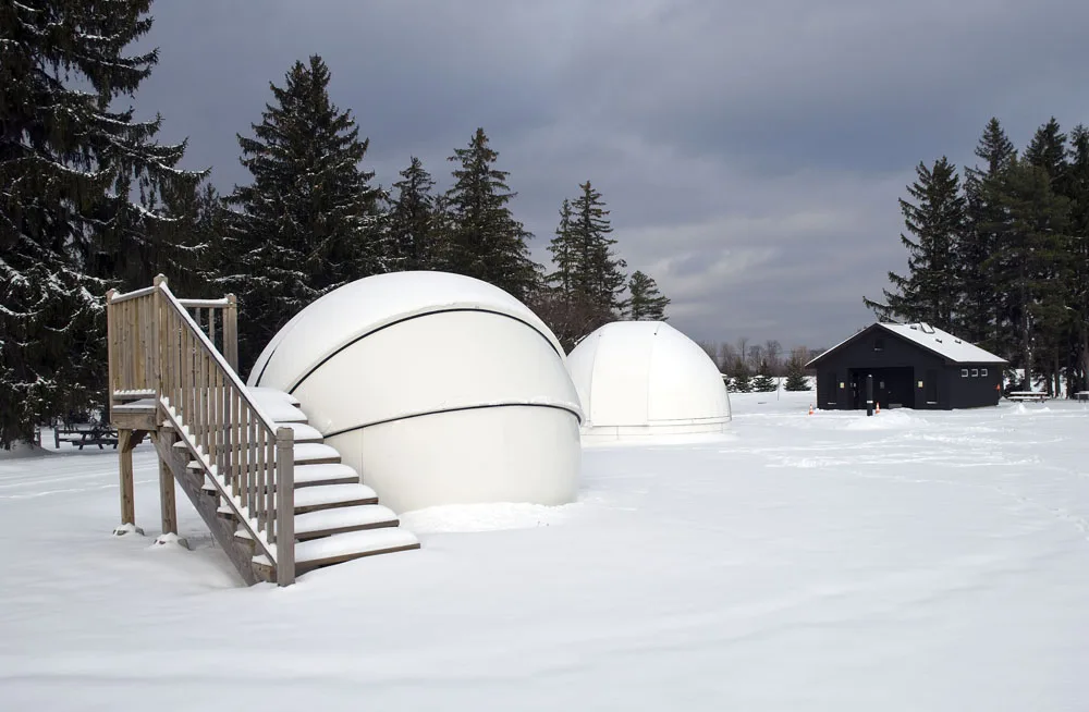
Cherry Springs State Park · PA Wilds / Potter County · Pennsylvania
A Gold-Tier International Dark Sky Park perched atop an isolated 2,300-foot Allegheny plateau where the Milky Way casts shadows.
Photo: Curt Weinhold · CC BY-SA 3.0
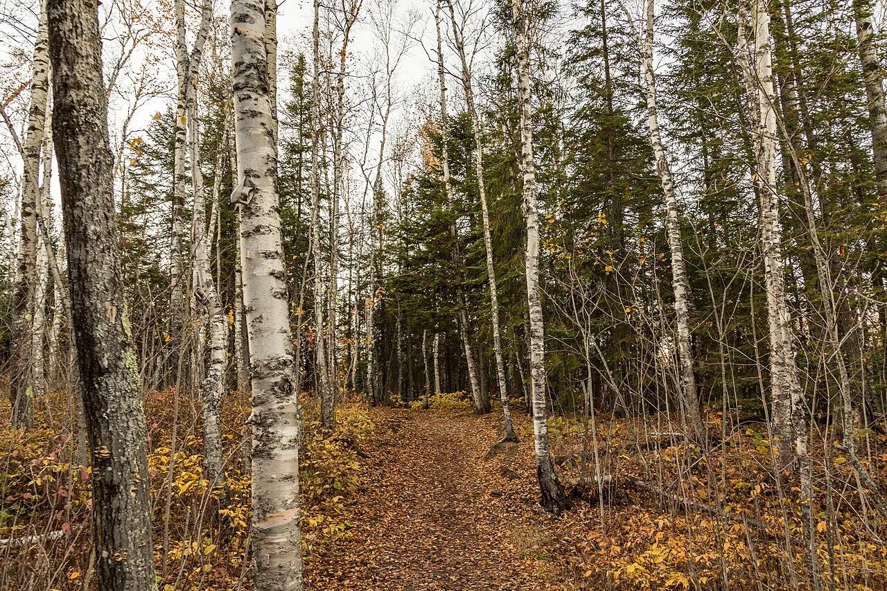
East Bethel Pine Barrens · Midwest & Great Lakes · Minnesota
27 manicured holes carved through towering red pine corridors, water hazards, and island greens north of Minneapolis.
Photo: Tony Webster from San Francisco, California · CC BY-SA 2.0
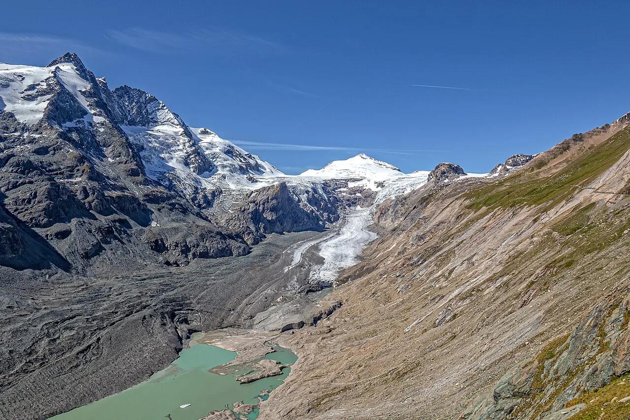
Hohe Tauern National Park (Grossglockner High Alpine Road) · European Alps · Austria
Panoramic rock-tunnel promenade facing Austria's highest peak, 3,798-meter Grossglockner, and the 8-kilometer Pasterze Glacier.
Photo: Frans Berkelaar · CC BY 2.0
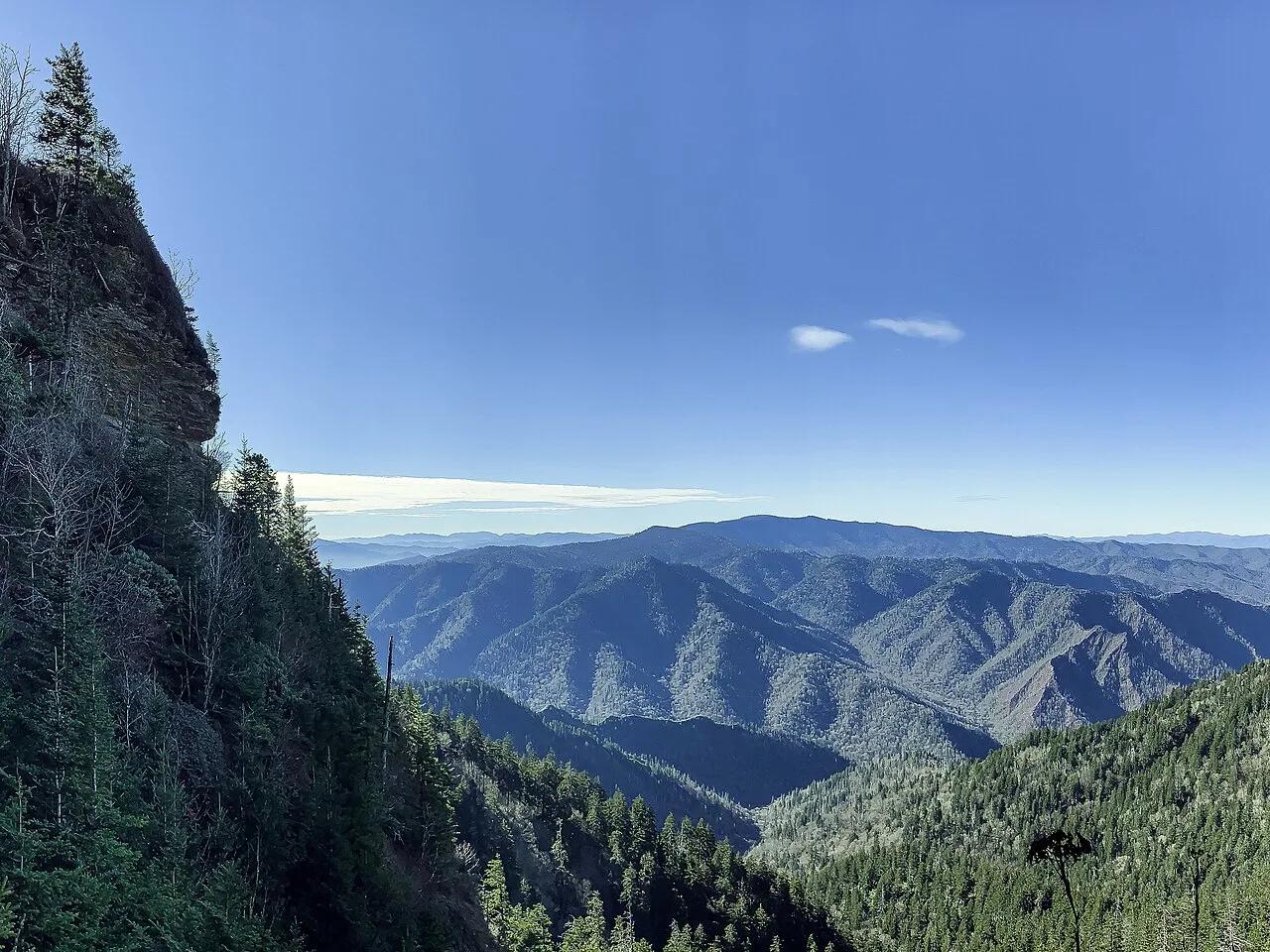
Great Smoky Mountains National Park · Appalachian & Blue Ridge · Tennessee
Walk through Arch Rock tunnel and beneath 80-foot overhanging Alum Cave Bluffs to the 6,593-foot spruce-fir summit of Mount LeConte.
Photo: AppalachianCentrist · CC BY-SA 4.0