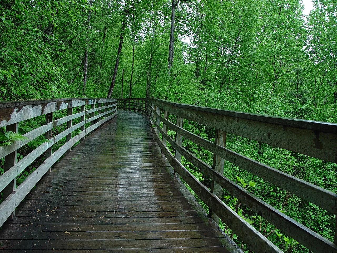
Waterfall
Chugach State Park · Southcentral Alaska · Alaska
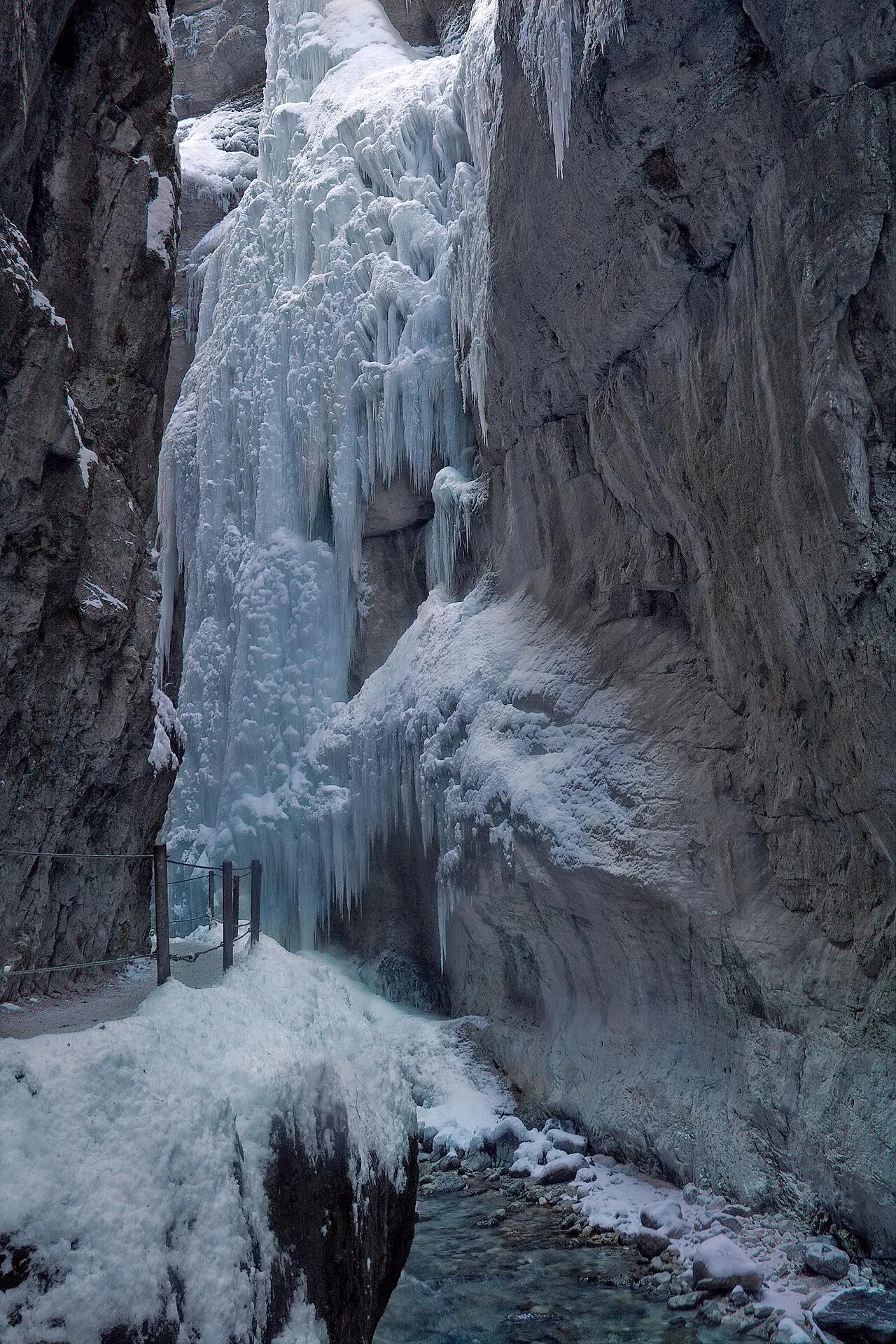
Thunderbird Falls (Chugach State Park)
Picturesque 200-foot waterfall cascading down birch-forested canyon walls to a misty boardwalk along Eklutna River canyon.
- Route
- 1.8 mi
- Climb
- 180 ft
Browse & Discover
Overlooks, natural arches, sea caves, groves and wildlife reserves.
820 of 2,051 places
Drag to pan. Double-click, pinch or scroll to zoom. Keyboard: arrow keys and +/−. Cards below remain available.
Loading map… Browse the spot cards below at any time.

Eaton Canyon Natural Area
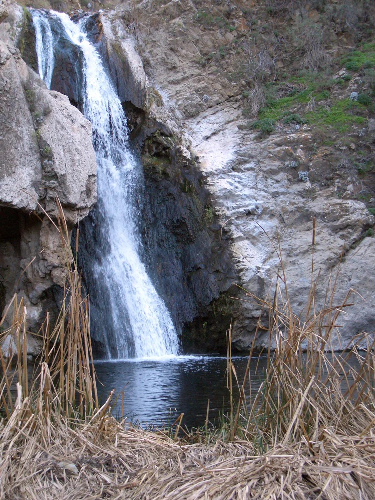
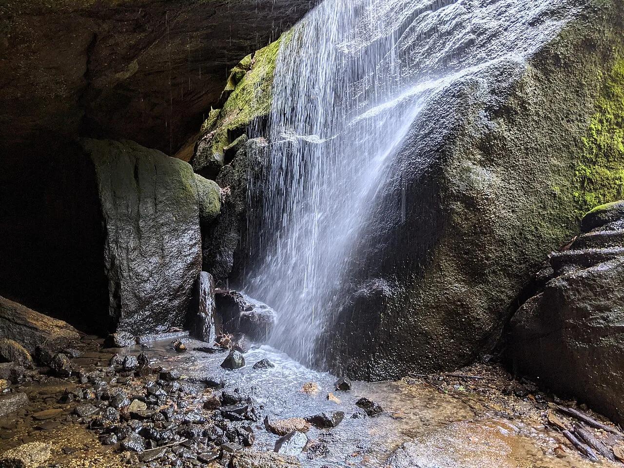
The waterfall at the head of lower Eaton Canyon, reached by a wide wash walk from the Eaton Canyon Nature Center and a final creekside scramble.
[scott.medling or en:user:scott.medling user:scott.medling from California, United States] · CC BY-SA 2.0. Source & image licence

Angeles National Forest
The ruined mountain resort of the Mount Lowe Railway, on a front-range promontory above Altadena at the top of the Lower Sam Merrill Trail.
Lennonrodgers at en.wikipedia · Public domain. Source & image licence

Escondido Canyon Park
A multi-tiered waterfall in Escondido Canyon above Malibu. The maintained trail ends at the base of the mossy lower tier.
Santa Monica Mountains National Recreation Area · Public domain. Source & image licence

Inyo National Forest
A chain of small alpine lakes at the head of Little Lakes Valley in the John Muir Wilderness, below the 13,000-foot peaks of the Bear Creek Spire cirque.
Jane S. Richardson (talk · contribs) · CC BY-SA 3.0. Source & image licence

Angeles National Forest
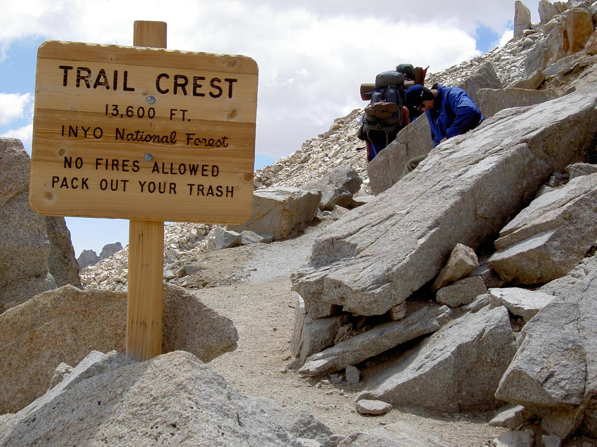
A high saddle and five-way trail junction on the Cucamonga Wilderness ridge, at the top of the steady climb up Icehouse Canyon.
Jason Hollinger · CC BY 2.0. Source & image licence

Mount Tamalpais Watershed
A winter-and-spring cascade on Cataract Creek just below the Laurel Dell picnic area, reached downhill along the Cataract Trail from Rock Spring.
Richard Wood · CC BY-SA 3.0. Source & image licence

Angeles National Forest
A waterfall of about fifty feet filling the head of a narrow, shaded canyon, a short walk upstream from Millard Campground.
Region 5 Photography · Public domain. Source & image licence

Mission Peak Regional Preserve
The bare grassland summit above Fremont, marked by the Mission Peeker sighting pole and climbed by the Hidden Valley Trail from Stanford Avenue.
Oleg Alexandrov · CC BY-SA 3.0. Source & image licence

Angeles National Forest
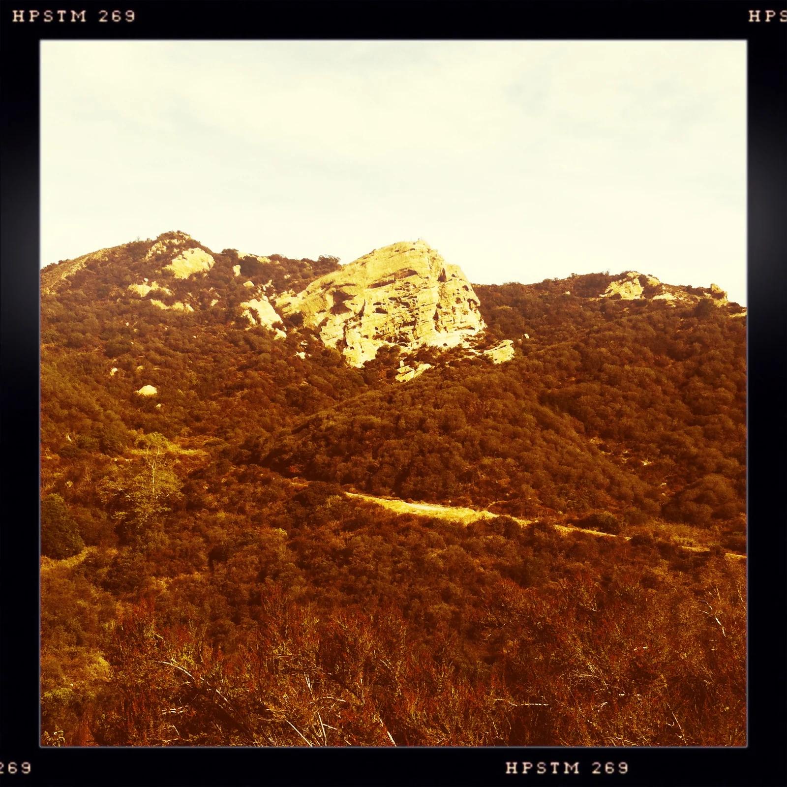
The highest summit of the San Gabriel Mountains, reached from Baldy Notch along the exposed Devils Backbone ridge.
Darkest tree · CC BY-SA 4.0. Source & image licence

Inyo National Forest
A quiet lake in the Ansel Adams Wilderness beneath Parker Peak, reached through sage and an aspen-lined creek canyon off the June Lake Loop.
Mark Gunn from Novato, California, USA · CC BY 2.0. Source & image licence

Santa Monica Mountains National Recreation Area
The highest point in the Santa Monica Mountains, climbed from the Mishe Mokwa trailhead along the Backbone Trail at Circle X Ranch.
Wasquewhat · CC BY-SA 4.0. Source & image licence

Angeles National Forest
A 50-foot single drop into a shallow plunge pool, 1.7 mi up Big Santa Anita Canyon. Shaded the entire way in. The work is all on the walk out.
U.S. Department of Agriculture / USDA USFS · CC BY 2.0. Source & image licence

Santa Monica Mountains National Recreation Area
The ruins of the Roberts family ranch house at the end of the canyon-floor trail in Solstice Canyon, beside a small seasonal waterfall.
George Heras / Santa Monica Mountains National Recreation Area · Public domain. Source & image licence
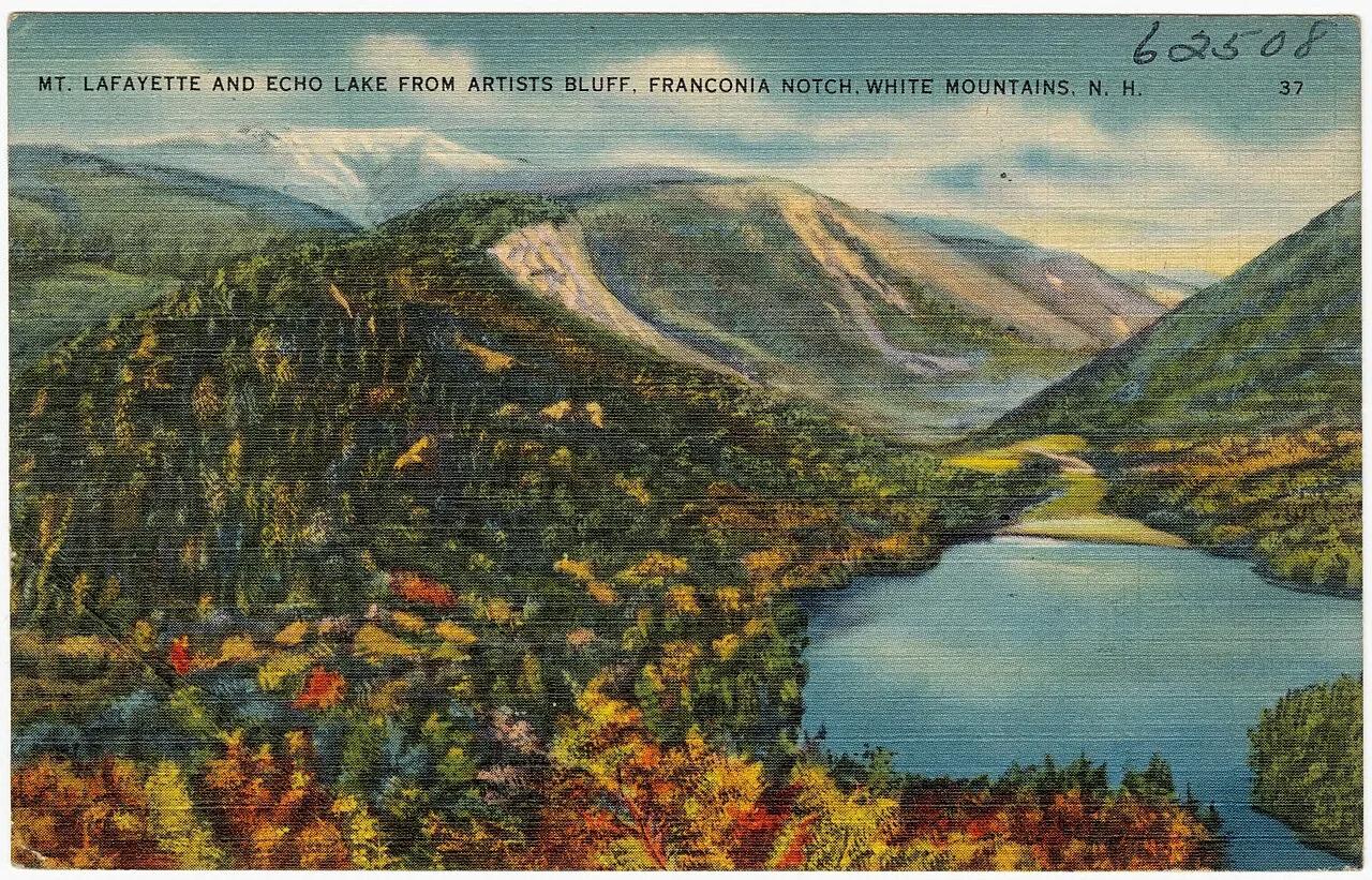
Franconia Notch State Park · White Mountains · New Hampshire
Perched granite cliffs frame a postcard-perfect view overlooking Echo Lake and the rugged vertical walls of Franconia Notch.
Photo: Tichnor Brothers, Publisher · Public domain
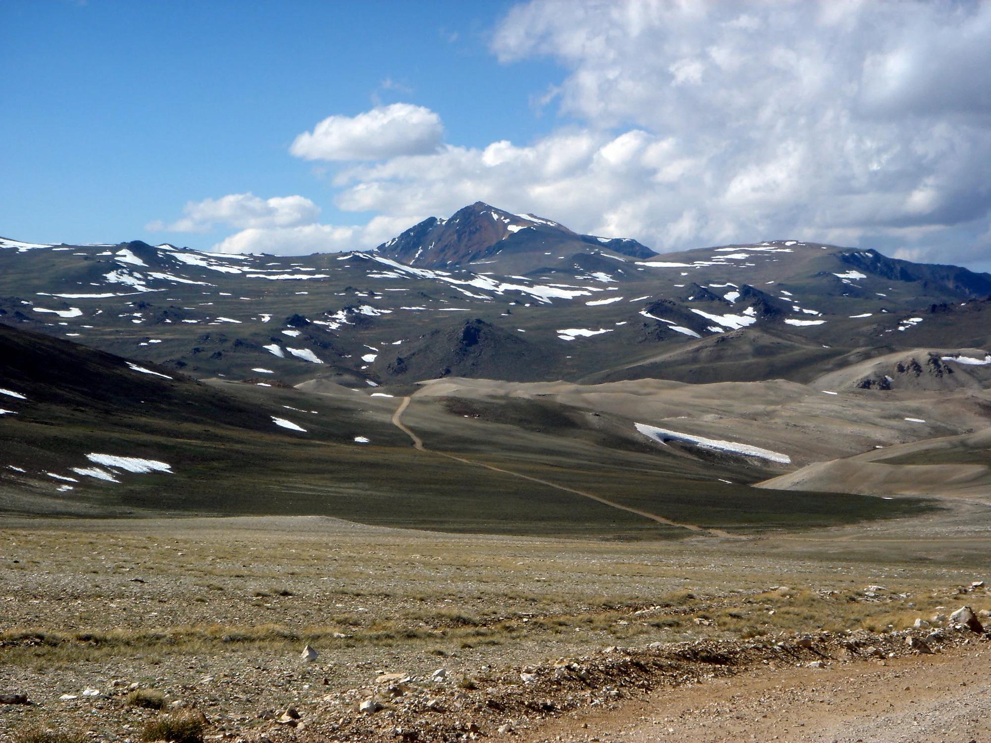
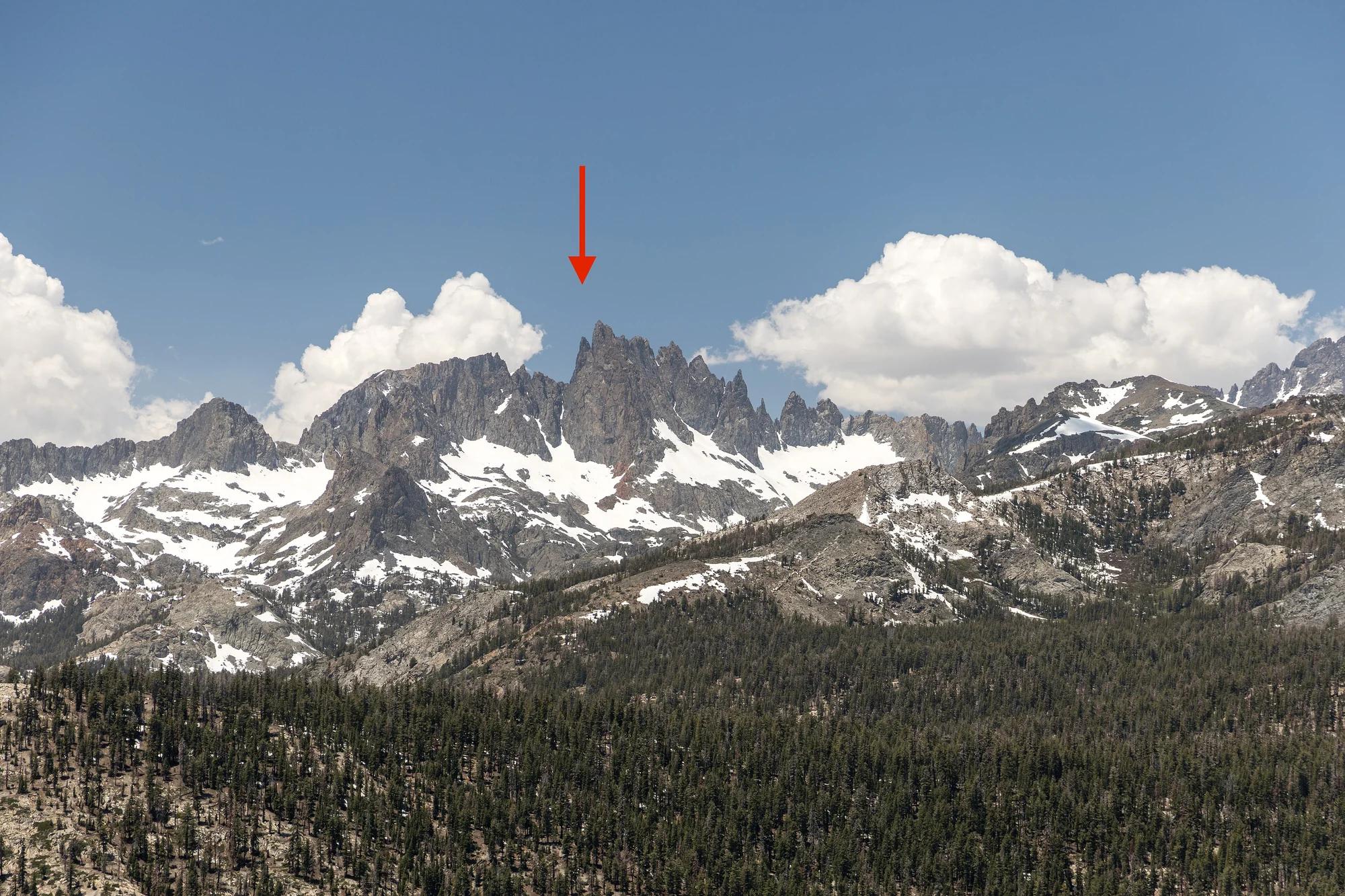
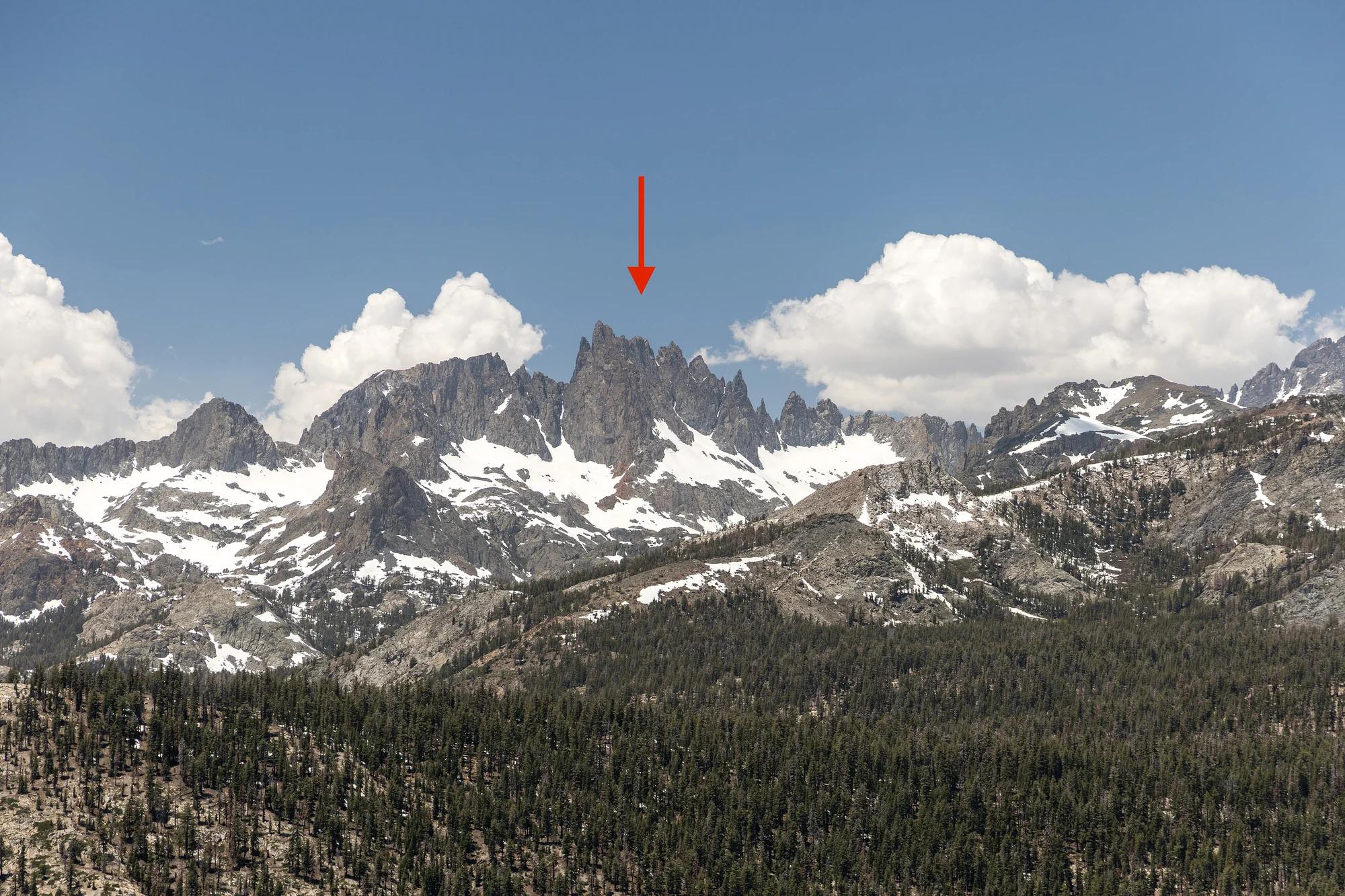
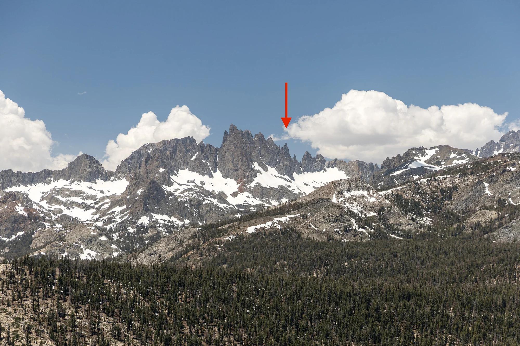
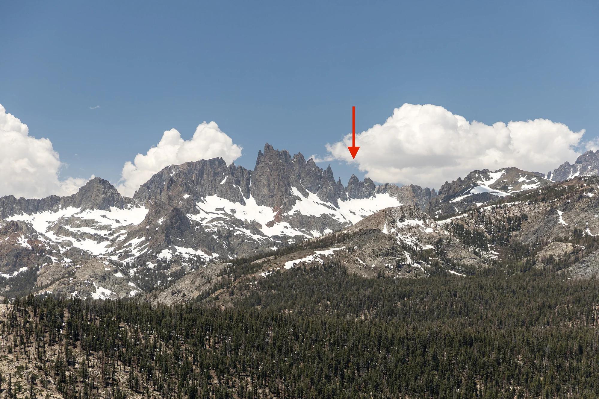
Eastern Sierra
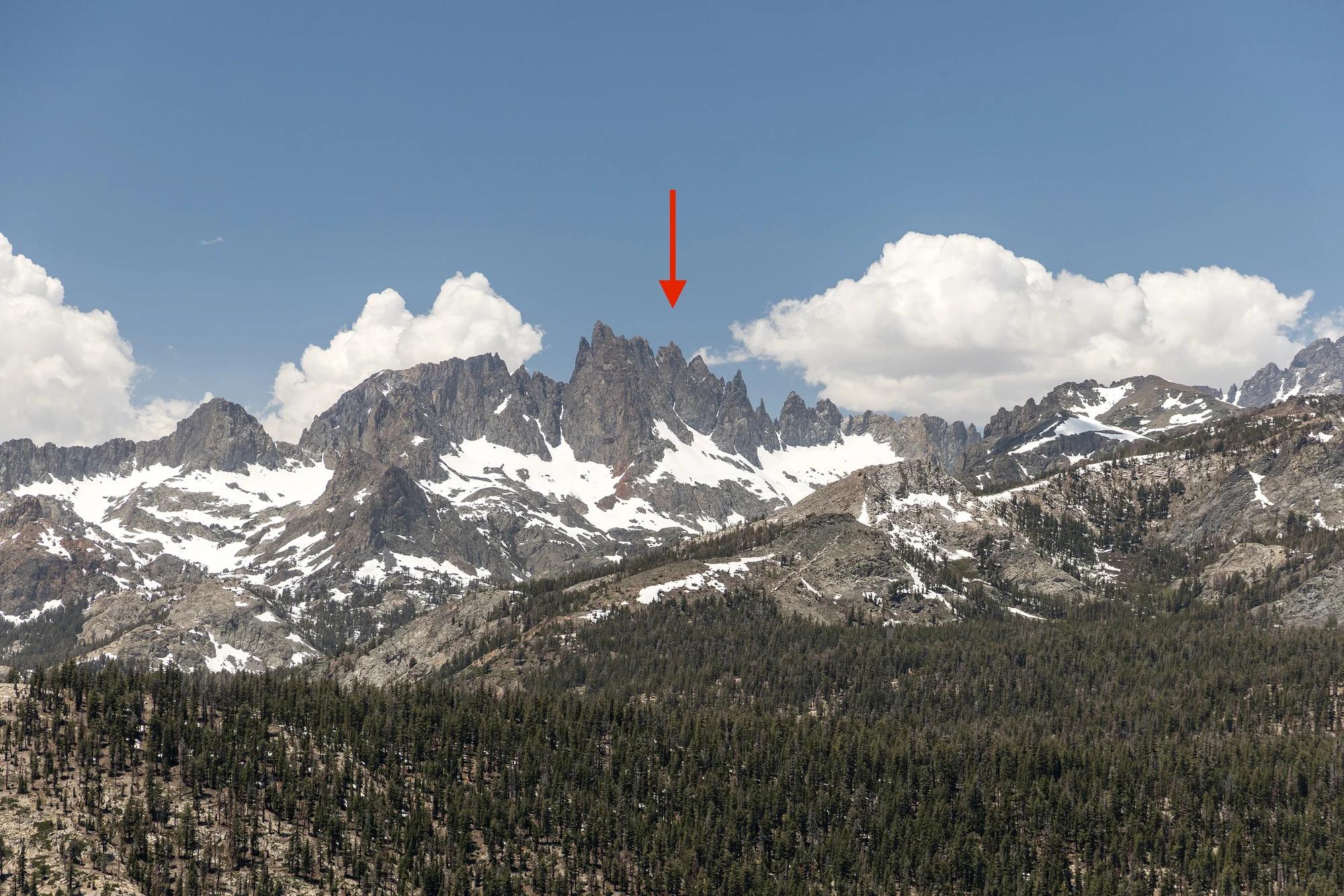
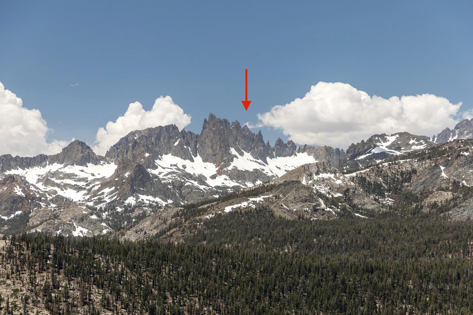
Verified California peak at 14,252 ft in Eastern Sierra.
Photo: JonathanLamb ( talk · contribs ) · CC BY 3.0
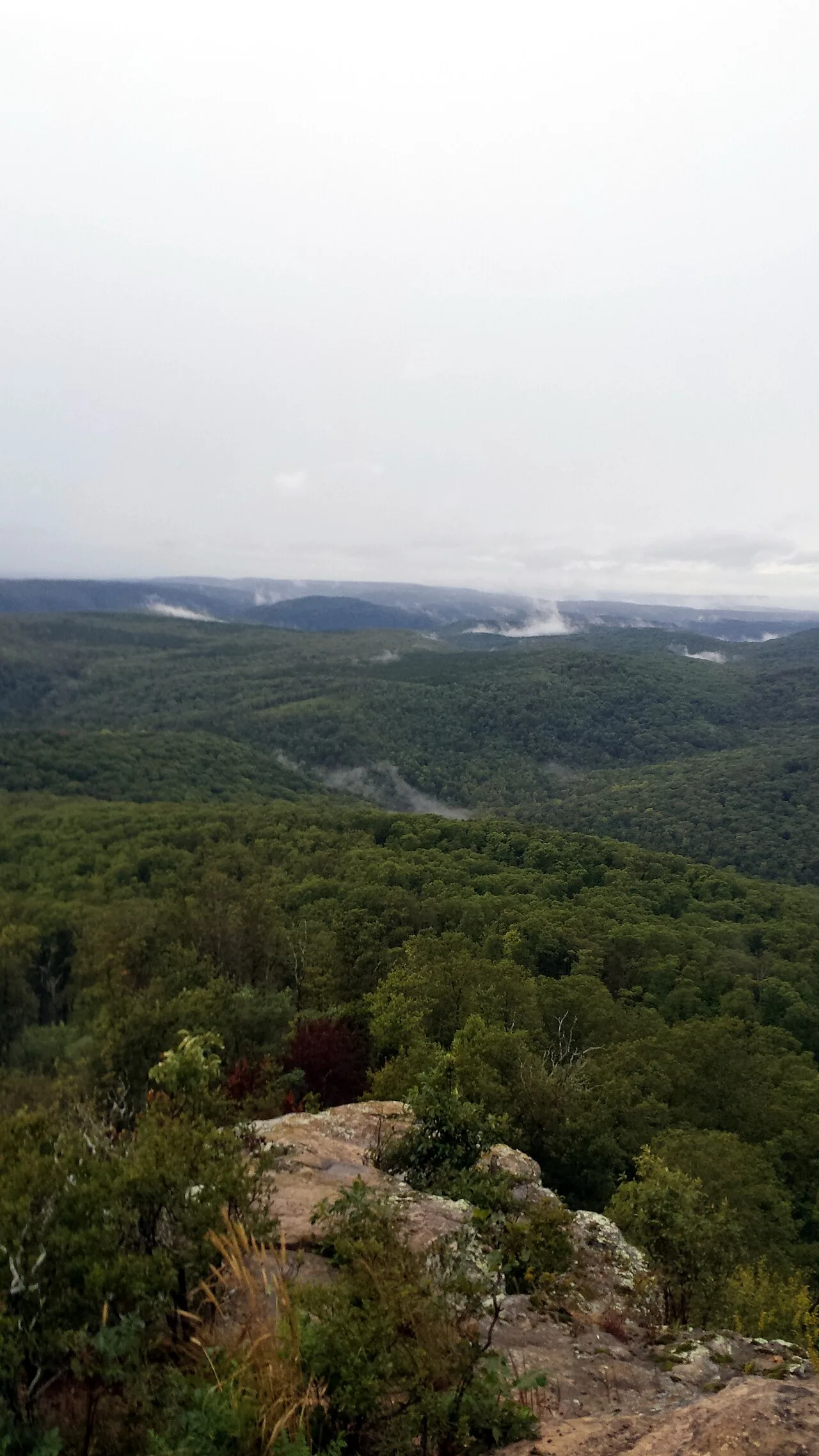
Ozark-St. Francis National Forest · South & Gulf Coast · Arkansas
2,300-foot flat-topped sandstone mesa ringed by sheer 200-foot bluffs and historic 1930s CCC stone cabins at the western terminus of the Ozark Highlands Trail.
Photo: Brandonrush · CC BY-SA 3.0
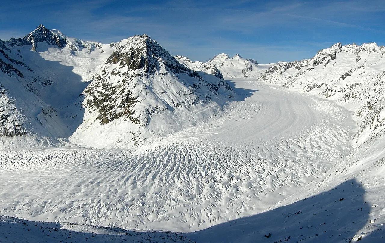
Swiss Alps Jungfrau-Aletsch UNESCO World Heritage · European Alps · Switzerland
High ridge trail tracing the 20-kilometer sweep of the largest glacier in the European Alps from Bettmerhorn to Märjelensee.
Photo: Tobias Alt, Tobi 87 · CC BY-SA 4.0
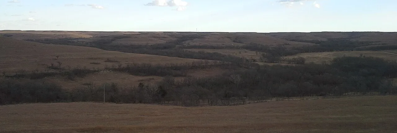
Flint Hills Nature Trail State Park · Flint Hills · Kansas
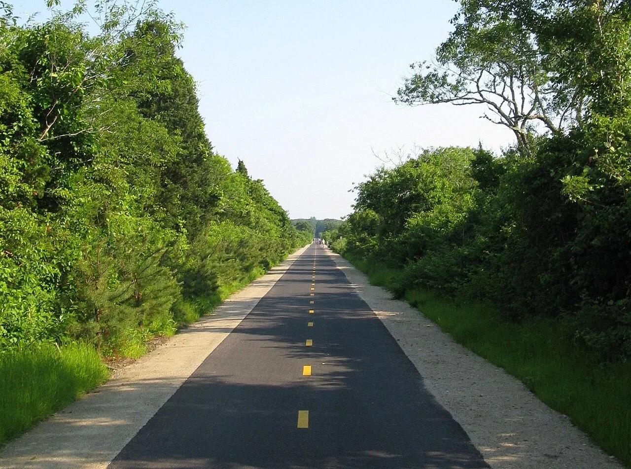
The seventh-longest rail-trail in the United States, spanning 117 miles across the last vast expanse of native tallgrass prairie on Earth.
Photo: IveGoneAway · CC BY-SA 4.0
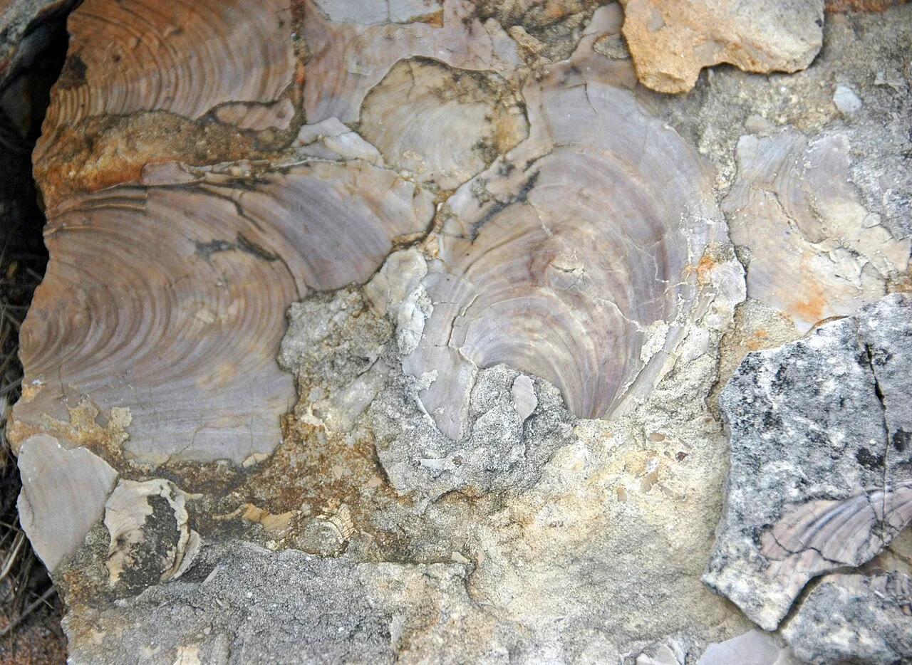
Ponca State Park · Northeast Nebraska · Nebraska
Heavily forested bluffs overlooking the unchannelized Missouri National Recreational River, where three ancient oak trees have stood for over 300 years.
Photo: James St. John · CC BY 2.0
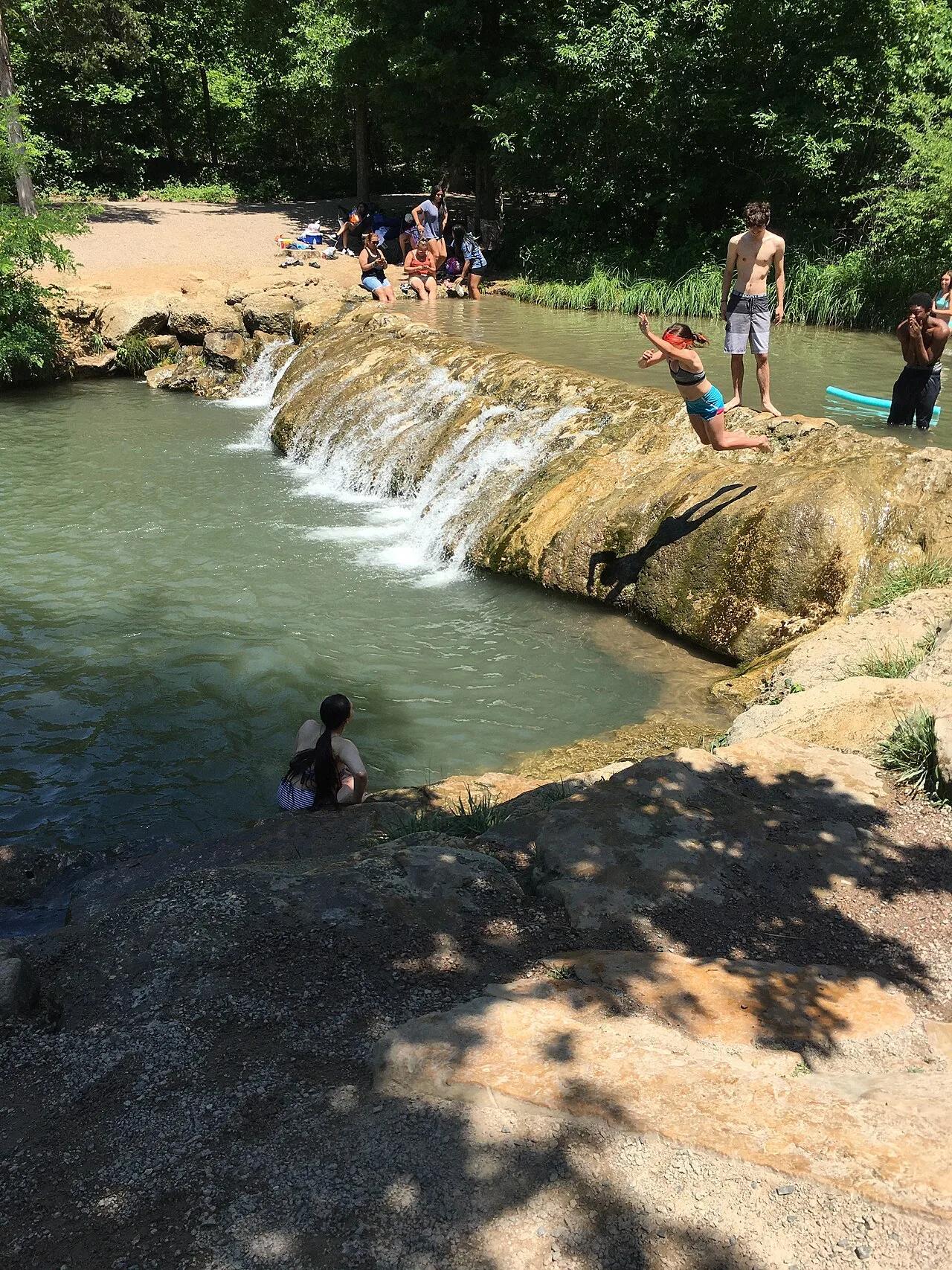
Chickasaw National Recreation Area (Sulphur) · Arbuckle Mountains · Oklahoma
Idyllic turquoise swimming hole fed by cold, mineral-rich artesian springs bubbling over travertine limestone waterfalls in Platt Historic District.
Photo: Jonathan Schilling · CC BY-SA 4.0
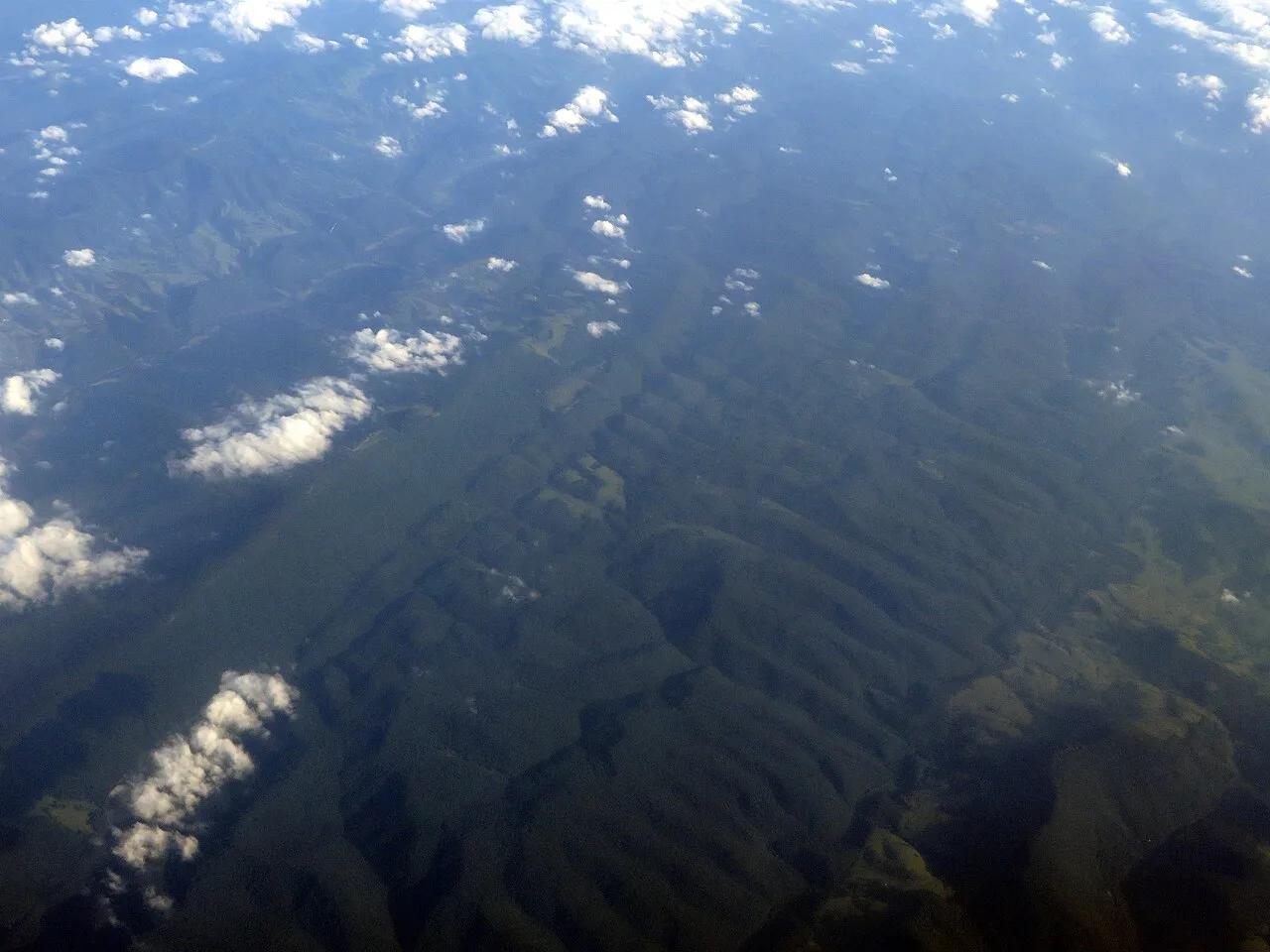
Spruce Knob-Seneca Rocks National Recreation Area · Appalachian & Blue Ridge · West Virginia
Highest point in West Virginia (4,863 ft), crowned by a stone observation tower, quartzite boulder fields, and wind-sculpted red spruce groves.
Photo: Ken Lund from Reno, Nevada, USA · CC BY-SA 2.0
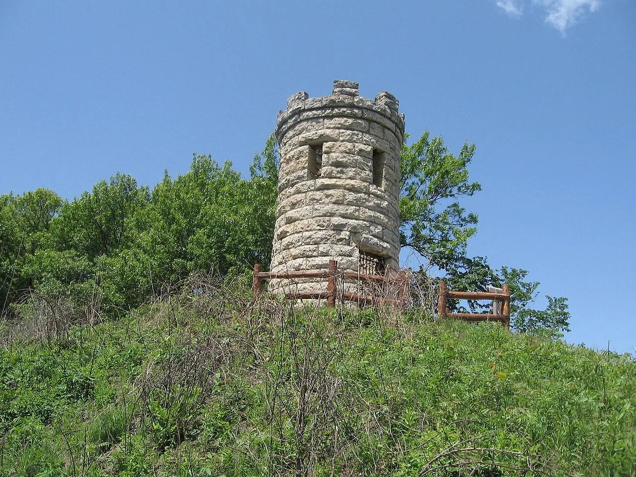
Mines of Spain State Recreation Area · Dubuque & Mississippi River · Iowa
Dramatic 200-foot Silurian dolomite quarry bluffs along the Mississippi River, featuring lead-mining history and the historic Julien Dubuque stone monument.
Photo: Bill Whittaker · CC BY-SA 3.0
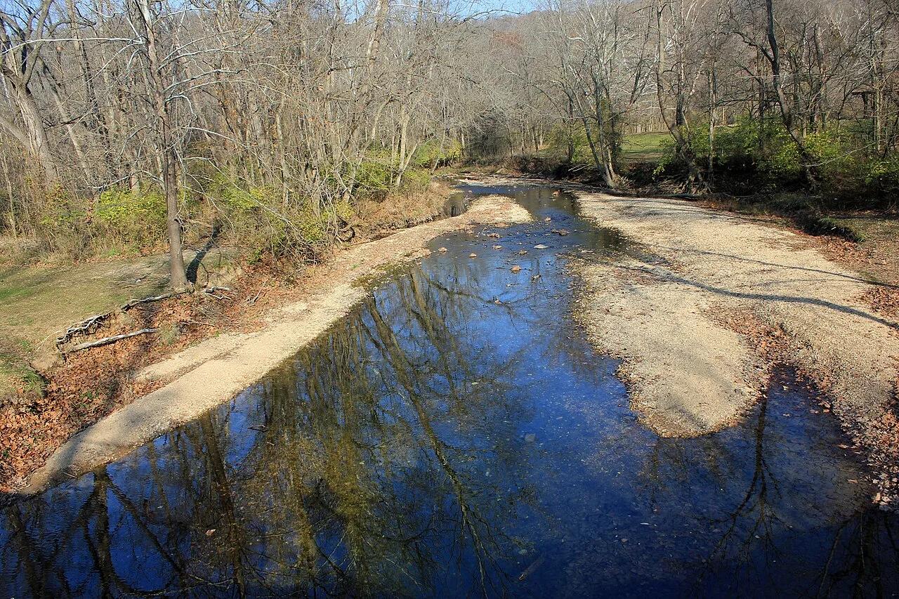
Castlewood State Park · St. Louis Metro · Missouri
Steep staircase climb to panoramic 250-foot limestone bluffs towering over the serpentine sweep of the Meramec River, popular with hikers and trail runners.
Photo: Yinan Chen · Public domain
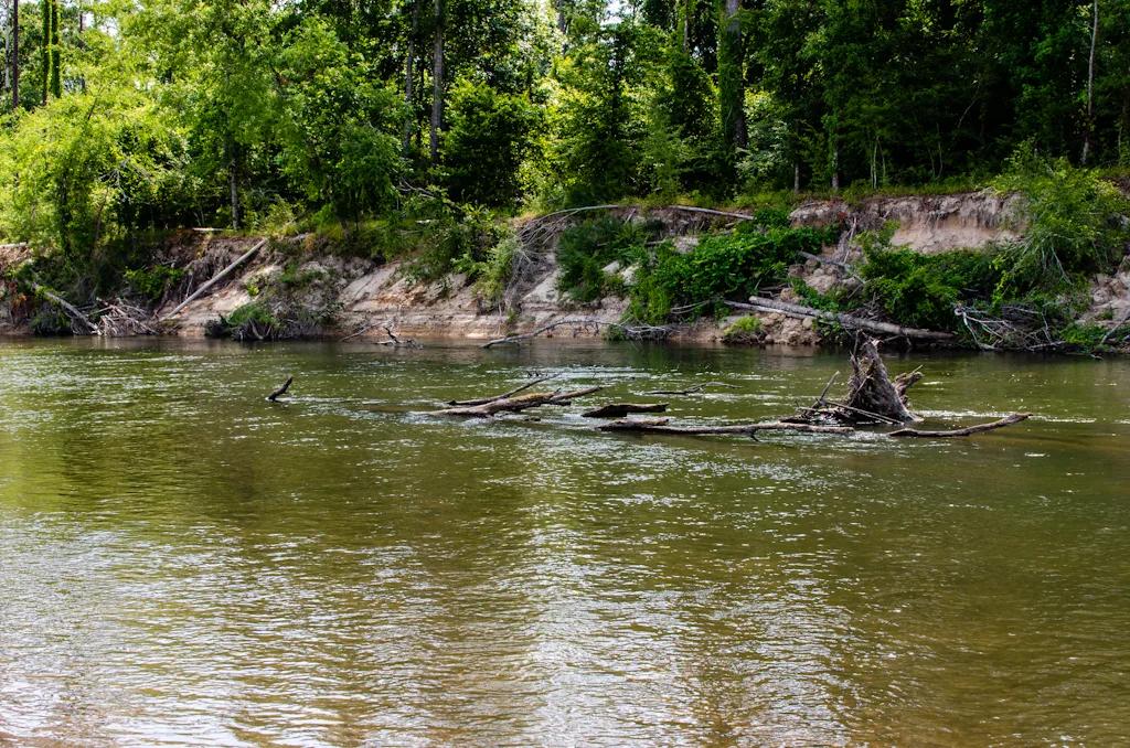
Bogue Chitto State Park (Franklinton) · South & Gulf Coast · Louisiana
Eroded sandstone spires resembling miniature badlands tucked inside a bamboo and hardwood ravine beside the Bogue Chitto River.
Photo: mcandrus · CC BY 2.0