Peak
Angeles National Forest · San Gabriel Mountains
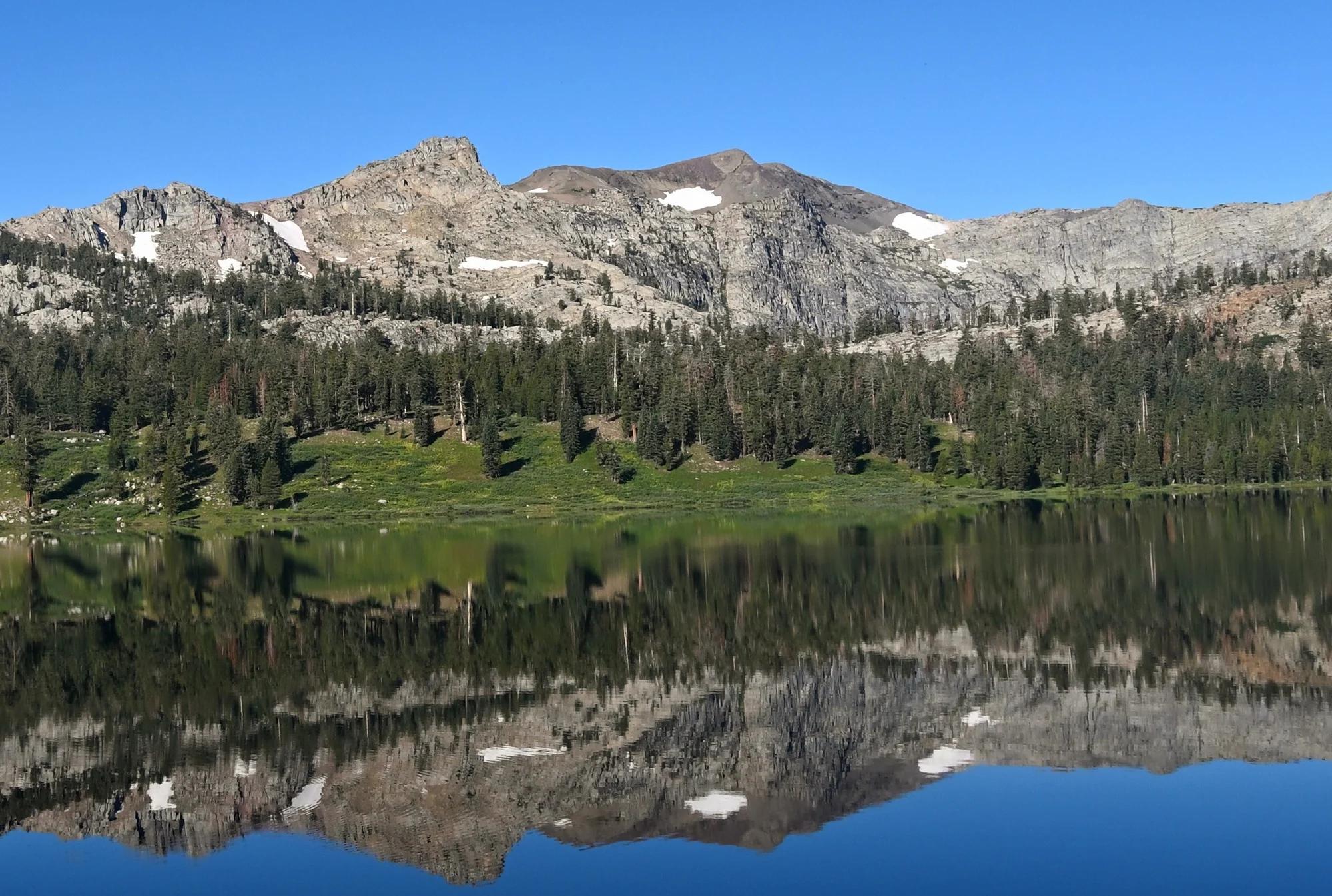
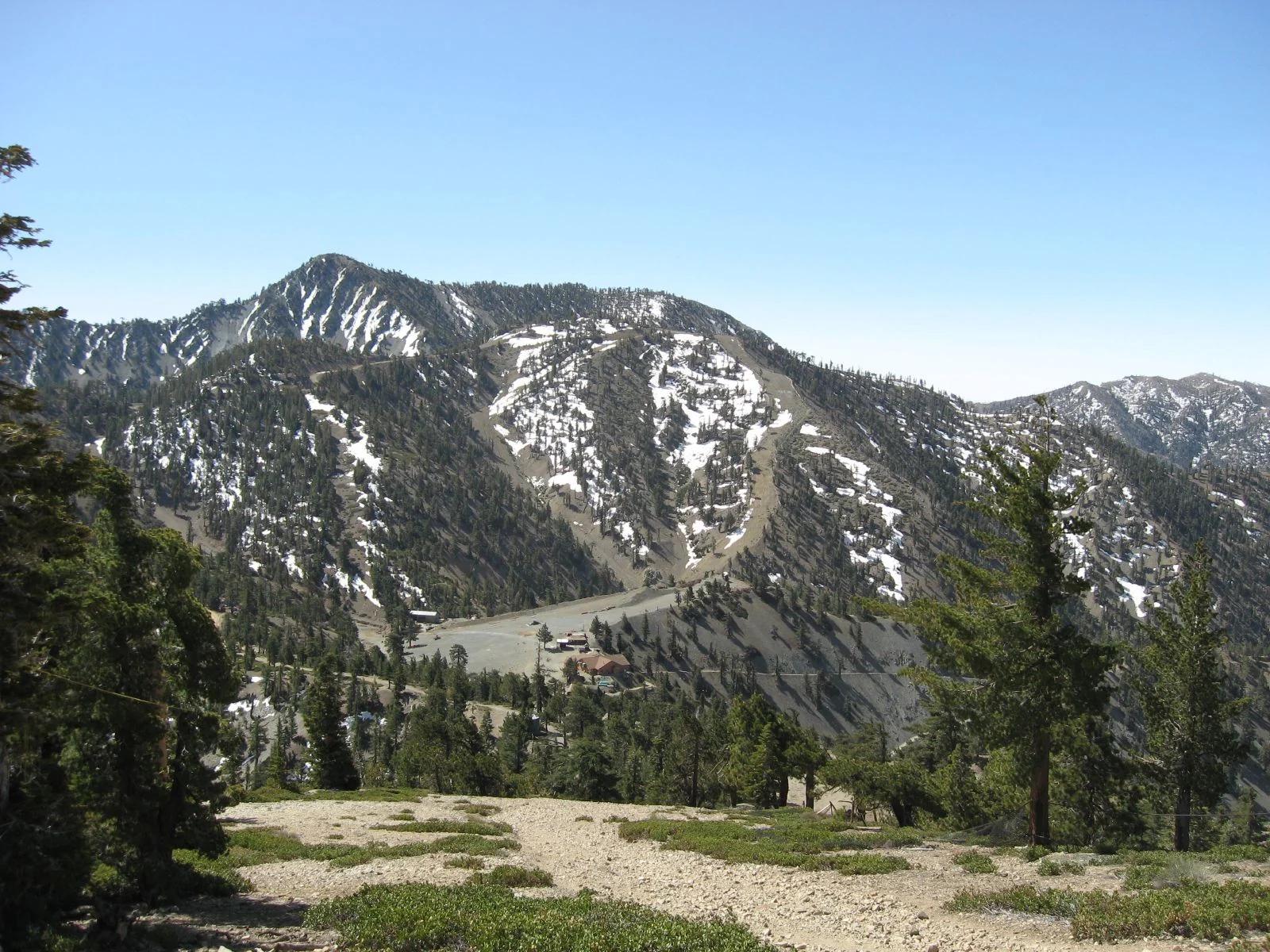
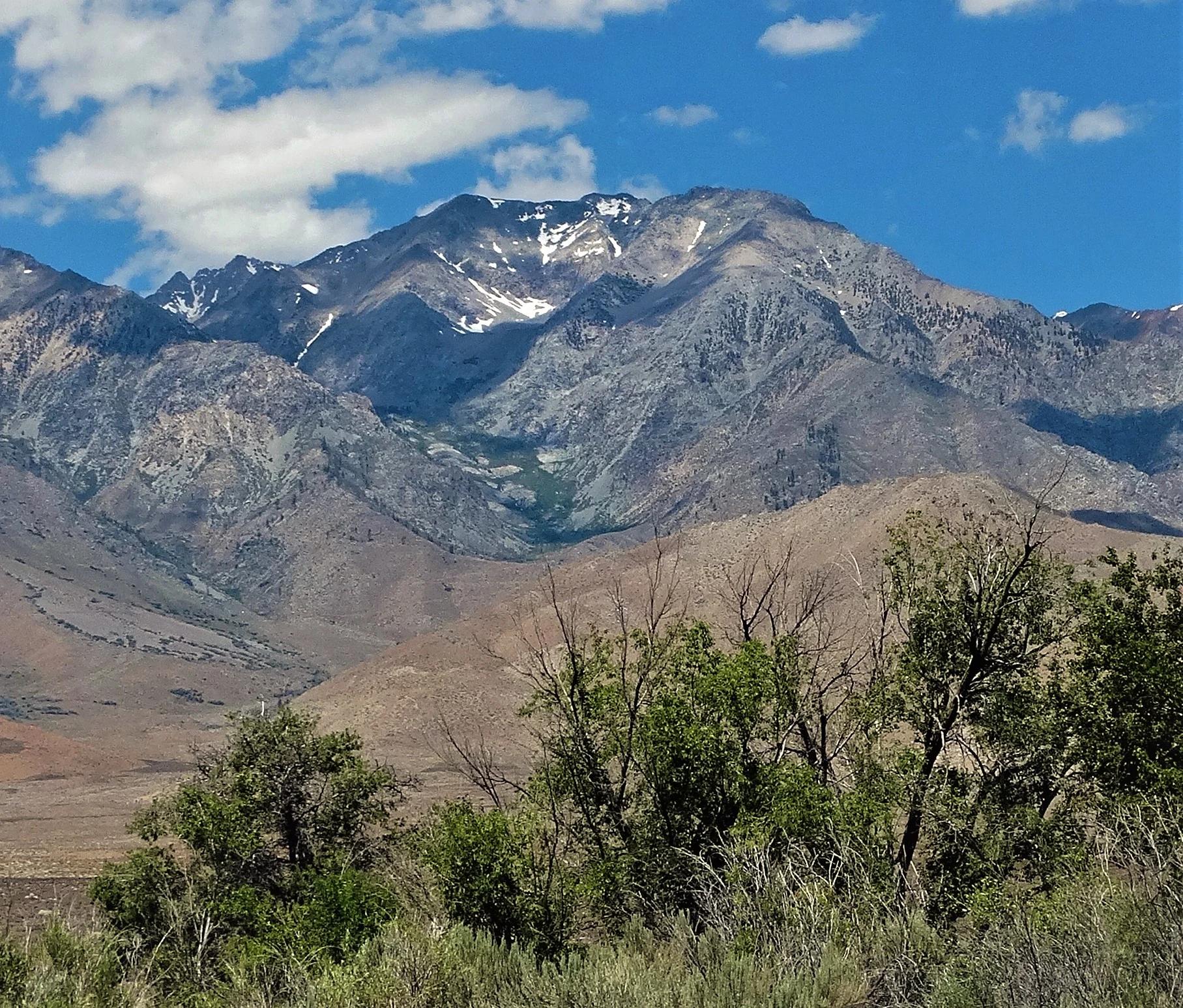
Ontario Peak
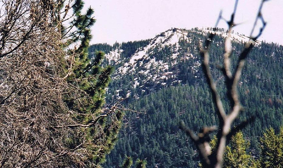
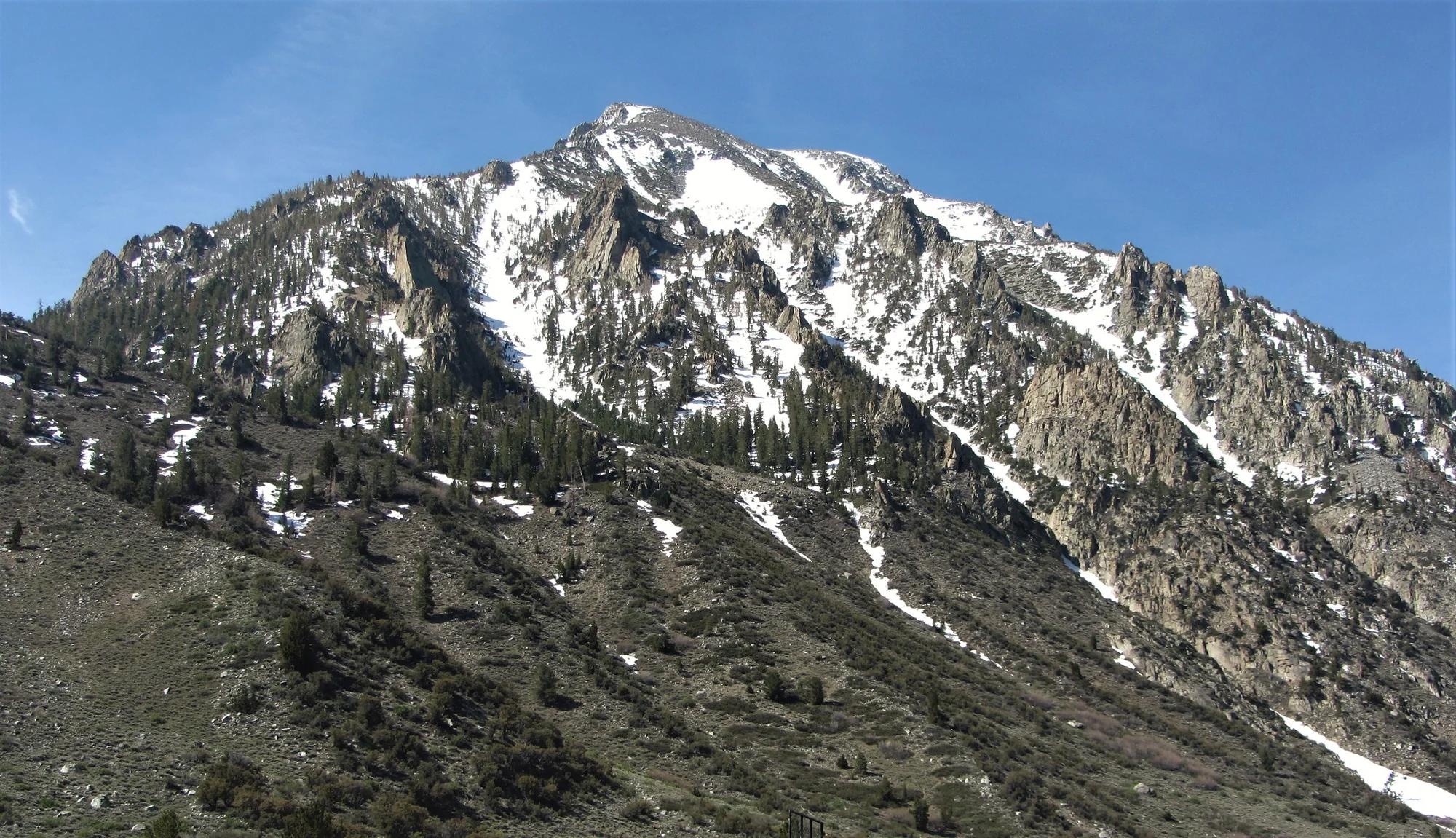
Verified California peak at 8,661 ft in Angeles National Forest (San Gabriel Mountains). Linked to Ontario Peak Trail.
- Route
- 2.6 mi
- Elevation
- 8,661 ft
Browse & Discover
Overlooks, natural arches, sea caves, groves and wildlife reserves.
1,093 of 2,051 places
Drag to pan. Double-click, pinch or scroll to zoom. Keyboard: arrow keys and +/−. Cards below remain available.
Loading map… Browse the spot cards below at any time.

Joshua Tree National Park
A granite arch in the White Tank monzogranite, reached by a short sandy trail from the Twin Tanks parking area.
John D. from Pasadena, USA · CC BY 2.0. Source & image licence

Russian Ridge Open Space Preserve
The highest named summit in San Mateo County, an open grassland top on Russian Ridge with views from the ocean to the Bay.
Justin Dolske from Cupertino, USA · CC BY-SA 2.0. Source & image licence

Eaton Canyon Natural Area
The waterfall at the head of lower Eaton Canyon, reached by a wide wash walk from the Eaton Canyon Nature Center and a final creekside scramble.
[scott.medling or en:user:scott.medling user:scott.medling from California, United States] · CC BY-SA 2.0. Source & image licence

Angeles National Forest
The ruined mountain resort of the Mount Lowe Railway, on a front-range promontory above Altadena at the top of the Lower Sam Merrill Trail.
Lennonrodgers at en.wikipedia · Public domain. Source & image licence

Escondido Canyon Park
A multi-tiered waterfall in Escondido Canyon above Malibu. The maintained trail ends at the base of the mossy lower tier.
Santa Monica Mountains National Recreation Area · Public domain. Source & image licence

Inyo National Forest
A chain of small alpine lakes at the head of Little Lakes Valley in the John Muir Wilderness, below the 13,000-foot peaks of the Bear Creek Spire cirque.
Jane S. Richardson (talk · contribs) · CC BY-SA 3.0. Source & image licence

Angeles National Forest
A high saddle and five-way trail junction on the Cucamonga Wilderness ridge, at the top of the steady climb up Icehouse Canyon.
Jason Hollinger · CC BY 2.0. Source & image licence

Mount Tamalpais Watershed
A winter-and-spring cascade on Cataract Creek just below the Laurel Dell picnic area, reached downhill along the Cataract Trail from Rock Spring.
Richard Wood · CC BY-SA 3.0. Source & image licence

Joshua Tree National Park
One of the best-preserved stamp mills in Joshua Tree National Park, at the site of the Lost Horse gold mine.
Joseph from Cabin On The Road, USA · CC BY-SA 2.0. Source & image licence

Angeles National Forest
A waterfall of about fifty feet filling the head of a narrow, shaded canyon, a short walk upstream from Millard Campground.
Region 5 Photography · Public domain. Source & image licence

Mission Peak Regional Preserve
The bare grassland summit above Fremont, marked by the Mission Peeker sighting pole and climbed by the Hidden Valley Trail from Stanford Avenue.
Oleg Alexandrov · CC BY-SA 3.0. Source & image licence

Angeles National Forest
The highest summit of the San Gabriel Mountains, reached from Baldy Notch along the exposed Devils Backbone ridge.
Darkest tree · CC BY-SA 4.0. Source & image licence

Mount Tamalpais State Park
The summit of Mount Tamalpais, a short plank-and-rock climb from the East Peak visitor area to the fire lookout above the whole Bay Area.
Chris Koerner from St. Louis, USA · CC BY-SA 2.0. Source & image licence

Inyo National Forest
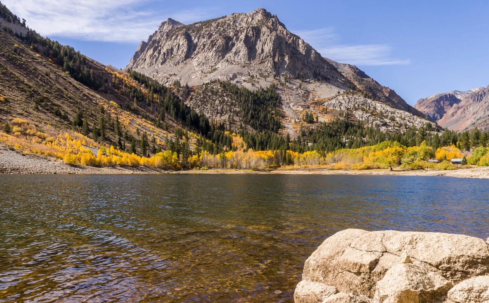
A quiet lake in the Ansel Adams Wilderness beneath Parker Peak, reached through sage and an aspen-lined creek canyon off the June Lake Loop.
Mark Gunn from Novato, California, USA · CC BY 2.0. Source & image licence

Pfeiffer Big Sur State Park
A 60-foot waterfall on Pfeiffer-Redwood Creek, reached through the redwoods of Pfeiffer Big Sur State Park on a trail twice rebuilt — after the 2008 Basin Complex Fire and again after 2023 storm damage.
Joe Mabel · CC BY-SA 4.0. Source & image licence
Joshua Tree National Park
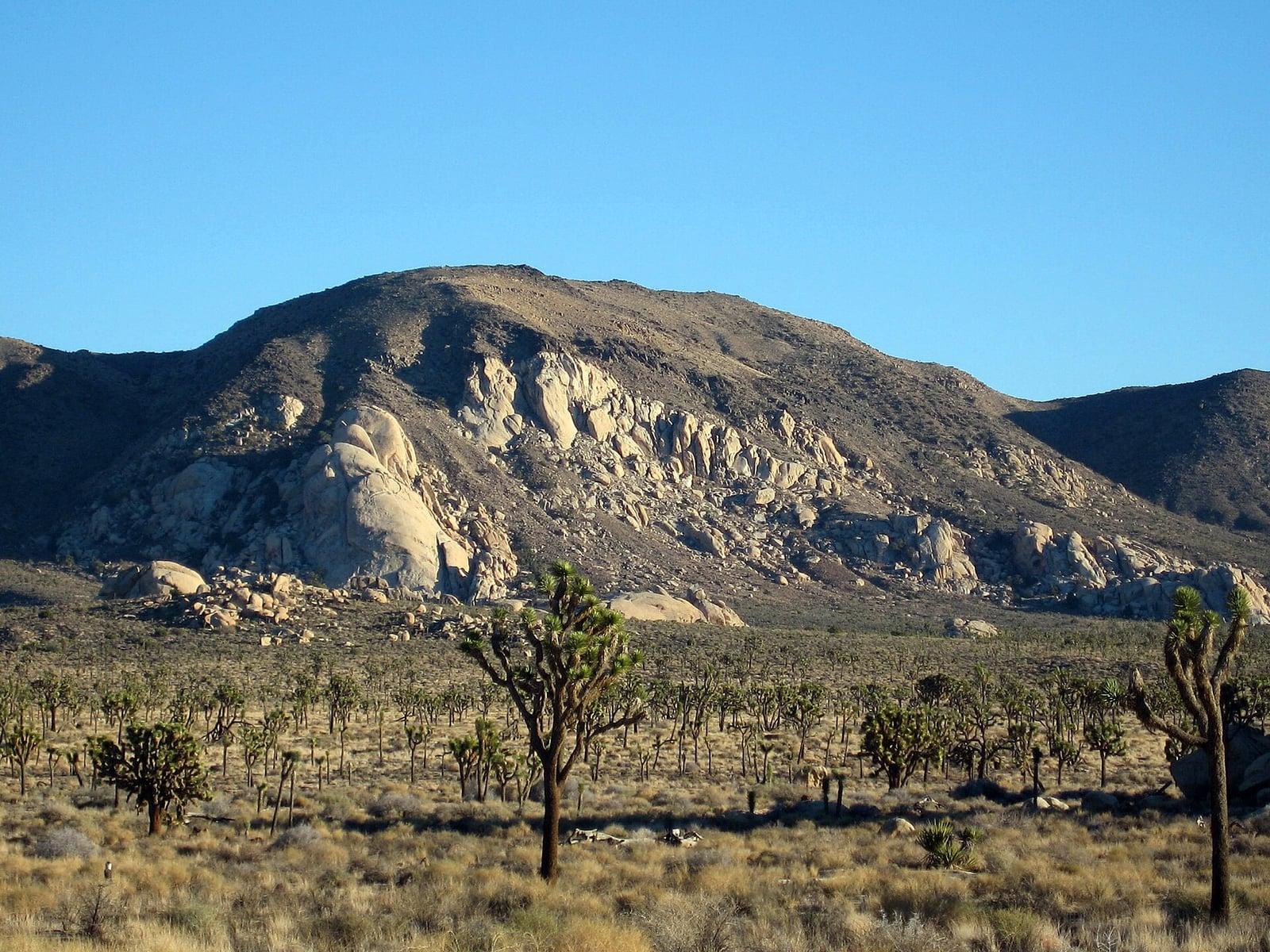
A signed summit trail in Joshua Tree National Park, climbing from Park Boulevard to Ryan Mountain.
Robb Hannawacker / National Park Service · Public domain. Source & image licence

Santa Monica Mountains National Recreation Area
The highest point in the Santa Monica Mountains, climbed from the Mishe Mokwa trailhead along the Backbone Trail at Circle X Ranch.
Wasquewhat · CC BY-SA 4.0. Source & image licence

Angeles National Forest
A 50-foot single drop into a shallow plunge pool, 1.7 mi up Big Santa Anita Canyon. Shaded the entire way in. The work is all on the walk out.
U.S. Department of Agriculture / USDA USFS · CC BY 2.0. Source & image licence
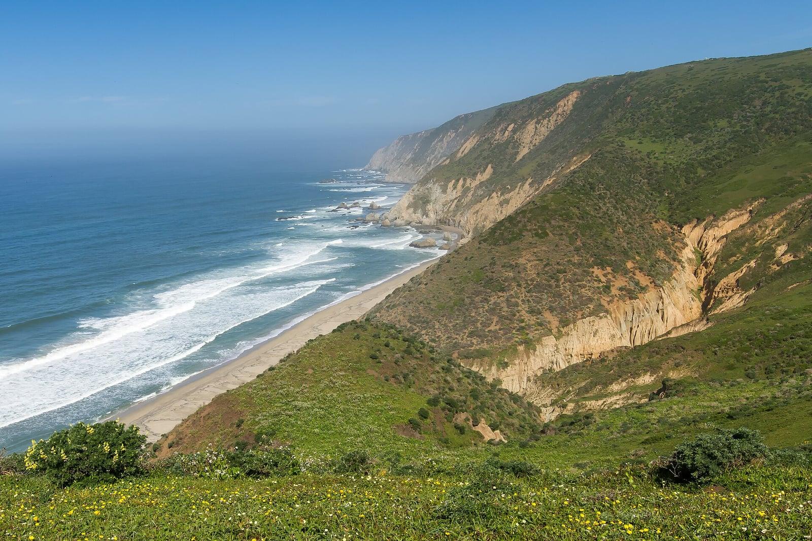
Point Reyes National Seashore
The northern tip of the Point Reyes peninsula, reached across the open bluffs of the Tomales Point Tule Elk Reserve.
Frank Schulenburg · CC BY-SA 4.0. Source & image licence
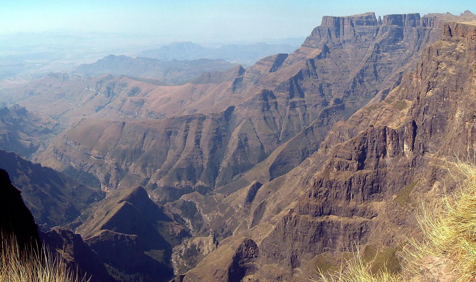
Royal Natal National Park / Maloti-Drakensberg UNESCO · Africa & Middle East · South Africa
The world's second tallest waterfall, plunging 948 metres down the sheer basalt wall of the majestic 5-kilometre wide Drakensberg Amphitheatre.
Photo: PhilippN · CC BY-SA 3.0
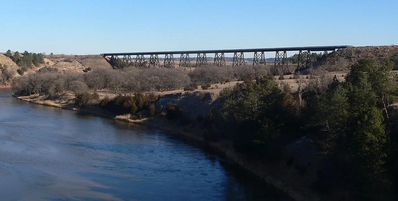
Cowboy Recreation and Nature Trail (Valentine) · Sandhills · Nebraska
A quarter-mile long, 148-foot high historic railroad trestle bridge soaring over the wild Niobrara River valley along America's longest rails-to-trails corridor.
Photo: Ammodramus · Public domain
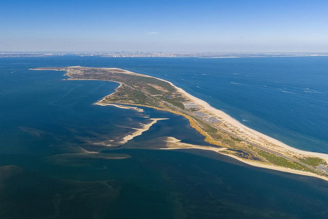
Gateway National Recreation Area (Sandy Hook Unit) · Jersey Shore · New Jersey
A 7-mile paved coastal trail traversing salt marshes, pristine beaches, and the oldest operating lighthouse in the United States.
Photo: Szeremeta · CC BY 4.0
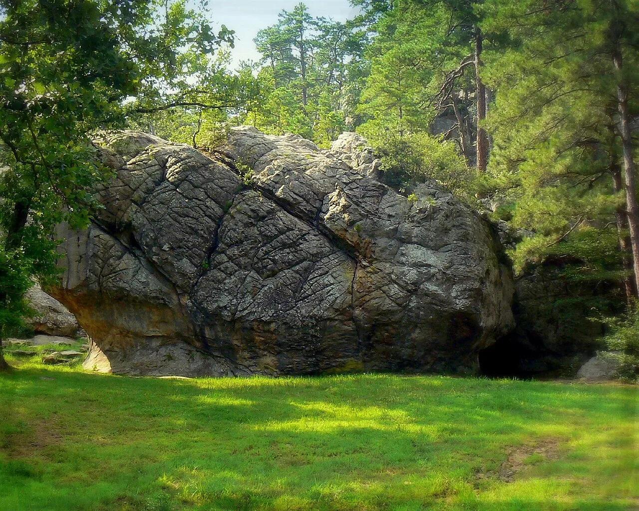
Robbers Cave State Park (Wilburton) · San Bois Mountains · Oklahoma
Maze of 100-foot sandstone bluffs and hidden caves once used as a legendary hideout by outlaws Jesse James, Belle Starr, and the Dalton Gang.
Photo: Thomas & Dianne Jones from Okmulgee, USA · CC BY 2.0
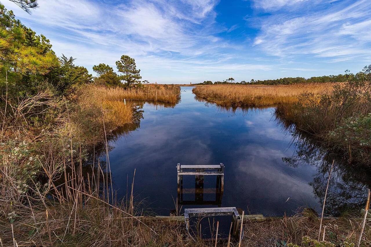
Cape Henlopen State Park (Rehoboth Beach) · Southern Delaware Coast · Delaware
A crushed-stone bike trail featuring an elevated half-mile wooden boardwalk skimming directly over a coastal saltwater lagoon.
Photo: Andrew Parlette from Elkridge,MD, US · CC BY 2.0
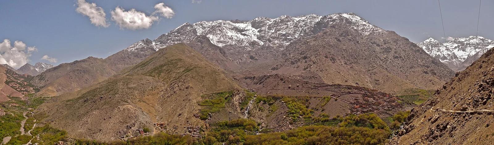
Toubkal National Park · Africa & Middle East · Morocco
The highest peak in North Africa and the Atlas Mountains, climbing past Berber stone villages and alpine scree to an iron pyramid summit overlooking the Sahara.
Photo: Kitetraveller.com from Vienna, Austria · CC BY-SA 2.0
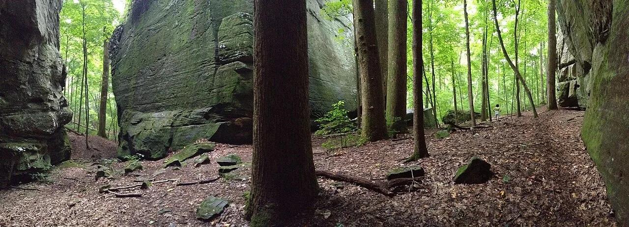
Shawnee National Forest (Karbers Ridge) · Southern Illinois / Shawnee · Illinois
Circular rim trail around a prehistoric stone fort bluff leading down wooden stairs through a narrow crevice into massive sandstone Ox-Lot Cave.
Photo: usfs_Eastern_Region · Public domain
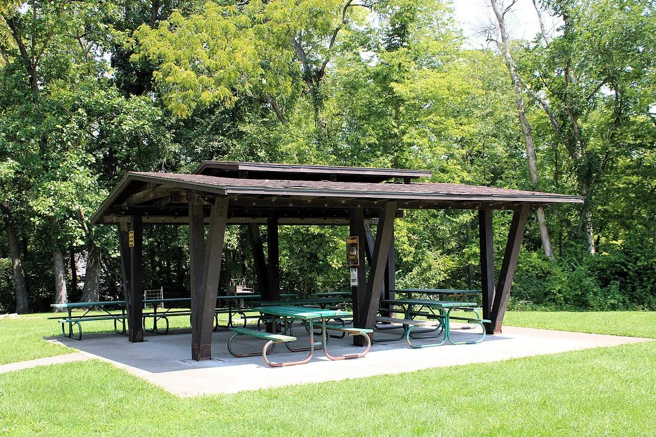
Wildcat Den State Park (Muscatine) · East Central Iowa · Iowa
Sandstone canyons and towering formations like Steamboat Rock and Devil's Punchbowl, anchored by an operational 1848 water-powered grist mill.
Photo: Farragutful · CC BY-SA 4.0
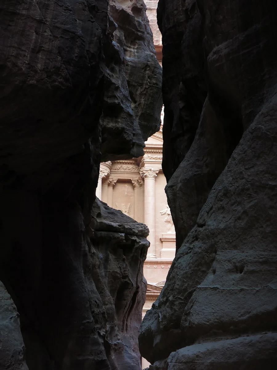
Petra Archaeological Park UNESCO · Africa & Middle East · Jordan
Ancient sandstone gorge splitting high rose-hued cliffs for 1.2 kilometres, dramatically framing the rock-carved Hellenistic facade of the Treasury (Al-Khazneh).
Photo: LiAnna Davis · CC BY-SA 3.0
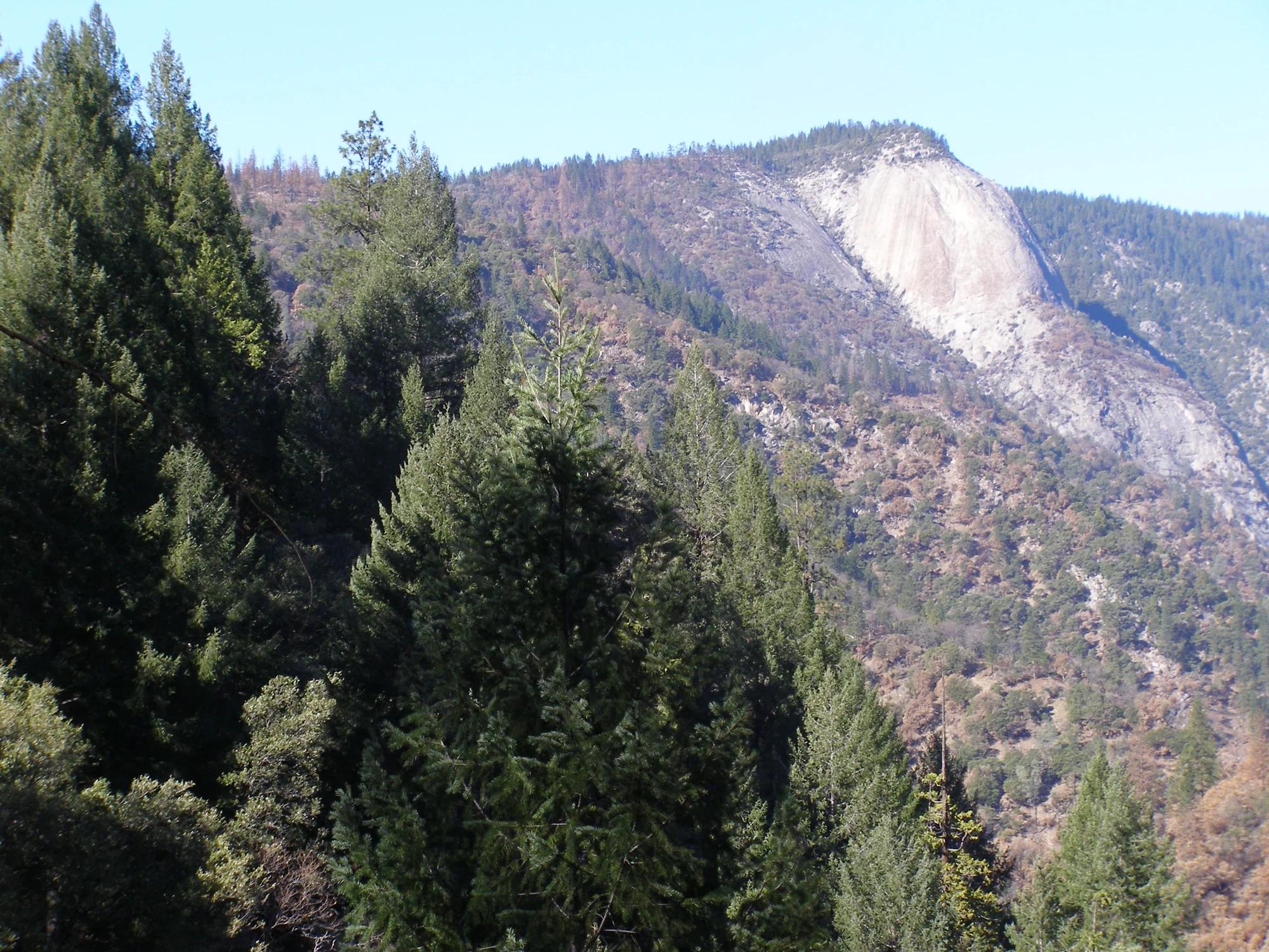
Central Valley & Foothills
Verified California peak at 3,353 ft in Central Valley & Foothills.
Photo: Derek Wolfgram from San Jose, CA · CC BY 2.0
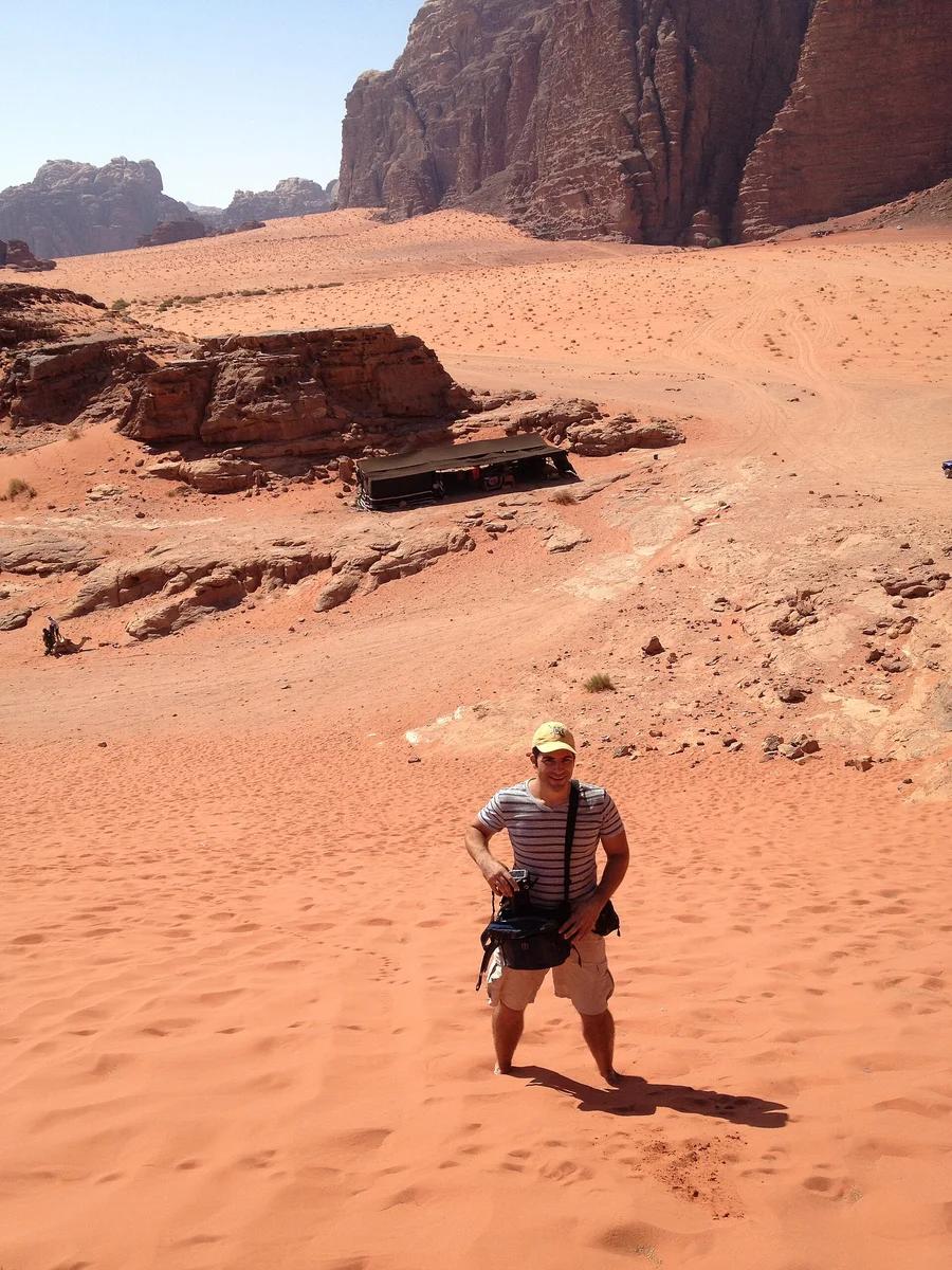
Wadi Rum Protected Area UNESCO · Africa & Middle East · Jordan
The 'Valley of the Moon': vast desert valleys carved between monolithic sandstone mountains, natural rock arches, and dramatic crimson sand dunes.
Photo: Jorge Láscar from Australia · CC BY 2.0
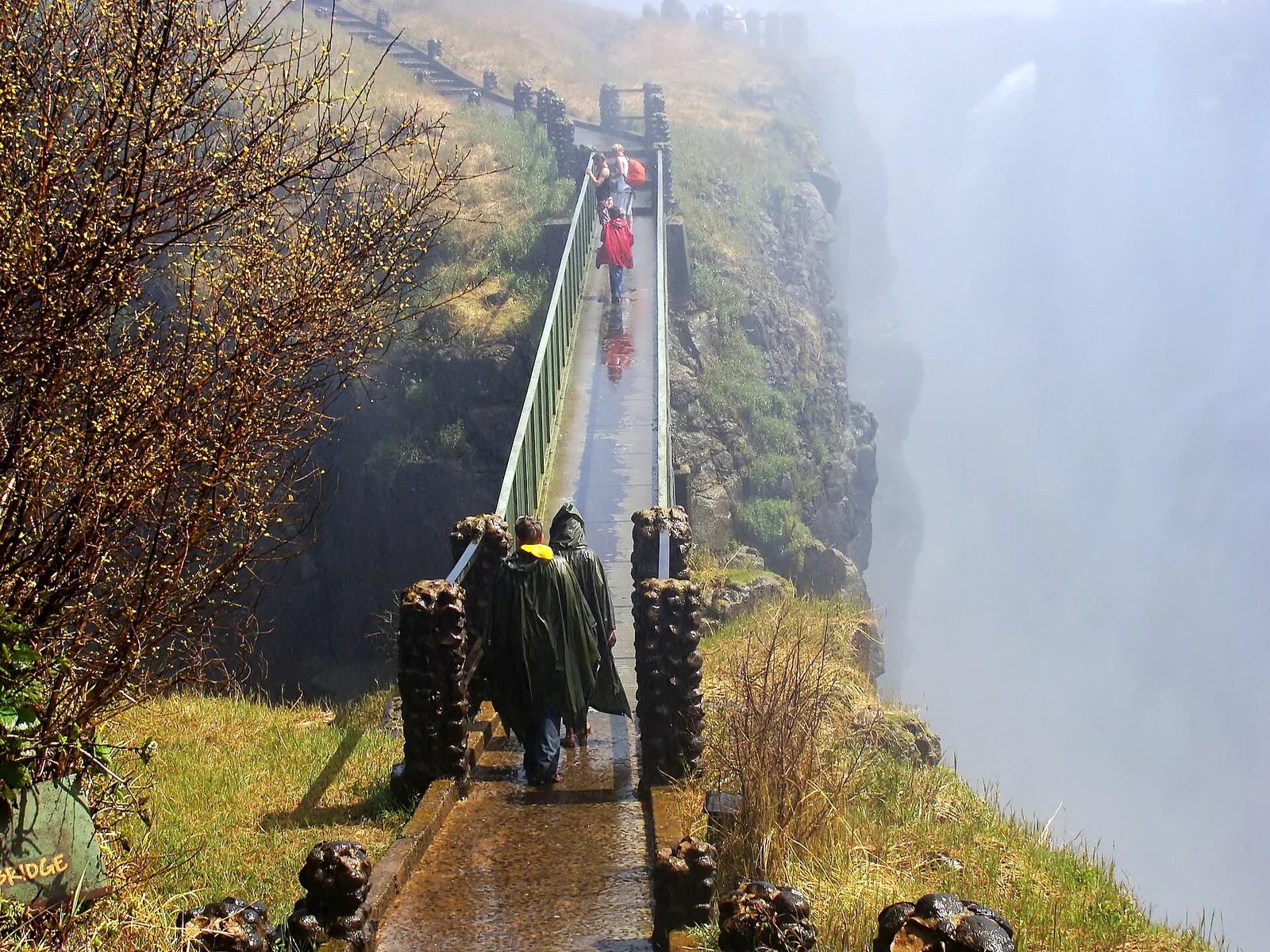
Mosi-oa-Tunya National Park UNESCO · Africa & Middle East · Zambia / Zimbabwe
'The Smoke That Thunders' (Mosi-oa-Tunya), the world's largest curtain of falling water, crossed via an adrenaline-inducing suspension footbridge in perpetual mist.
Photo: Hans Hillewaert · CC BY-SA 4.0
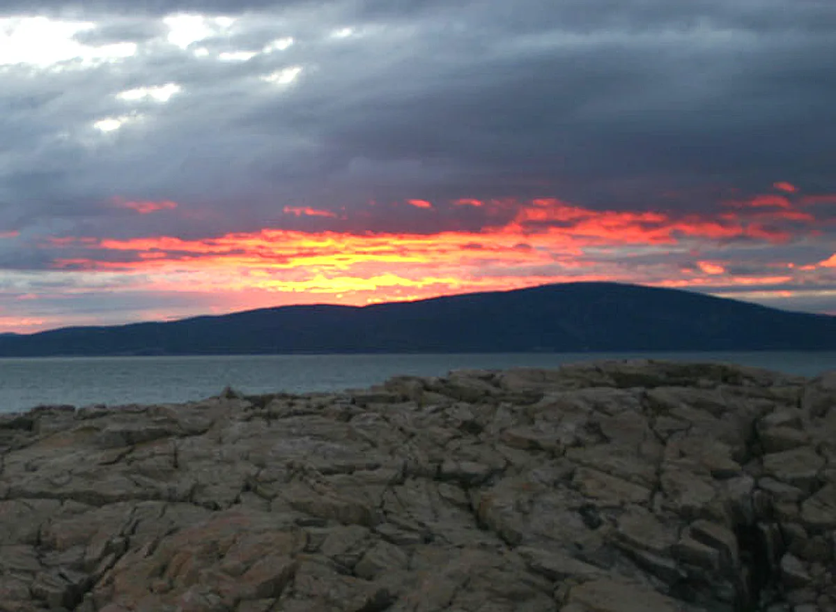
Acadia National Park · Downeast Maine · Maine
Ascend bare pink granite ridges with sweeping views over Frenchman Bay and the Porcupine Islands to the highest peak on the Atlantic coast.
Photo: The original uploader was NightThree at English Wikipedia. · CC BY 2.0