Viewpoint
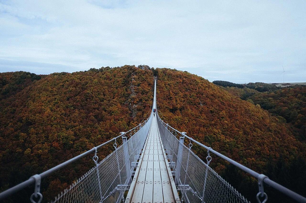
Hunsrück Hills (Mörsdorf) · Central Europe · Germany
Geierlay Hängeseilbrücke & Saar-Hunsrück Climb
360-meter-long pedestrian cable suspension bridge swaying 100 meters above the wooded Mörsdorfer Bach valley.
- Route
- 4 mi
- Climb
- 607 ft
Browse & Discover
Overlooks, natural arches, sea caves, groves and wildlife reserves.
1,093 of 2,051 places
Drag to pan. Double-click, pinch or scroll to zoom. Keyboard: arrow keys and +/−. Cards below remain available.
Loading map… Browse the spot cards below at any time.

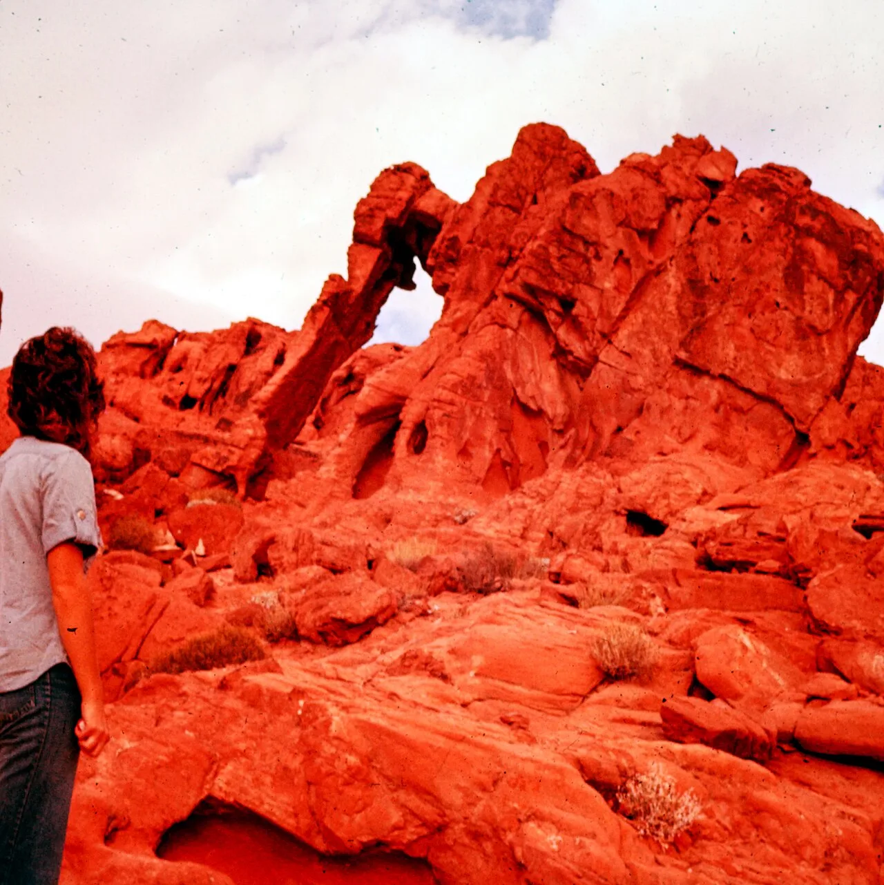
Joshua Tree National Park
A granite arch in the White Tank monzogranite, reached by a short sandy trail from the Twin Tanks parking area.
John D. from Pasadena, USA · CC BY 2.0. Source & image licence

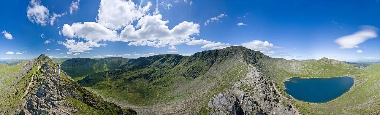
Russian Ridge Open Space Preserve
The highest named summit in San Mateo County, an open grassland top on Russian Ridge with views from the ocean to the Bay.
Justin Dolske from Cupertino, USA · CC BY-SA 2.0. Source & image licence

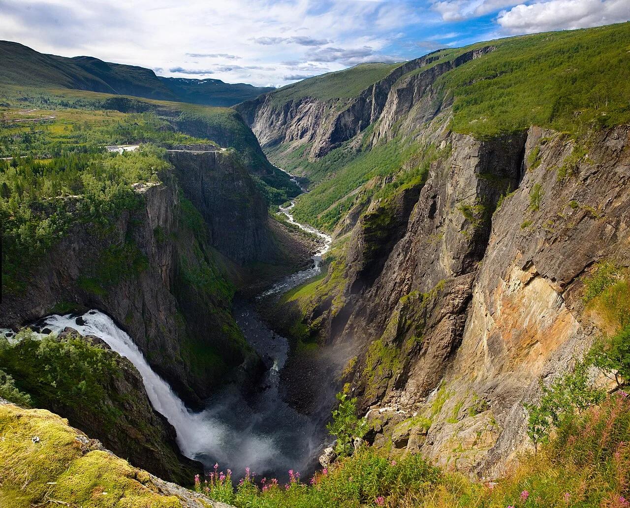
Eaton Canyon Natural Area
The waterfall at the head of lower Eaton Canyon, reached by a wide wash walk from the Eaton Canyon Nature Center and a final creekside scramble.
[scott.medling or en:user:scott.medling user:scott.medling from California, United States] · CC BY-SA 2.0. Source & image licence

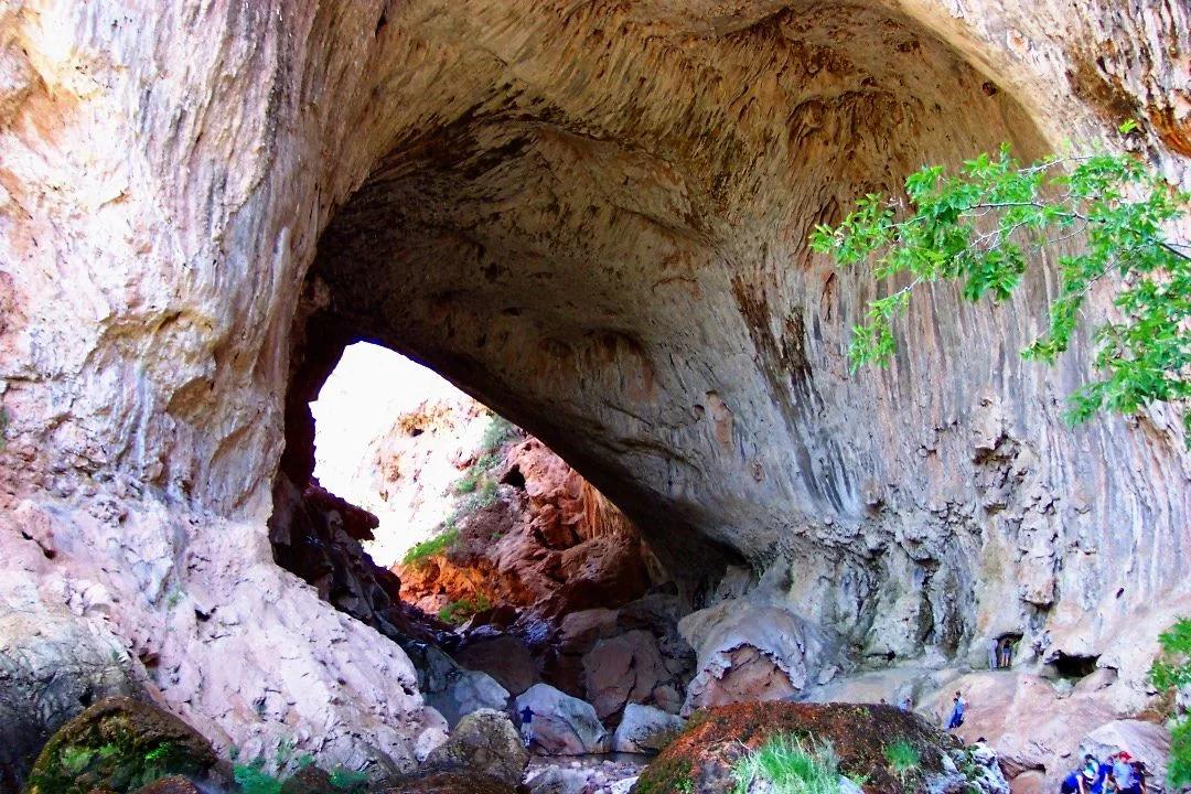
Angeles National Forest
The ruined mountain resort of the Mount Lowe Railway, on a front-range promontory above Altadena at the top of the Lower Sam Merrill Trail.
Lennonrodgers at en.wikipedia · Public domain. Source & image licence

Escondido Canyon Park
A multi-tiered waterfall in Escondido Canyon above Malibu. The maintained trail ends at the base of the mossy lower tier.
Santa Monica Mountains National Recreation Area · Public domain. Source & image licence

Inyo National Forest
A chain of small alpine lakes at the head of Little Lakes Valley in the John Muir Wilderness, below the 13,000-foot peaks of the Bear Creek Spire cirque.
Jane S. Richardson (talk · contribs) · CC BY-SA 3.0. Source & image licence

Angeles National Forest
A high saddle and five-way trail junction on the Cucamonga Wilderness ridge, at the top of the steady climb up Icehouse Canyon.
Jason Hollinger · CC BY 2.0. Source & image licence

Mount Tamalpais Watershed
A winter-and-spring cascade on Cataract Creek just below the Laurel Dell picnic area, reached downhill along the Cataract Trail from Rock Spring.
Richard Wood · CC BY-SA 3.0. Source & image licence

Joshua Tree National Park
One of the best-preserved stamp mills in Joshua Tree National Park, at the site of the Lost Horse gold mine.
Joseph from Cabin On The Road, USA · CC BY-SA 2.0. Source & image licence

Angeles National Forest
A waterfall of about fifty feet filling the head of a narrow, shaded canyon, a short walk upstream from Millard Campground.
Region 5 Photography · Public domain. Source & image licence

Mission Peak Regional Preserve
The bare grassland summit above Fremont, marked by the Mission Peeker sighting pole and climbed by the Hidden Valley Trail from Stanford Avenue.
Oleg Alexandrov · CC BY-SA 3.0. Source & image licence

Angeles National Forest
The highest summit of the San Gabriel Mountains, reached from Baldy Notch along the exposed Devils Backbone ridge.
Darkest tree · CC BY-SA 4.0. Source & image licence

Mount Tamalpais State Park
The summit of Mount Tamalpais, a short plank-and-rock climb from the East Peak visitor area to the fire lookout above the whole Bay Area.
Chris Koerner from St. Louis, USA · CC BY-SA 2.0. Source & image licence

Inyo National Forest
A quiet lake in the Ansel Adams Wilderness beneath Parker Peak, reached through sage and an aspen-lined creek canyon off the June Lake Loop.
Mark Gunn from Novato, California, USA · CC BY 2.0. Source & image licence

Pfeiffer Big Sur State Park
A 60-foot waterfall on Pfeiffer-Redwood Creek, reached through the redwoods of Pfeiffer Big Sur State Park on a trail twice rebuilt — after the 2008 Basin Complex Fire and again after 2023 storm damage.
Joe Mabel · CC BY-SA 4.0. Source & image licence
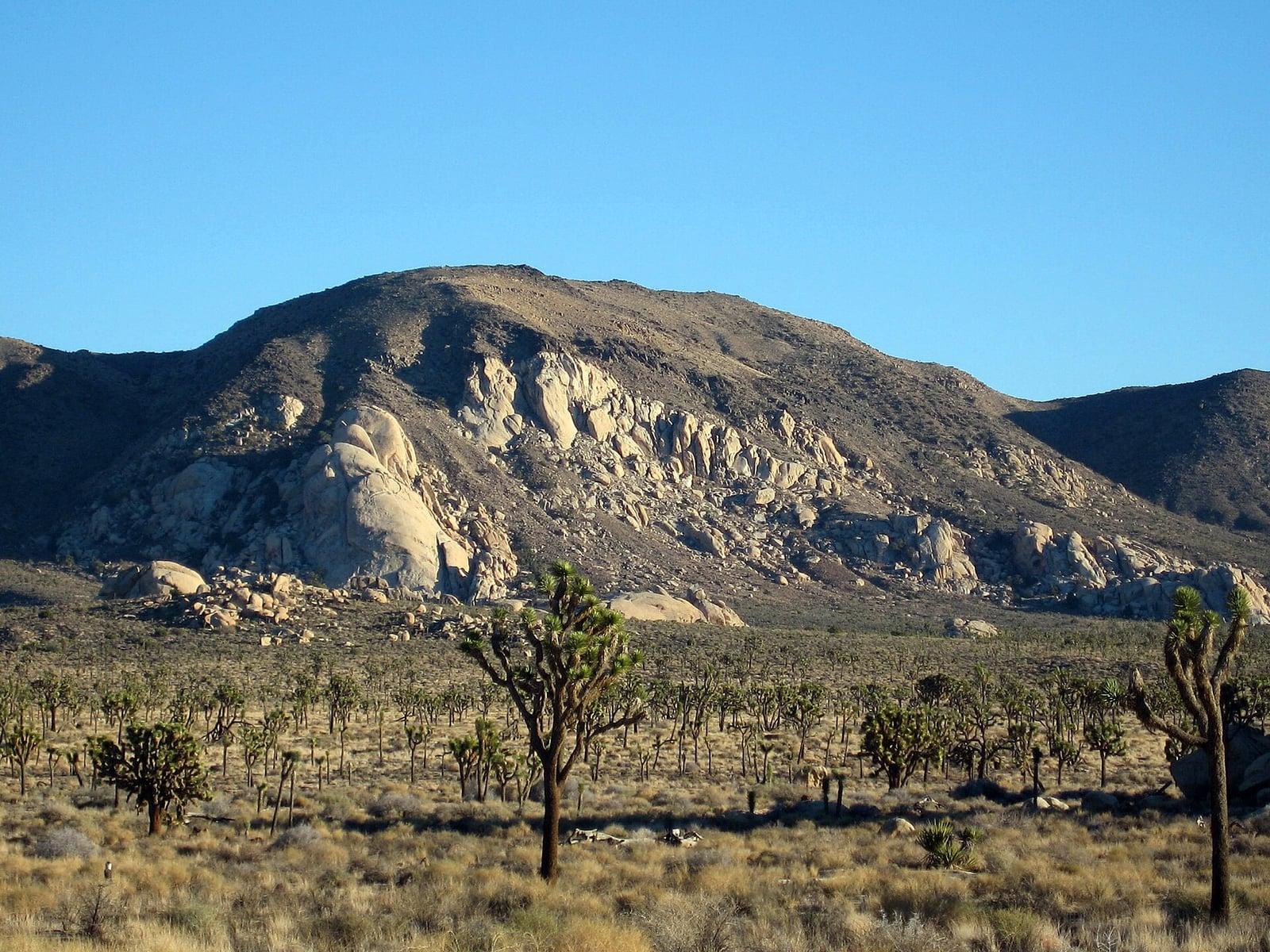
Joshua Tree National Park
A signed summit trail in Joshua Tree National Park, climbing from Park Boulevard to Ryan Mountain.
Robb Hannawacker / National Park Service · Public domain. Source & image licence

Santa Monica Mountains National Recreation Area
The highest point in the Santa Monica Mountains, climbed from the Mishe Mokwa trailhead along the Backbone Trail at Circle X Ranch.
Wasquewhat · CC BY-SA 4.0. Source & image licence

Angeles National Forest
A 50-foot single drop into a shallow plunge pool, 1.7 mi up Big Santa Anita Canyon. Shaded the entire way in. The work is all on the walk out.
U.S. Department of Agriculture / USDA USFS · CC BY 2.0. Source & image licence
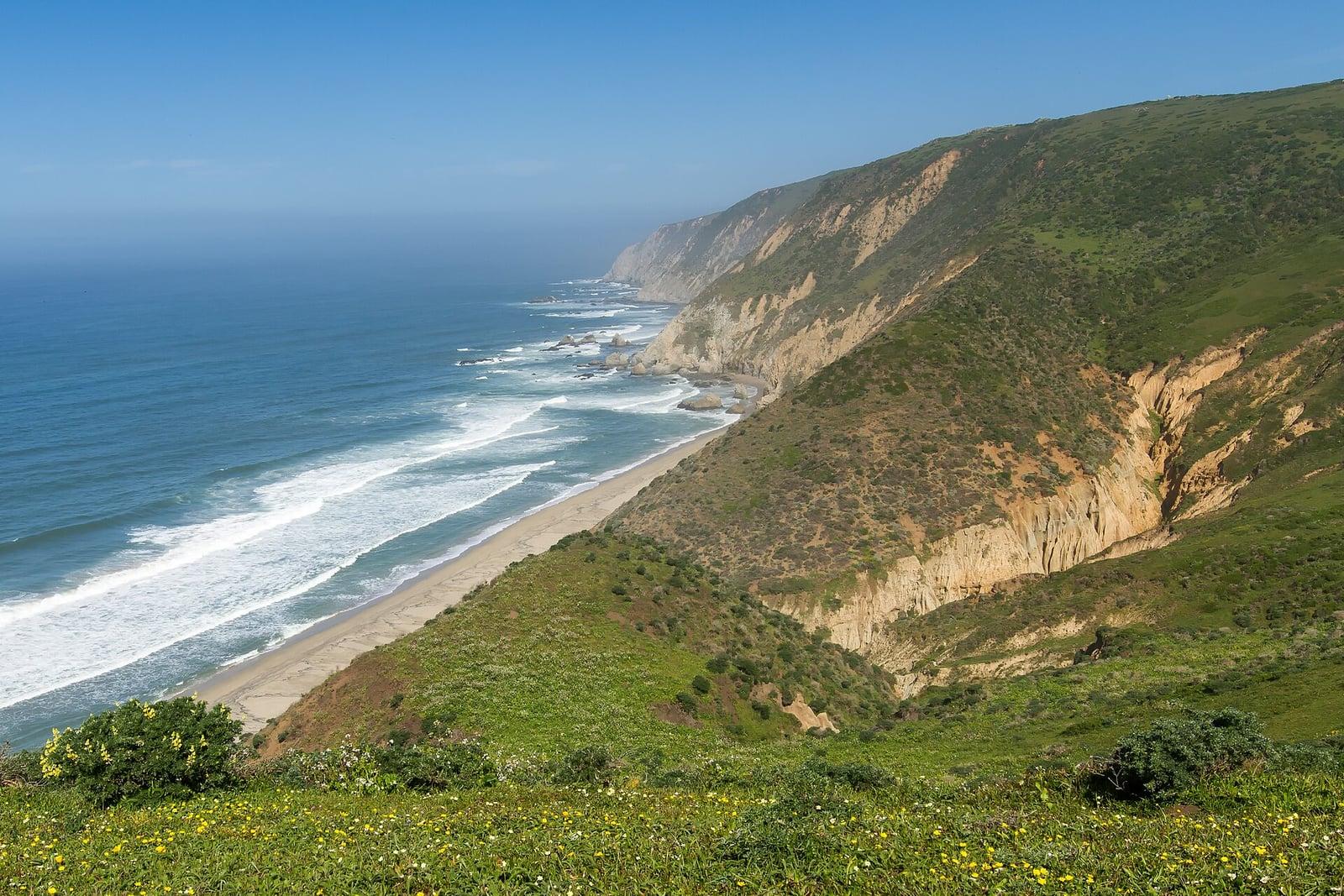
Point Reyes National Seashore
The northern tip of the Point Reyes peninsula, reached across the open bluffs of the Tomales Point Tule Elk Reserve.
Frank Schulenburg · CC BY-SA 4.0. Source & image licence
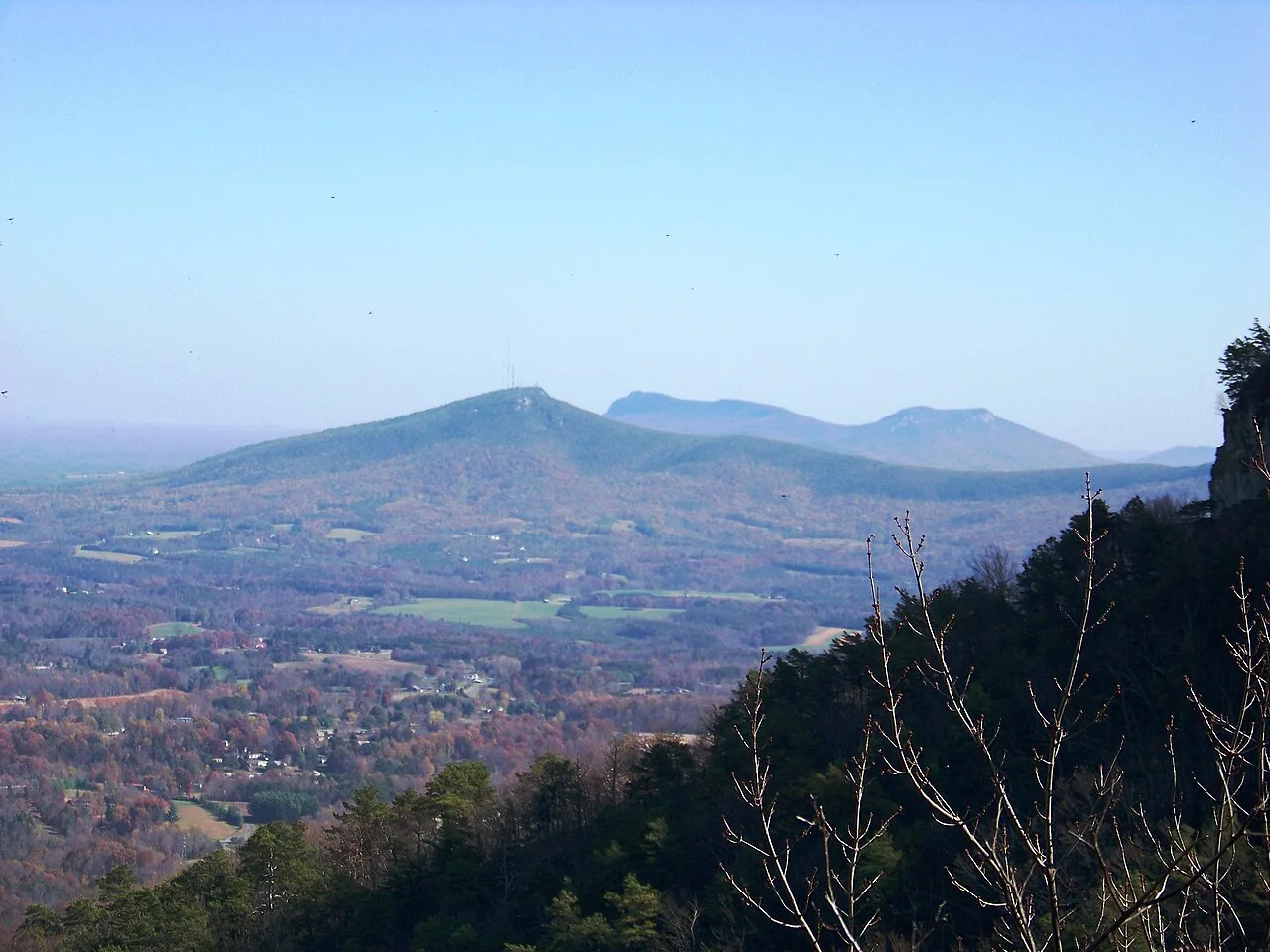
Pilot Mountain State Park · Appalachian & Blue Ridge · North Carolina
Iconic 200-foot circular quartzite monadnock knob crowned by vertical cliffs and vegetated ledges rising 1,400 feet above the Yadkin Valley.
Photo: Idawriter · CC BY-SA 3.0
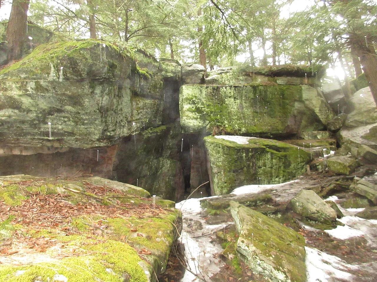
Bilger's Rocks Community Park · PA Wilds / Clearfield County · Pennsylvania
A 300-million-year-old labyrinth of 50-foot Carboniferous sandstone megaliths with squeeze-crevices, subterranean rooms, and cold caves.
Photo: VitaleBaby · Public domain
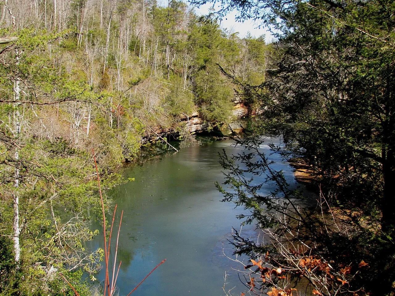
Radnor Lake State Natural Area (Nashville) · Appalachian & Blue Ridge · Tennessee
1,368-acre protected Class II Natural Area sanctuary of car-free lakeside boardwalks, bald eagle observation decks, and steep Overton Hills ridges.
Photo: Brian Stansberry · CC BY 3.0
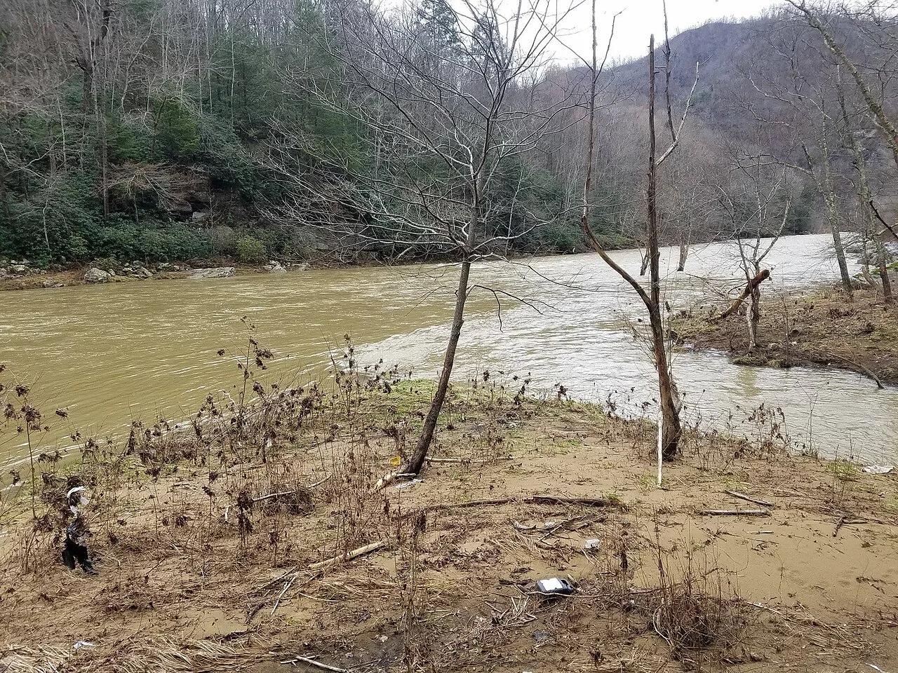
Breaks Interstate Park · Appalachian & Blue Ridge · Virginia
5-mile, 1,600-foot-deep sandstone gorge where the Russell Fork River cuts a horseshoe around the 1,000-foot Pyramid Rock towers.
Photo: Bpluke01 · CC BY-SA 4.0
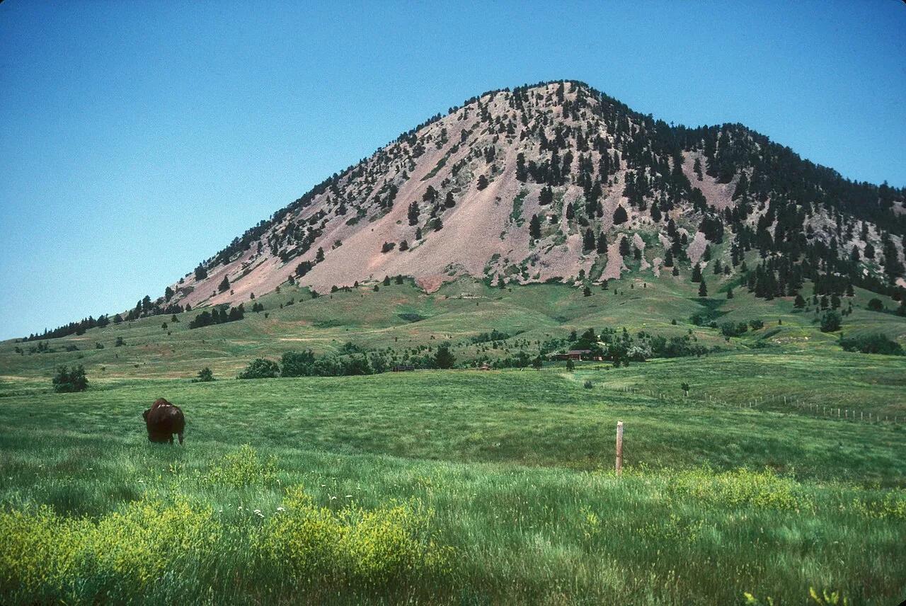
Bear Butte State Park (Sturgis) · Northern Black Hills · South Dakota
Sacred Lakota and Cheyenne volcanic laccolith rising 1,253 feet solitary above the surrounding Great Plains, adorned with prayer cloths.
Photo: JERRYE & ROY KLOTZ MD · CC BY-SA 3.0
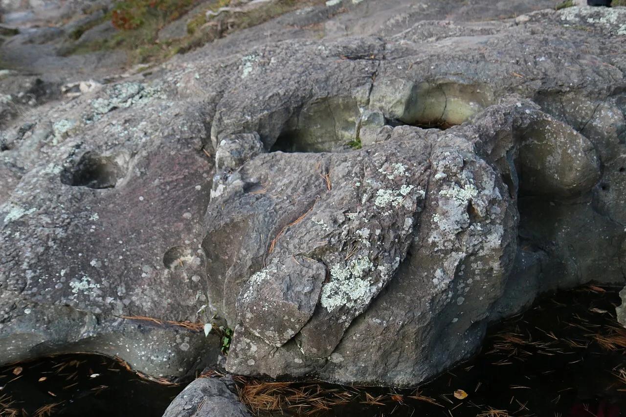
Interstate State Park (Wisconsin) · St. Croix Valley · Wisconsin
Towering columnar basalt Palisades overlooking the St. Croix River gorge, riddled with world-famous swirling glacial potholes ground out by ice age torrents.
Photo: Royalbroil · CC BY-SA 4.0
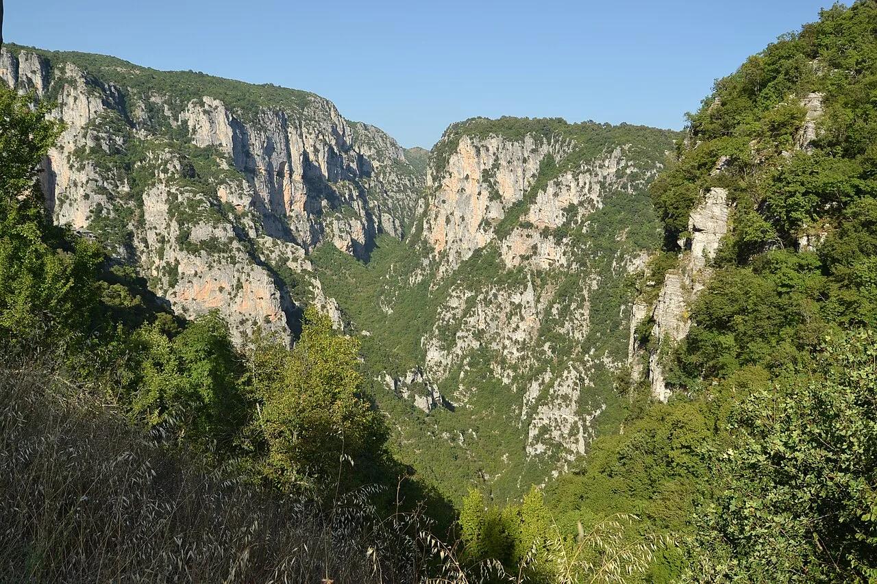
Vikos-Aoös National Park (Pindus Mountains) · Mediterranean Europe · Greece
The world's deepest gorge relative to its width, spanning 1,000-meter limestone walls above the ice-blue Voidomatis River and stone arch bridges.
Photo: Pudelek · CC BY-SA 4.0
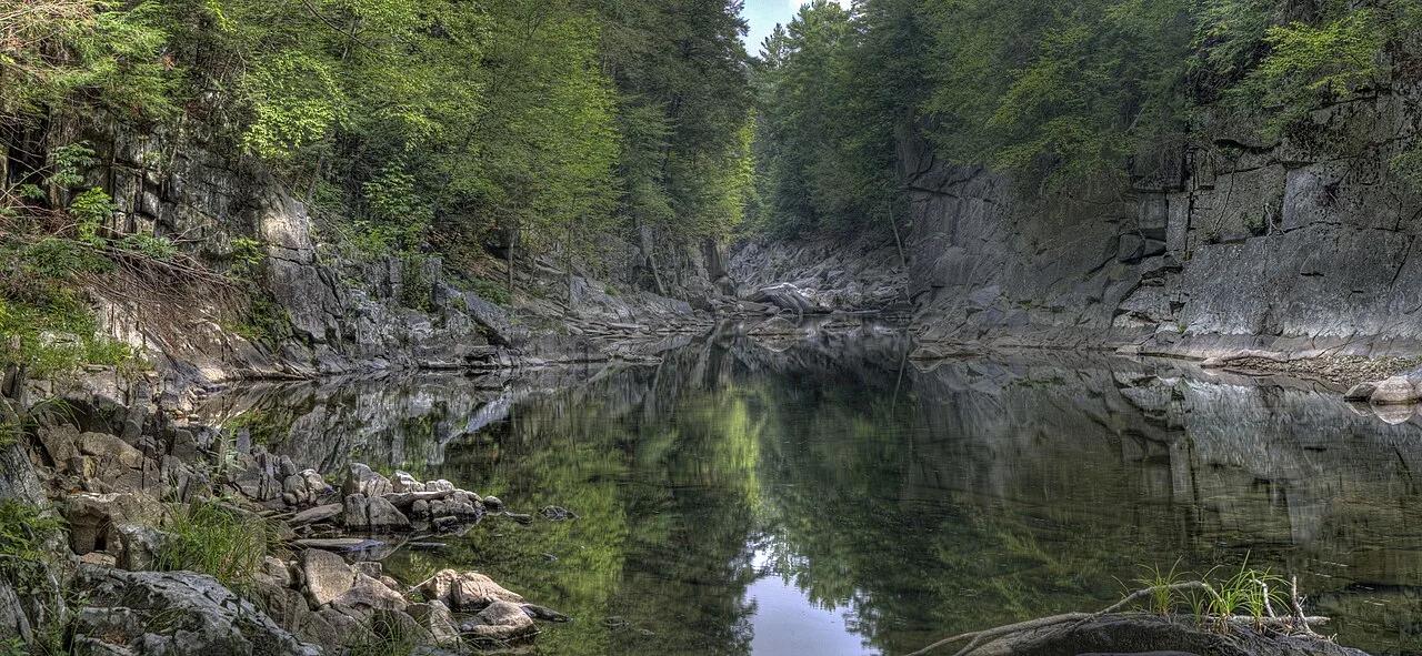
The Trustees of Reservations (Chesterfield Gorge) · Berkshires · Massachusetts
Thirty-foot sheer metamorphic granite canyon walls carved by the East Branch of the Westfield River, Massachusetts's first National Wild and Scenic River.
Photo: Tom Walsh · CC BY-SA 3.0
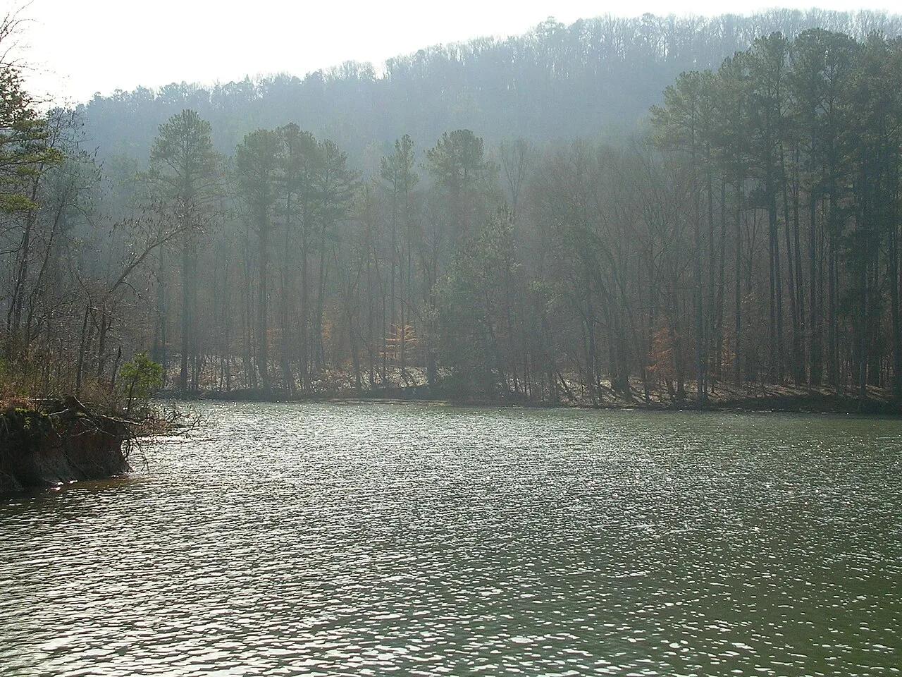
Buck's Pocket State Park (Sand Mountain) · Appalachian & Blue Ridge · Alabama
800-foot sheer sandstone pocket canyon carved into the edge of Sand Mountain overlooking Little Sauty Creek and Lake Guntersville.
Photo: benuski from Richmond, VA, USA · CC BY-SA 2.0
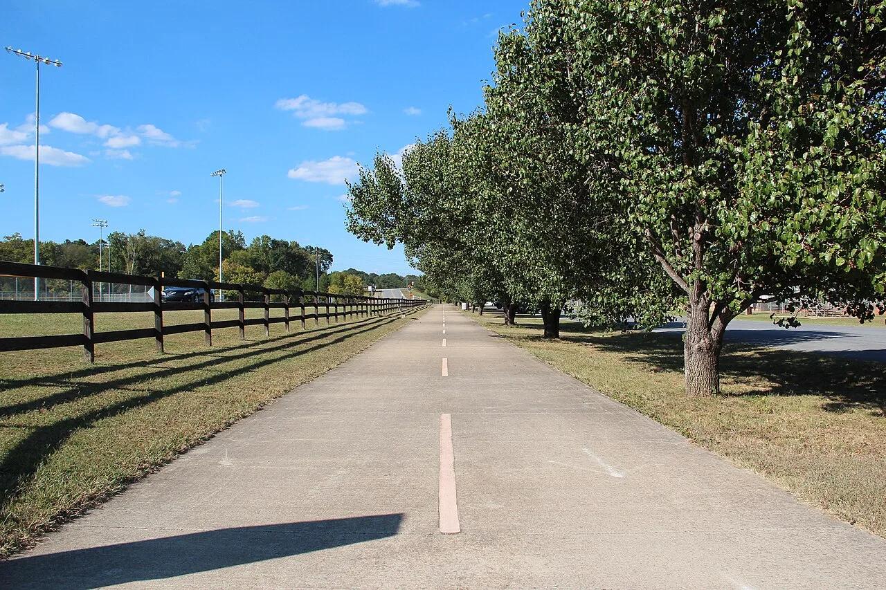
Silver Comet Linear Park (Dallas to Cedartown) · Appalachian & Blue Ridge · Georgia
61.5-mile car-free paved rail-trail soaring 126 feet above Pumpkinvine Creek on a 750-foot historic steel trestle and cutting through the 800-foot Brushy Mountain Tunnel.
Photo: Thomson200 · Public domain
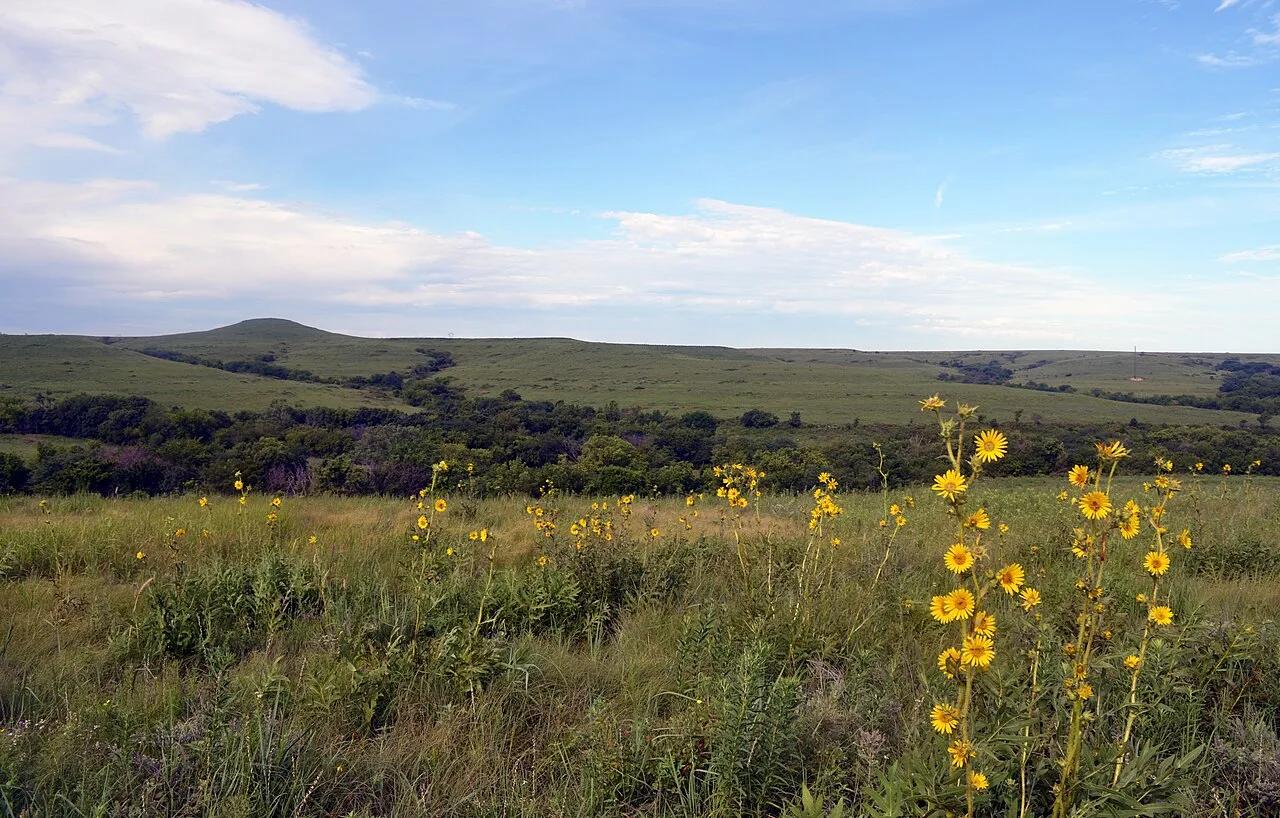
Tallgrass Prairie National Preserve (Strong City) · Great Plains & Heartland · Kansas
Rolling Flint Hills limestone ledges and 8-foot big bluestem grass supporting a free-roaming herd of Wind Cave genetic-line American bison.
Photo: U.S. Fish and Wildlife Service - Midwest Region · Public domain
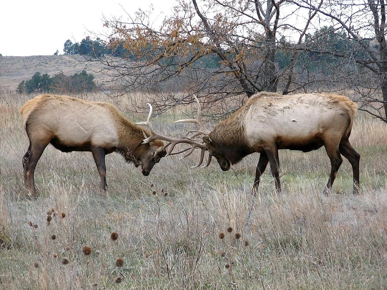
Fort Niobrara National Wildlife Refuge (Valentine) · Great Plains & Heartland · Nebraska
Spring-fed canyon waterfall and easy 9-mile scenic river float past Brule clay cliffs, ponderosa pines, and paper birches.
Photo: U.S. Fish and Wildlife Service Headquarters · Public domain
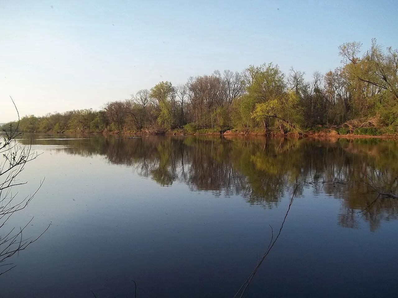
D&R Canal State Park (Princeton to Frenchtown) · Northeast & New England · New Jersey
70-mile crushed-stone linear park bikeway and flatwater canoe canal tracing historic 1830s stone locktender houses.
Photo: Gary Miotla · CC BY 3.0
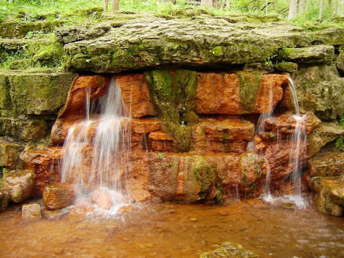
Glen Helen Nature Preserve & John Bryan State Park · Midwest & Great Lakes · Ohio
Iron-rich orange travertine spring mound, Talus Trail limestone cliffs, and Little Miami Scenic Bikeway through a 1,000-acre gorge.
Photo: Ilona Loser · CC BY-SA 3.0
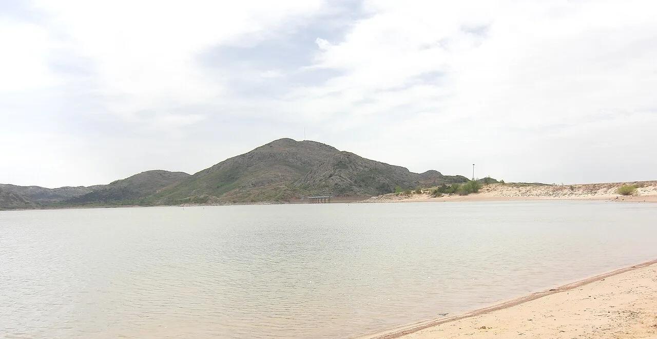
Quartz Mountain State Park (Lone Wolf) · Great Plains & Heartland · Oklahoma
500-million-year-old Cambrian pink granite dome rising above southwestern Oklahoma plains and the sparkling waters of Lake Altus-Lugert.
Photo: Geotechnogeek · CC BY-SA 3.0
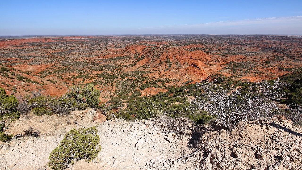
Caprock Canyons State Park · Texas Panhandle · Texas
Challenging climb along the high red sandstone escarpment overlooking the canyon rim, home to the official Texas State Bison Herd and secluded Fern Cave.
Photo: Larry D. Moore · CC BY 4.0
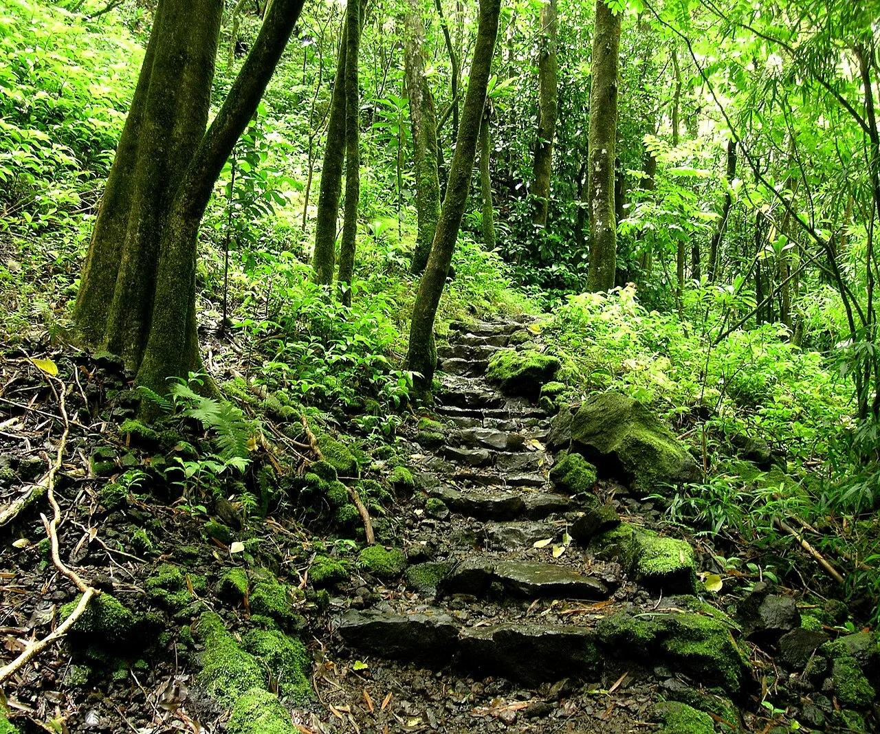
Haleakalā National Park (Kīpahulu District, Maui) · Hawaiian Islands · Hawaii
Boardwalk through a singing giant bamboo forest above Ohe'o Gulch to the 400-foot sheer lava cliff of Waimoku Falls.
Photo: Angela Sevin from SF Bay Area, US · CC BY 2.0
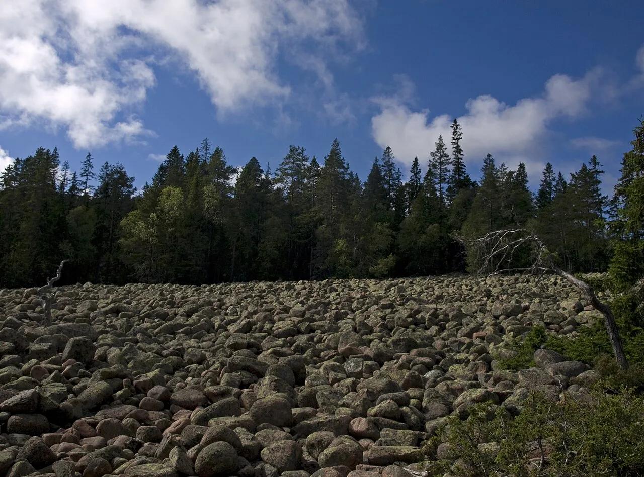
Skuleskogen National Park (Höga Kusten UNESCO) · Nordic & Arctic · Sweden
200-meter-long, 30-meter-deep red Nordingrå granite fissure sliced through the world's fastest post-glacial rebounding coastline.
Photo: Ymblanter · CC BY-SA 4.0
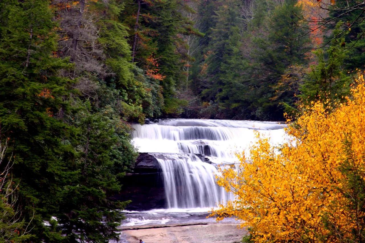
DuPont State Recreational Forest · Appalachian & Blue Ridge · North Carolina
Three major waterfalls along the Little River within three miles—a 125-foot three-step cascade, a 120-foot granite slide, and a wide swimming basin.
Photo: Gary Stevens from Asheville NC · CC BY 2.0