Peak
Denver area · Denver Front Range · Colorado
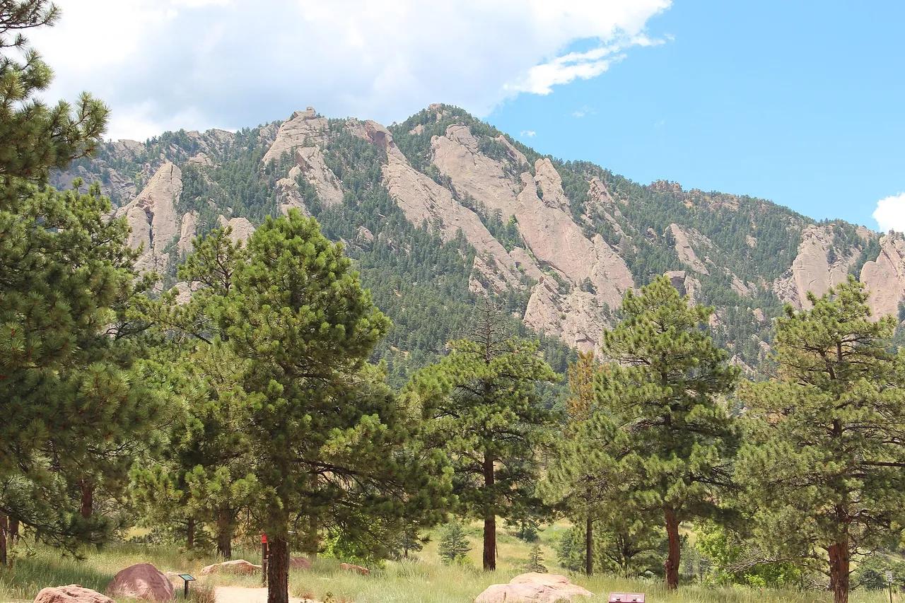
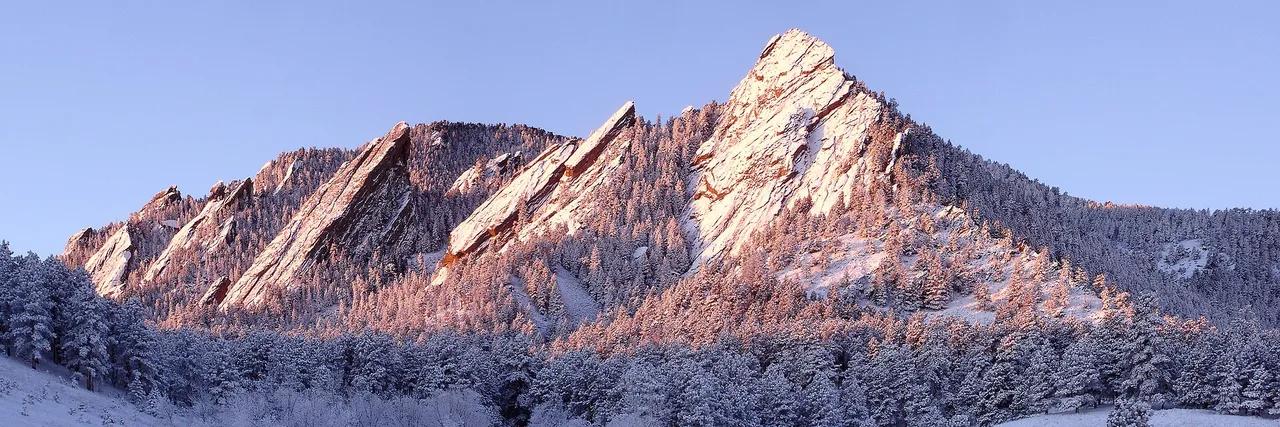
The Flatirons
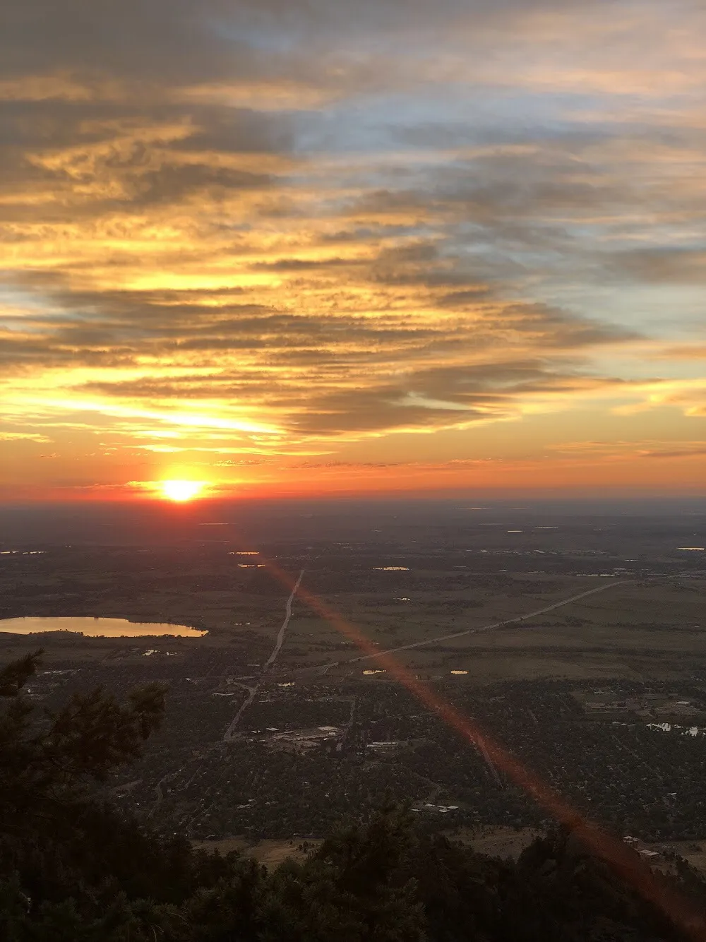
Hilltop about 23 miles northwest of downtown Denver, 7,156 ft above sea level. Hike to the top for the view.
- Elevation
- 7,156 ft
Browse & Discover
Overlooks, natural arches, sea caves, groves and wildlife reserves.
1,093 of 2,051 places
Drag to pan. Double-click, pinch or scroll to zoom. Keyboard: arrow keys and +/−. Cards below remain available.
Loading map… Browse the spot cards below at any time.

Joshua Tree National Park
A granite arch in the White Tank monzogranite, reached by a short sandy trail from the Twin Tanks parking area.
John D. from Pasadena, USA · CC BY 2.0. Source & image licence

Russian Ridge Open Space Preserve
The highest named summit in San Mateo County, an open grassland top on Russian Ridge with views from the ocean to the Bay.
Justin Dolske from Cupertino, USA · CC BY-SA 2.0. Source & image licence

Eaton Canyon Natural Area
The waterfall at the head of lower Eaton Canyon, reached by a wide wash walk from the Eaton Canyon Nature Center and a final creekside scramble.
[scott.medling or en:user:scott.medling user:scott.medling from California, United States] · CC BY-SA 2.0. Source & image licence

Angeles National Forest
The ruined mountain resort of the Mount Lowe Railway, on a front-range promontory above Altadena at the top of the Lower Sam Merrill Trail.
Lennonrodgers at en.wikipedia · Public domain. Source & image licence

Escondido Canyon Park
A multi-tiered waterfall in Escondido Canyon above Malibu. The maintained trail ends at the base of the mossy lower tier.
Santa Monica Mountains National Recreation Area · Public domain. Source & image licence

Inyo National Forest
A chain of small alpine lakes at the head of Little Lakes Valley in the John Muir Wilderness, below the 13,000-foot peaks of the Bear Creek Spire cirque.
Jane S. Richardson (talk · contribs) · CC BY-SA 3.0. Source & image licence

Angeles National Forest
A high saddle and five-way trail junction on the Cucamonga Wilderness ridge, at the top of the steady climb up Icehouse Canyon.
Jason Hollinger · CC BY 2.0. Source & image licence

Mount Tamalpais Watershed
A winter-and-spring cascade on Cataract Creek just below the Laurel Dell picnic area, reached downhill along the Cataract Trail from Rock Spring.
Richard Wood · CC BY-SA 3.0. Source & image licence

Joshua Tree National Park
One of the best-preserved stamp mills in Joshua Tree National Park, at the site of the Lost Horse gold mine.
Joseph from Cabin On The Road, USA · CC BY-SA 2.0. Source & image licence

Angeles National Forest
A waterfall of about fifty feet filling the head of a narrow, shaded canyon, a short walk upstream from Millard Campground.
Region 5 Photography · Public domain. Source & image licence

Mission Peak Regional Preserve
The bare grassland summit above Fremont, marked by the Mission Peeker sighting pole and climbed by the Hidden Valley Trail from Stanford Avenue.
Oleg Alexandrov · CC BY-SA 3.0. Source & image licence

Angeles National Forest
The highest summit of the San Gabriel Mountains, reached from Baldy Notch along the exposed Devils Backbone ridge.
Darkest tree · CC BY-SA 4.0. Source & image licence

Mount Tamalpais State Park
The summit of Mount Tamalpais, a short plank-and-rock climb from the East Peak visitor area to the fire lookout above the whole Bay Area.
Chris Koerner from St. Louis, USA · CC BY-SA 2.0. Source & image licence

Inyo National Forest
A quiet lake in the Ansel Adams Wilderness beneath Parker Peak, reached through sage and an aspen-lined creek canyon off the June Lake Loop.
Mark Gunn from Novato, California, USA · CC BY 2.0. Source & image licence

Pfeiffer Big Sur State Park
A 60-foot waterfall on Pfeiffer-Redwood Creek, reached through the redwoods of Pfeiffer Big Sur State Park on a trail twice rebuilt — after the 2008 Basin Complex Fire and again after 2023 storm damage.
Joe Mabel · CC BY-SA 4.0. Source & image licence
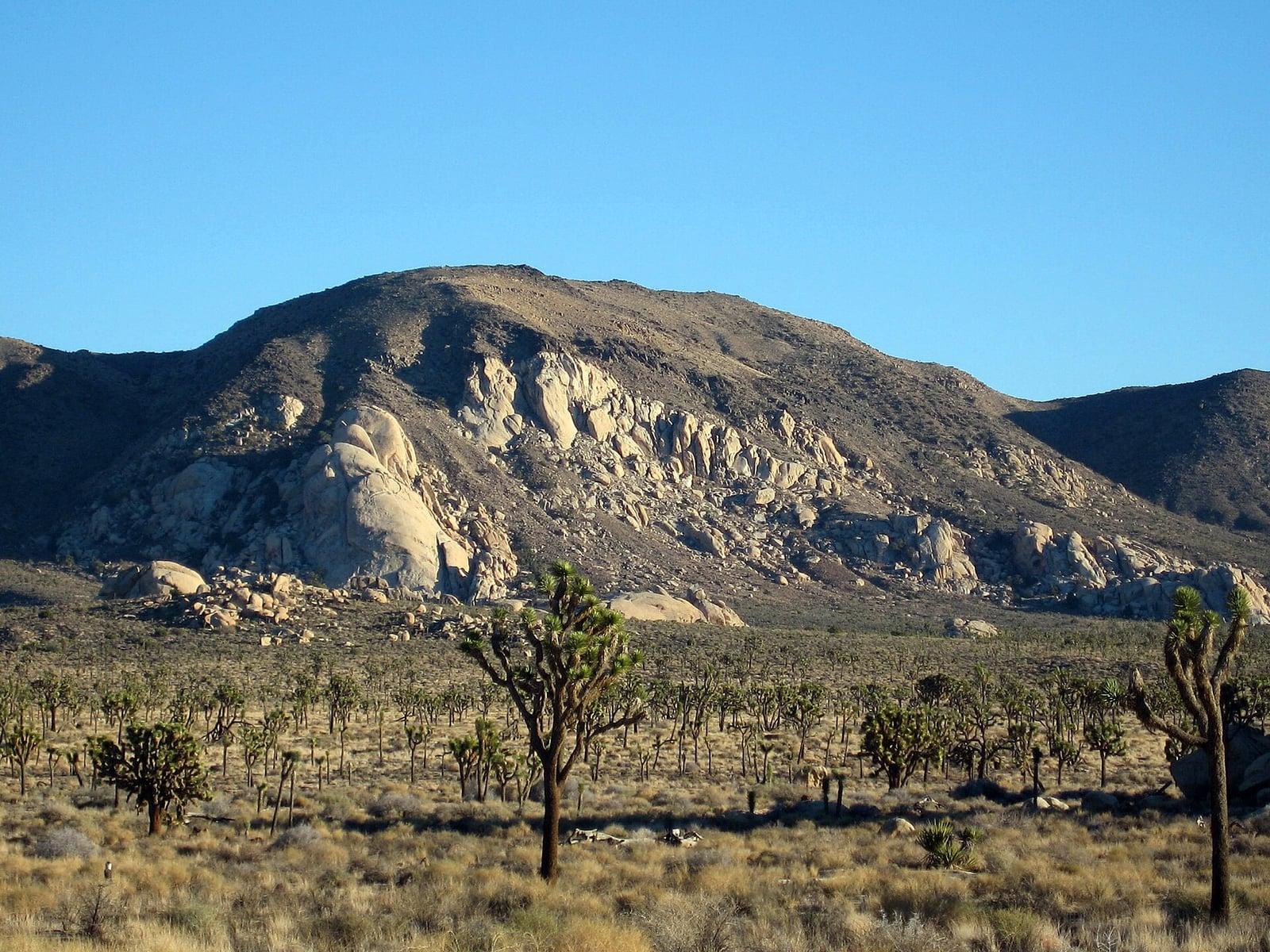
Joshua Tree National Park
A signed summit trail in Joshua Tree National Park, climbing from Park Boulevard to Ryan Mountain.
Robb Hannawacker / National Park Service · Public domain. Source & image licence

Santa Monica Mountains National Recreation Area
The highest point in the Santa Monica Mountains, climbed from the Mishe Mokwa trailhead along the Backbone Trail at Circle X Ranch.
Wasquewhat · CC BY-SA 4.0. Source & image licence

Angeles National Forest
A 50-foot single drop into a shallow plunge pool, 1.7 mi up Big Santa Anita Canyon. Shaded the entire way in. The work is all on the walk out.
U.S. Department of Agriculture / USDA USFS · CC BY 2.0. Source & image licence
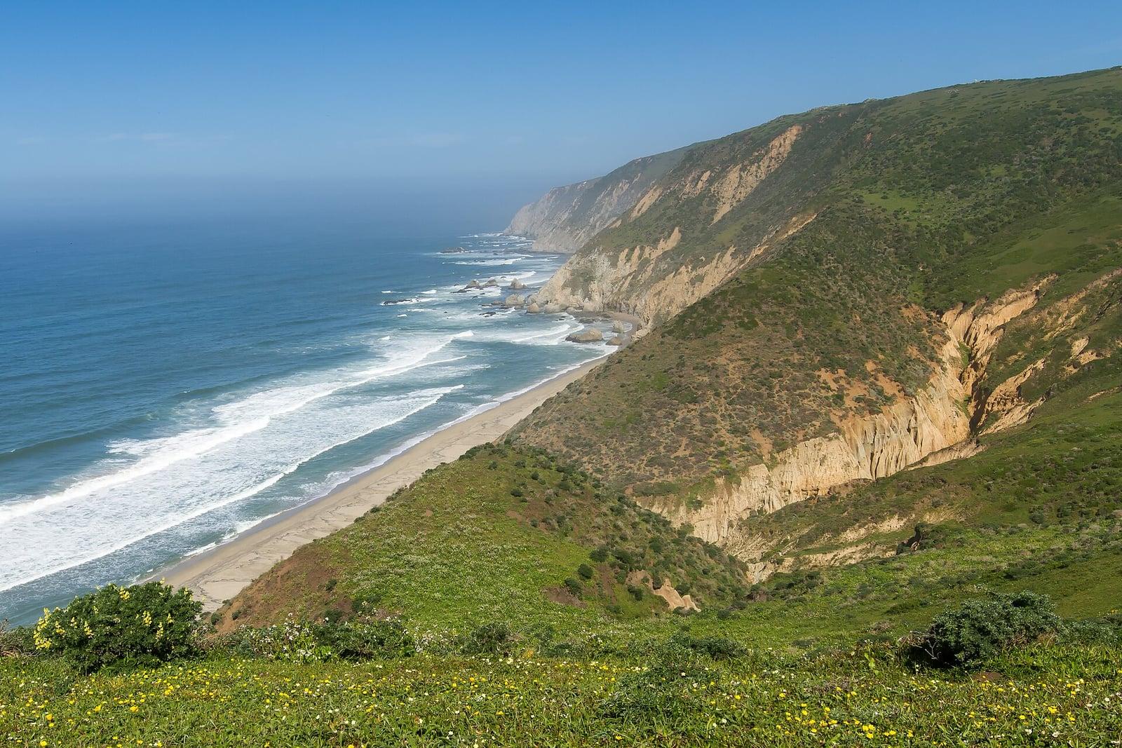
Point Reyes National Seashore
The northern tip of the Point Reyes peninsula, reached across the open bluffs of the Tomales Point Tule Elk Reserve.
Frank Schulenburg · CC BY-SA 4.0. Source & image licence
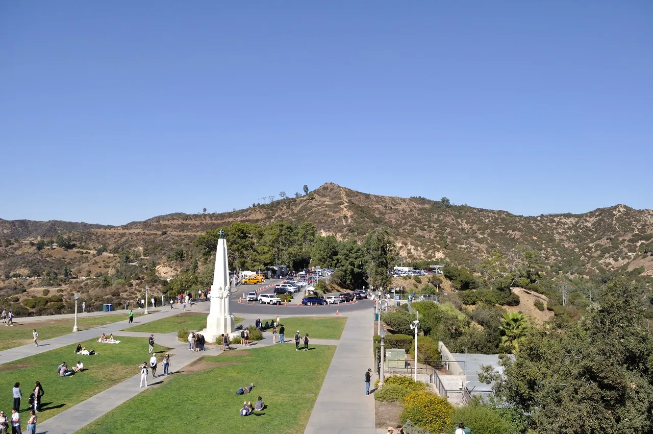
Griffith Park · Santa Monica Mountains
Hilltop in Griffith Park (Santa Monica Mountains), about 7 miles northwest of downtown Los Angeles. Typical outing is 5.0 miles with 1,050 ft of climb. Popular with local hikers and Los Angeles hiking Meetup groups.
Photo: The Fun Chronicles · Public domain
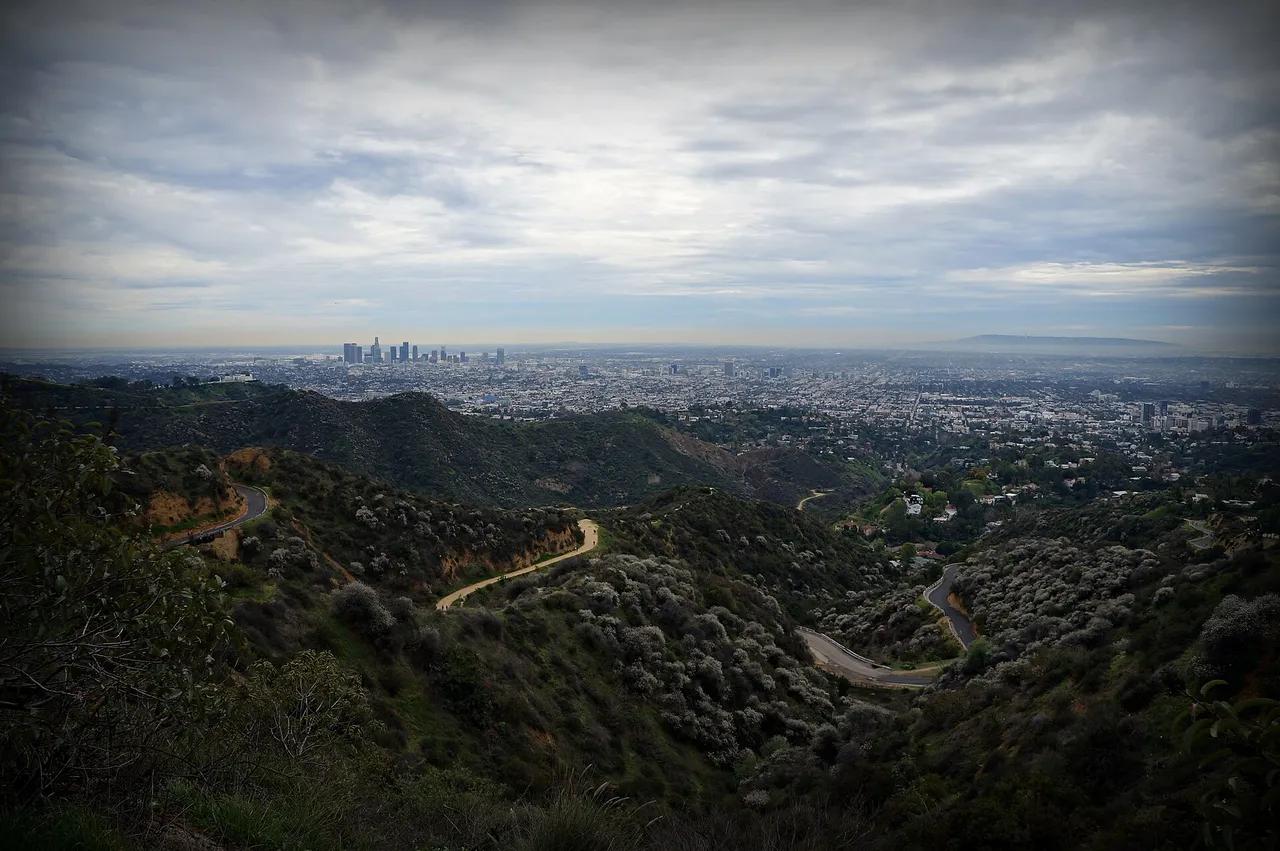
Griffith Park · Santa Monica Mountains
Hilltop in Griffith Park (Santa Monica Mountains), about 7 miles northwest of downtown Los Angeles. Typical outing is 6.0 miles with 1,120 ft of climb. Popular with local hikers and Los Angeles hiking Meetup groups.
Photo: James Gubera · CC BY 2.0
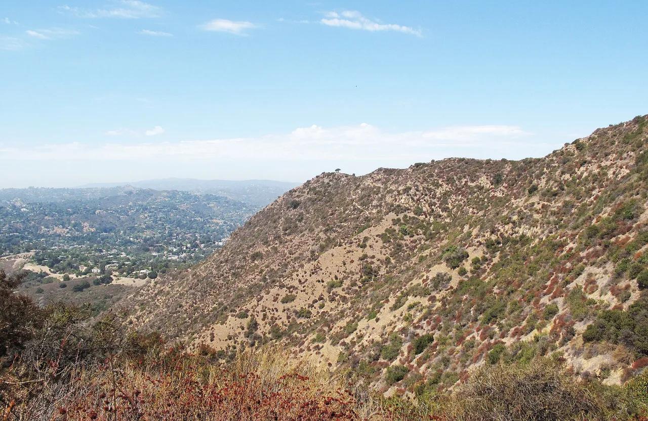
Griffith Park · Santa Monica Mountains
Hilltop in Griffith Park (Santa Monica Mountains), about 8 miles northwest of downtown Los Angeles. Typical outing is 3.0 miles with 870 ft of climb. Popular with local hikers and Los Angeles hiking Meetup groups.
Photo: Downtowngal · CC BY-SA 3.0
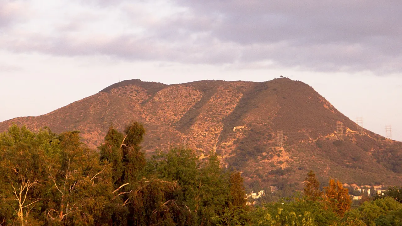
Griffith Park · Santa Monica Mountains
Hilltop in Griffith Park (Santa Monica Mountains), about 7 miles northwest of downtown Los Angeles. Typical outing is 3.6 miles with 1,020 ft of climb. Popular with local hikers and Los Angeles hiking Meetup groups.
Photo: Junkyardsparkle · Public domain
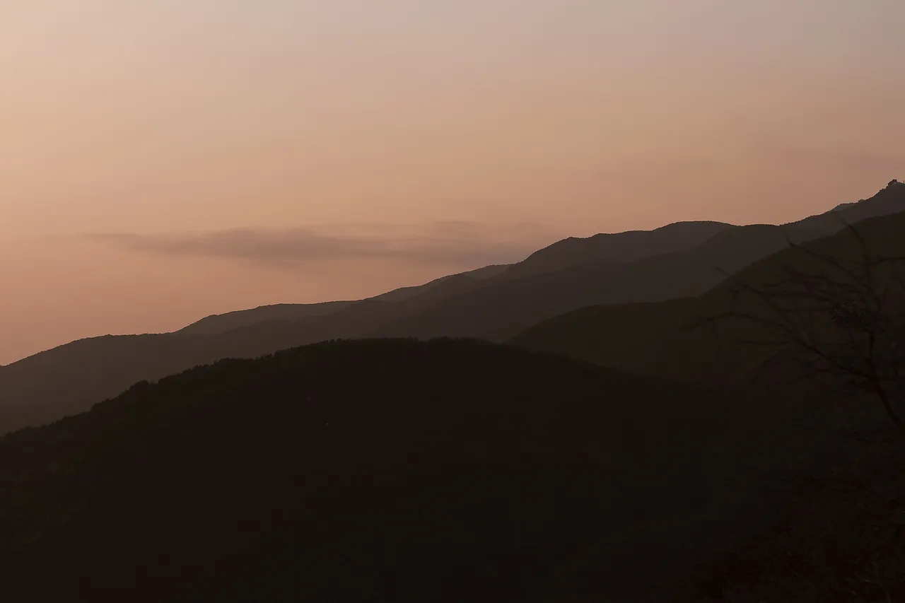
Topanga State Park · Santa Monica Mountains
Viewpoint in Topanga State Park (Santa Monica Mountains), about 18 miles west of downtown Los Angeles. Typical outing is 7.2 miles with 1,350 ft of climb. Popular with local hikers and Los Angeles hiking Meetup groups.
Photo: Santa Monica Mountains National Recreation Area · Public domain
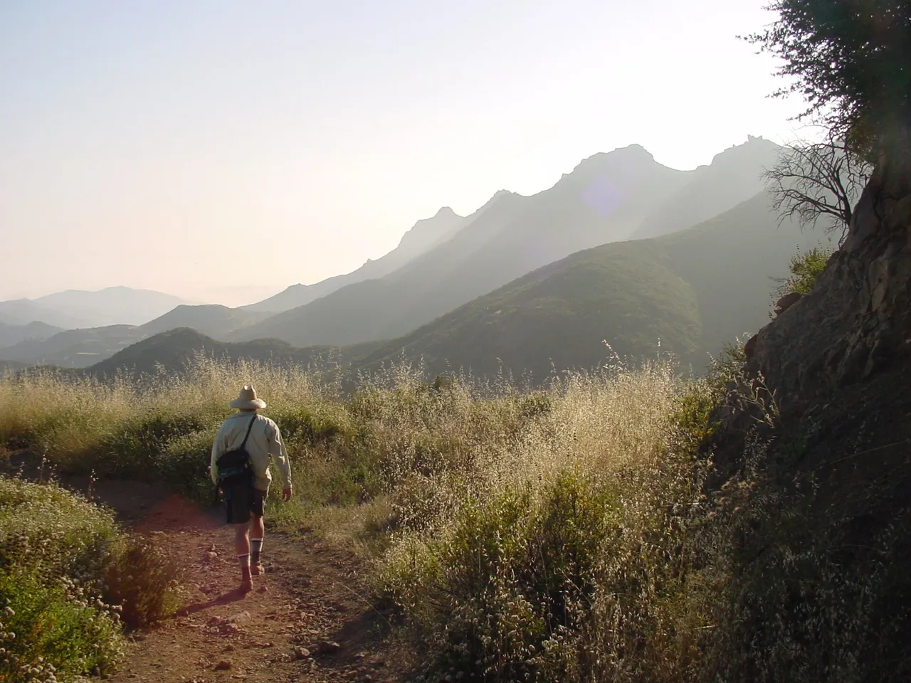
Escondido Canyon Park · Santa Monica Mountains
A multi-tiered waterfall in Escondido Canyon above Malibu. The maintained trail ends at the base of the mossy lower tier.
Photo: Santa Monica Mountains National Recreation Area · Public domain
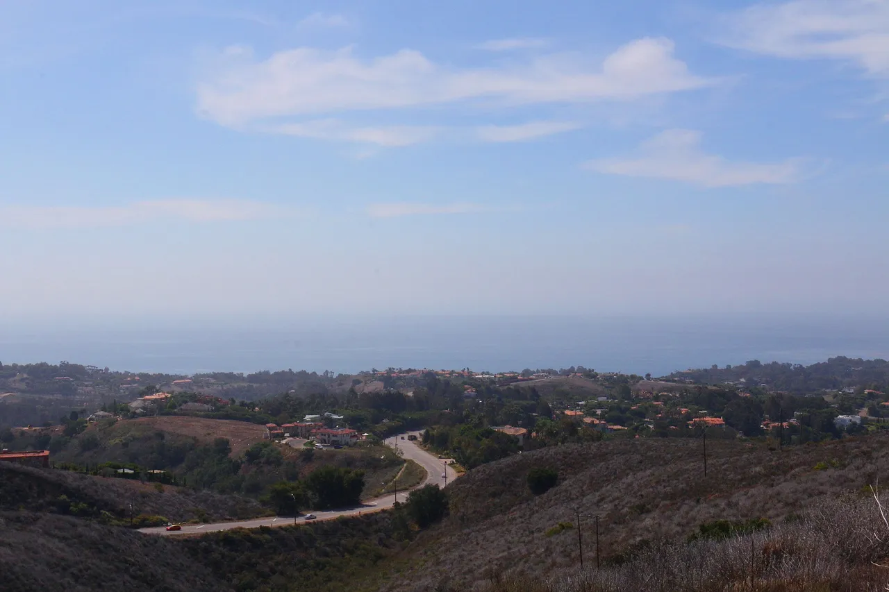
Santa Monica Mountains National Recreation Area · Santa Monica Mountains
Nature preserve in Santa Monica Mountains National Recreation Area (Santa Monica Mountains), about 33 miles west of downtown Los Angeles. Typical outing is 5.6 miles with 940 ft of climb. Popular with local hikers and Los Angeles hiking Meetup groups.
Photo: Santa Monica Mountains National Recreation Area · Public domain
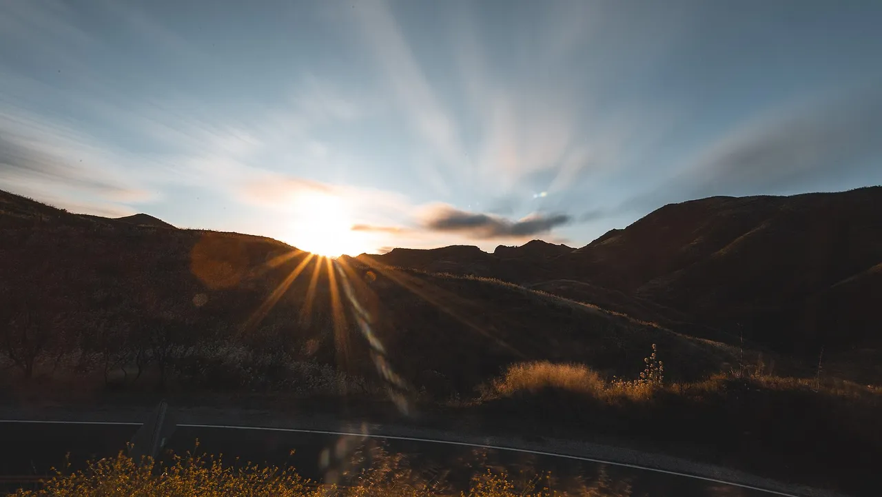
Santa Monica Mountains National Recreation Area · Santa Monica Mountains
Hilltop in Santa Monica Mountains National Recreation Area (Santa Monica Mountains), about 40 miles west of downtown Los Angeles. Typical outing is 6.1 miles with 1,075 ft of climb. Popular with local hikers and Los Angeles hiking Meetup groups.
Photo: Santa Monica Mountains National Recreation Area · Public domain
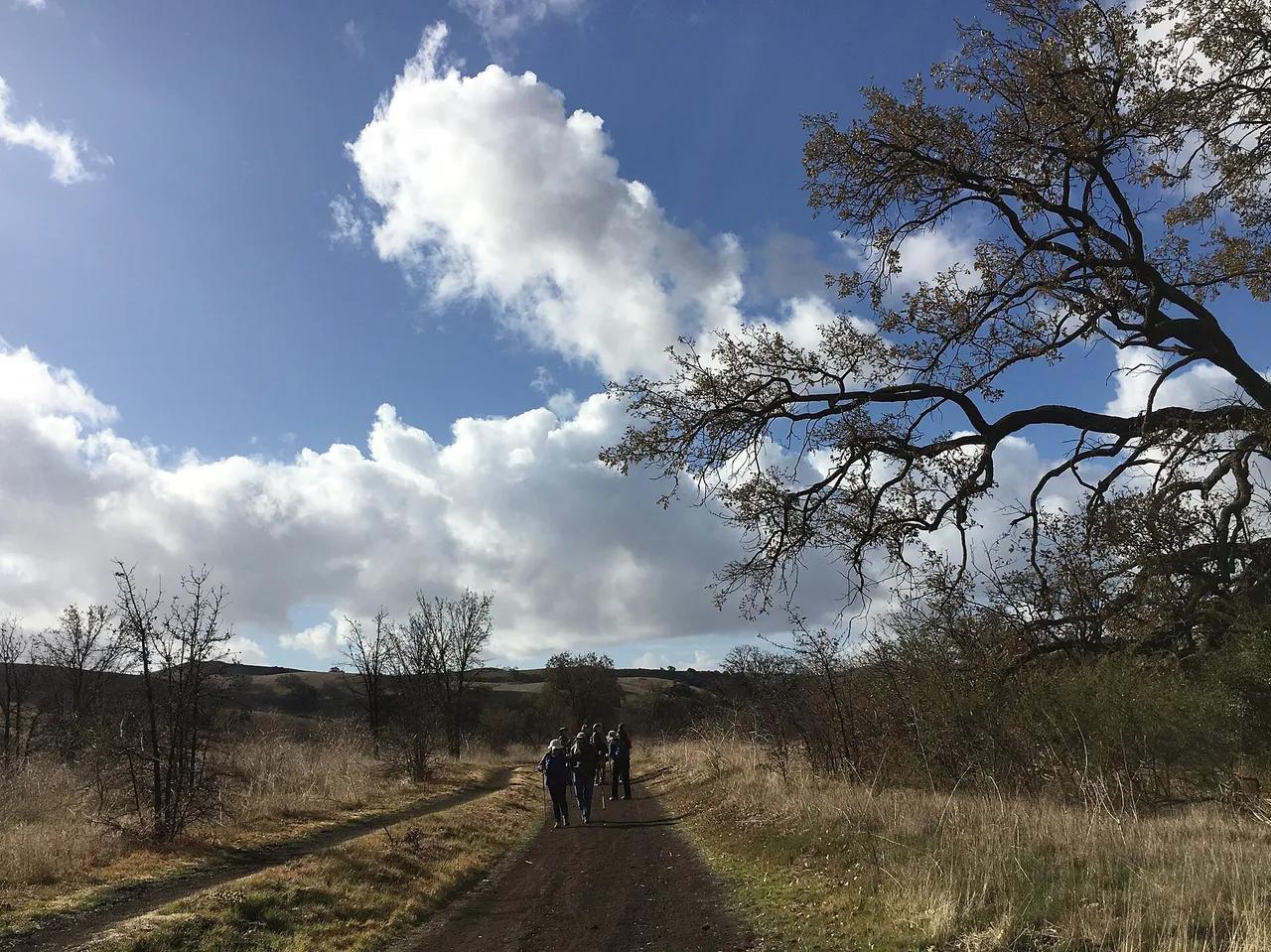
Santa Monica Mountains National Recreation Area · Santa Monica Mountains
Nature preserve in Santa Monica Mountains National Recreation Area (Santa Monica Mountains), about 29 miles west of downtown Los Angeles. Typical outing is 4.6 miles with 540 ft of climb. Popular with local hikers and Los Angeles hiking Meetup groups.
Photo: Santa Monica Mountains National Recreation Area · Public domain
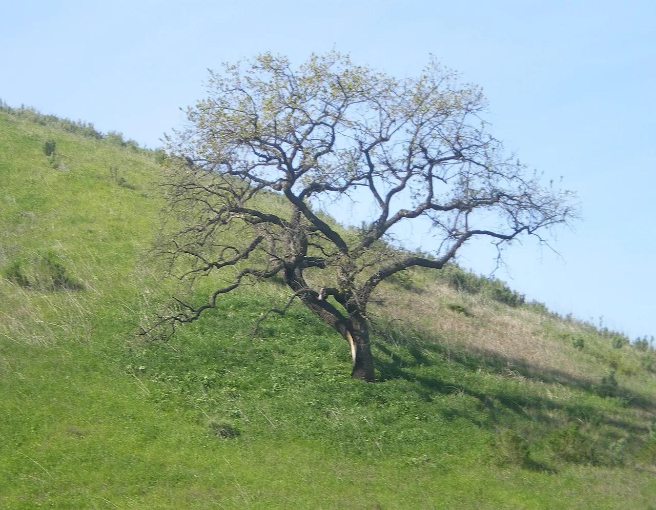
Upper Las Virgenes Canyon Open Space Preserve · Santa Monica Mountains
Nature preserve in Upper Las Virgenes Canyon Open Space Preserve (Santa Monica Mountains), about 28 miles west of downtown Los Angeles. Typical outing is 4.5 miles with 520 ft of climb. Popular with local hikers and Los Angeles hiking Meetup groups.
Photo: Cbl62 (talk) · CC BY-SA 3.0
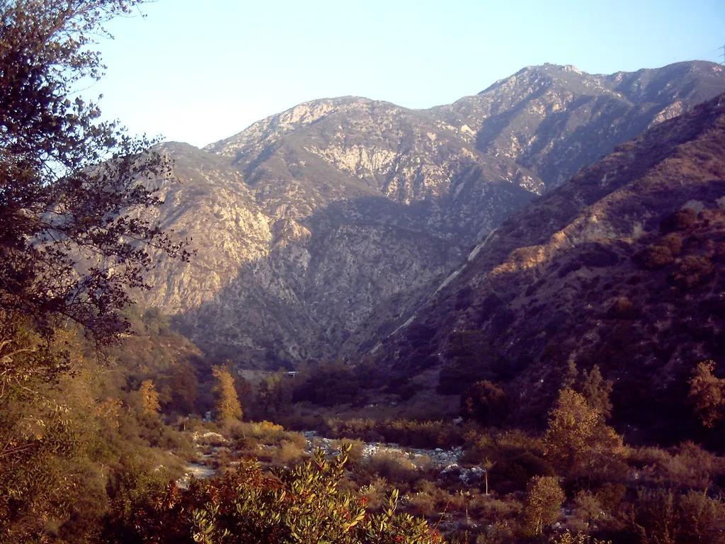
Eaton Canyon Natural Area · San Gabriel Mountains
Waterfall in Eaton Canyon Natural Area (San Gabriel Mountains), about 12 miles northeast of downtown Los Angeles. Typical outing is 3.5 miles with 380 ft of climb. Popular with local hikers and Los Angeles hiking Meetup groups.
Photo: D Sneiders from Temple City, USA · CC BY-SA 2.0
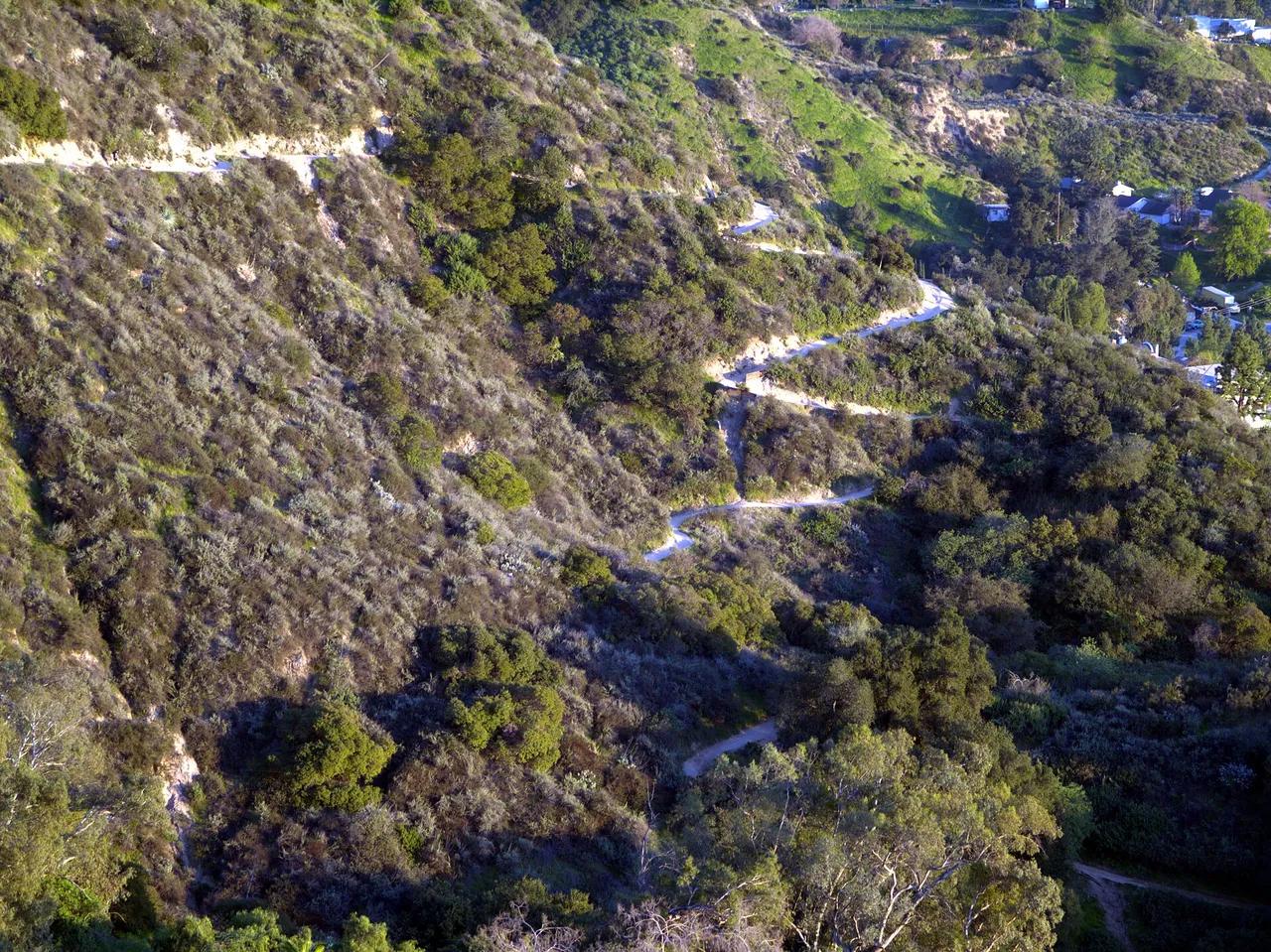
Angeles National Forest · San Gabriel Mountains
Viewpoint in Angeles National Forest (San Gabriel Mountains), about 13 miles northeast of downtown Los Angeles. Typical outing is 5.4 miles with 1,400 ft of climb. Popular with local hikers and Los Angeles hiking Meetup groups.
Photo: Weedwhacker128 · Public domain

Angeles National Forest · San Gabriel Mountains
Waterfall in Angeles National Forest (San Gabriel Mountains), about 13 miles northeast of downtown Los Angeles. Typical outing is 1.2 miles with 180 ft of climb. Popular with local hikers and Los Angeles hiking Meetup groups.
Photo: Region 5 Photography · Public domain
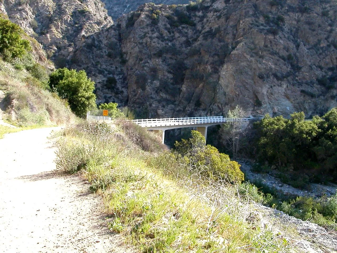
Angeles National Forest · San Gabriel Mountains
Viewpoint in Angeles National Forest (San Gabriel Mountains), about 13 miles northeast of downtown Los Angeles. Typical outing is 5.2 miles with 1,400 ft of climb. Popular with local hikers and Los Angeles hiking Meetup groups.
Photo: USMARINE0311 from California, United States · CC BY-SA 2.0
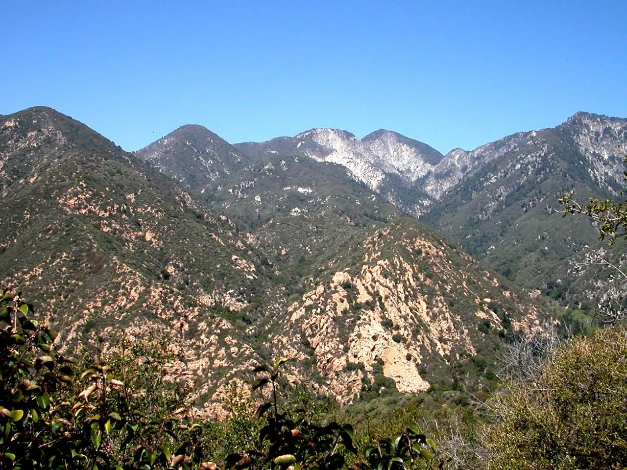
Monrovia Canyon Park · San Gabriel Mountains
Waterfall in Monrovia Canyon Park (San Gabriel Mountains), about 17 miles northeast of downtown Los Angeles. Typical outing is 2.6 miles with 540 ft of climb. Popular with local hikers and Los Angeles hiking Meetup groups.
Photo: USMARINE0311 from USA · CC BY-SA 2.0
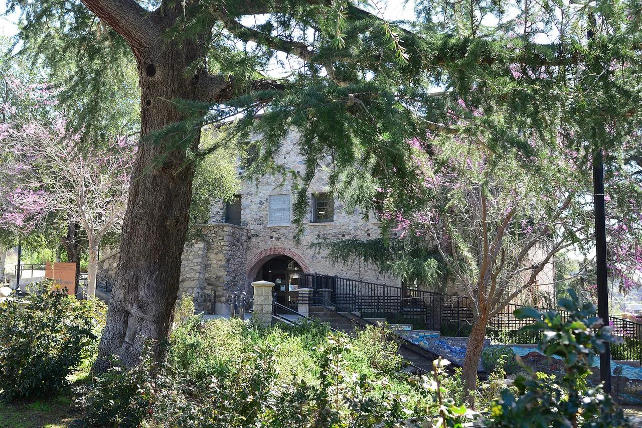
Deukmejian Wilderness Park · San Gabriel Mountains
Nature preserve in Deukmejian Wilderness Park (San Gabriel Mountains), about 13 miles north of downtown Los Angeles. Typical outing is 4.1 miles with 1,150 ft of climb. Popular with local hikers and Los Angeles hiking Meetup groups.
Photo: Joe Mabel · CC BY-SA 4.0
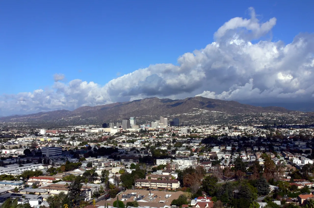
Verdugo Mountains · Greater Los Angeles
Nature preserve in Verdugo Mountains (Greater Los Angeles), about 11 miles north of downtown Los Angeles. Typical outing is 6.4 miles with 1,850 ft of climb. Popular with local hikers and Los Angeles hiking Meetup groups.
Photo: No machine-readable author provided. Mike Dillon assumed (based on copyright ... · CC BY-SA 3.0
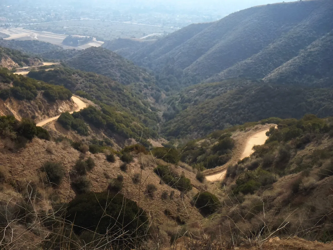
Claremont Hills Wilderness Park · San Gabriel Mountains
Nature preserve in Claremont Hills Wilderness Park (San Gabriel Mountains), about 31 miles east of downtown Los Angeles. Typical outing is 5.0 miles with 880 ft of climb. Popular with local hikers and Los Angeles hiking Meetup groups.
Photo: Brian Altmeyer · CC BY 2.0
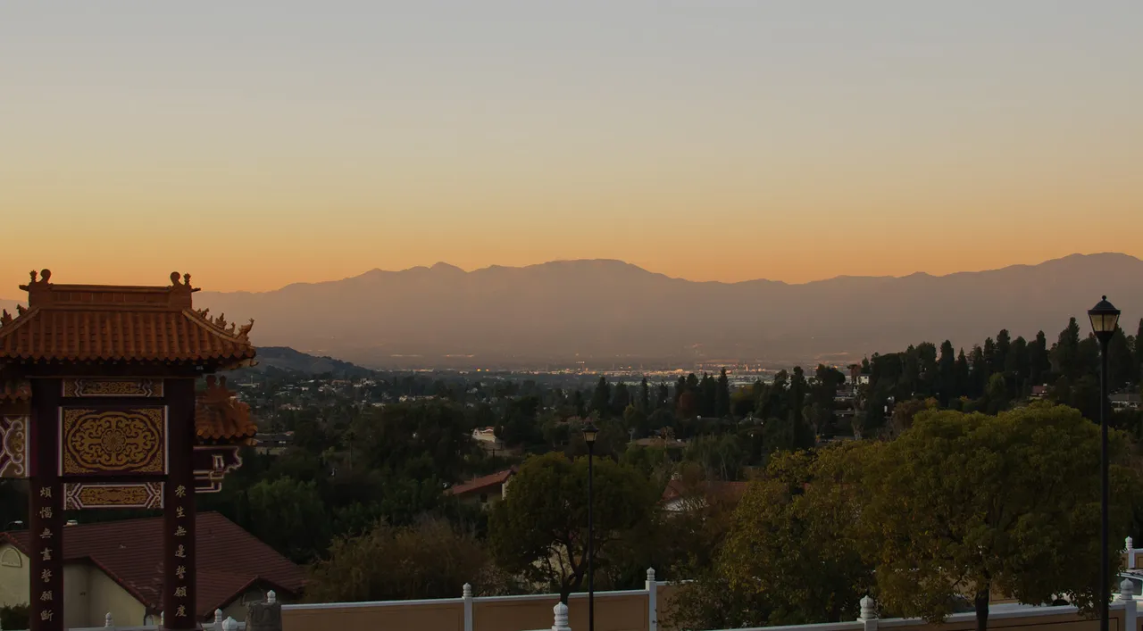
Puente Hills Preserve · Greater Los Angeles
Nature preserve in Puente Hills Preserve (Greater Los Angeles), about 14 miles east of downtown Los Angeles. Typical outing is 4.4 miles with 890 ft of climb. Popular with local hikers and Los Angeles hiking Meetup groups.
Photo: InSapphoWeTrust from Los Angeles, California, USA · CC BY-SA 2.0
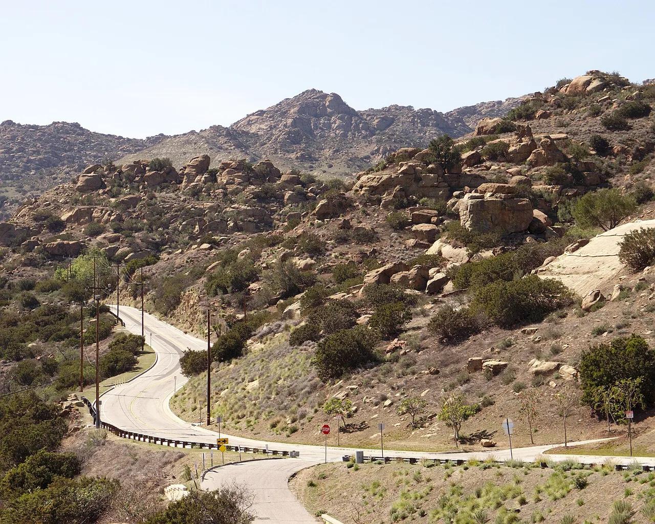
Rocky Peak Park · Santa Monica Mountains
Hilltop in Rocky Peak Park (Santa Monica Mountains), about 27 miles northwest of downtown Los Angeles. Typical outing is 4.8 miles with 1,180 ft of climb. Popular with local hikers and Los Angeles hiking Meetup groups.
Photo: Junkyardsparkle · Public domain
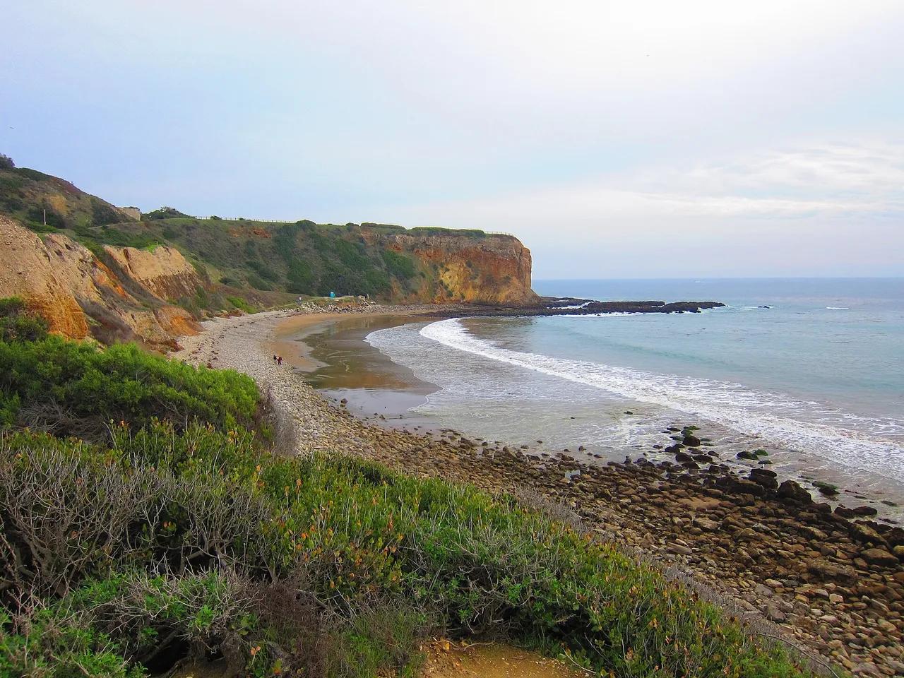
Palos Verdes Nature Preserve · Greater Los Angeles
Nature preserve in Palos Verdes Nature Preserve (Greater Los Angeles), about 21 miles south of downtown Los Angeles. Typical outing is 4.6 miles with 870 ft of climb. Popular with local hikers and Los Angeles hiking Meetup groups.
Photo: Jim Helvey · CC BY 3.0
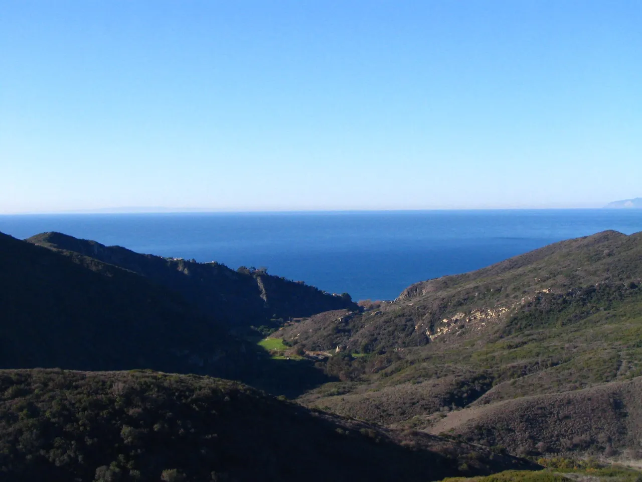
Aliso and Wood Canyons Wilderness Park · Greater Los Angeles
Viewpoint in Aliso and Wood Canyons Wilderness Park (Greater Los Angeles), about 44 miles southeast of downtown Los Angeles. Typical outing is 4.8 miles with 890 ft of climb. Popular with local hikers and Los Angeles hiking Meetup groups.
Photo: Themaeeandhisfriend · Public domain