



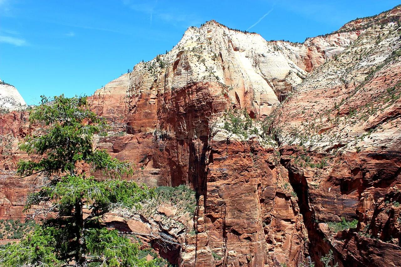
Zion National Park · Southwest Utah · Utah
Observation Point via East Mesa Trail
Panoramic cliff-edge aerie looking straight down into Zion Canyon and across to Angels Landing from 2,148 feet above the floor.
- Route
- 7 mi
- Climb
- 705 ft
Browse & Discover
Overlooks, natural arches, sea caves, groves and wildlife reserves.
1,296 of 2,051 places
Drag to pan. Double-click, pinch or scroll to zoom. Keyboard: arrow keys and +/−. Cards below remain available.
Loading map… Browse the spot cards below at any time.

Joshua Tree National Park
A granite arch in the White Tank monzogranite, reached by a short sandy trail from the Twin Tanks parking area.
John D. from Pasadena, USA · CC BY 2.0. Source & image licence

Joshua Tree National Park
A short desert trail to the historic Barker Dam water-storage structure in Joshua Tree National Park.
Hannah Schwalbe / NPS · Public domain. Source & image licence

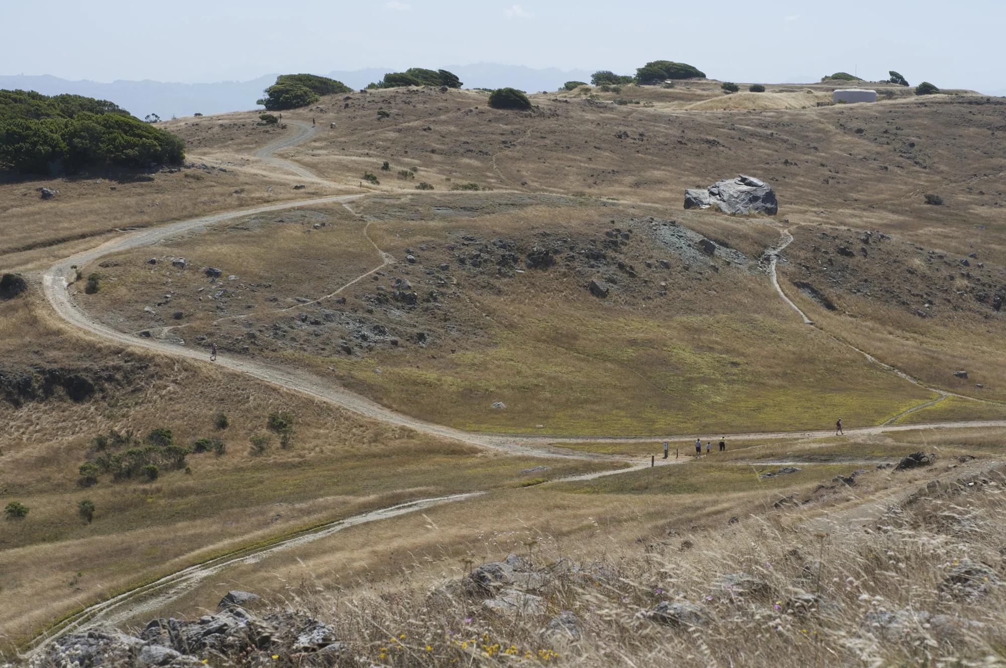
Russian Ridge Open Space Preserve
The highest named summit in San Mateo County, an open grassland top on Russian Ridge with views from the ocean to the Bay.
Justin Dolske from Cupertino, USA · CC BY-SA 2.0. Source & image licence

Eaton Canyon Natural Area
The waterfall at the head of lower Eaton Canyon, reached by a wide wash walk from the Eaton Canyon Nature Center and a final creekside scramble.
[scott.medling or en:user:scott.medling user:scott.medling from California, United States] · CC BY-SA 2.0. Source & image licence

Angeles National Forest
The ruined mountain resort of the Mount Lowe Railway, on a front-range promontory above Altadena at the top of the Lower Sam Merrill Trail.
Lennonrodgers at en.wikipedia · Public domain. Source & image licence

Escondido Canyon Park
A multi-tiered waterfall in Escondido Canyon above Malibu. The maintained trail ends at the base of the mossy lower tier.
Santa Monica Mountains National Recreation Area · Public domain. Source & image licence

Inyo National Forest
A chain of small alpine lakes at the head of Little Lakes Valley in the John Muir Wilderness, below the 13,000-foot peaks of the Bear Creek Spire cirque.
Jane S. Richardson (talk · contribs) · CC BY-SA 3.0. Source & image licence

Angeles National Forest
A high saddle and five-way trail junction on the Cucamonga Wilderness ridge, at the top of the steady climb up Icehouse Canyon.
Jason Hollinger · CC BY 2.0. Source & image licence

Mount Tamalpais Watershed
A winter-and-spring cascade on Cataract Creek just below the Laurel Dell picnic area, reached downhill along the Cataract Trail from Rock Spring.
Richard Wood · CC BY-SA 3.0. Source & image licence

Joshua Tree National Park
One of the best-preserved stamp mills in Joshua Tree National Park, at the site of the Lost Horse gold mine.
Joseph from Cabin On The Road, USA · CC BY-SA 2.0. Source & image licence

Angeles National Forest
A waterfall of about fifty feet filling the head of a narrow, shaded canyon, a short walk upstream from Millard Campground.
Region 5 Photography · Public domain. Source & image licence

Mission Peak Regional Preserve
The bare grassland summit above Fremont, marked by the Mission Peeker sighting pole and climbed by the Hidden Valley Trail from Stanford Avenue.
Oleg Alexandrov · CC BY-SA 3.0. Source & image licence

Angeles National Forest
The highest summit of the San Gabriel Mountains, reached from Baldy Notch along the exposed Devils Backbone ridge.
Darkest tree · CC BY-SA 4.0. Source & image licence

Mount Tamalpais State Park
The summit of Mount Tamalpais, a short plank-and-rock climb from the East Peak visitor area to the fire lookout above the whole Bay Area.
Chris Koerner from St. Louis, USA · CC BY-SA 2.0. Source & image licence

Inyo National Forest
A quiet lake in the Ansel Adams Wilderness beneath Parker Peak, reached through sage and an aspen-lined creek canyon off the June Lake Loop.
Mark Gunn from Novato, California, USA · CC BY 2.0. Source & image licence

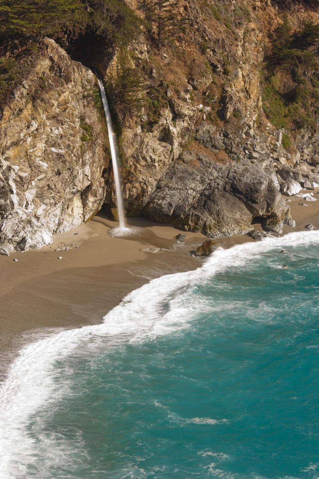
Pfeiffer Big Sur State Park
A 60-foot waterfall on Pfeiffer-Redwood Creek, reached through the redwoods of Pfeiffer Big Sur State Park on a trail twice rebuilt — after the 2008 Basin Complex Fire and again after 2023 storm damage.
Joe Mabel · CC BY-SA 4.0. Source & image licence

Joshua Tree National Park
A signed summit trail in Joshua Tree National Park, climbing from Park Boulevard to Ryan Mountain.
Robb Hannawacker / National Park Service · Public domain. Source & image licence

Santa Monica Mountains National Recreation Area
The highest point in the Santa Monica Mountains, climbed from the Mishe Mokwa trailhead along the Backbone Trail at Circle X Ranch.
Wasquewhat · CC BY-SA 4.0. Source & image licence

Angeles National Forest
A 50-foot single drop into a shallow plunge pool, 1.7 mi up Big Santa Anita Canyon. Shaded the entire way in. The work is all on the walk out.
U.S. Department of Agriculture / USDA USFS · CC BY 2.0. Source & image licence

Point Reyes National Seashore
The northern tip of the Point Reyes peninsula, reached across the open bluffs of the Tomales Point Tule Elk Reserve.
Frank Schulenburg · CC BY-SA 4.0. Source & image licence

Santa Monica Mountains National Recreation Area
The ruins of the Roberts family ranch house at the end of the canyon-floor trail in Solstice Canyon, beside a small seasonal waterfall.
George Heras / Santa Monica Mountains National Recreation Area · Public domain. Source & image licence

Pfeiffer Big Sur State Park
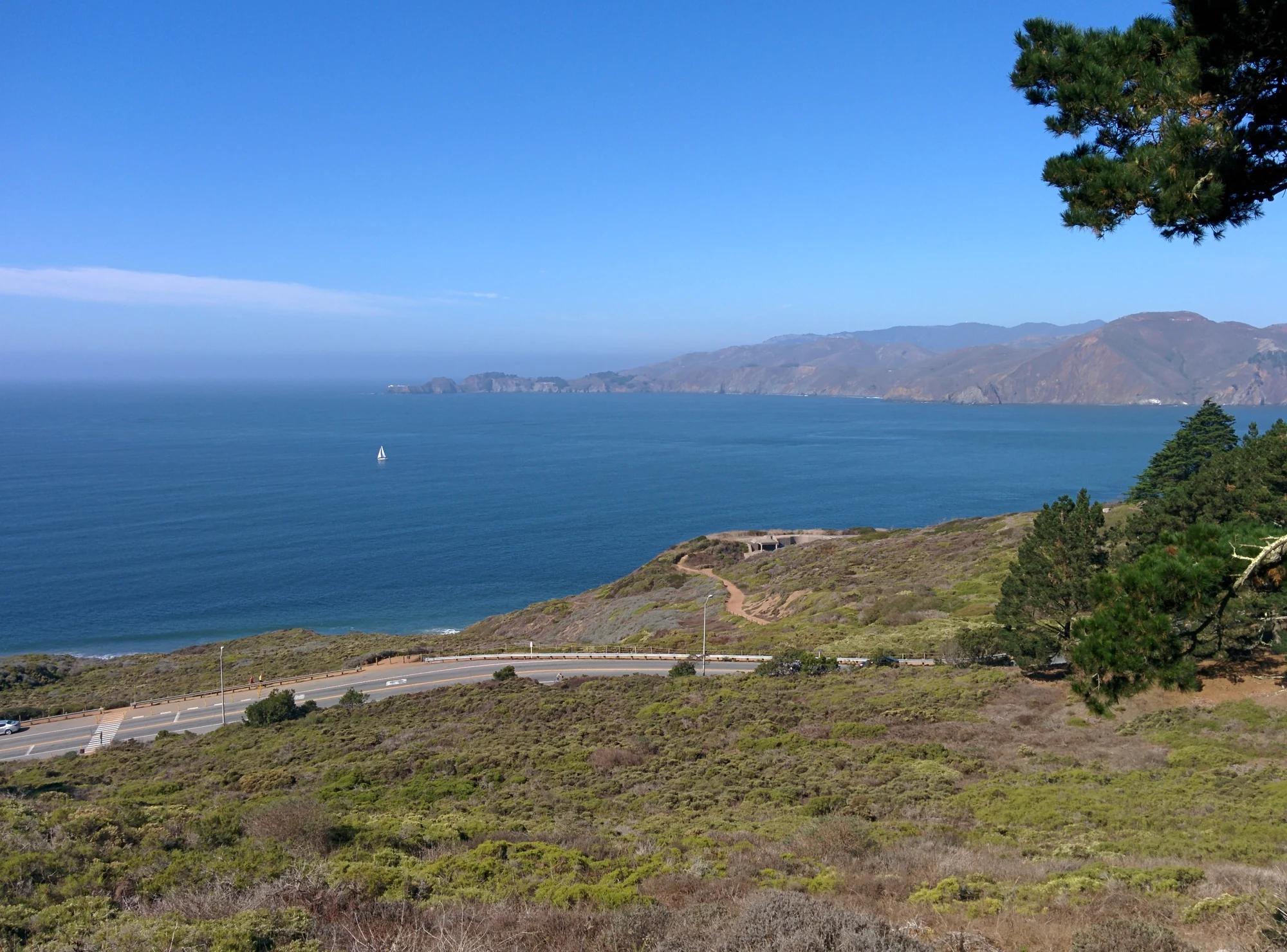
An overlook above the Big Sur River valley, looking north over the redwoods toward Point Sur and the Pacific.
King of Hearts · CC BY-SA 3.0. Source & image licence

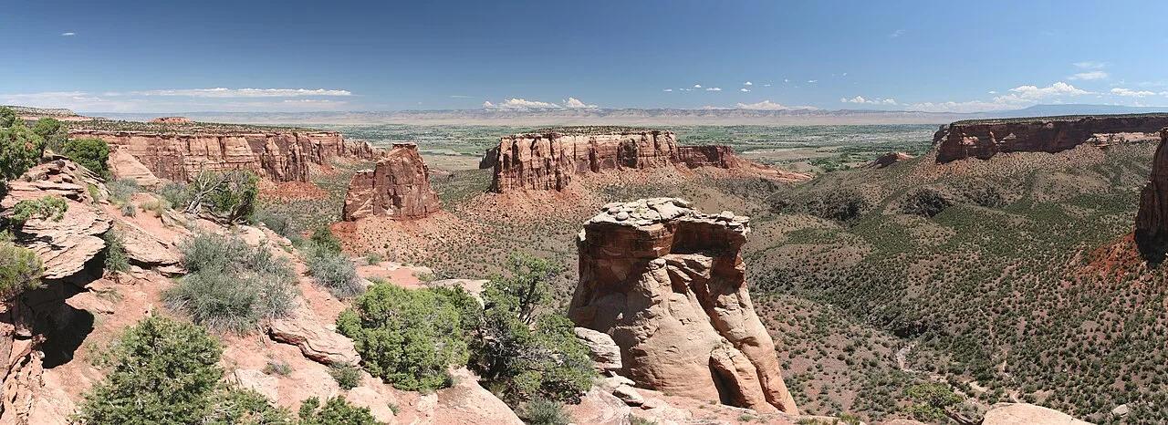
Colorado National Monument (Fruita / Grand Junction) · Colorado Plateau · Colorado
450-foot freestanding Independence Monument monolith and rounded Wingate sandstone Coke Ovens rising above the Grand Valley.
Photo: Daniel Schwen · CC BY-SA 4.0

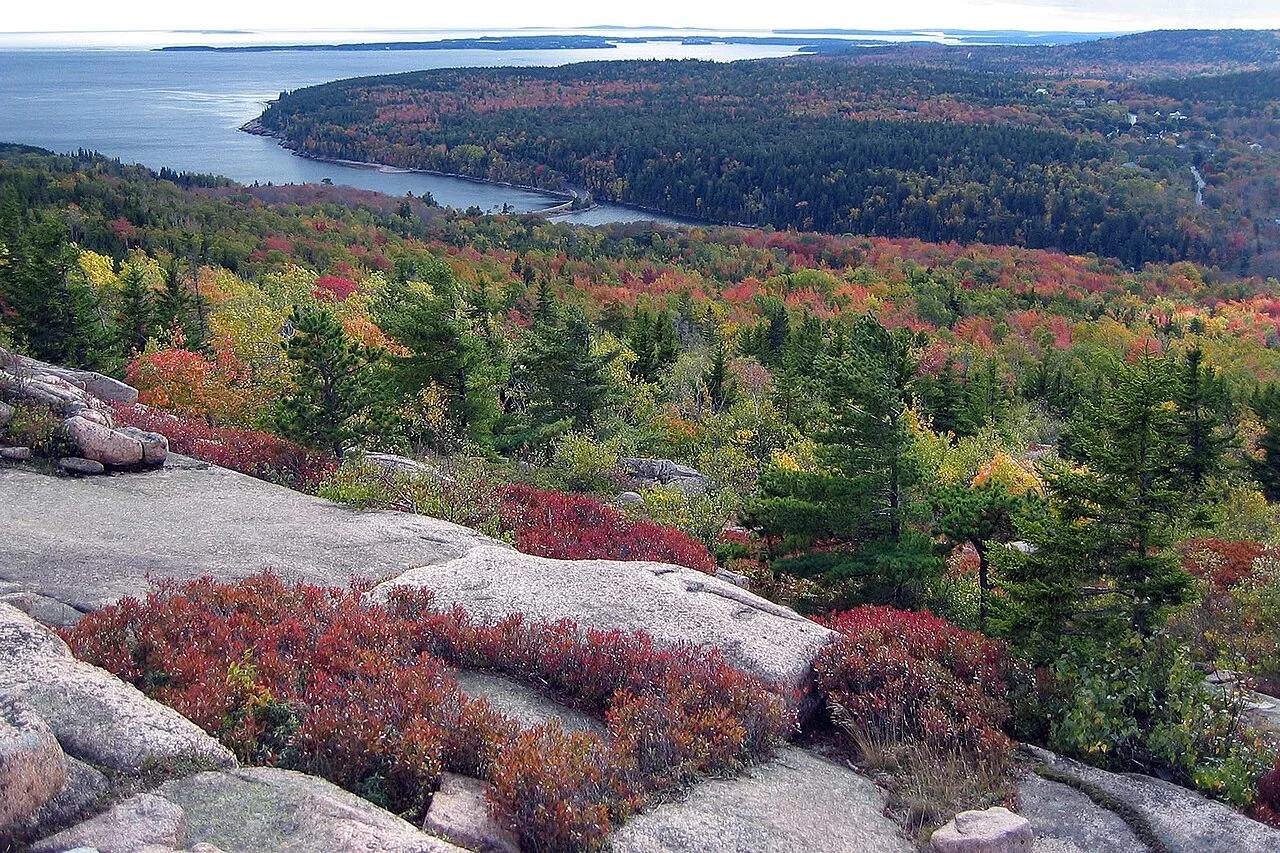
Acadia National Park · Downeast Maine · Maine
Granite ledges and prehistoric sea-caves carved during post-glacial rebound overlooking Sand Beach and the open Atlantic.
Photo: National Park Service / uncredited derivative work: User:Maps and stuff (crop... · Public domain

Blue Ridge Parkway (Milepost 364.1) · Appalachian & Blue Ridge · North Carolina
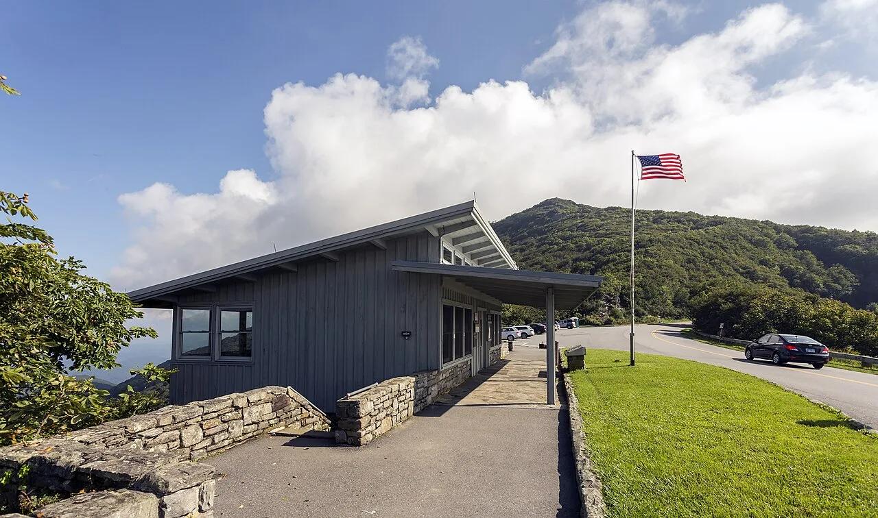
High-elevation crooked beech forest and purple Catawba rhododendron balds rising to a 360-degree stone observation platform at 5,892 feet.
Photo: Acroterion · CC BY-SA 4.0

Bushkill Falls Estate · Poconos · Pennsylvania
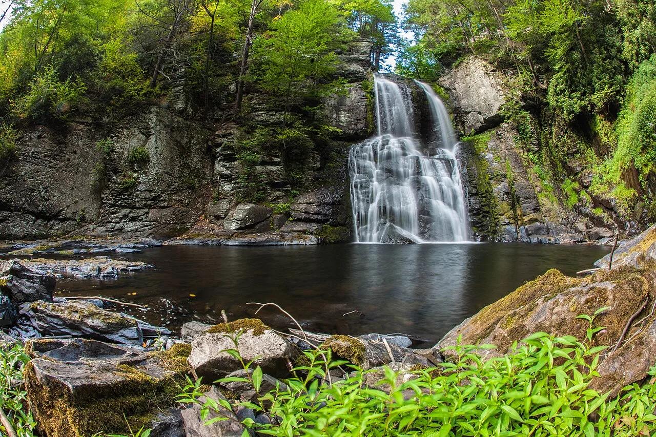
The Niagara of Pennsylvania—eight cascading mountain waterfalls plunging 100 feet through deep hemlock ravines on cantilevered wooden walkways.
Photo: Anthony Quintano from Hillsborough, NJ, United States · CC BY 2.0

Superior National Forest (Superior Hiking Trail) · North Shore · Minnesota
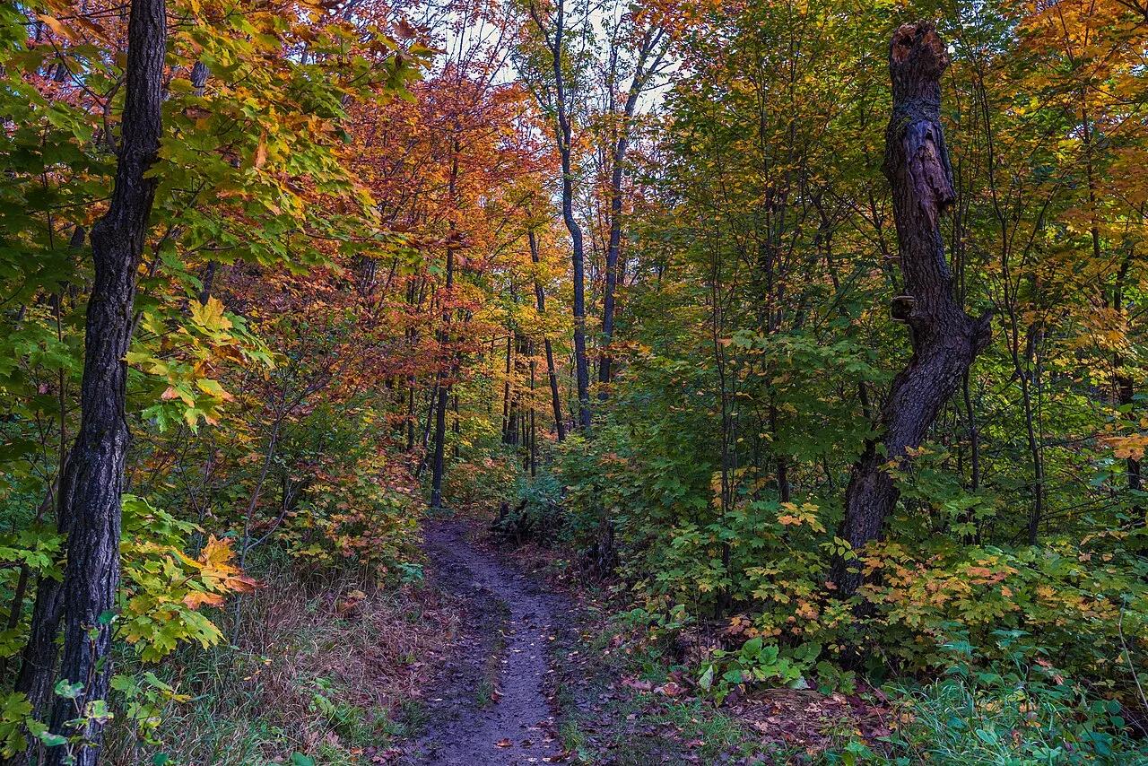
Beloved 2-mile circuit atop an ancient volcanic gabbro knob delivering 360-degree vistas of Lake Superior, Oberg Lake, and vivid boreal fall foliage.
Photo: Tony Webster from Minneapolis, Minnesota, United States · CC BY-SA 2.0

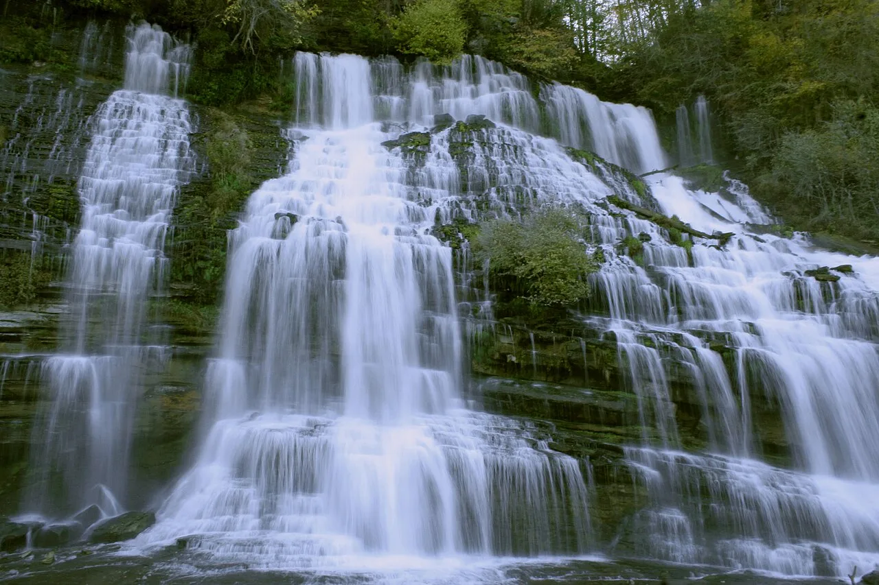
Rock Island State Park · Appalachian & Blue Ridge · Tennessee
200-foot-wide curtain of subterranean Caney Fork River water bursting straight out of mid-cliff limestone fissures below Great Falls Dam.
Photo: Michael W. Neu · Public domain

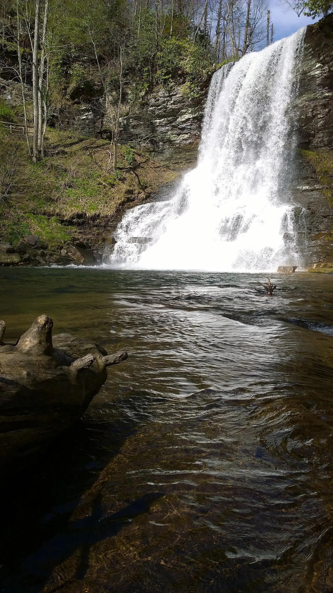
George Washington and Jefferson National Forests (Pembroke) · Appalachian & Blue Ridge · Virginia
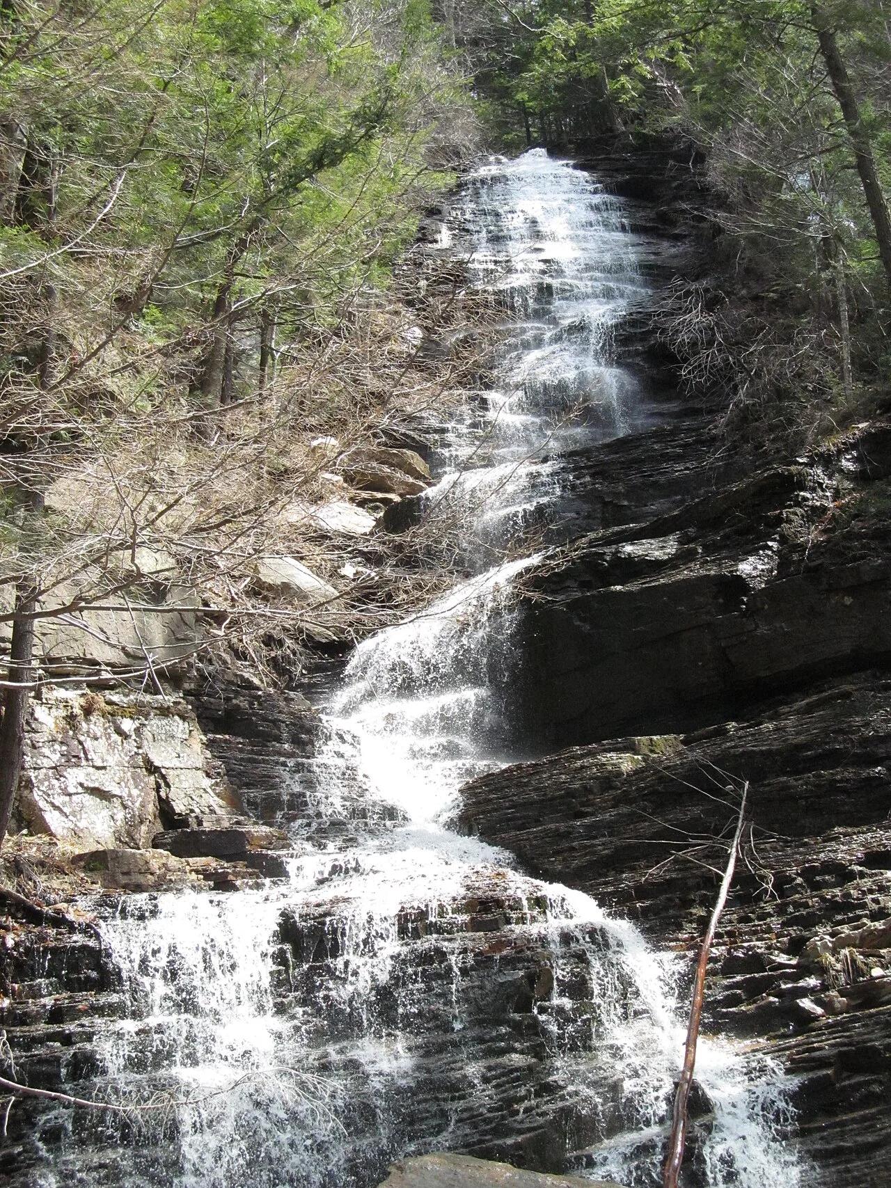
66-foot waterfall roaring through fractured Silurian sandstone cliffs into a vast, deep mountain amphitheater pool.
Photo: Anupam Kumar Singh · CC BY-SA 4.0

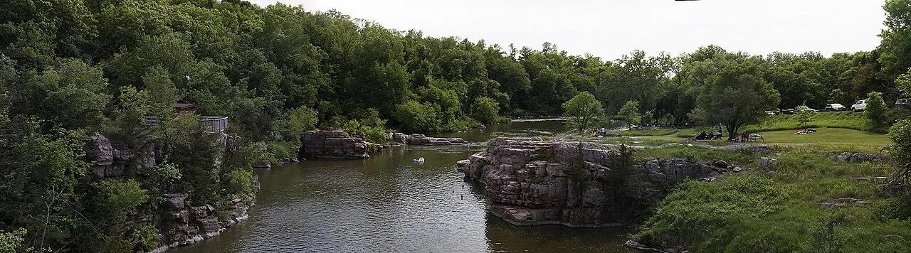
Palisades State Park (Garretson) · Eastern South Dakota · South Dakota
Striking 50-foot vertical pink and purple Sioux quartzite cliffs and pinnacles carved by Split Rock Creek, a rock-climbing and paddling oasis.
Photo: Jerry7171 · CC BY-SA 3.0

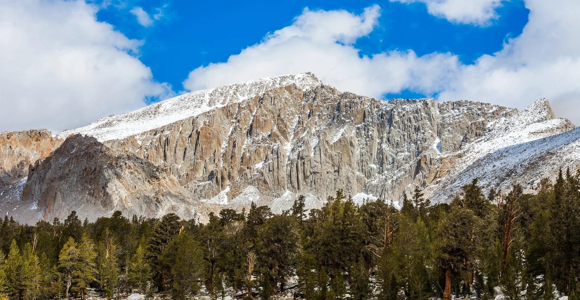
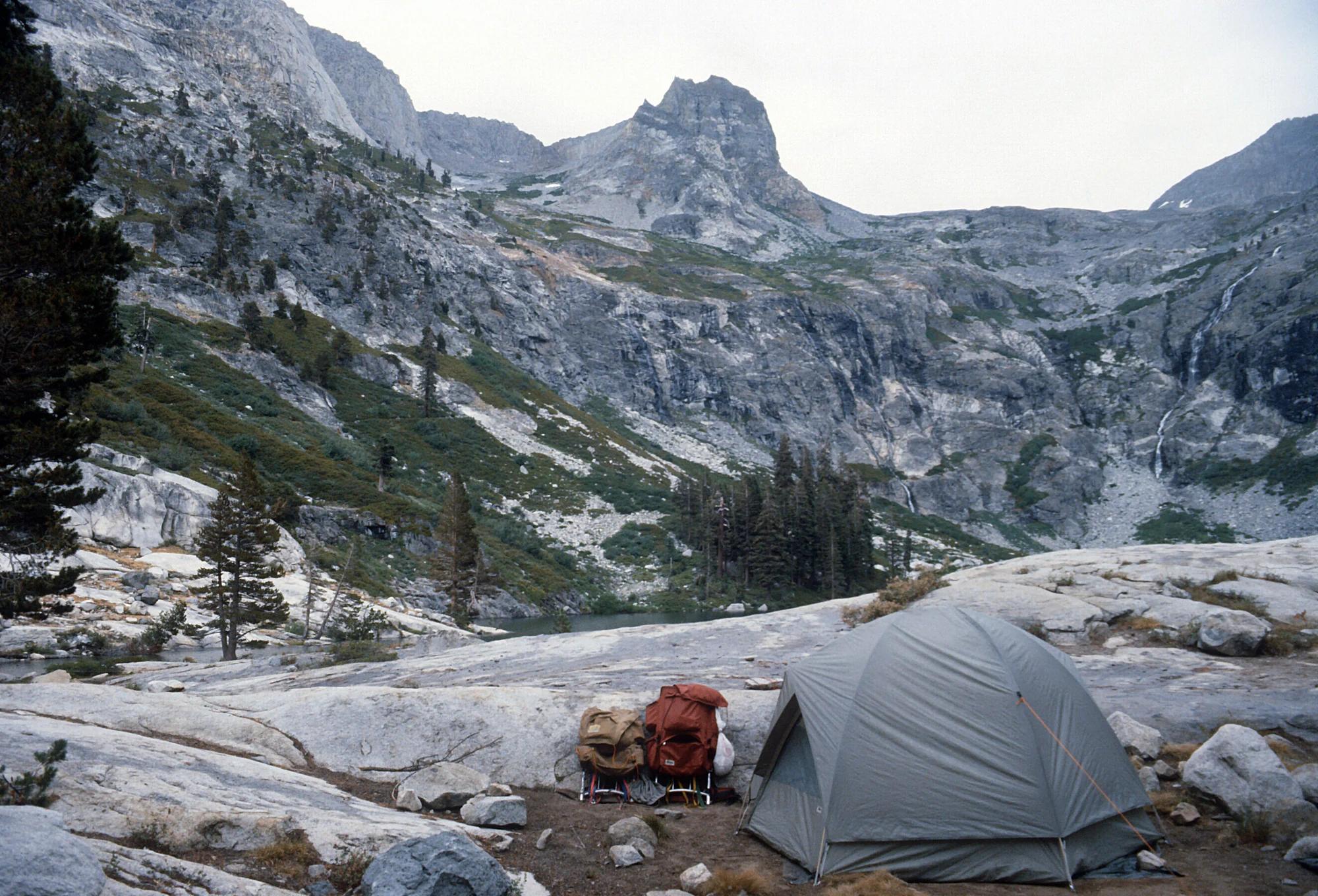
Sequoia and Kings Canyon National Parks · Yosemite & Central Sierra
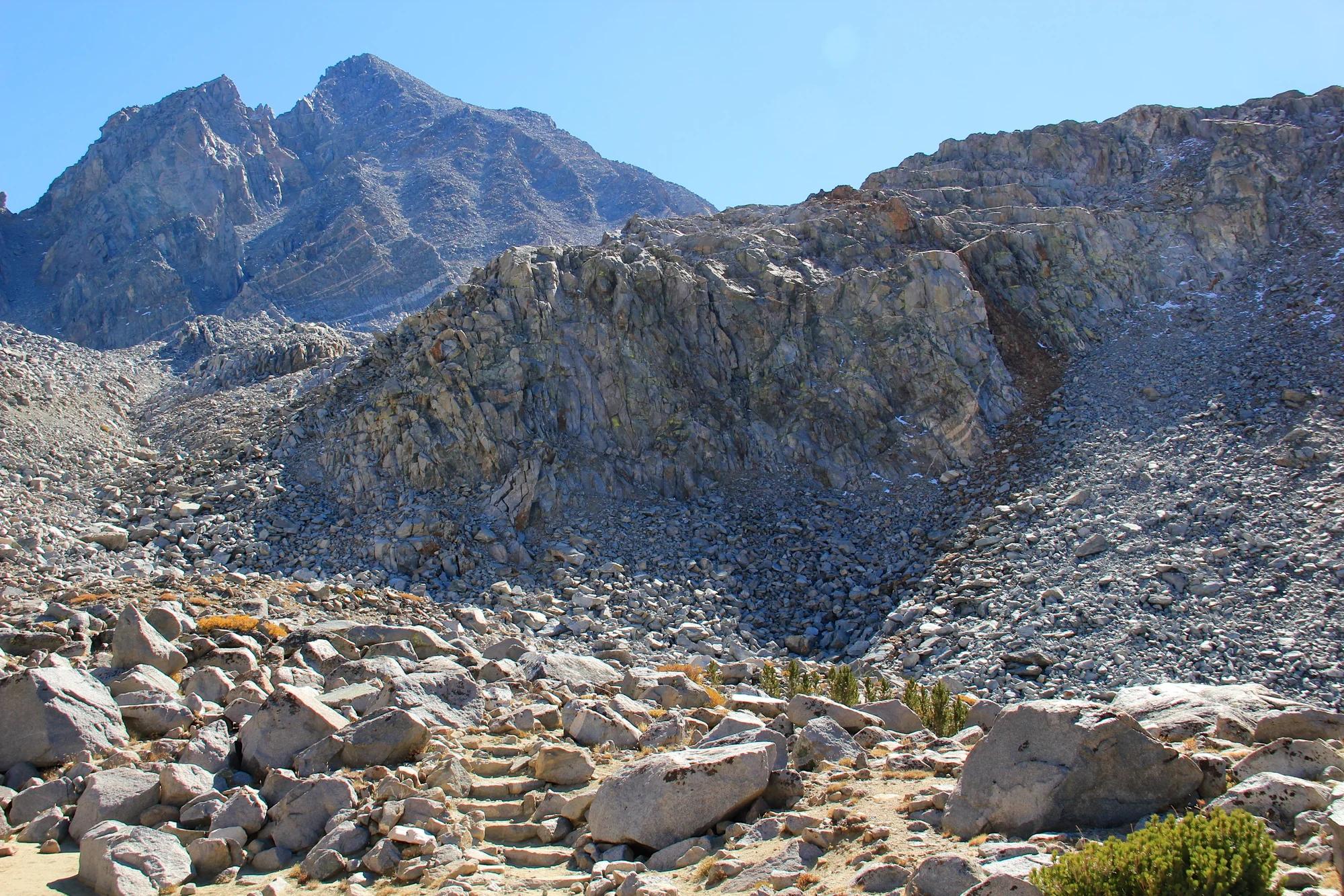
Verified California saddle at 10,689 ft in Sequoia and Kings Canyon National Parks (Yosemite & Central Sierra). Linked to Big SEKI Loop.
Photo: Mitch Barrie from Costa Mesa, CA, USA · CC BY-SA 2.0