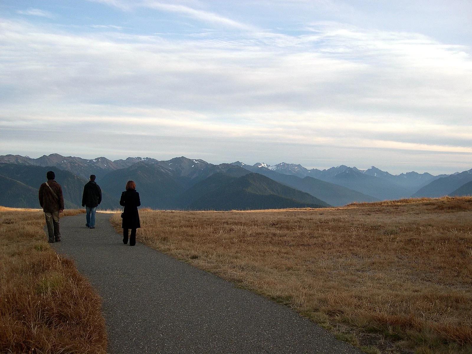
Viewpoint
Olympic National Park · Pacific Northwest · Washington
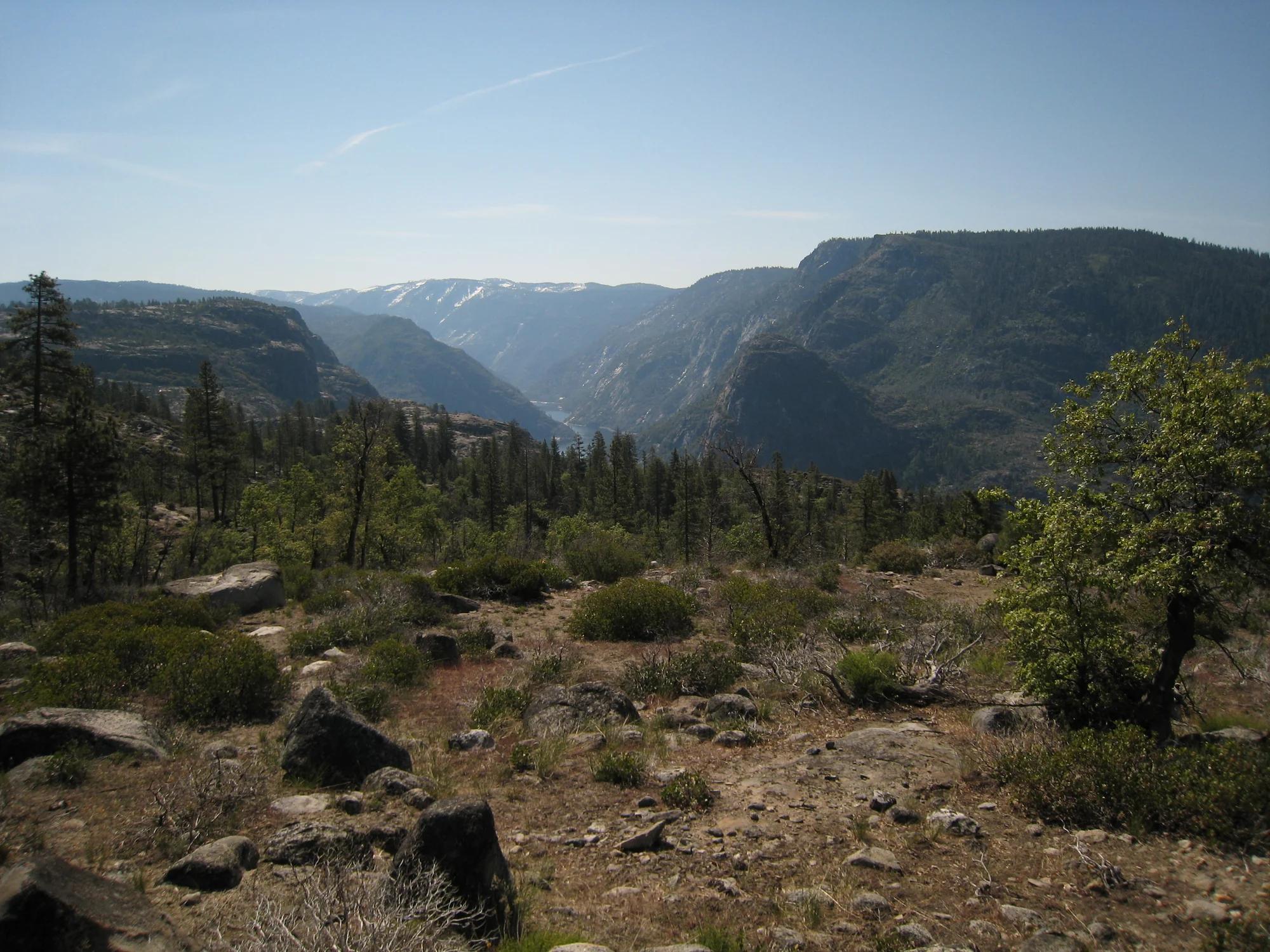
Hurricane Ridge
A lofty 5,242-foot mountain ridge offering jaw-dropping views of glaciated Mount Olympus and alpine subalpine meadows.
- Route
- 3.2 mi
- Climb
- 699 ft
Browse & Discover
Canyon trails, waterfall walks, ridge traverses and high peaks.
1,844 of 2,051 places
Drag to pan. Double-click, pinch or scroll to zoom. Keyboard: arrow keys and +/−. Cards below remain available.
Loading map… Browse the spot cards below at any time.

Joshua Tree National Park
A granite arch in the White Tank monzogranite, reached by a short sandy trail from the Twin Tanks parking area.
John D. from Pasadena, USA · CC BY 2.0. Source & image licence

Joshua Tree National Park
A short desert trail to the historic Barker Dam water-storage structure in Joshua Tree National Park.
Hannah Schwalbe / NPS · Public domain. Source & image licence

Russian Ridge Open Space Preserve
The highest named summit in San Mateo County, an open grassland top on Russian Ridge with views from the ocean to the Bay.
Justin Dolske from Cupertino, USA · CC BY-SA 2.0. Source & image licence

Eaton Canyon Natural Area
The waterfall at the head of lower Eaton Canyon, reached by a wide wash walk from the Eaton Canyon Nature Center and a final creekside scramble.
[scott.medling or en:user:scott.medling user:scott.medling from California, United States] · CC BY-SA 2.0. Source & image licence

Angeles National Forest
The ruined mountain resort of the Mount Lowe Railway, on a front-range promontory above Altadena at the top of the Lower Sam Merrill Trail.
Lennonrodgers at en.wikipedia · Public domain. Source & image licence

Escondido Canyon Park
A multi-tiered waterfall in Escondido Canyon above Malibu. The maintained trail ends at the base of the mossy lower tier.
Santa Monica Mountains National Recreation Area · Public domain. Source & image licence

Inyo National Forest
A chain of small alpine lakes at the head of Little Lakes Valley in the John Muir Wilderness, below the 13,000-foot peaks of the Bear Creek Spire cirque.
Jane S. Richardson (talk · contribs) · CC BY-SA 3.0. Source & image licence

Angeles National Forest
A high saddle and five-way trail junction on the Cucamonga Wilderness ridge, at the top of the steady climb up Icehouse Canyon.
Jason Hollinger · CC BY 2.0. Source & image licence

Mount Tamalpais Watershed
A winter-and-spring cascade on Cataract Creek just below the Laurel Dell picnic area, reached downhill along the Cataract Trail from Rock Spring.
Richard Wood · CC BY-SA 3.0. Source & image licence

Joshua Tree National Park
One of the best-preserved stamp mills in Joshua Tree National Park, at the site of the Lost Horse gold mine.
Joseph from Cabin On The Road, USA · CC BY-SA 2.0. Source & image licence

Angeles National Forest
A waterfall of about fifty feet filling the head of a narrow, shaded canyon, a short walk upstream from Millard Campground.
Region 5 Photography · Public domain. Source & image licence

Mission Peak Regional Preserve
The bare grassland summit above Fremont, marked by the Mission Peeker sighting pole and climbed by the Hidden Valley Trail from Stanford Avenue.
Oleg Alexandrov · CC BY-SA 3.0. Source & image licence

Angeles National Forest
The highest summit of the San Gabriel Mountains, reached from Baldy Notch along the exposed Devils Backbone ridge.
Darkest tree · CC BY-SA 4.0. Source & image licence

Mount Tamalpais State Park
The summit of Mount Tamalpais, a short plank-and-rock climb from the East Peak visitor area to the fire lookout above the whole Bay Area.
Chris Koerner from St. Louis, USA · CC BY-SA 2.0. Source & image licence

Inyo National Forest
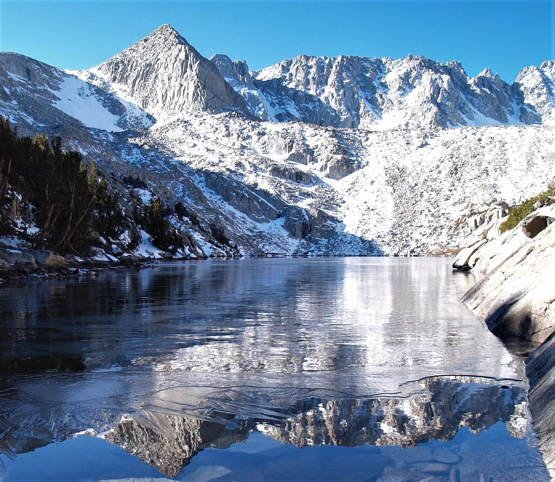
A quiet lake in the Ansel Adams Wilderness beneath Parker Peak, reached through sage and an aspen-lined creek canyon off the June Lake Loop.
Mark Gunn from Novato, California, USA · CC BY 2.0. Source & image licence

Pfeiffer Big Sur State Park
A 60-foot waterfall on Pfeiffer-Redwood Creek, reached through the redwoods of Pfeiffer Big Sur State Park on a trail twice rebuilt — after the 2008 Basin Complex Fire and again after 2023 storm damage.
Joe Mabel · CC BY-SA 4.0. Source & image licence
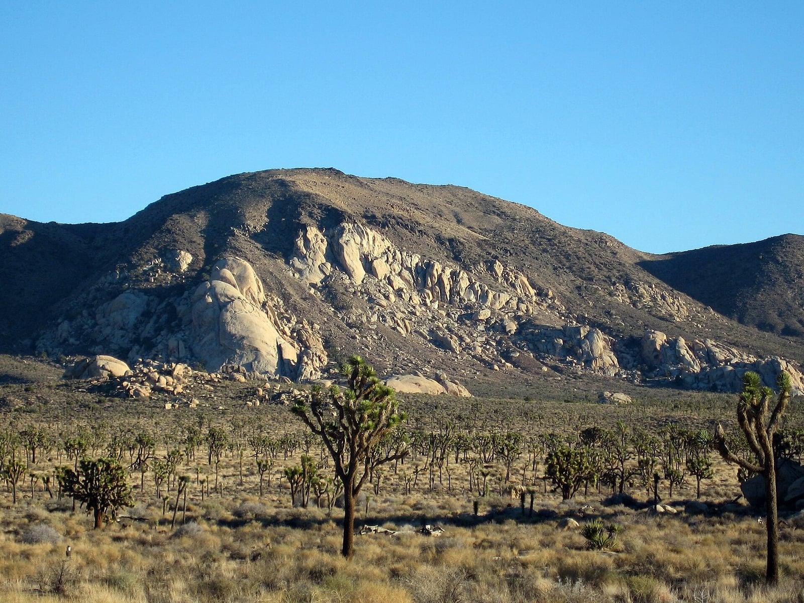
Joshua Tree National Park
A signed summit trail in Joshua Tree National Park, climbing from Park Boulevard to Ryan Mountain.
Robb Hannawacker / National Park Service · Public domain. Source & image licence

Santa Monica Mountains National Recreation Area
The highest point in the Santa Monica Mountains, climbed from the Mishe Mokwa trailhead along the Backbone Trail at Circle X Ranch.
Wasquewhat · CC BY-SA 4.0. Source & image licence

Angeles National Forest
A 50-foot single drop into a shallow plunge pool, 1.7 mi up Big Santa Anita Canyon. Shaded the entire way in. The work is all on the walk out.
U.S. Department of Agriculture / USDA USFS · CC BY 2.0. Source & image licence
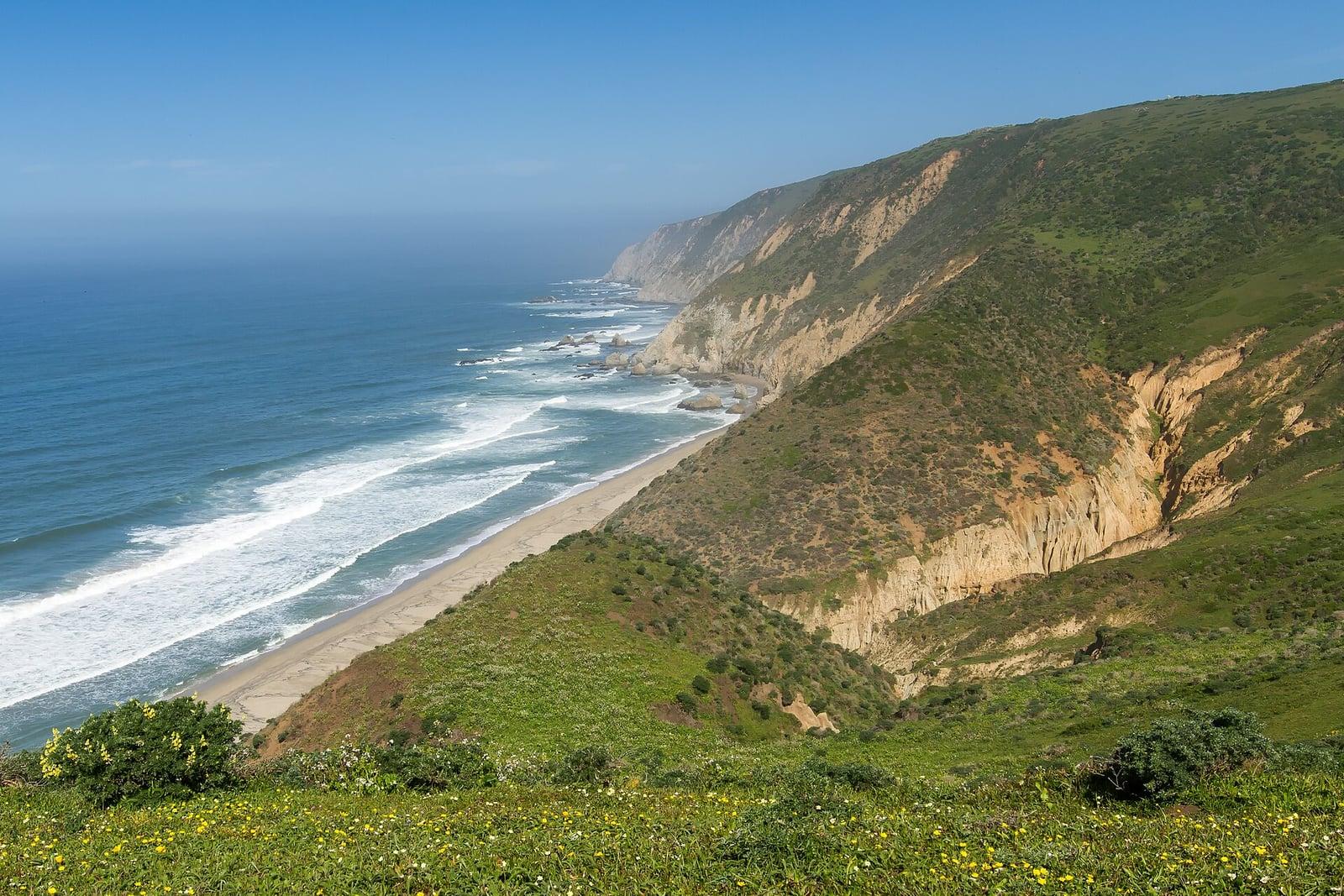
Point Reyes National Seashore
The northern tip of the Point Reyes peninsula, reached across the open bluffs of the Tomales Point Tule Elk Reserve.
Frank Schulenburg · CC BY-SA 4.0. Source & image licence

Santa Monica Mountains National Recreation Area
The ruins of the Roberts family ranch house at the end of the canyon-floor trail in Solstice Canyon, beside a small seasonal waterfall.
George Heras / Santa Monica Mountains National Recreation Area · Public domain. Source & image licence

Pfeiffer Big Sur State Park
An overlook above the Big Sur River valley, looking north over the redwoods toward Point Sur and the Pacific.
King of Hearts · CC BY-SA 3.0. Source & image licence
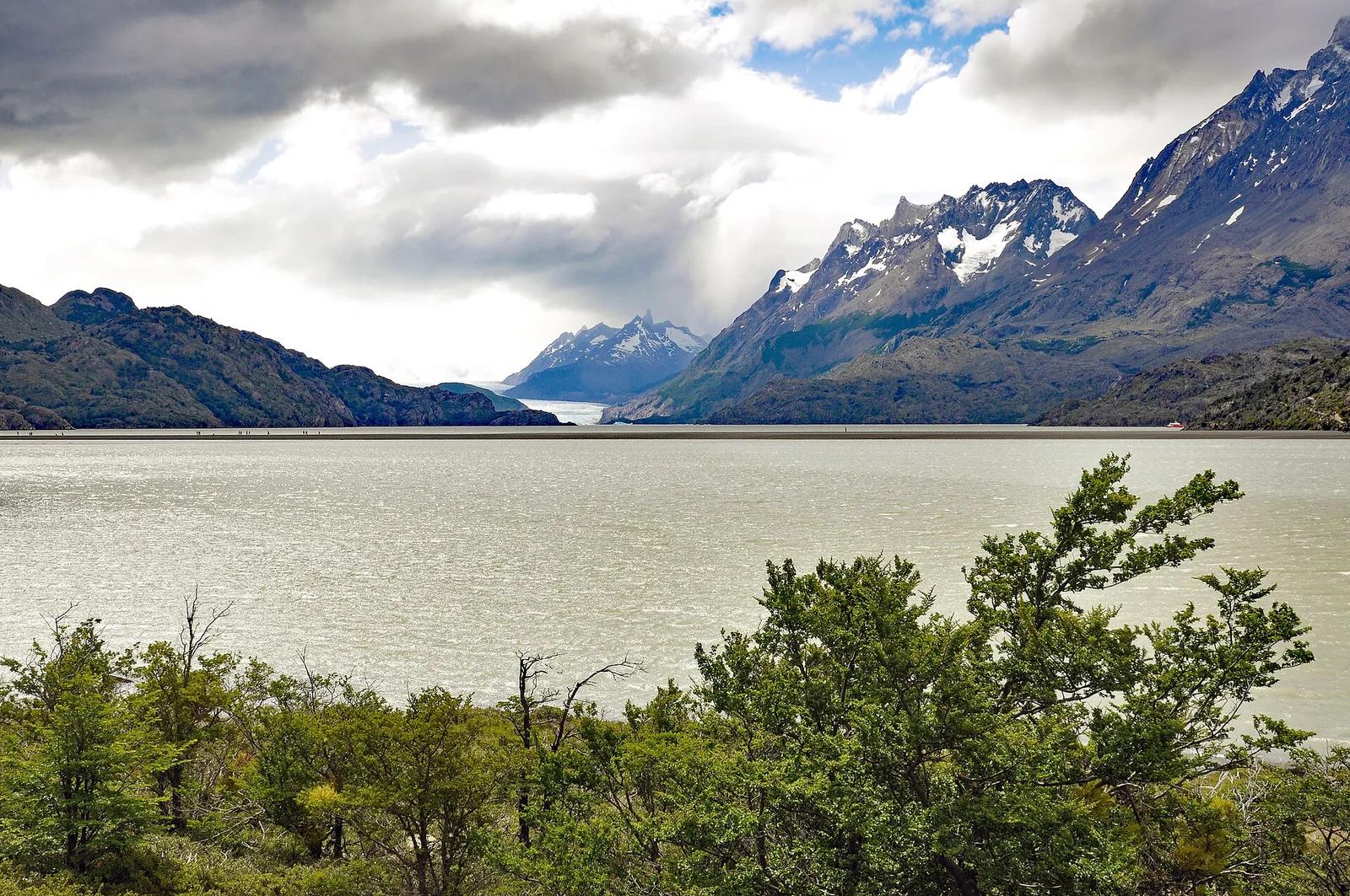
Torres del Paine National Park · Patagonia & Southern Andes · Chile
Colossal tongue of the Southern Patagonian Ice Field calving giant azure icebergs into Lago Grey, traversed by high swaying canyon suspension bridges.
Photo: P. Hughes · CC BY 4.0
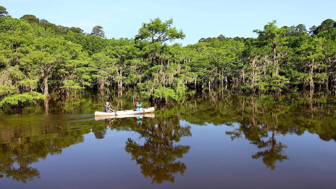
Caddo Lake State Park · Piney Woods · Texas
Eerie, primordial freshwater labyrinth of ancient bald cypress trees draped in Spanish moss, lily pads, and historic paddle trails on the Texas-Louisiana border.
Photo: Larry D. Moore · CC BY 4.0
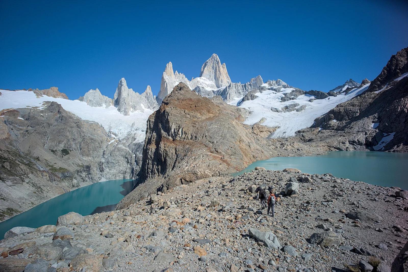
Los Glaciares National Park · Patagonia & Southern Andes · Argentina
The holy grail of Patagonian hiking: an alpine glacial tarn resting at the direct foot of Monte Fitz Roy's fang-like 3,405-metre granite towers.
Photo: Gedankenstuecke · CC BY-SA 4.0
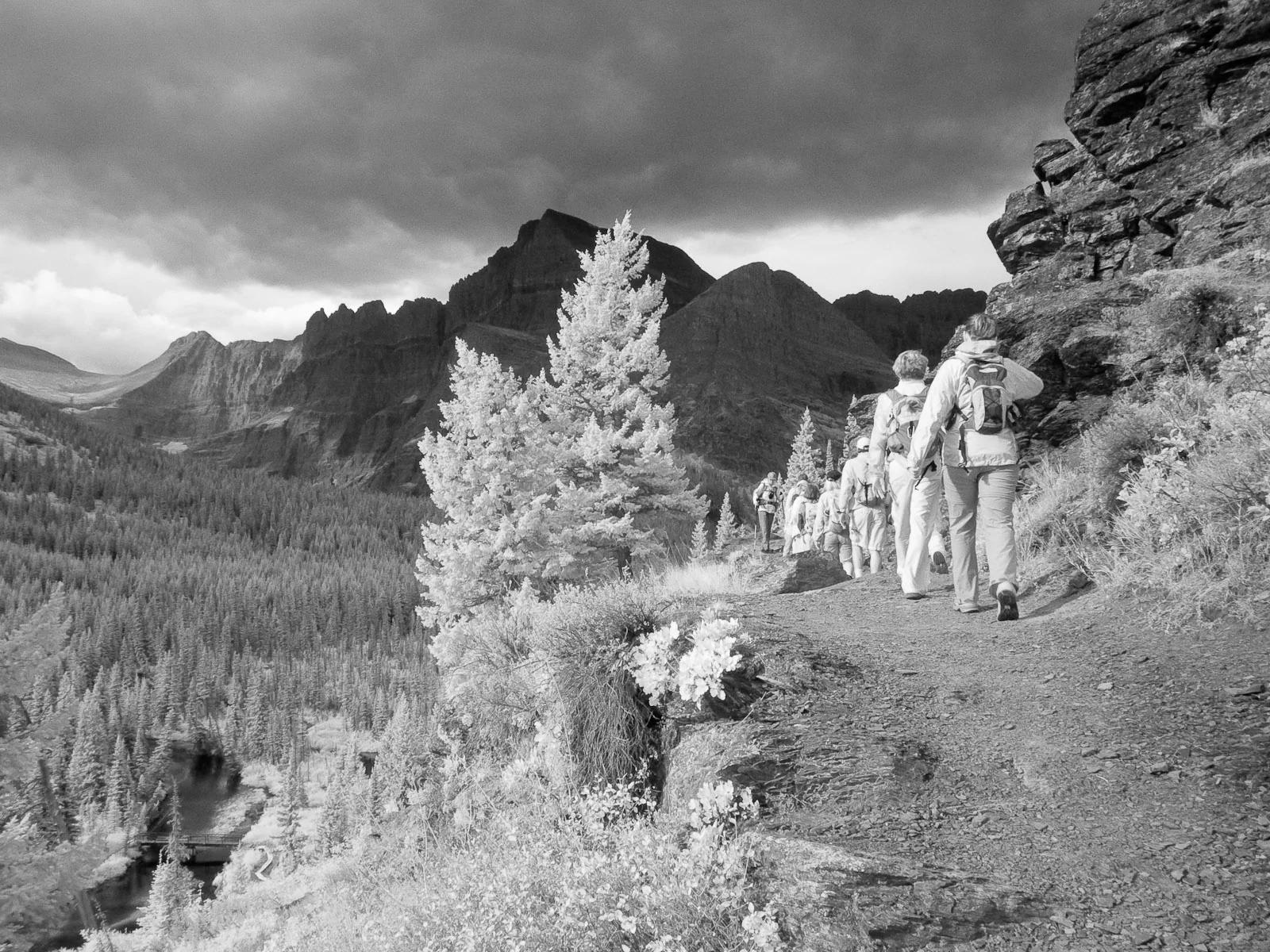
Glacier National Park · Yellowstone, Tetons & Northern Rockies · Montana
Ascends the Many Glacier Valley past emerald lakes to the terminus moraine and floating icebergs of Upper Grinnell Lake.
Photo: Greg Willis from Denver, CO, usa · CC BY-SA 2.0
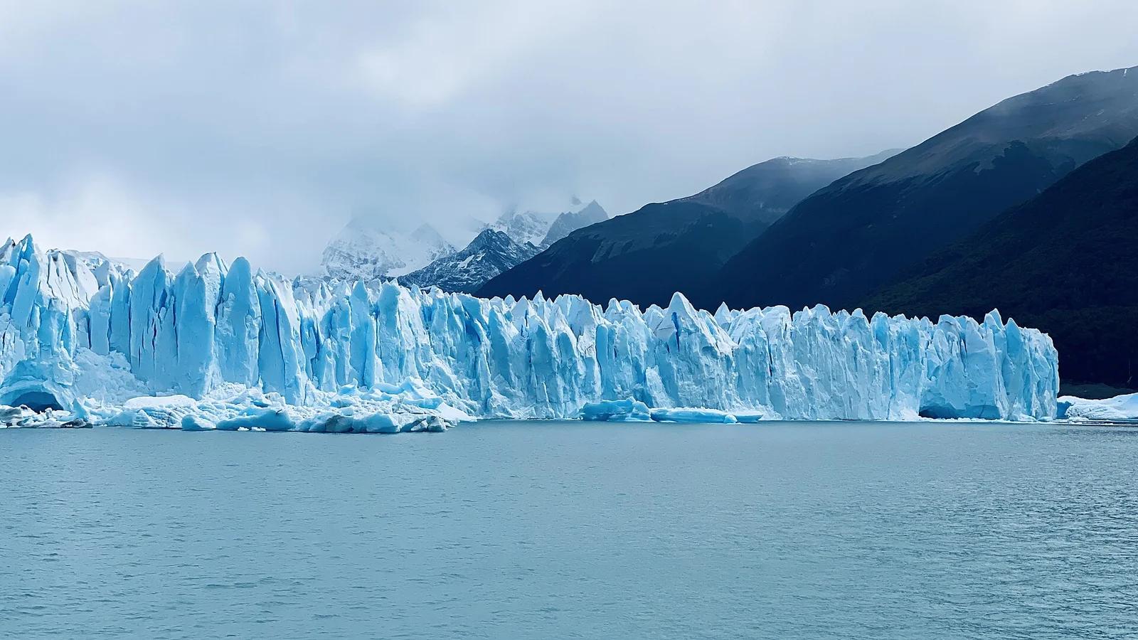
Los Glaciares National Park · Patagonia & Southern Andes · Argentina
A roaring 30-kilometre advancing ice river with a 70-metre front wall, watched from multi-tiered steel catwalks where towering ice seracs crash into Lago Argentino.
Photo: lamblukas · CC BY 2.0
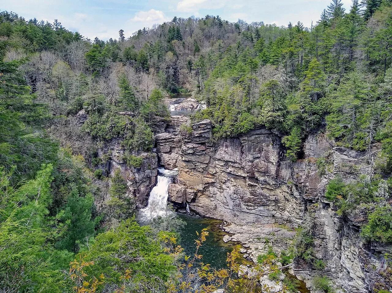
Blue Ridge Parkway / Pisgah National Forest · Appalachian & Blue Ridge · North Carolina
Three-tiered waterfall roaring into the 2,000-foot-deep Linville Gorge—the 'Grand Canyon of the Southern Appalachians.'
Photo: P. Hughes · CC BY-SA 4.0
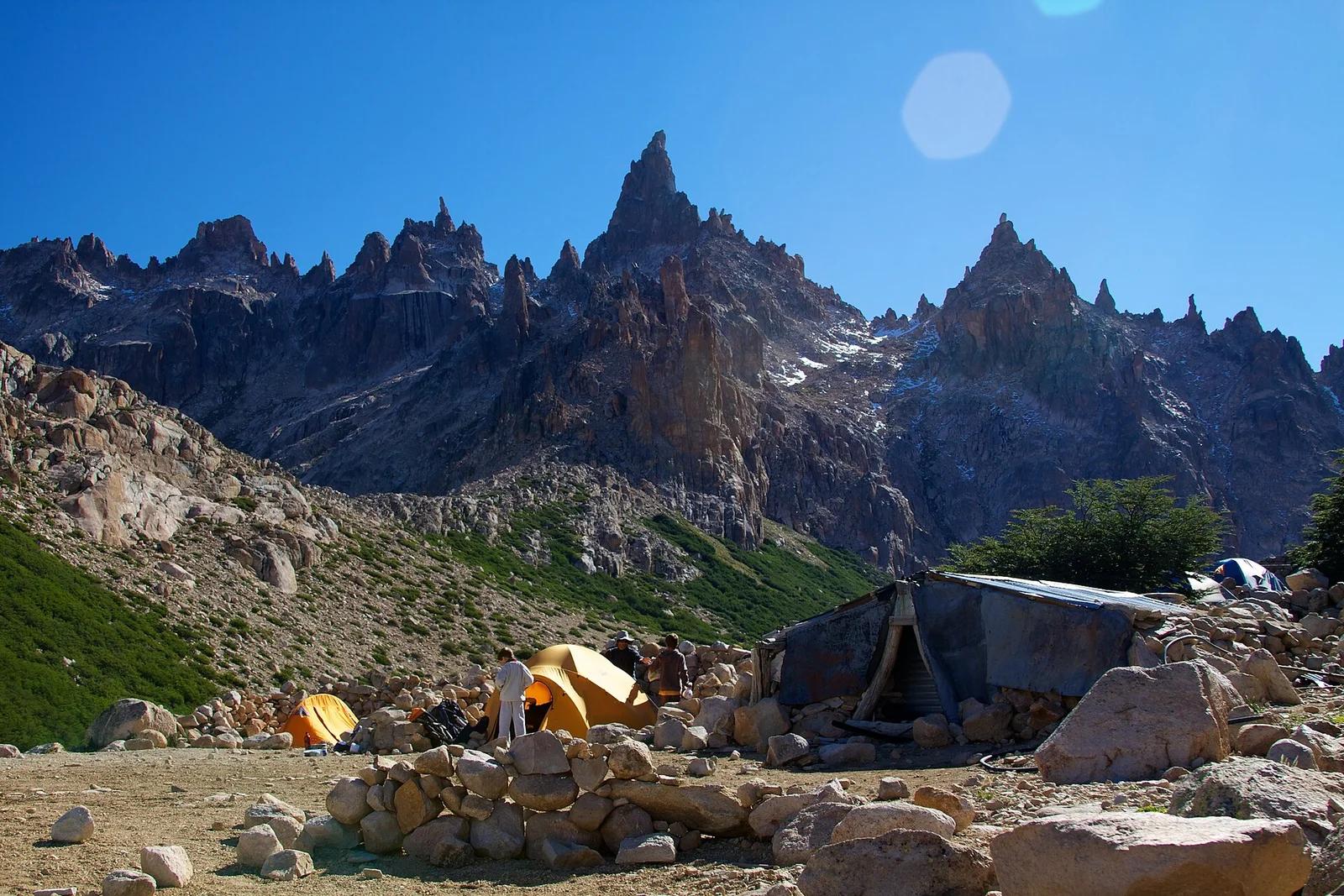
Nahuel Huapi National Park · Patagonia & Southern Andes · Argentina
Beloved alpine stone mountain hut on the shores of Laguna Toncek, encircled by orange granite needle spires famed worldwide among climbers.
Photo: McKay Savage from London, UK · CC BY 2.0
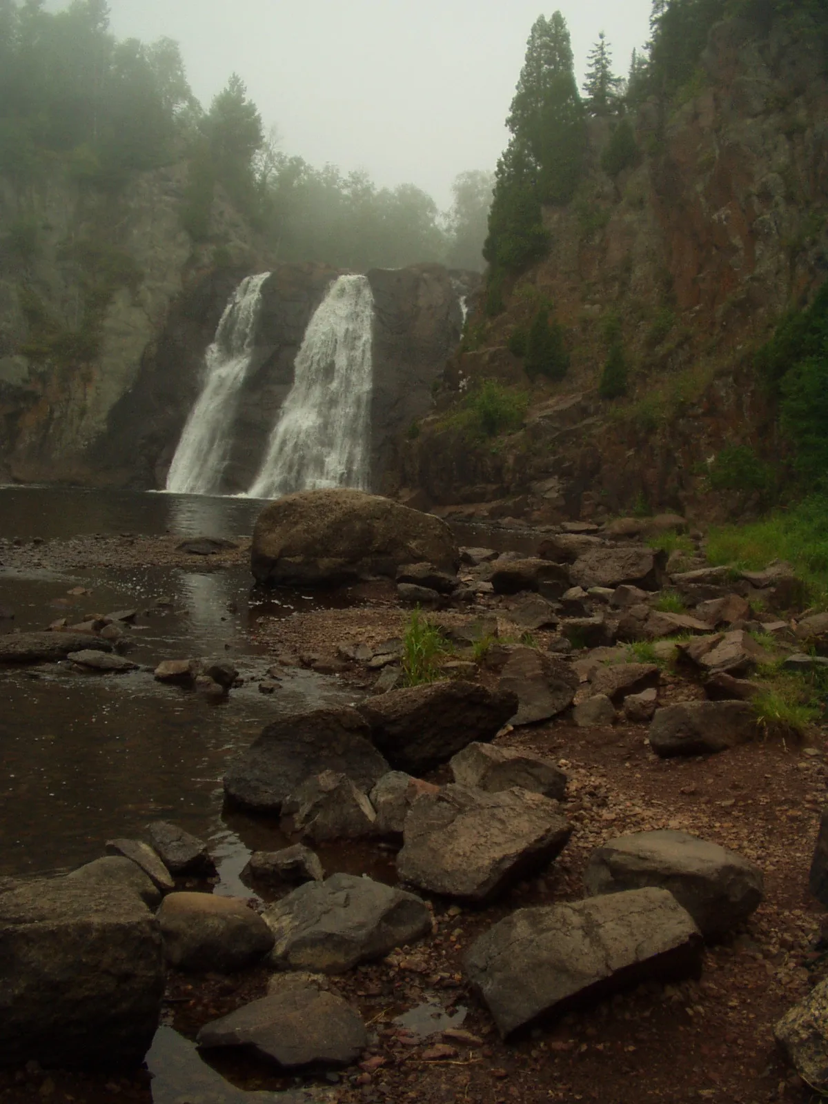
Tettegouche State Park · North Shore · Minnesota
The highest waterfall entirely within Minnesota at 60 feet, roaring through a jagged basalt canyon crossed by an iconic suspension bridge.
Photo: Rufus Sarsaparilla at English Wikipedia · Public domain
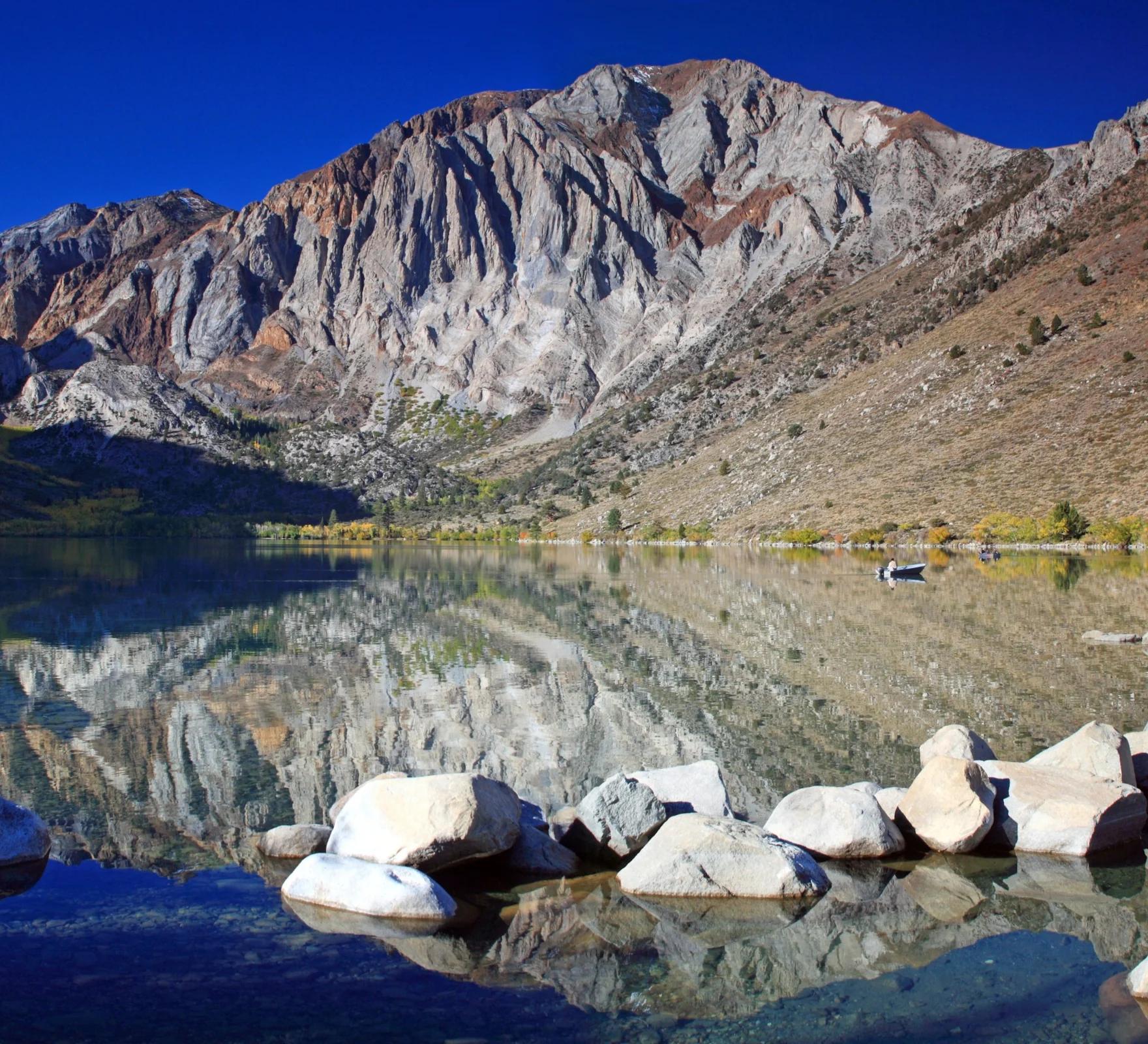
Inyo National Forest · Yosemite & Central Sierra
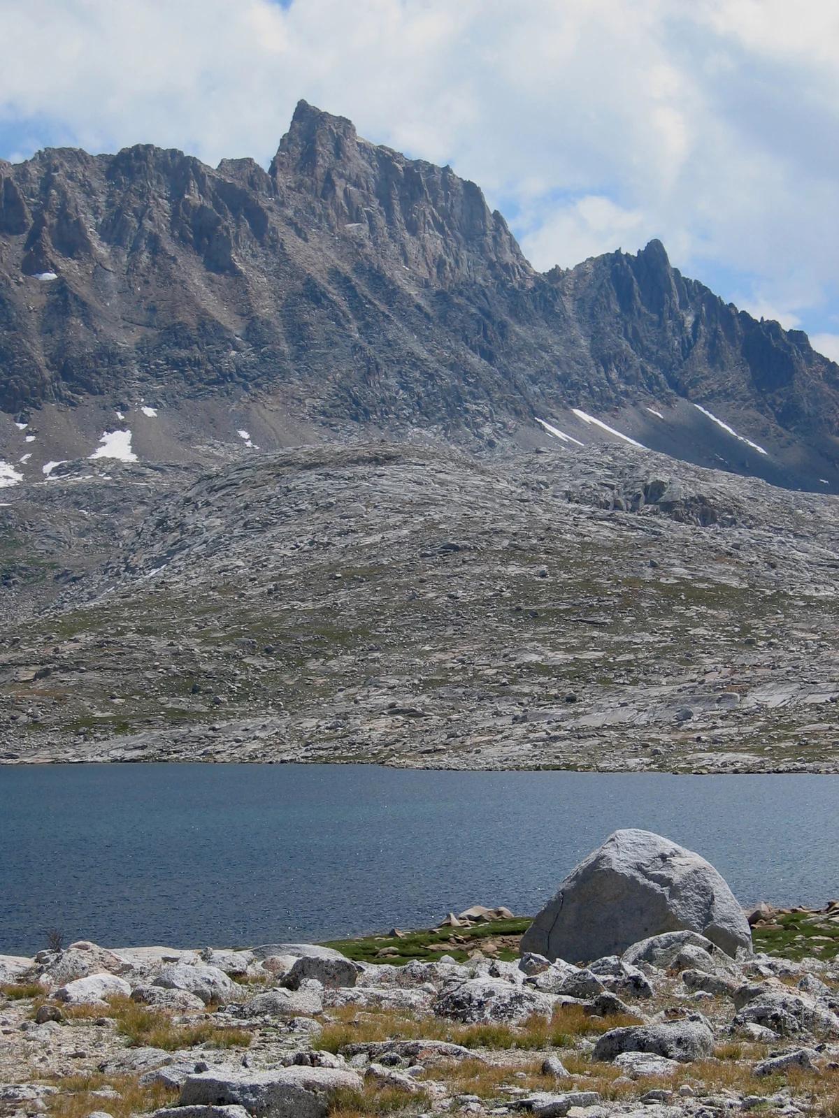
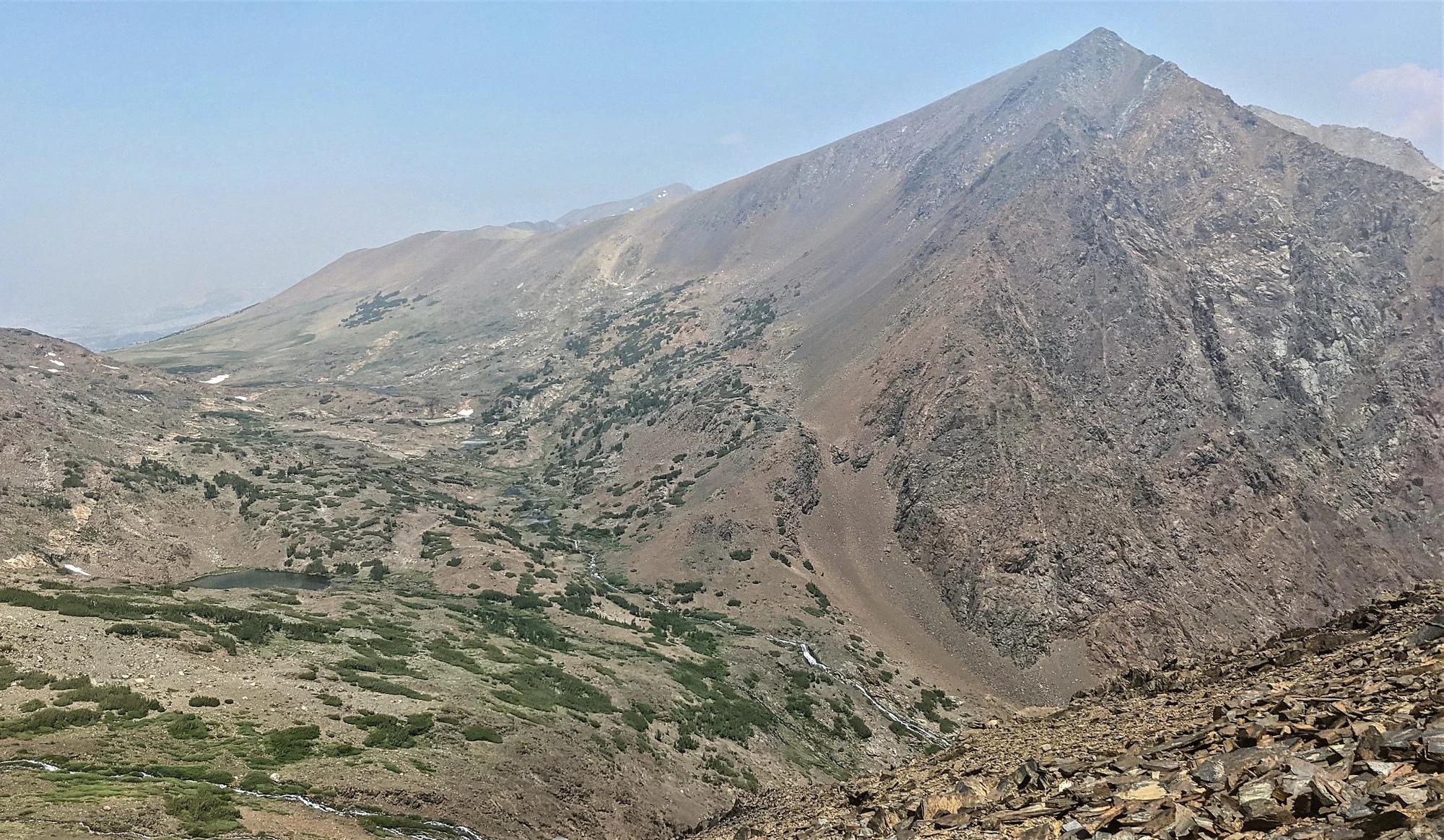
Verified California peak at 11,824 ft in Inyo National Forest (Yosemite & Central Sierra).
Photo: Frank Kovalchek from Anchorage, Alaska, USA · CC BY 2.0
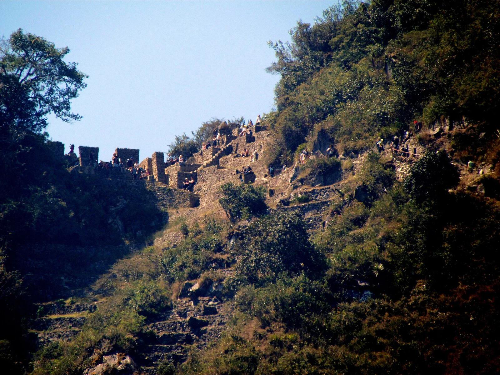
Historic Sanctuary of Machu Picchu · Peru & Central Andes · Peru
The world's most famous ancient footpath, crossing high Andean passes, cloud forests, and ruins to culminate at the panoramic Sun Gate above Machu Picchu.
Photo: bobistraveling · CC BY 2.0
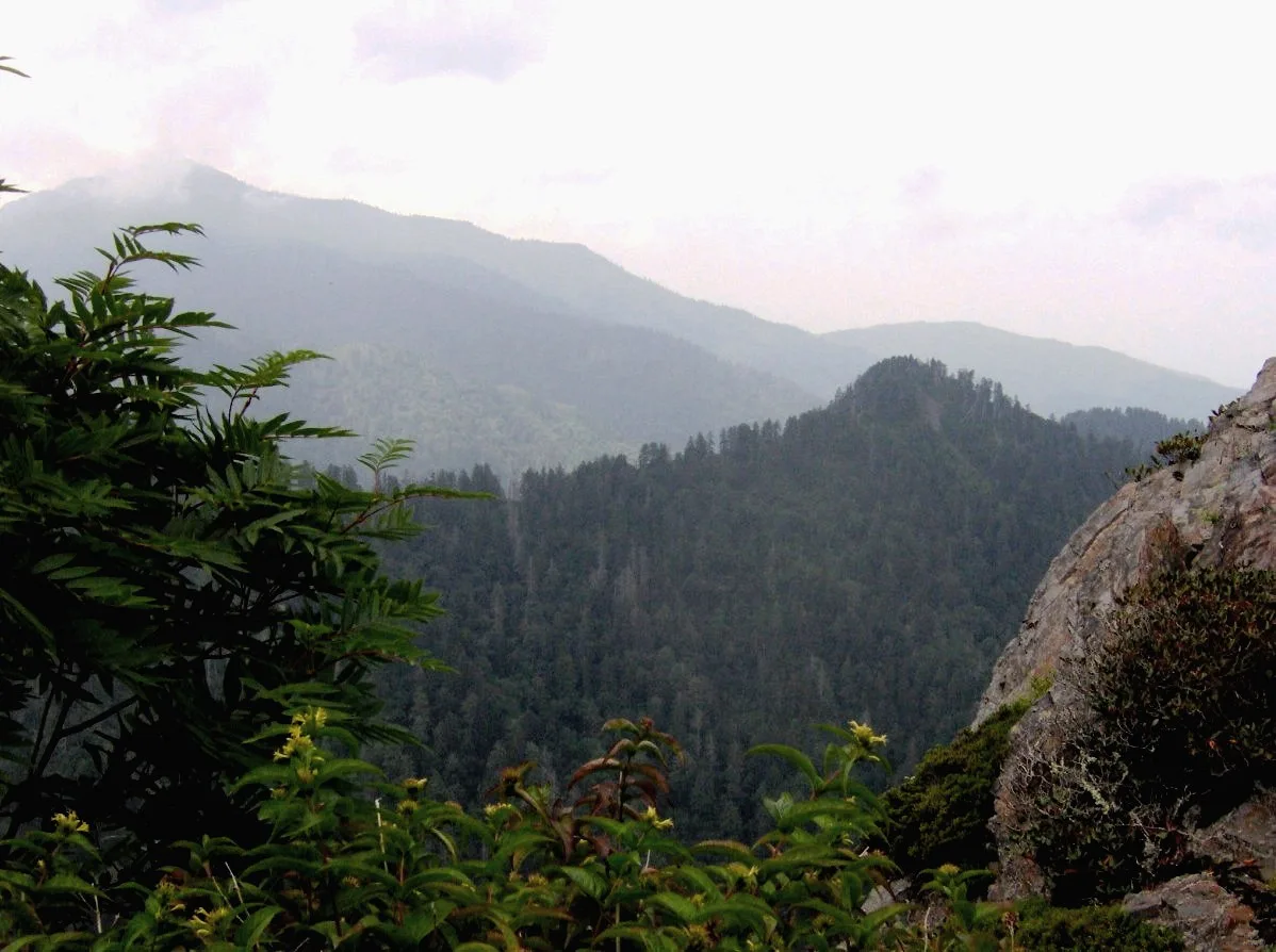
Great Smoky Mountains National Park · Appalachian & Blue Ridge · Tennessee
Dramatic Anakeesta slate crag exposed by the 1925 logging fire and 1929 cloudburst, jutting out over the North Carolina/Tennessee divide.
Photo: Brian Stansberry · CC BY 2.5
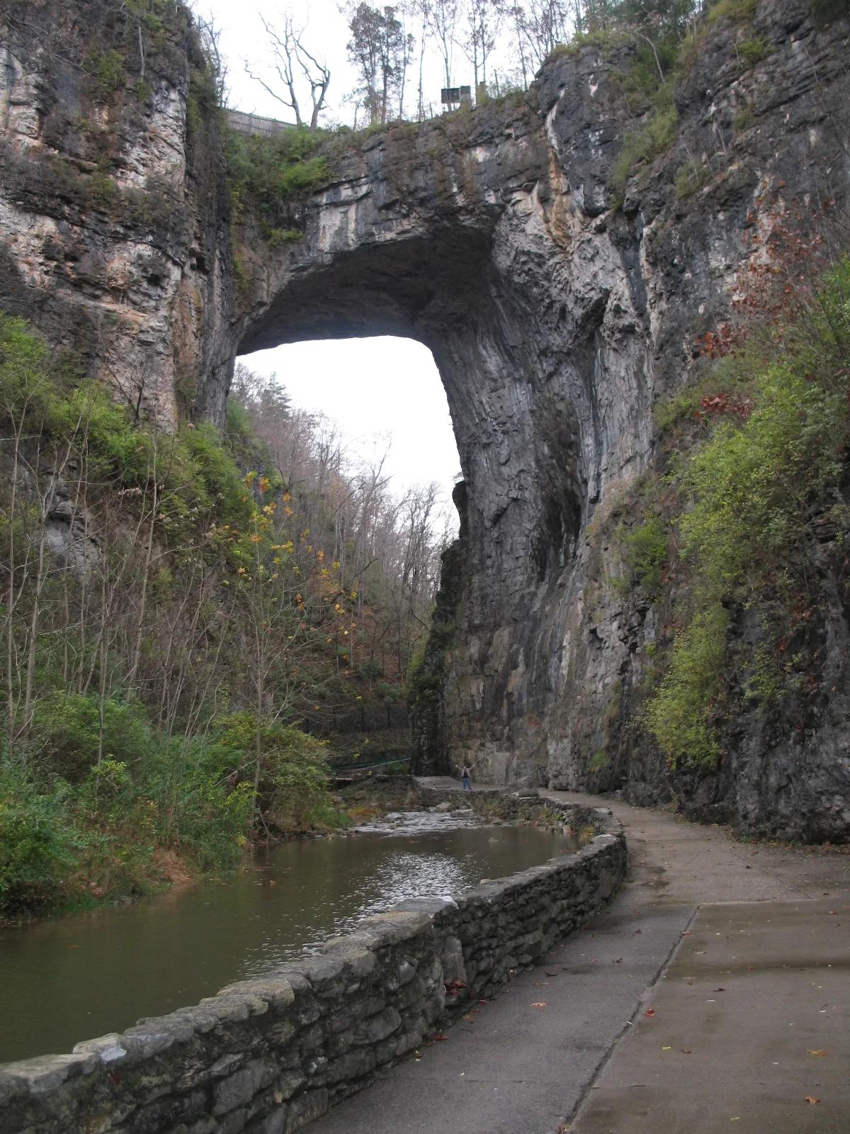
Natural Bridge State Park · Appalachian & Blue Ridge · Virginia
215-foot-high natural Ordovician limestone bridge carved by Cedar Creek in the Shenandoah Valley.
Photo: Originally uploaded by Bill (Transferred by rohith_goura) · CC BY 2.5
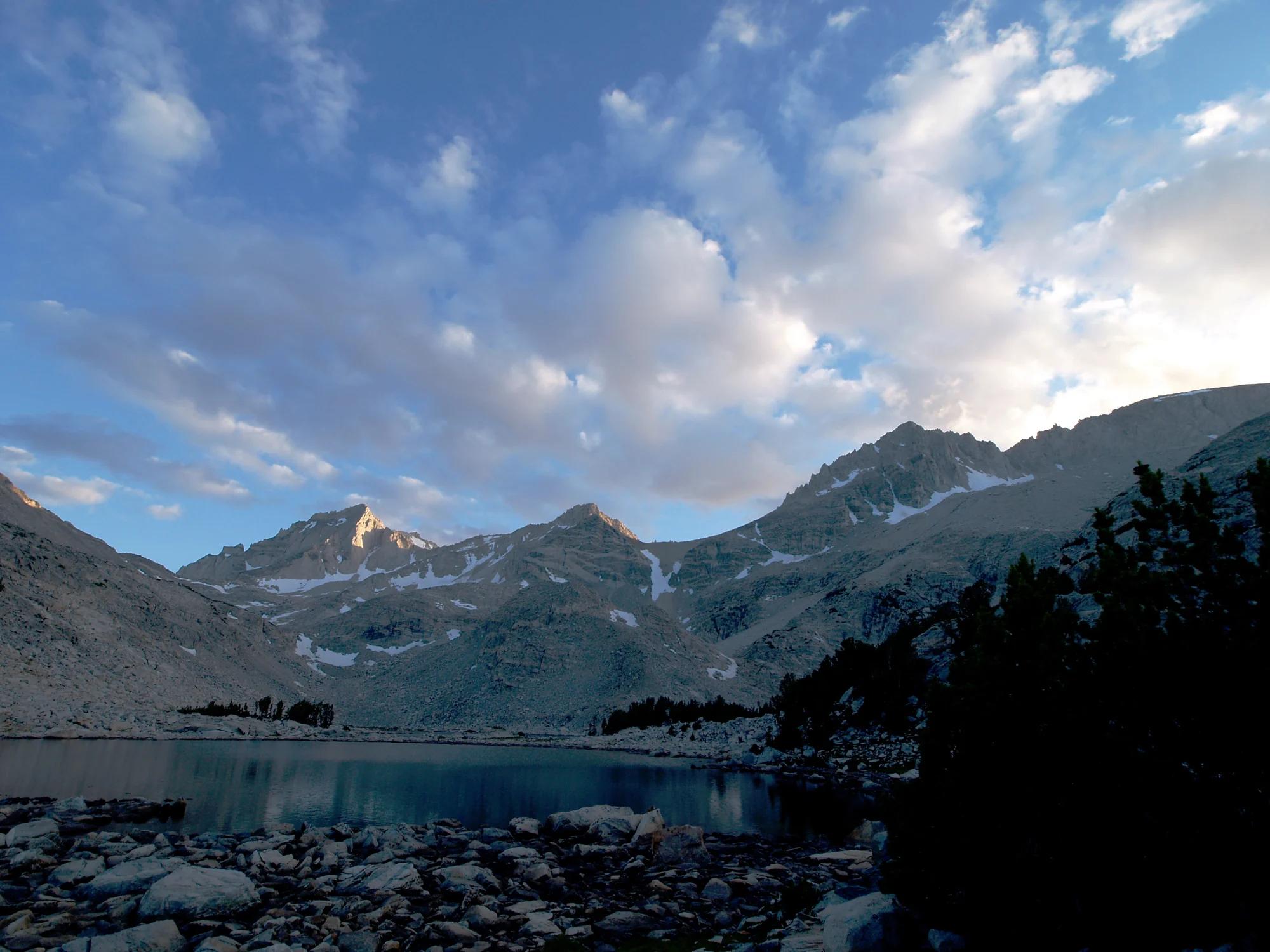
Inyo National Forest · Yosemite & Central Sierra
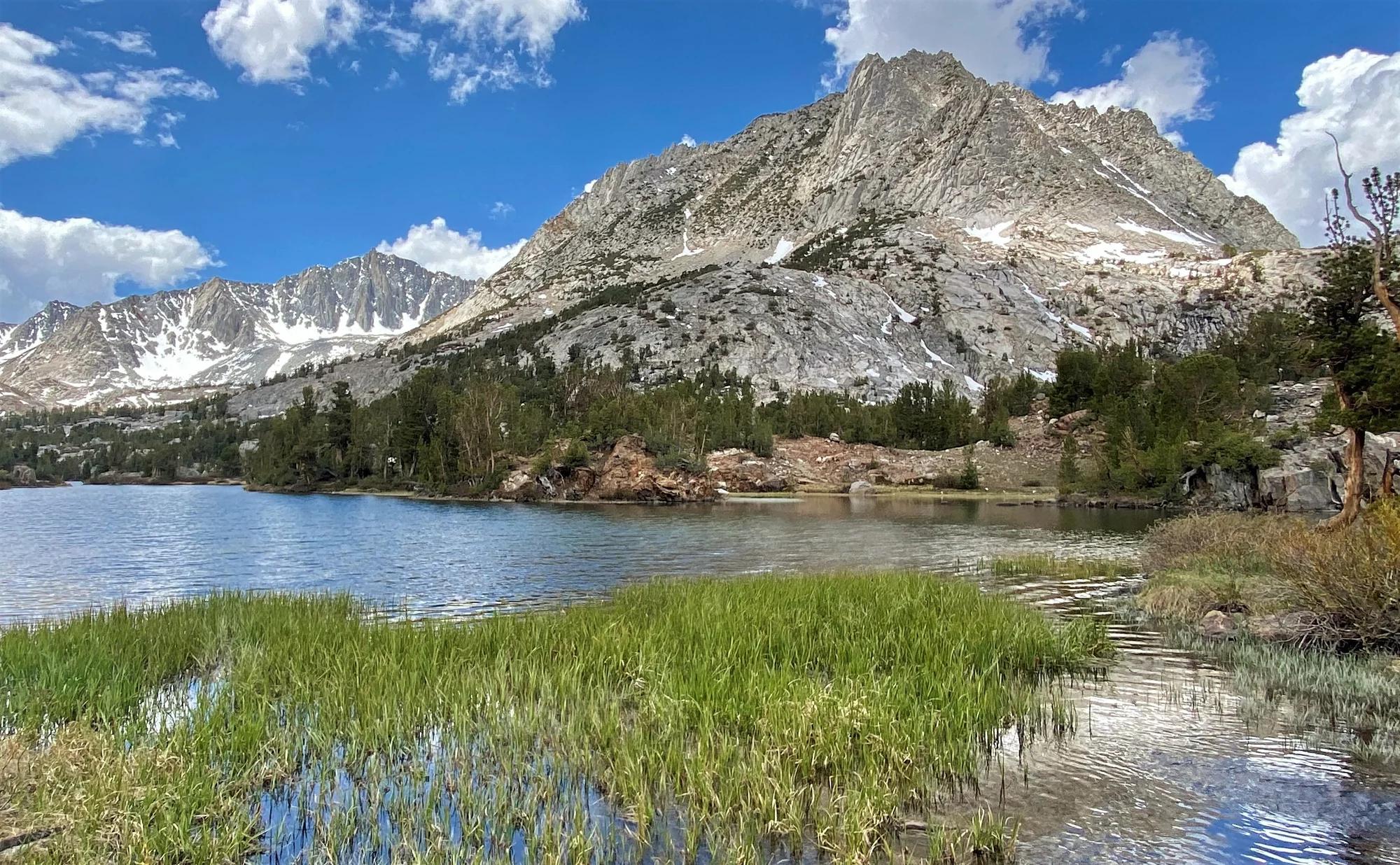
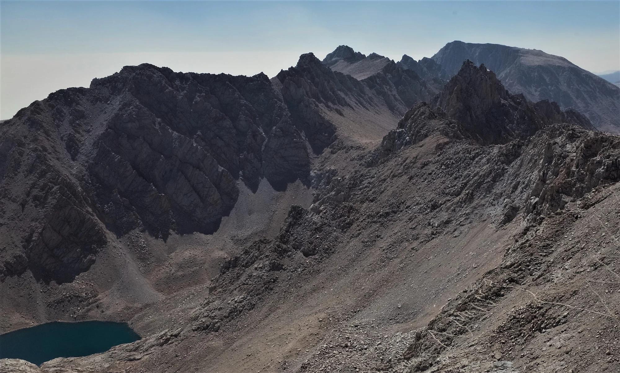
Verified California peak at 13,458 ft in Inyo National Forest (Yosemite & Central Sierra).
Photo: Jonathan Fox from Carson City, United States · CC BY-SA 2.0
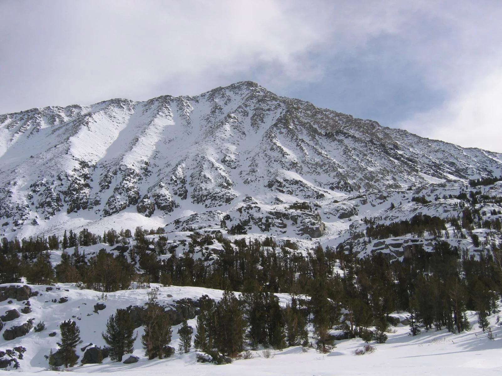
Inyo National Forest · Yosemite & Central Sierra
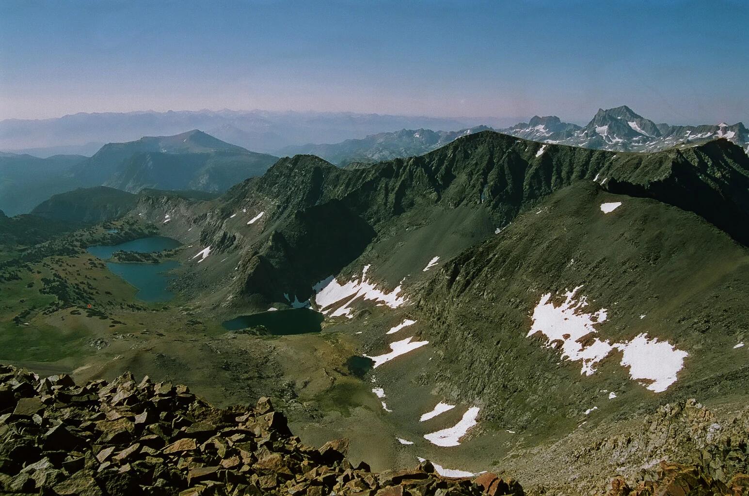
Verified California peak at 13,734 ft in Inyo National Forest (Yosemite & Central Sierra).
Photo: Gregory Bryson from San Diego, CA, USA · CC BY 2.0
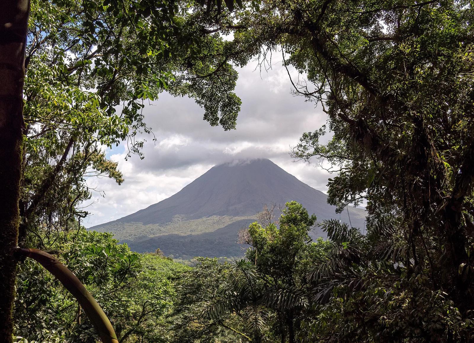
Arenal Volcano National Park · Costa Rica, Brazil & Latin America · Costa Rica
Iconic symmetrical stratovolcano rising dramatically above lush rainforest canopies, hanging bridges, and the 70-metre plunge pool of La Fortuna Waterfall.
Photo: Rhododendrites · CC BY-SA 4.0