



Parque Regional Municipal Volcán Acatenango · Mexico & Central America · Guatemala
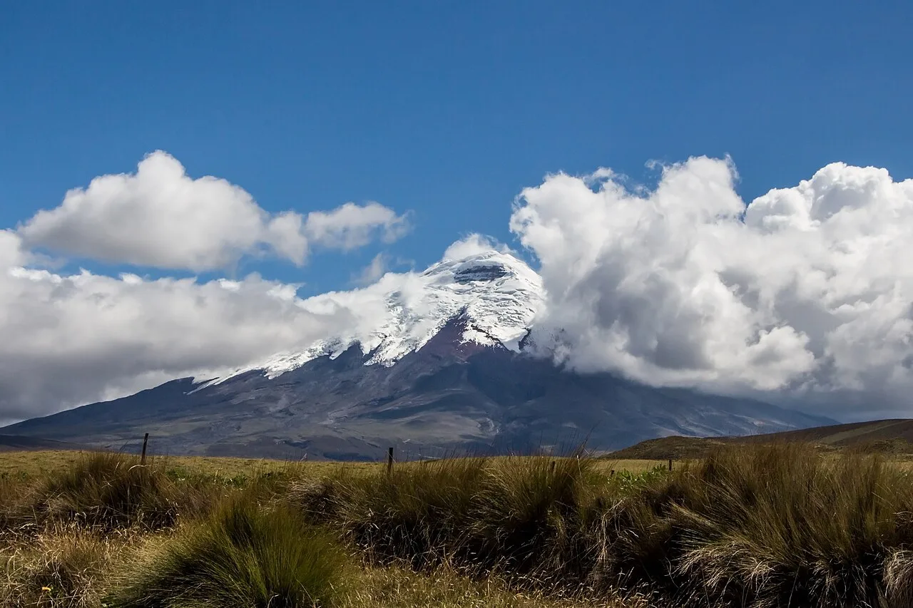
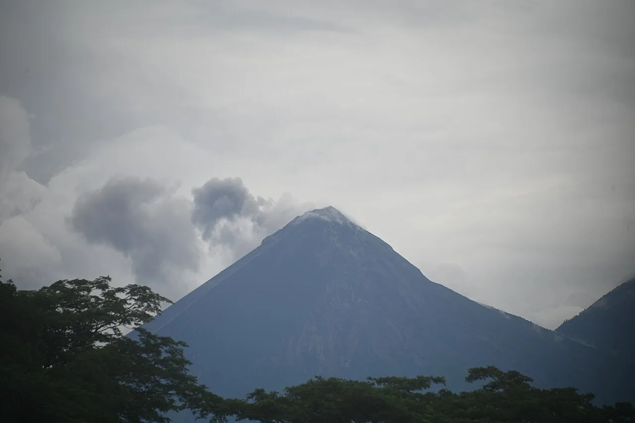
Volcán Acatenango
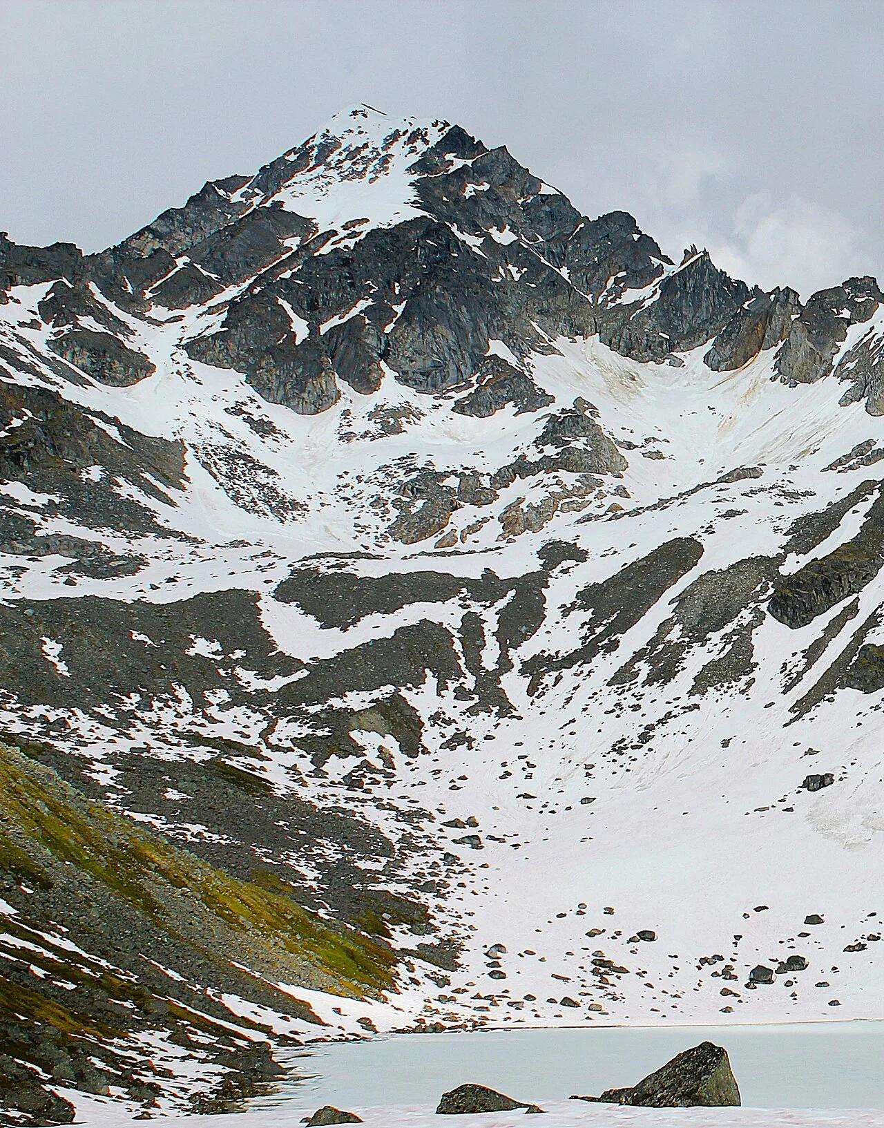
High-altitude cloud-forest and volcanic scree ascent looking directly across at the erupting cone of Volcán de Fuego.
- Route
- 8.6 mi
- Climb
- 5,249 ft
Browse & Discover
Canyon trails, waterfall walks, ridge traverses and high peaks.
1,844 of 2,051 places
Drag to pan. Double-click, pinch or scroll to zoom. Keyboard: arrow keys and +/−. Cards below remain available.
Loading map… Browse the spot cards below at any time.

Joshua Tree National Park
A granite arch in the White Tank monzogranite, reached by a short sandy trail from the Twin Tanks parking area.
John D. from Pasadena, USA · CC BY 2.0. Source & image licence

Joshua Tree National Park
A short desert trail to the historic Barker Dam water-storage structure in Joshua Tree National Park.
Hannah Schwalbe / NPS · Public domain. Source & image licence

Russian Ridge Open Space Preserve
The highest named summit in San Mateo County, an open grassland top on Russian Ridge with views from the ocean to the Bay.
Justin Dolske from Cupertino, USA · CC BY-SA 2.0. Source & image licence

Eaton Canyon Natural Area
The waterfall at the head of lower Eaton Canyon, reached by a wide wash walk from the Eaton Canyon Nature Center and a final creekside scramble.
[scott.medling or en:user:scott.medling user:scott.medling from California, United States] · CC BY-SA 2.0. Source & image licence

Angeles National Forest
The ruined mountain resort of the Mount Lowe Railway, on a front-range promontory above Altadena at the top of the Lower Sam Merrill Trail.
Lennonrodgers at en.wikipedia · Public domain. Source & image licence

Escondido Canyon Park
A multi-tiered waterfall in Escondido Canyon above Malibu. The maintained trail ends at the base of the mossy lower tier.
Santa Monica Mountains National Recreation Area · Public domain. Source & image licence

Inyo National Forest
A chain of small alpine lakes at the head of Little Lakes Valley in the John Muir Wilderness, below the 13,000-foot peaks of the Bear Creek Spire cirque.
Jane S. Richardson (talk · contribs) · CC BY-SA 3.0. Source & image licence

Angeles National Forest
A high saddle and five-way trail junction on the Cucamonga Wilderness ridge, at the top of the steady climb up Icehouse Canyon.
Jason Hollinger · CC BY 2.0. Source & image licence

Mount Tamalpais Watershed
A winter-and-spring cascade on Cataract Creek just below the Laurel Dell picnic area, reached downhill along the Cataract Trail from Rock Spring.
Richard Wood · CC BY-SA 3.0. Source & image licence

Joshua Tree National Park
One of the best-preserved stamp mills in Joshua Tree National Park, at the site of the Lost Horse gold mine.
Joseph from Cabin On The Road, USA · CC BY-SA 2.0. Source & image licence

Angeles National Forest
A waterfall of about fifty feet filling the head of a narrow, shaded canyon, a short walk upstream from Millard Campground.
Region 5 Photography · Public domain. Source & image licence

Mission Peak Regional Preserve
The bare grassland summit above Fremont, marked by the Mission Peeker sighting pole and climbed by the Hidden Valley Trail from Stanford Avenue.
Oleg Alexandrov · CC BY-SA 3.0. Source & image licence

Angeles National Forest
The highest summit of the San Gabriel Mountains, reached from Baldy Notch along the exposed Devils Backbone ridge.
Darkest tree · CC BY-SA 4.0. Source & image licence

Mount Tamalpais State Park
The summit of Mount Tamalpais, a short plank-and-rock climb from the East Peak visitor area to the fire lookout above the whole Bay Area.
Chris Koerner from St. Louis, USA · CC BY-SA 2.0. Source & image licence

Inyo National Forest
A quiet lake in the Ansel Adams Wilderness beneath Parker Peak, reached through sage and an aspen-lined creek canyon off the June Lake Loop.
Mark Gunn from Novato, California, USA · CC BY 2.0. Source & image licence

Pfeiffer Big Sur State Park
A 60-foot waterfall on Pfeiffer-Redwood Creek, reached through the redwoods of Pfeiffer Big Sur State Park on a trail twice rebuilt — after the 2008 Basin Complex Fire and again after 2023 storm damage.
Joe Mabel · CC BY-SA 4.0. Source & image licence

Joshua Tree National Park
A signed summit trail in Joshua Tree National Park, climbing from Park Boulevard to Ryan Mountain.
Robb Hannawacker / National Park Service · Public domain. Source & image licence

Santa Monica Mountains National Recreation Area
The highest point in the Santa Monica Mountains, climbed from the Mishe Mokwa trailhead along the Backbone Trail at Circle X Ranch.
Wasquewhat · CC BY-SA 4.0. Source & image licence

Angeles National Forest
A 50-foot single drop into a shallow plunge pool, 1.7 mi up Big Santa Anita Canyon. Shaded the entire way in. The work is all on the walk out.
U.S. Department of Agriculture / USDA USFS · CC BY 2.0. Source & image licence

Point Reyes National Seashore
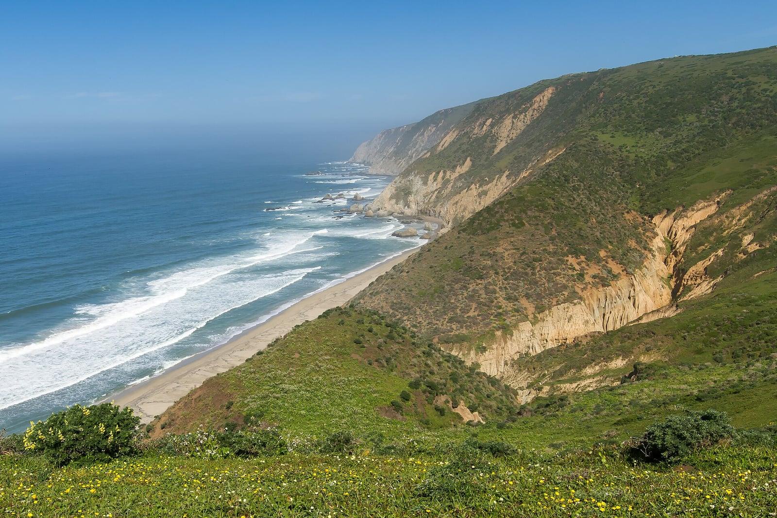
The northern tip of the Point Reyes peninsula, reached across the open bluffs of the Tomales Point Tule Elk Reserve.
Frank Schulenburg · CC BY-SA 4.0. Source & image licence

Santa Monica Mountains National Recreation Area
The ruins of the Roberts family ranch house at the end of the canyon-floor trail in Solstice Canyon, beside a small seasonal waterfall.
George Heras / Santa Monica Mountains National Recreation Area · Public domain. Source & image licence

Pfeiffer Big Sur State Park
An overlook above the Big Sur River valley, looking north over the redwoods toward Point Sur and the Pacific.
King of Hearts · CC BY-SA 3.0. Source & image licence

Sinks Canyon State Park (Lander) · Rocky Mountains · Wyoming
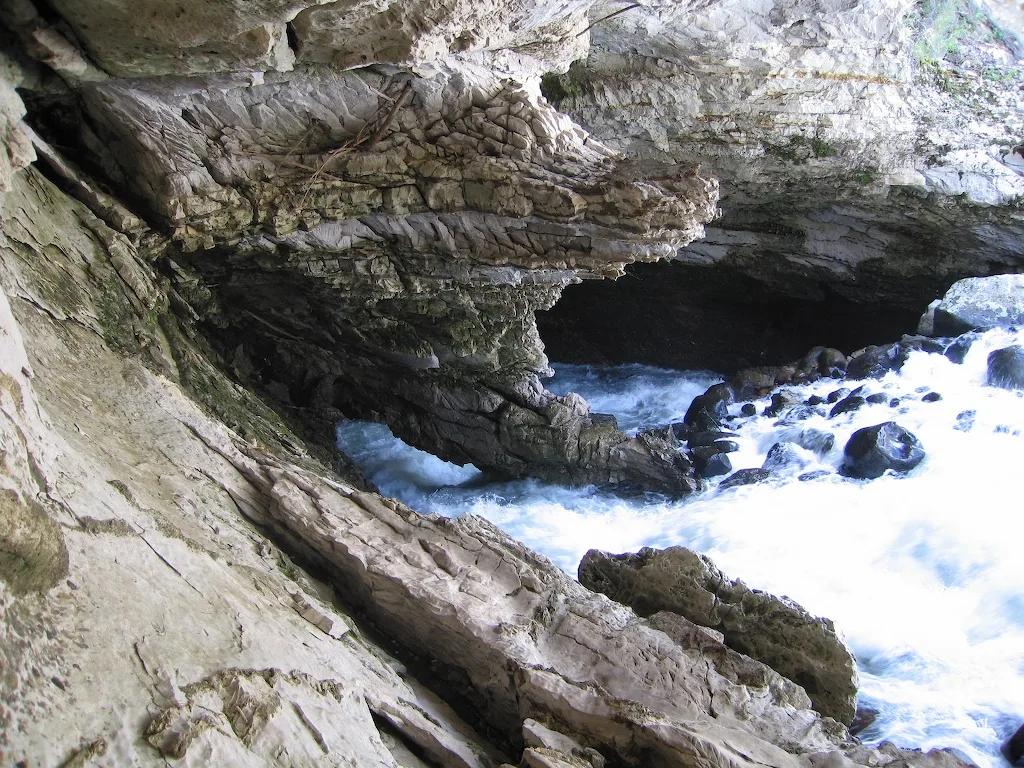
Karst canyon where the Middle Fork Popo Agie River vanishes into a Madison Limestone cavern and reappears in a trout-filled pool downstream.
Photo: Brian Harms Brian Harms · CC BY-SA 3.0

Custer State Park / Norbeck Wildlife Preserve · Black Hills · South Dakota
A granite spire summit scramble navigating a narrow rock cleft to look directly across at the iconic granite pinnacles of the Cathedral Spires and Black Elk Peak.
Photo: User:Jsoo1 · CC BY-SA 3.0

Ice Age National Scenic Trail (Lodi) · Driftless Area · Wisconsin
Prominent 400-foot flat-topped sandstone and dolomite butte crowned by red cedar glades and panoramic 360-degree views of the Wisconsin River valley.
Photo: Wackybadger · CC BY-SA 3.0

Halibut Point State Park & Reservation · Cape Ann / North Shore · Massachusetts
A 60-foot water-filled granite quarry abuts open coastal ledges with expansive views to Mount Agamenticus in Maine.
Photo: 4300streetcar · CC BY 4.0

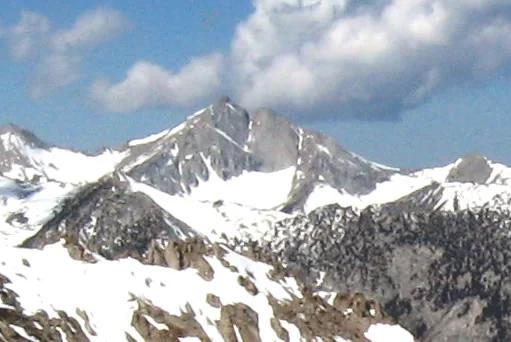
Los Padres National Forest · Central Coast
Verified California peak at 6,814 ft in Los Padres National Forest (Central Coast).
Photo: Clinton Steeds from Los Angeles, USA · CC BY 2.0

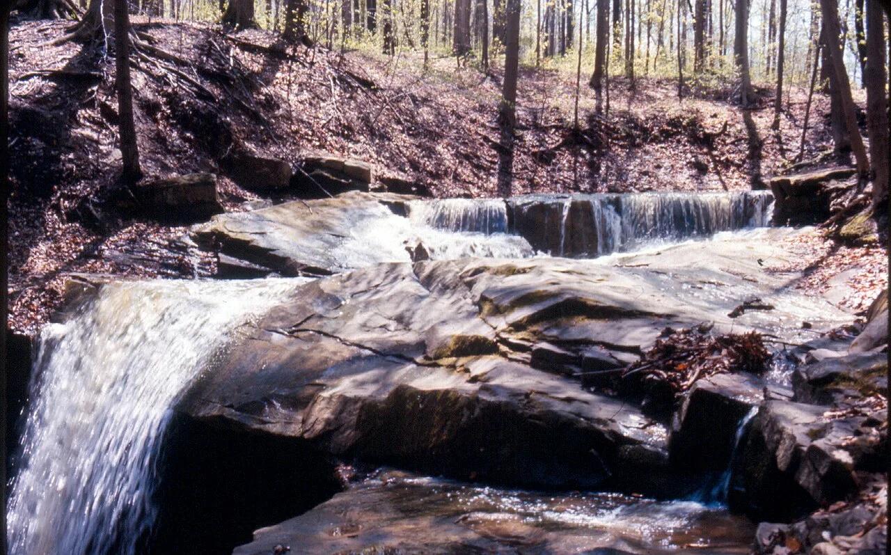
Oak Mountain State Park (Pelham) · Appalachian & Blue Ridge · Alabama
Spring-fed 65-foot sandstone waterfall and high Double Oak Mountain cliff overlook in Alabama's largest state park, paired with IMBA Red Trail singletrack.
Photo: Ghyoungb01 · Public domain

Central Coast
Verified California peak at 902 ft in Central Coast.
Photo: No machine-readable author provided. Kjkolb assumed (based on copyright claims). · CC BY 2.5

Chattahoochee-Oconee National Forest · Appalachian & Blue Ridge · Georgia
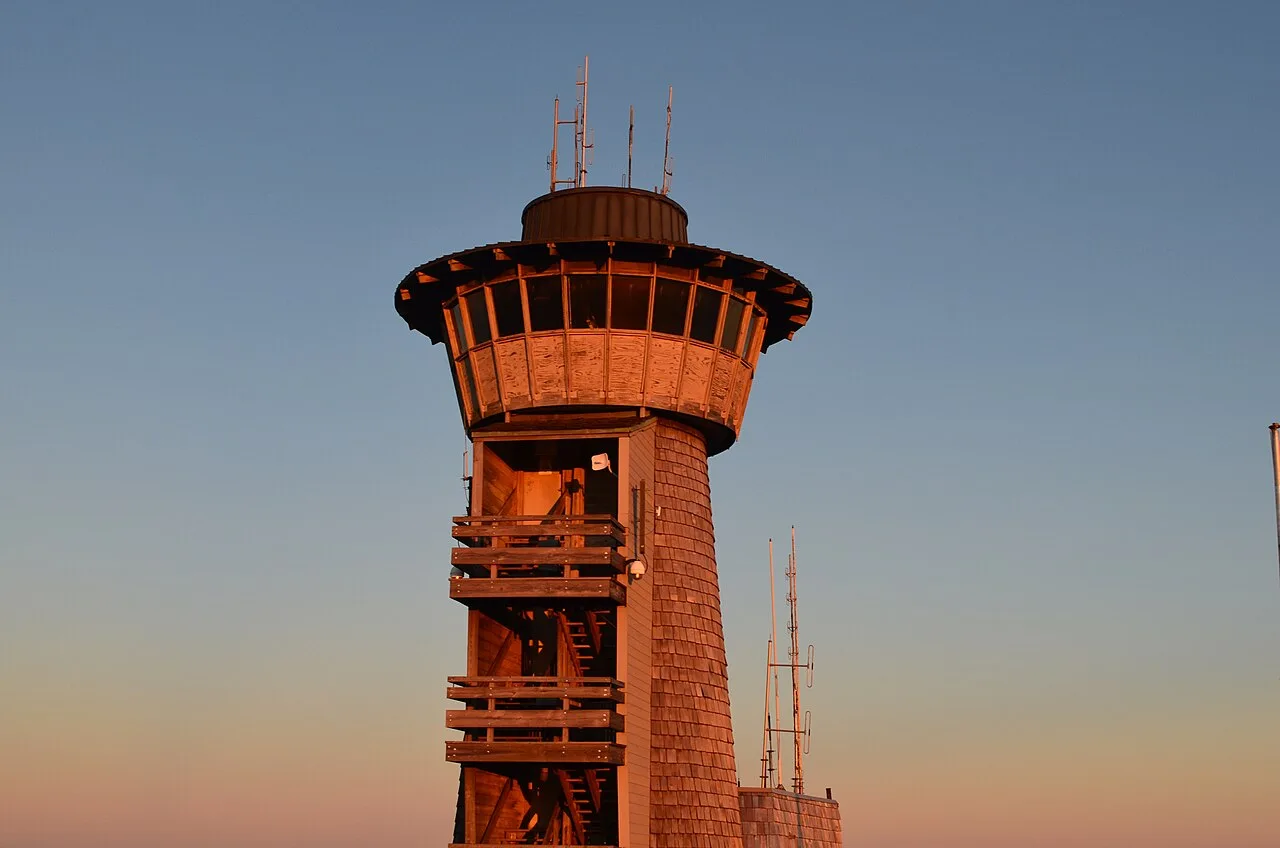
Highest natural point in Georgia (4,784 ft), where a steep stunted-oak and rhododendron trail climbs to a 360-degree four-state observation deck.
Photo: Anthony Rizzo · CC BY-SA 4.0

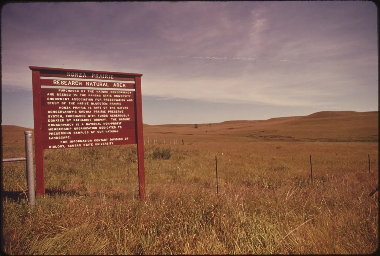
Konza Prairie Biological Station (Manhattan) · Flint Hills · Kansas
World-class native tallgrass prairie research reserve where limestone terraces and gallery forests line the pristine watershed of Kings Creek.
Photo: Patricia DuBose Duncan · Public domain

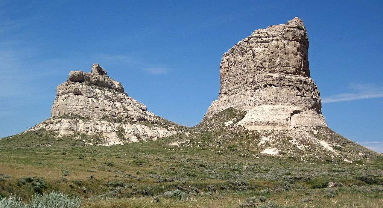
Courthouse and Jail Rocks State Historical Site (Bridgeport) · Panhandle · Nebraska
Monumental 400-foot Brule clay and sandstone monoliths visible for 40 miles that served as celebrated milestones for Oregon and Mormon Trail pioneers.
Photo: James St. John · CC BY 2.0

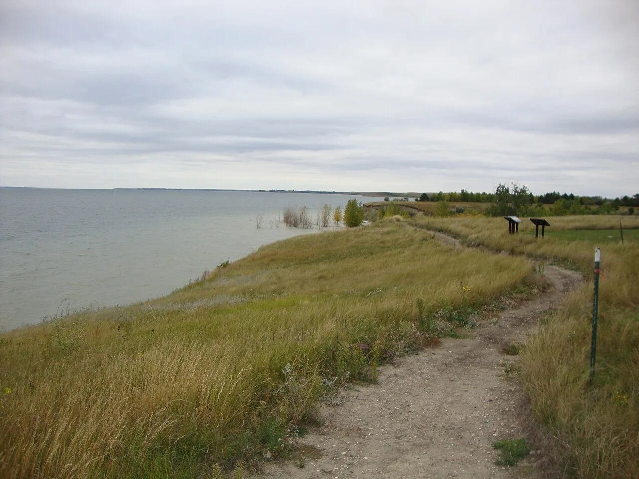
Lake Sakakawea State Park (Riverdale) · Central North Dakota · North Dakota
The official western terminus of the 4,800-mile North Country National Scenic Trail, tracing rocky bluffs over the massive blue waters of Lake Sakakawea.
Photo: David Becker · CC BY 2.0

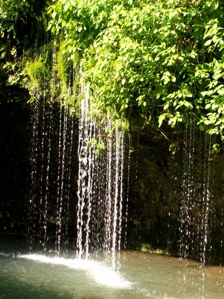
Natural Falls State Park (Colcord) · Ozark Plateau · Oklahoma
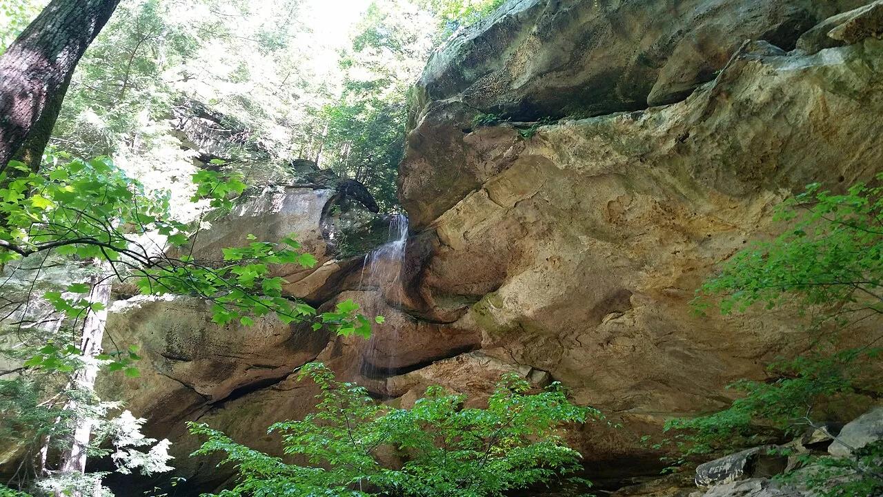
A 77-foot waterfall tumbling down a moss- and fern-draped chasm into a turquoise pool, featured in the 1974 film 'Where the Red Fern Grows'.
Photo: friggy_30 from s.w. missouri, USA · CC BY 2.0