Waterfall
Russian Gulch State Park · Redwood Empire & North Coast
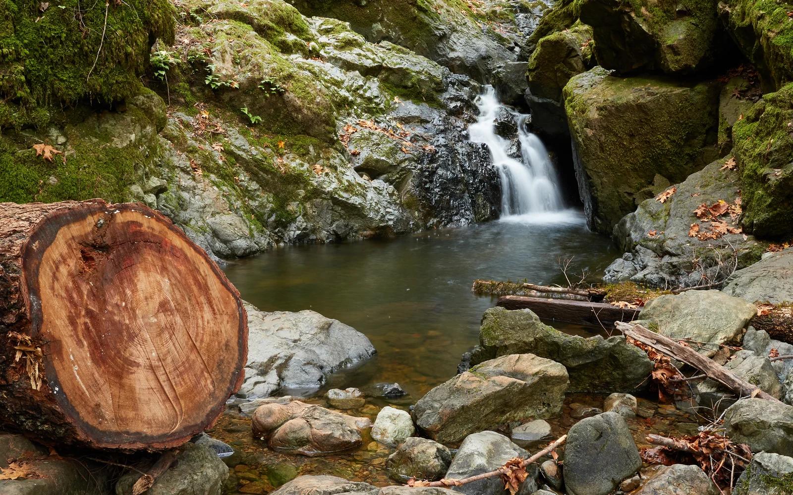
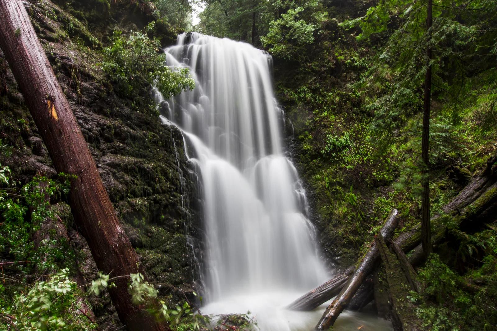
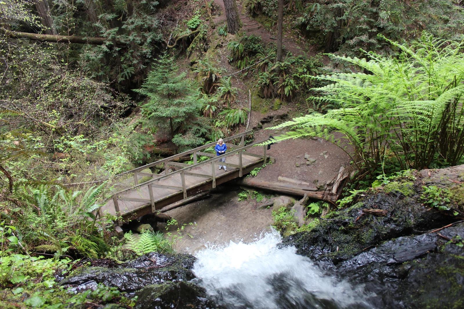
Russian Gulch Waterfall
A 36-foot waterfall tumbling down a verdant mossy rock wall hidden deep in a fern-draped coastal redwood canyon near Mendocino.
- Route
- 5.4 mi
- Climb
- 299 ft
Browse & Discover
Canyon trails, waterfall walks, ridge traverses and high peaks.
1,575 of 2,051 places
Drag to pan. Double-click, pinch or scroll to zoom. Keyboard: arrow keys and +/−. Cards below remain available.
Loading map… Browse the spot cards below at any time.

Joshua Tree National Park
A granite arch in the White Tank monzogranite, reached by a short sandy trail from the Twin Tanks parking area.
John D. from Pasadena, USA · CC BY 2.0. Source & image licence

Joshua Tree National Park
A short desert trail to the historic Barker Dam water-storage structure in Joshua Tree National Park.
Hannah Schwalbe / NPS · Public domain. Source & image licence

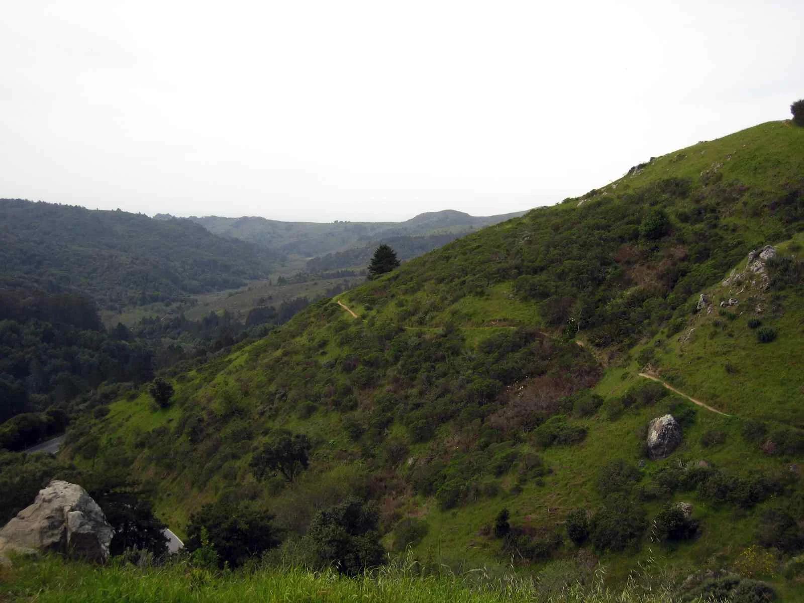
Russian Ridge Open Space Preserve
The highest named summit in San Mateo County, an open grassland top on Russian Ridge with views from the ocean to the Bay.
Justin Dolske from Cupertino, USA · CC BY-SA 2.0. Source & image licence

Eaton Canyon Natural Area
The waterfall at the head of lower Eaton Canyon, reached by a wide wash walk from the Eaton Canyon Nature Center and a final creekside scramble.
[scott.medling or en:user:scott.medling user:scott.medling from California, United States] · CC BY-SA 2.0. Source & image licence

Angeles National Forest
The ruined mountain resort of the Mount Lowe Railway, on a front-range promontory above Altadena at the top of the Lower Sam Merrill Trail.
Lennonrodgers at en.wikipedia · Public domain. Source & image licence

Escondido Canyon Park
A multi-tiered waterfall in Escondido Canyon above Malibu. The maintained trail ends at the base of the mossy lower tier.
Santa Monica Mountains National Recreation Area · Public domain. Source & image licence

Inyo National Forest
A chain of small alpine lakes at the head of Little Lakes Valley in the John Muir Wilderness, below the 13,000-foot peaks of the Bear Creek Spire cirque.
Jane S. Richardson (talk · contribs) · CC BY-SA 3.0. Source & image licence

Angeles National Forest
A high saddle and five-way trail junction on the Cucamonga Wilderness ridge, at the top of the steady climb up Icehouse Canyon.
Jason Hollinger · CC BY 2.0. Source & image licence

Mount Tamalpais Watershed
A winter-and-spring cascade on Cataract Creek just below the Laurel Dell picnic area, reached downhill along the Cataract Trail from Rock Spring.
Richard Wood · CC BY-SA 3.0. Source & image licence

Joshua Tree National Park
One of the best-preserved stamp mills in Joshua Tree National Park, at the site of the Lost Horse gold mine.
Joseph from Cabin On The Road, USA · CC BY-SA 2.0. Source & image licence

Angeles National Forest
A waterfall of about fifty feet filling the head of a narrow, shaded canyon, a short walk upstream from Millard Campground.
Region 5 Photography · Public domain. Source & image licence

Mission Peak Regional Preserve
The bare grassland summit above Fremont, marked by the Mission Peeker sighting pole and climbed by the Hidden Valley Trail from Stanford Avenue.
Oleg Alexandrov · CC BY-SA 3.0. Source & image licence

Angeles National Forest
The highest summit of the San Gabriel Mountains, reached from Baldy Notch along the exposed Devils Backbone ridge.
Darkest tree · CC BY-SA 4.0. Source & image licence

Mount Tamalpais State Park
The summit of Mount Tamalpais, a short plank-and-rock climb from the East Peak visitor area to the fire lookout above the whole Bay Area.
Chris Koerner from St. Louis, USA · CC BY-SA 2.0. Source & image licence

Inyo National Forest
A quiet lake in the Ansel Adams Wilderness beneath Parker Peak, reached through sage and an aspen-lined creek canyon off the June Lake Loop.
Mark Gunn from Novato, California, USA · CC BY 2.0. Source & image licence

Pfeiffer Big Sur State Park
A 60-foot waterfall on Pfeiffer-Redwood Creek, reached through the redwoods of Pfeiffer Big Sur State Park on a trail twice rebuilt — after the 2008 Basin Complex Fire and again after 2023 storm damage.
Joe Mabel · CC BY-SA 4.0. Source & image licence
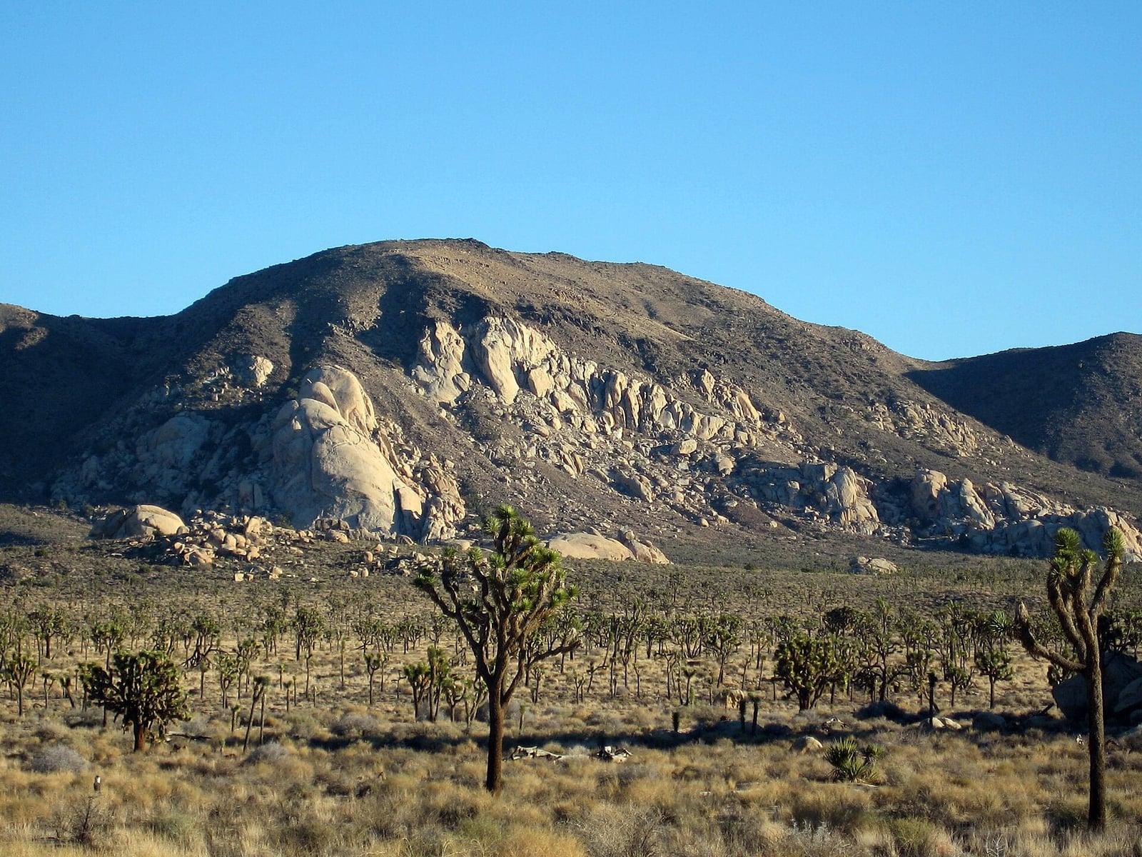
Joshua Tree National Park
A signed summit trail in Joshua Tree National Park, climbing from Park Boulevard to Ryan Mountain.
Robb Hannawacker / National Park Service · Public domain. Source & image licence

Santa Monica Mountains National Recreation Area
The highest point in the Santa Monica Mountains, climbed from the Mishe Mokwa trailhead along the Backbone Trail at Circle X Ranch.
Wasquewhat · CC BY-SA 4.0. Source & image licence

Angeles National Forest
A 50-foot single drop into a shallow plunge pool, 1.7 mi up Big Santa Anita Canyon. Shaded the entire way in. The work is all on the walk out.
U.S. Department of Agriculture / USDA USFS · CC BY 2.0. Source & image licence
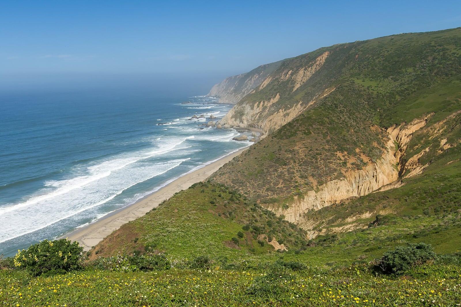
Point Reyes National Seashore
The northern tip of the Point Reyes peninsula, reached across the open bluffs of the Tomales Point Tule Elk Reserve.
Frank Schulenburg · CC BY-SA 4.0. Source & image licence

Santa Monica Mountains National Recreation Area
The ruins of the Roberts family ranch house at the end of the canyon-floor trail in Solstice Canyon, beside a small seasonal waterfall.
George Heras / Santa Monica Mountains National Recreation Area · Public domain. Source & image licence

Pfeiffer Big Sur State Park
An overlook above the Big Sur River valley, looking north over the redwoods toward Point Sur and the Pacific.
King of Hearts · CC BY-SA 3.0. Source & image licence
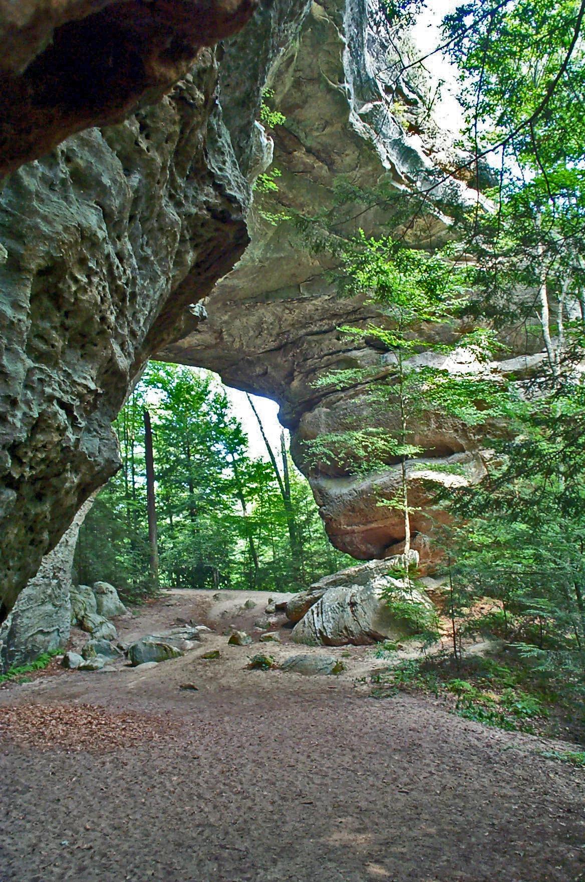
Big South Fork National River and Recreation Area · Appalachian & Blue Ridge · Tennessee
One of the largest natural sandstone bridge complexes in the Eastern United States, featuring 103-foot-high South Arch and 93-foot-wide North Arch.
Photo: NPS Staff · Public domain
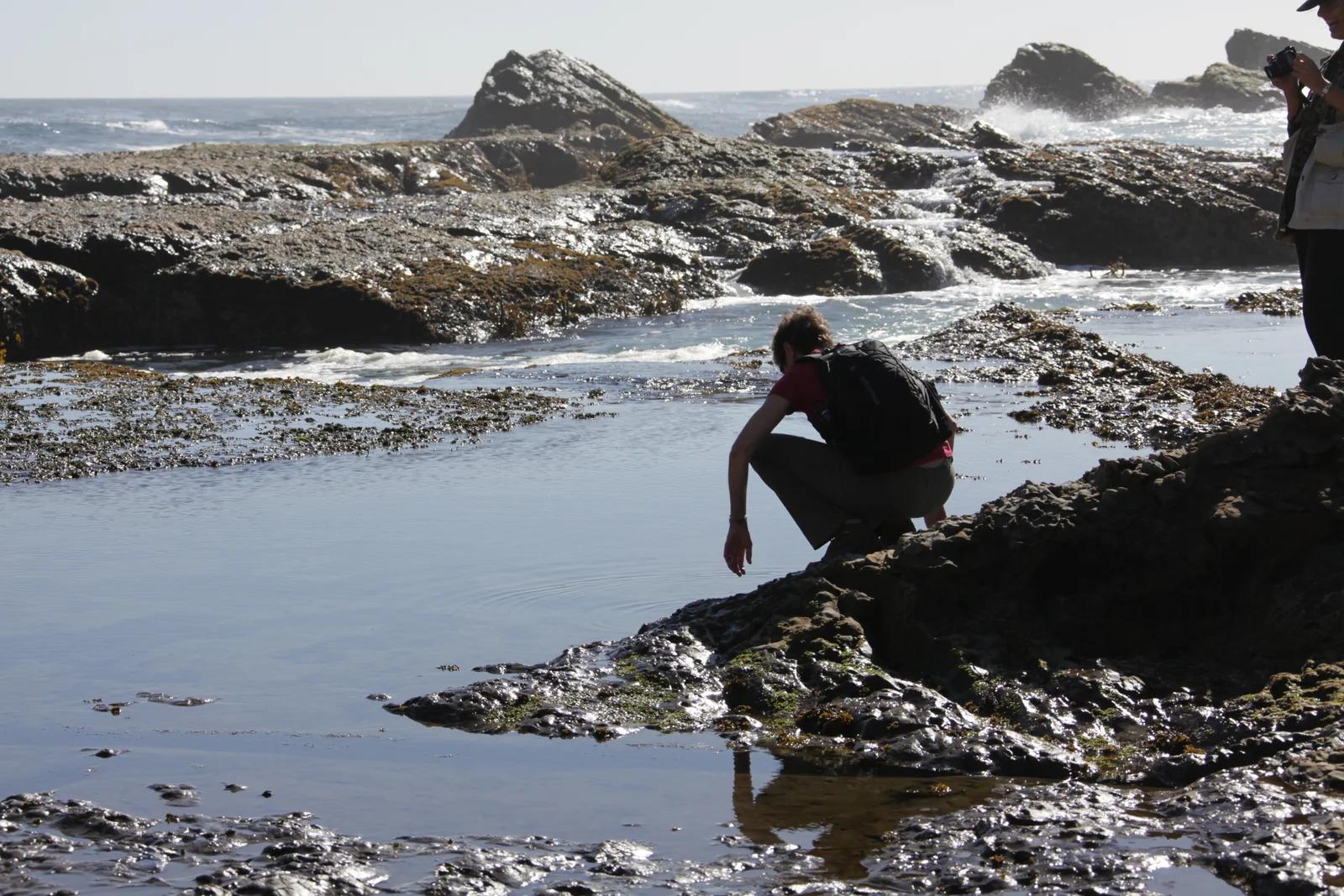
California Coastal National Monument / BLM · Redwood Empire & North Coast
Windswept sea bluffs, blowholes, and offshore sea arches protecting diverse marine wildlife along the rugged Mendocino coastline.
Photo: U.S. Department of the Interior · CC BY-SA 2.0
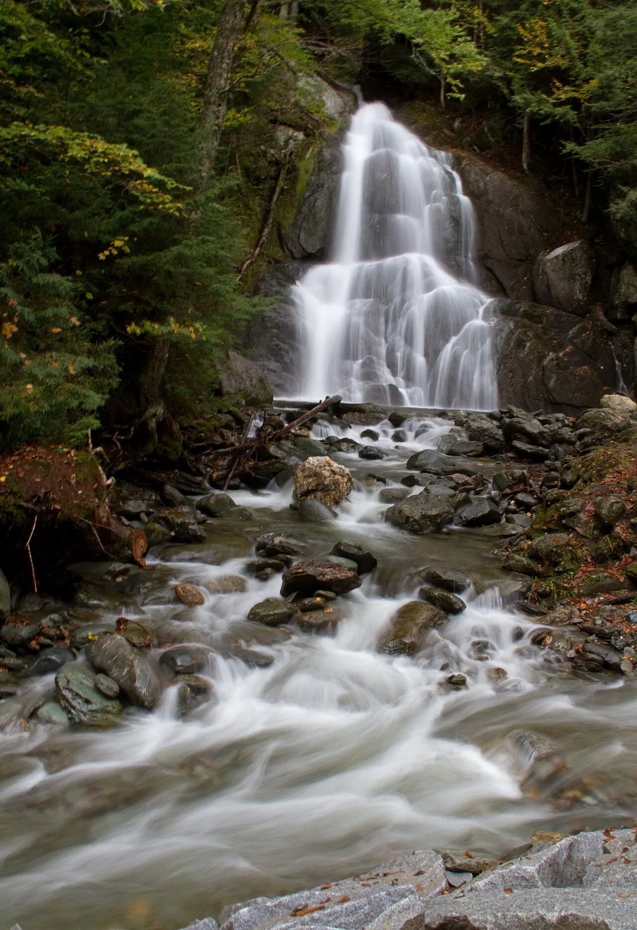
Green Mountain National Forest (Warren) · Northeast & New England · Vermont
Sculpted green-schist bedrock chutes and deep emerald plunge pools along the Mad River in central Vermont.
Photo: Tony Hisgett from Birmingham, UK · CC BY 2.0
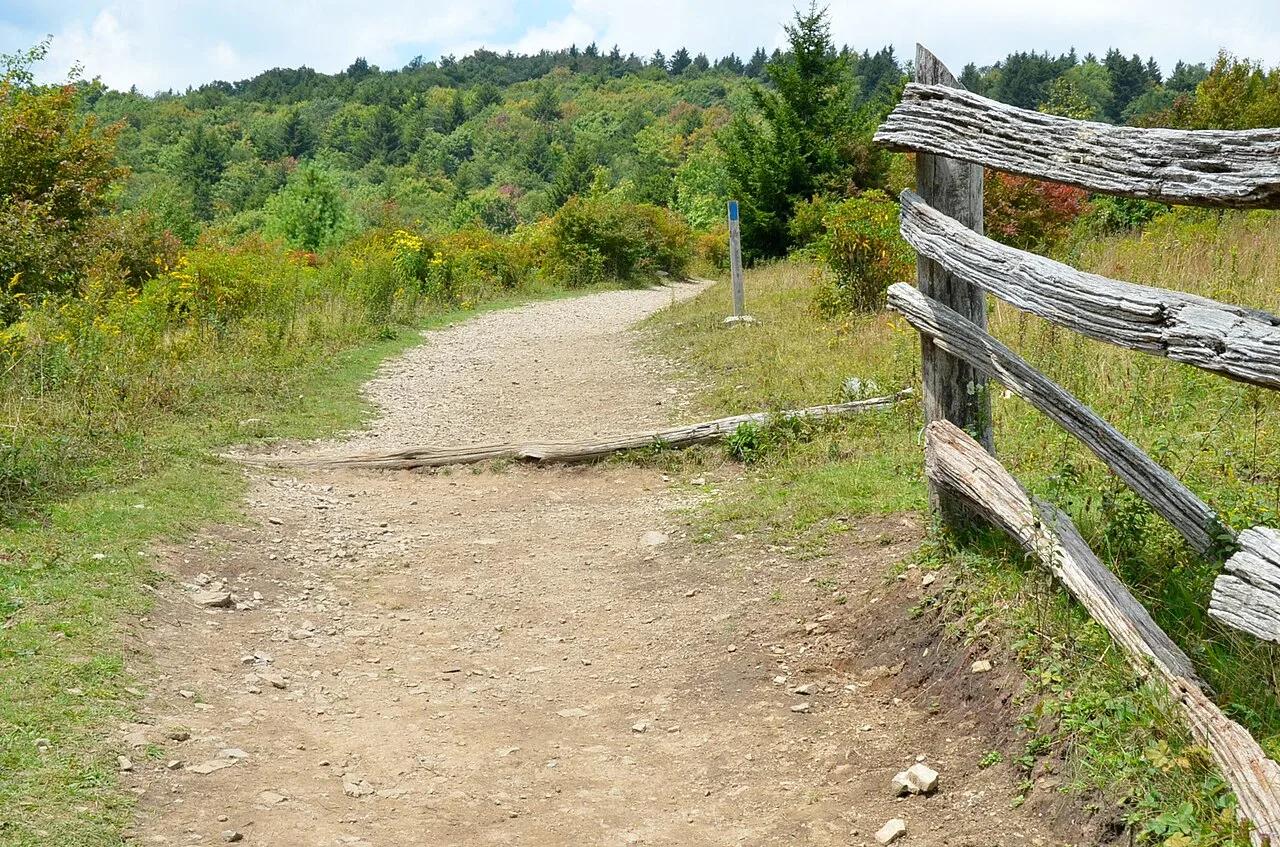
Grayson Highlands State Park / Jefferson NF · Appalachian & Blue Ridge · Virginia
High-elevation granite outcrops and wind-swept subalpine meadows where wild herds of ponies graze along the Appalachian Trail.
Photo: Virginia State Parks · CC BY 2.0
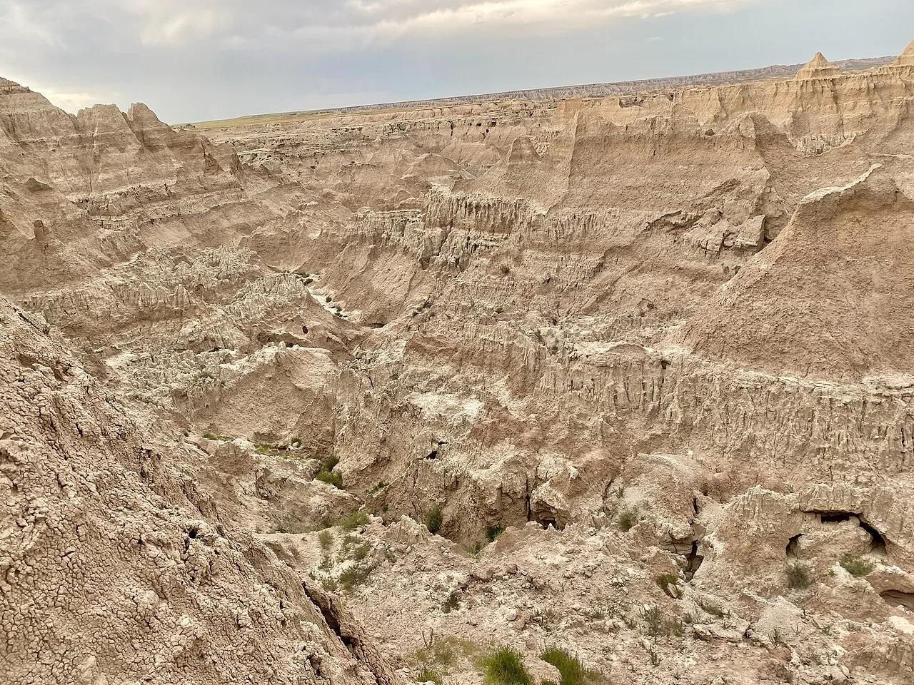
Badlands National Park · Great Plains & Heartland · South Dakota
Dramaticbadlands canyon hike climbing a 50-foot log-and-cable ladder to a cliff-edge 'Notch' window overlooking the White River Valley.
Photo: w_lemay · CC BY-SA 2.0
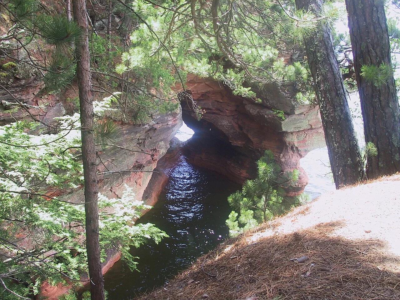
Apostle Islands National Lakeshore (Cornucopia) · Midwest & Great Lakes · Wisconsin
Wave-carved red Devils Island sandstone arches, vaulted chambers, and pillar caves along the crystal waters of Lake Superior.
Photo: Markheffron2 · CC BY-SA 3.0
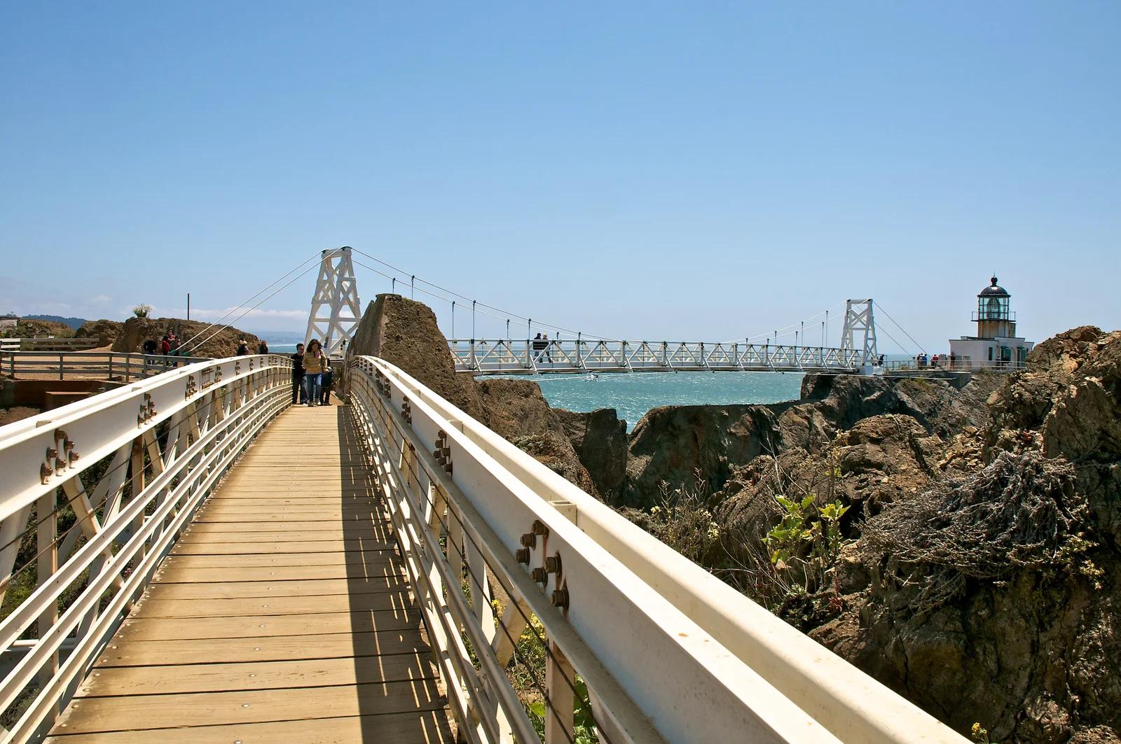
Golden Gate National Recreation Area · San Francisco Bay Area
A dramatic cliffside trail crossing a hand-carved rock tunnel and suspension bridge to the last manned lighthouse on the California coast.
Photo: Don DeBold from San Jose, CA, USA · CC BY 2.0
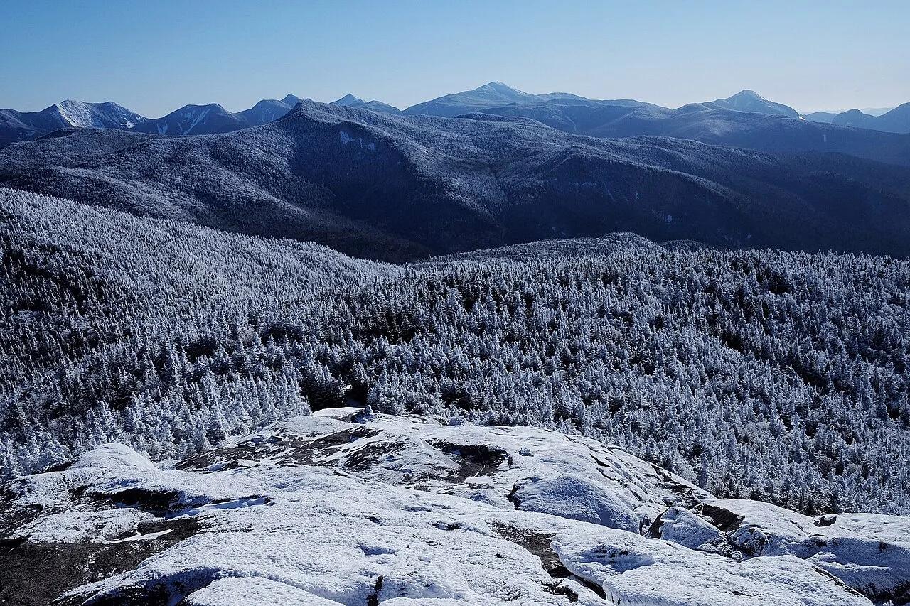
Adirondack High Peaks Wilderness · Adirondacks · New York
A sweeping, 4,098-foot open bedrock peak delivering uninterrupted 360-degree panoramas of Lake Placid and the Adirondack High Peaks.
Photo: stillwellmike · CC BY-SA 2.0
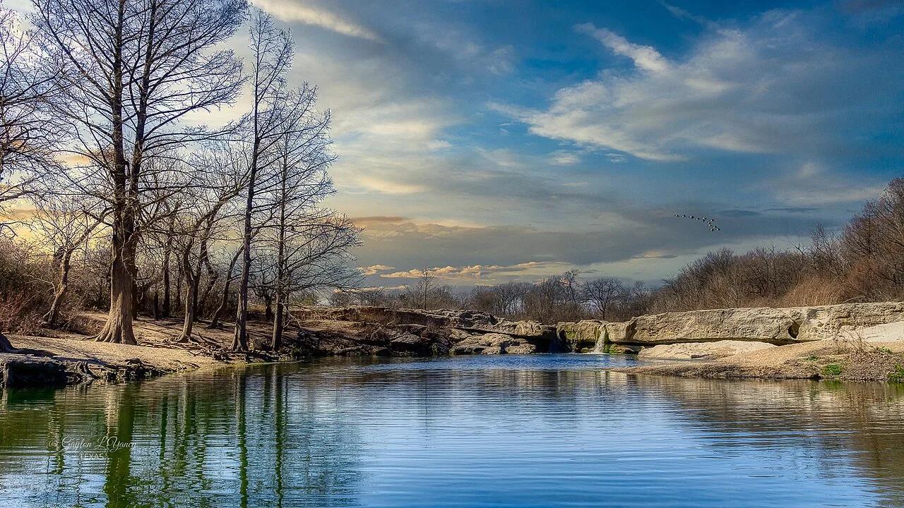
McKinney Falls State Park · Austin & Central Texas · Texas
Upper and Lower limestone shelf waterfalls cascading over ancient volcanic debris and Cretaceous limestone into wide swimming basins in Austin's backyard.
Photo: G. Lamar · CC BY 2.0
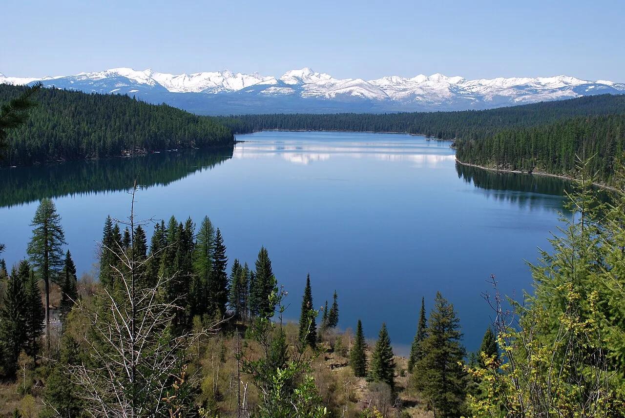
Flathead National Forest · Glacier Country · Montana
Lakeside forested path climbing to a roaring cascade tumbling down limestone crags of the Swan Range.
Photo: Forest Service Northern Region from Missoula, MT, USA · Public domain
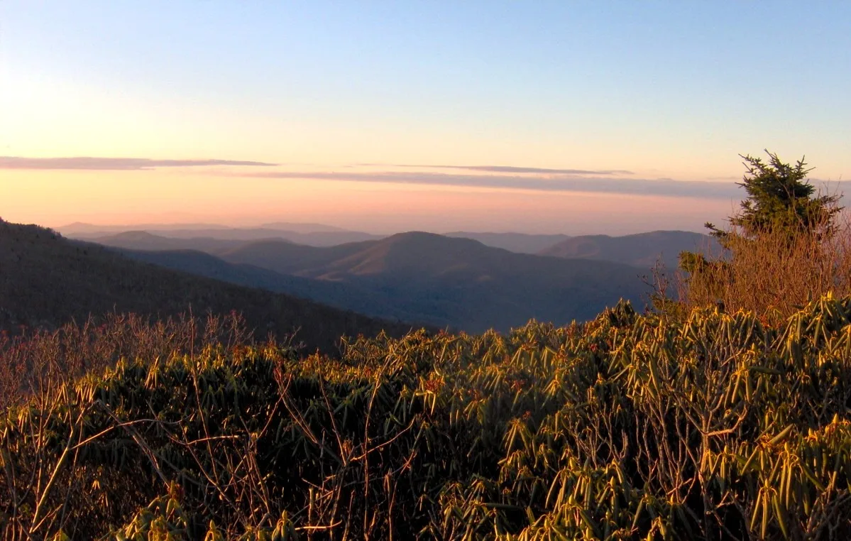
Pisgah & Cherokee National Forests (Carvers Gap) · Appalachian & Blue Ridge · North Carolina
Grassy 5,800-foot southern Appalachian grassy balds ablaze with Catawba rhododendron blooms and 360-degree views of the Black Mountains.
Photo: Brian Stansberry · CC BY 2.5
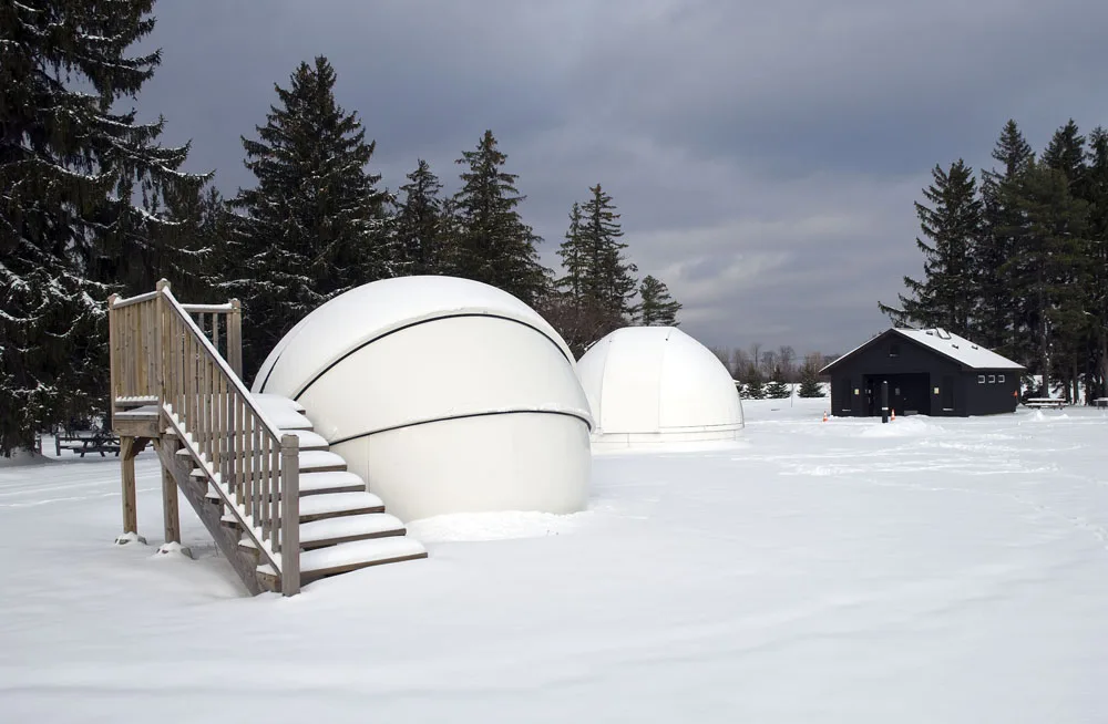
Cherry Springs State Park · PA Wilds / Potter County · Pennsylvania
A Gold-Tier International Dark Sky Park perched atop an isolated 2,300-foot Allegheny plateau where the Milky Way casts shadows.
Photo: Curt Weinhold · CC BY-SA 3.0