Viewpoint
Bureau of Land Management · Northern New Mexico · New Mexico
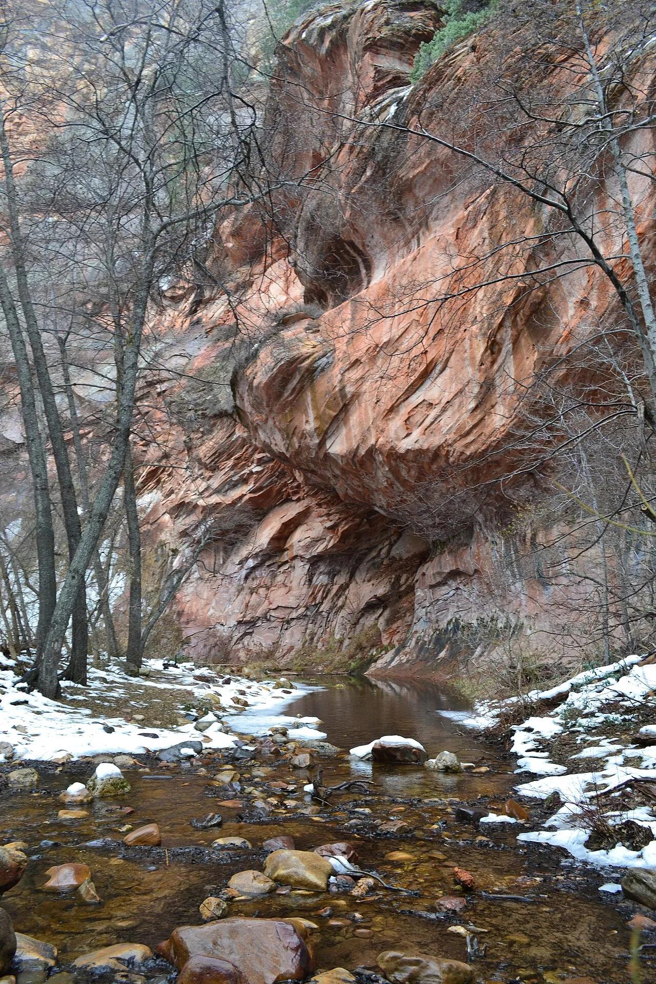
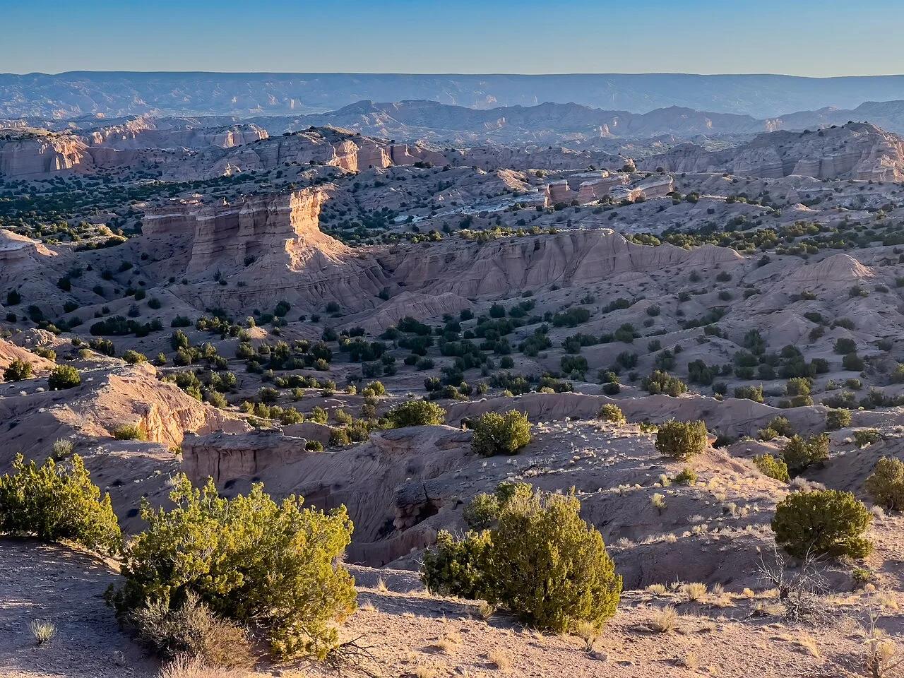
Nambé Badlands
Dramatic eroded siltstone badlands, sculpted caprocks, and labyrinthine arroyos north of Santa Fe.
- Route
- 3.8 mi
- Climb
- 459 ft
Browse & Discover
Filter by activity, state, region, dog policy, or route effort — or use the interactive map below to find waterfalls, trails, beaches, bikeways, skateparks, and campgrounds near any location.
1,365 of 2,051 places
Drag to pan. Double-click, pinch or scroll to zoom. Keyboard: arrow keys and +/−. Cards below remain available.
Loading map… Browse the spot cards below at any time.

Joshua Tree National Park
A short desert trail to the historic Barker Dam water-storage structure in Joshua Tree National Park.
Hannah Schwalbe / NPS · Public domain. Source & image licence

Eaton Canyon Natural Area
The waterfall at the head of lower Eaton Canyon, reached by a wide wash walk from the Eaton Canyon Nature Center and a final creekside scramble.
[scott.medling or en:user:scott.medling user:scott.medling from California, United States] · CC BY-SA 2.0. Source & image licence

Angeles National Forest
The ruined mountain resort of the Mount Lowe Railway, on a front-range promontory above Altadena at the top of the Lower Sam Merrill Trail.
Lennonrodgers at en.wikipedia · Public domain. Source & image licence

Escondido Canyon Park
A multi-tiered waterfall in Escondido Canyon above Malibu. The maintained trail ends at the base of the mossy lower tier.
Santa Monica Mountains National Recreation Area · Public domain. Source & image licence

Inyo National Forest
A chain of small alpine lakes at the head of Little Lakes Valley in the John Muir Wilderness, below the 13,000-foot peaks of the Bear Creek Spire cirque.
Jane S. Richardson (talk · contribs) · CC BY-SA 3.0. Source & image licence

Mount Tamalpais Watershed
A winter-and-spring cascade on Cataract Creek just below the Laurel Dell picnic area, reached downhill along the Cataract Trail from Rock Spring.
Richard Wood · CC BY-SA 3.0. Source & image licence

Joshua Tree National Park
One of the best-preserved stamp mills in Joshua Tree National Park, at the site of the Lost Horse gold mine.
Joseph from Cabin On The Road, USA · CC BY-SA 2.0. Source & image licence

Angeles National Forest
A waterfall of about fifty feet filling the head of a narrow, shaded canyon, a short walk upstream from Millard Campground.
Region 5 Photography · Public domain. Source & image licence

Inyo National Forest
A quiet lake in the Ansel Adams Wilderness beneath Parker Peak, reached through sage and an aspen-lined creek canyon off the June Lake Loop.
Mark Gunn from Novato, California, USA · CC BY 2.0. Source & image licence

Pfeiffer Big Sur State Park
A 60-foot waterfall on Pfeiffer-Redwood Creek, reached through the redwoods of Pfeiffer Big Sur State Park on a trail twice rebuilt — after the 2008 Basin Complex Fire and again after 2023 storm damage.
Joe Mabel · CC BY-SA 4.0. Source & image licence

Angeles National Forest
A 50-foot single drop into a shallow plunge pool, 1.7 mi up Big Santa Anita Canyon. Shaded the entire way in. The work is all on the walk out.
U.S. Department of Agriculture / USDA USFS · CC BY 2.0. Source & image licence

Santa Monica Mountains National Recreation Area
The ruins of the Roberts family ranch house at the end of the canyon-floor trail in Solstice Canyon, beside a small seasonal waterfall.
George Heras / Santa Monica Mountains National Recreation Area · Public domain. Source & image licence

Pfeiffer Big Sur State Park
An overlook above the Big Sur River valley, looking north over the redwoods toward Point Sur and the Pacific.
King of Hearts · CC BY-SA 3.0. Source & image licence
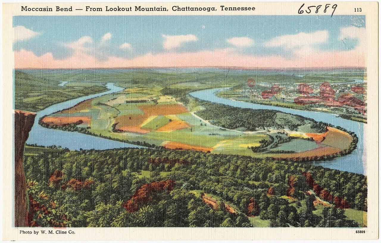
Chickamauga and Chattanooga National Military Park · Appalachian & Blue Ridge · Tennessee
West-facing sandstone cliff ledge high atop Lookout Mountain looking down on the Moccasin Bend horseshoe of the Tennessee River.
Photo: Pub. by W. M. Cline Co., Chattanooga, Tennessee · Public domain
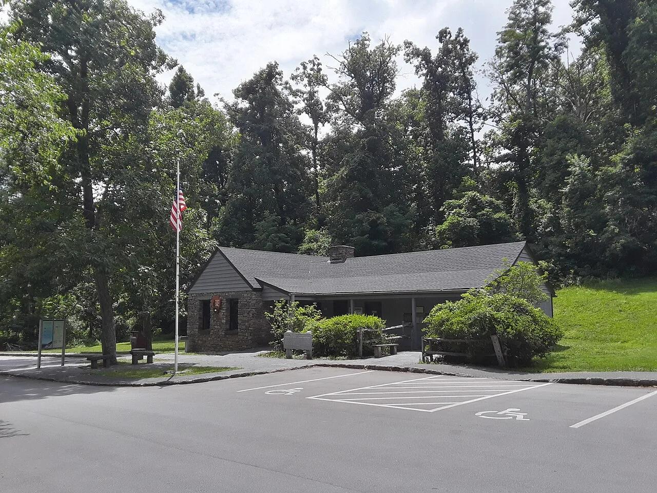
George Washington National Forest / Blue Ridge Parkway · Appalachian & Blue Ridge · Virginia
Jagged greenstone cliff outcrop at the northern gateway of the Blue Ridge Parkway overlooking both the Shenandoah and Rockfish valleys.
Photo: Ser Amantio di Nicolao · Public domain
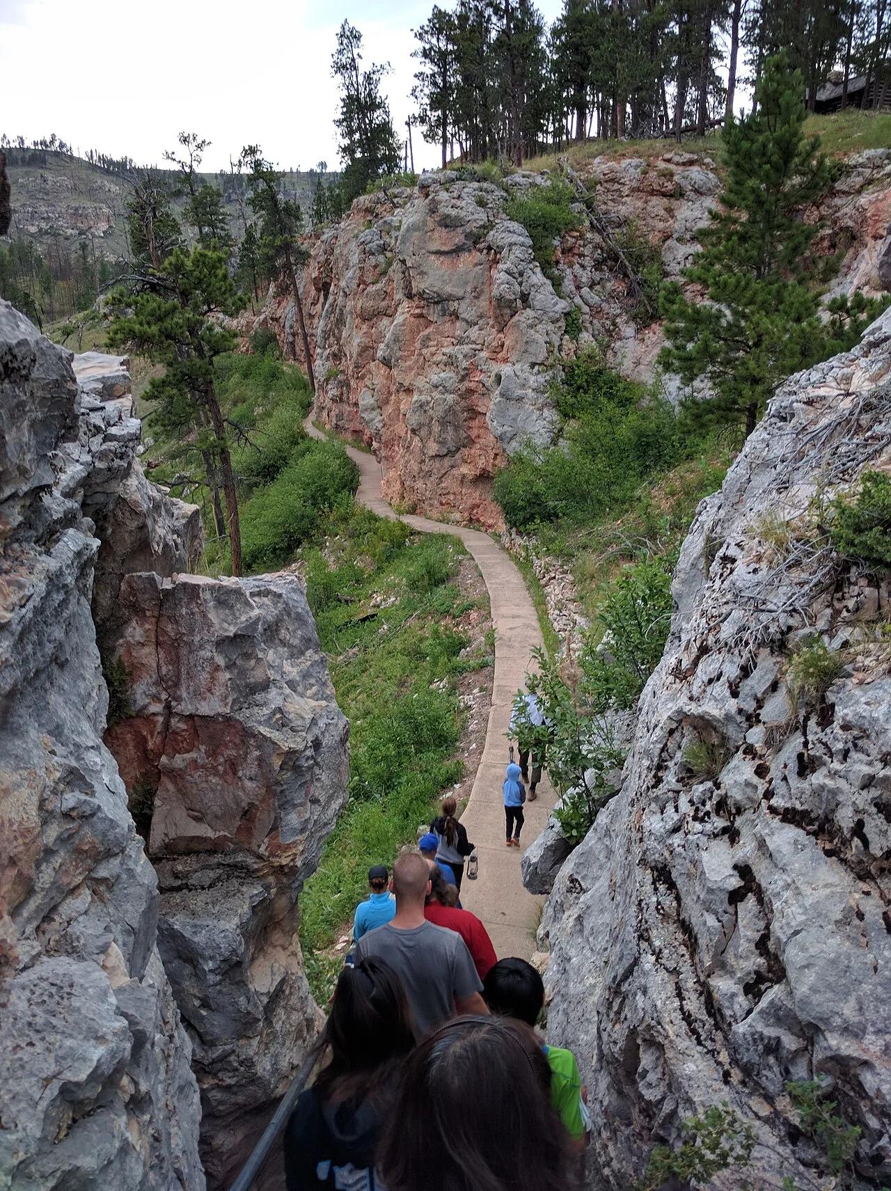
Jewel Cave National Monument (Custer) · Black Hills · South Dakota
The world's third longest cave system with over 215 surveyed miles of calcite spar crystals, framed above ground by Ponderosa pine canyon trails.
Photo: Runner1928 · CC BY-SA 4.0
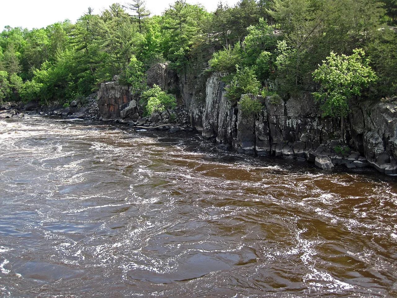
Interstate State Park (St. Croix Falls) · Midwest & Great Lakes · Wisconsin
World's deepest concentration of glacial whirlpool potholes drilled into billion-year-old black basalt lava cliffs above the St. Croix National Scenic Riverway.
Photo: James St. John · CC BY 2.0
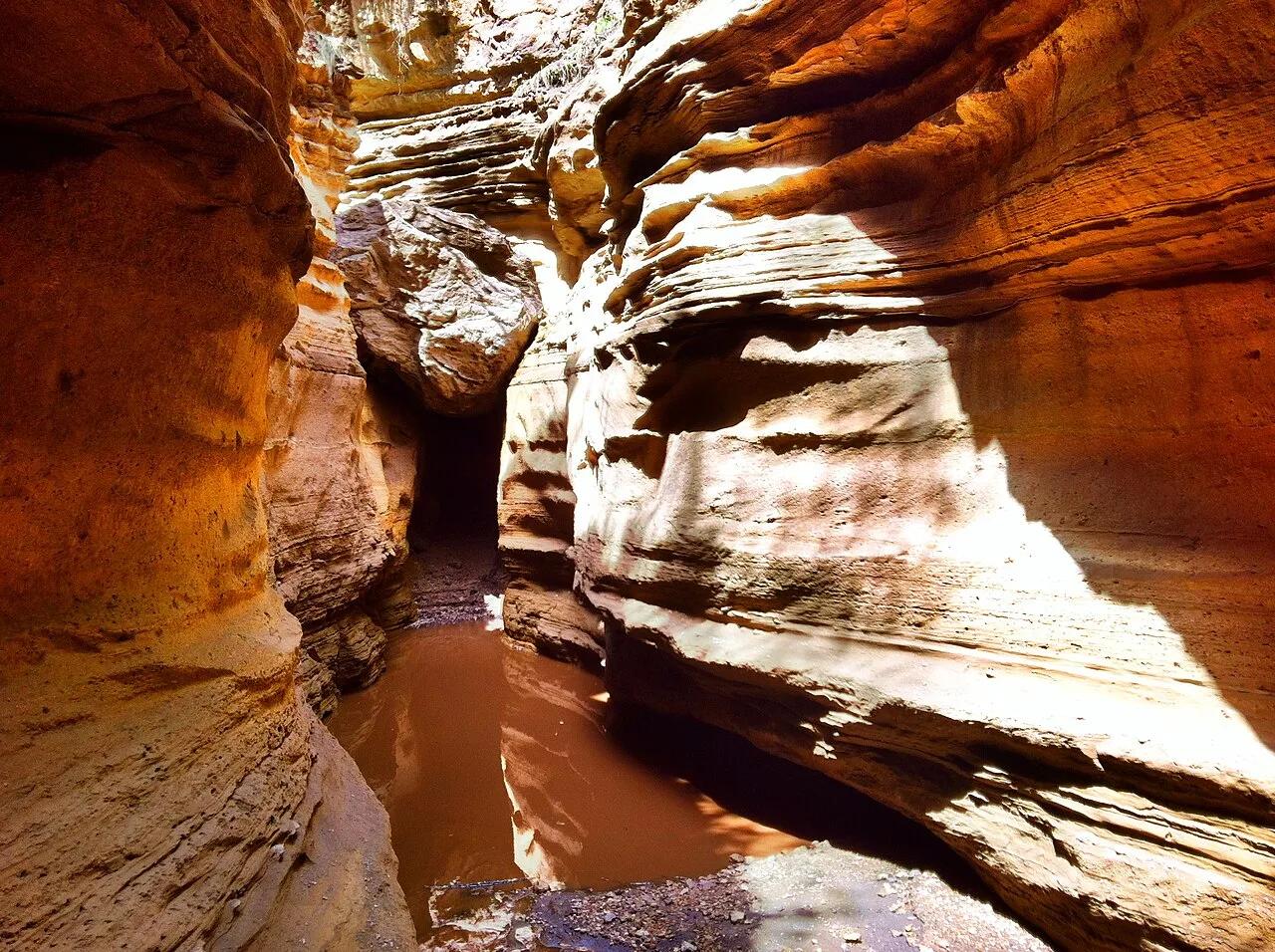
Hell's Gate National Park (Great Rift Valley) · Africa · Kenya
Rift Valley volcanic cliffs and geothermal steam plumes where visitors cycle and hike alongside plains zebras, giraffes, and gazelles.
Photo: Heyandrewhyde · CC BY-SA 3.0
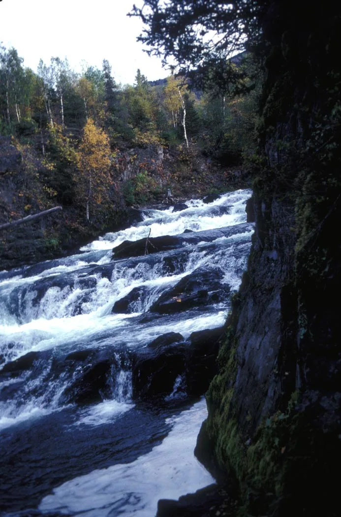
Chugach National Forest · Kenai Peninsula · Alaska
Broad canyon cascade where thousands of sockeye salmon leap up raging rapids while brown and black bears fish the falls.
Photo: Department of the Interior. U.S. Fish and Wildlife Service. National Conserva... · Public domain
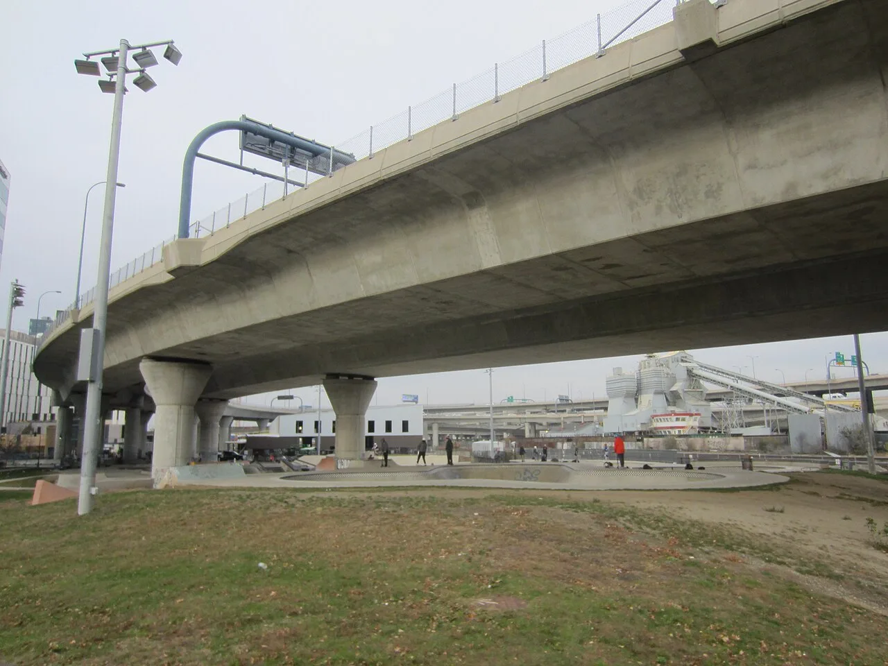
Charles River Basin / North Point Park · Greater Boston · Massachusetts
A premier 40,000-square-foot street plaza and deep bowl skatepark nestled beneath the monumental Zakim Bunker Hill Bridge ramps.
Photo: Another Believer · CC BY-SA 4.0
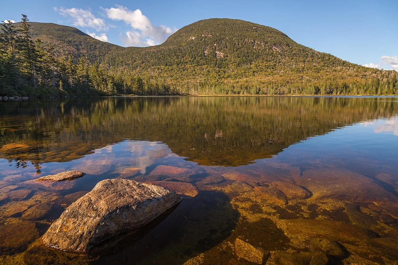
Franconia Notch State Park (White Mountain NF) · Northeast & New England · New Hampshire
High-elevation bog-ringed mountain tarn with a classic AMC backcountry hut reflecting the sweeping granite crest of Franconia Ridge.
Photo: Christian Collins · CC BY-SA 2.0
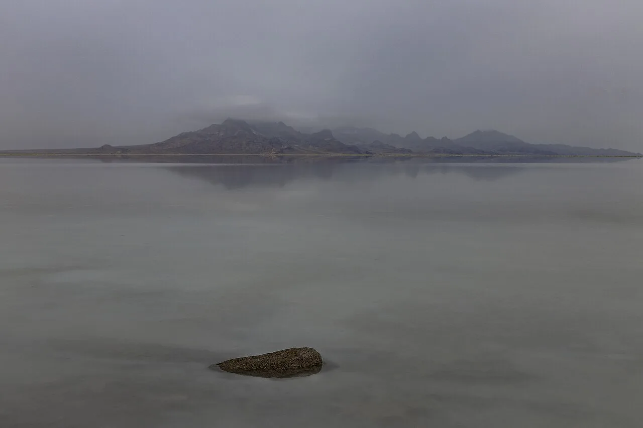
Bonneville Salt Flats Special Recreation Management Area · American Southwest · Utah
30,000-acre expanse of blinding-white polygonal halite salt crust left behind by Pleistocene Lake Bonneville.
Photo: Janusz Sobolewski from Mississauga, Ontario, Canada · CC BY 2.0
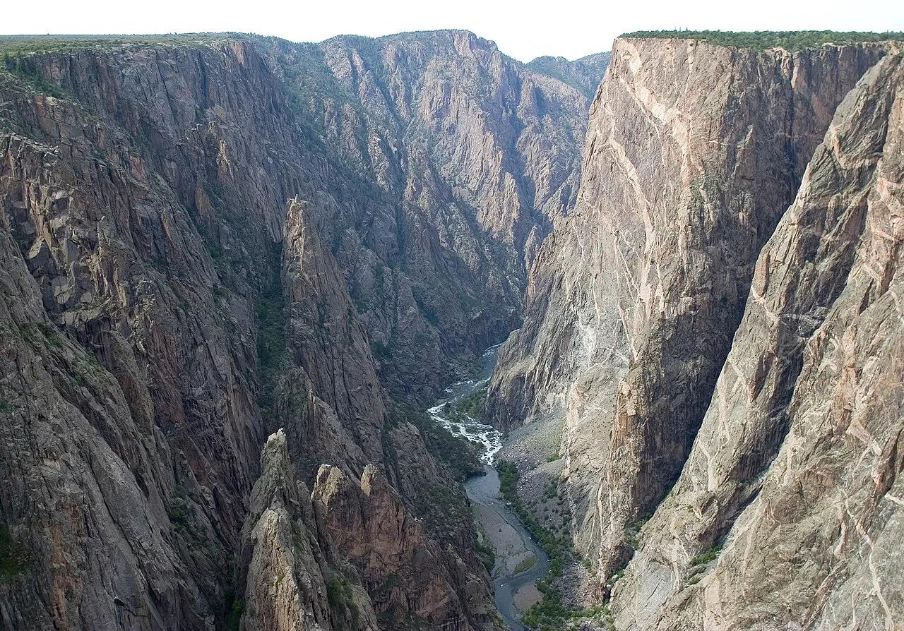
Black Canyon of the Gunnison National Park · Rocky Mountains · Colorado
Colorado's tallest sheer cliff—2,250 feet of dark Precambrian gneiss laced with pink pegmatite dikes above the Gunnison River.
Photo: NPS/Lisa Lynch · Public domain
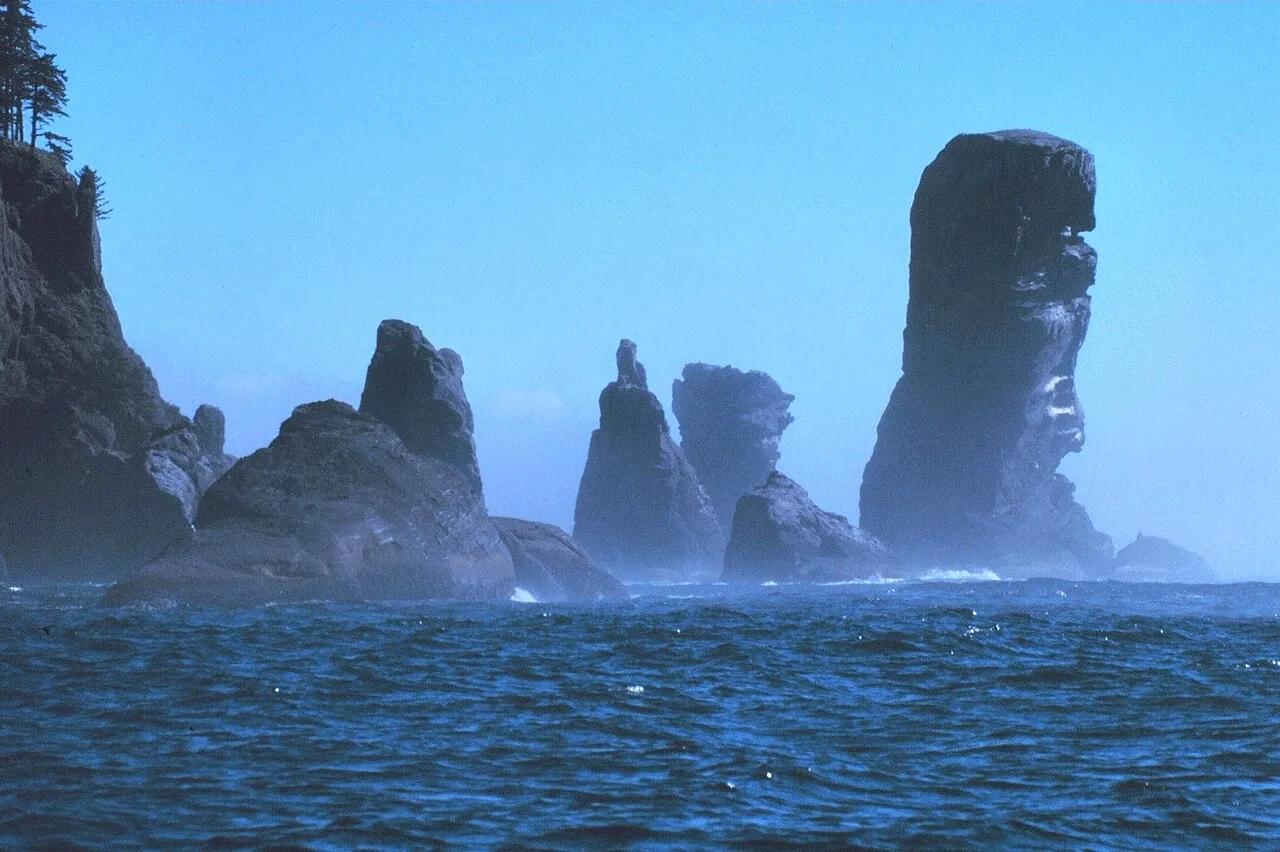
Makah Reservation · Pacific Northwest · Washington
Cedar boardwalk through Sitka spruce rainforest to sea caves and Tatoosh Island at the entrance to the Strait of Juan de Fuca.
Photo: National Oceanic and Atmospheric Administraion · Public domain
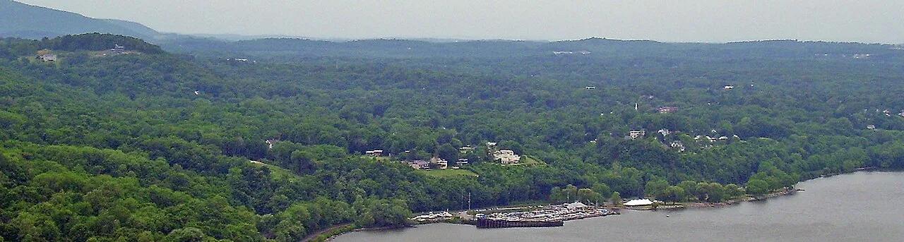
Hudson Highlands State Park Preserve · Hudson Valley · New York
The iconic, hands-on rock scramble of the Hudson Highlands rising steeply above Storm King Mountain and the Hudson River.
Photo: The original uploader was Daniel Case at English Wikipedia. · CC BY-SA 3.0
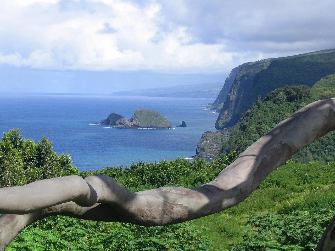
North Kohala Coast (Hawai'i Island) · Hawaiian Islands · Hawaii
Steep coastal cliff trail descending into the northernmost Kohala amphitheater valley and ironwood-fringed black sand surf beach.
Photo: Mickaw2 at English Wikipedia · Public domain
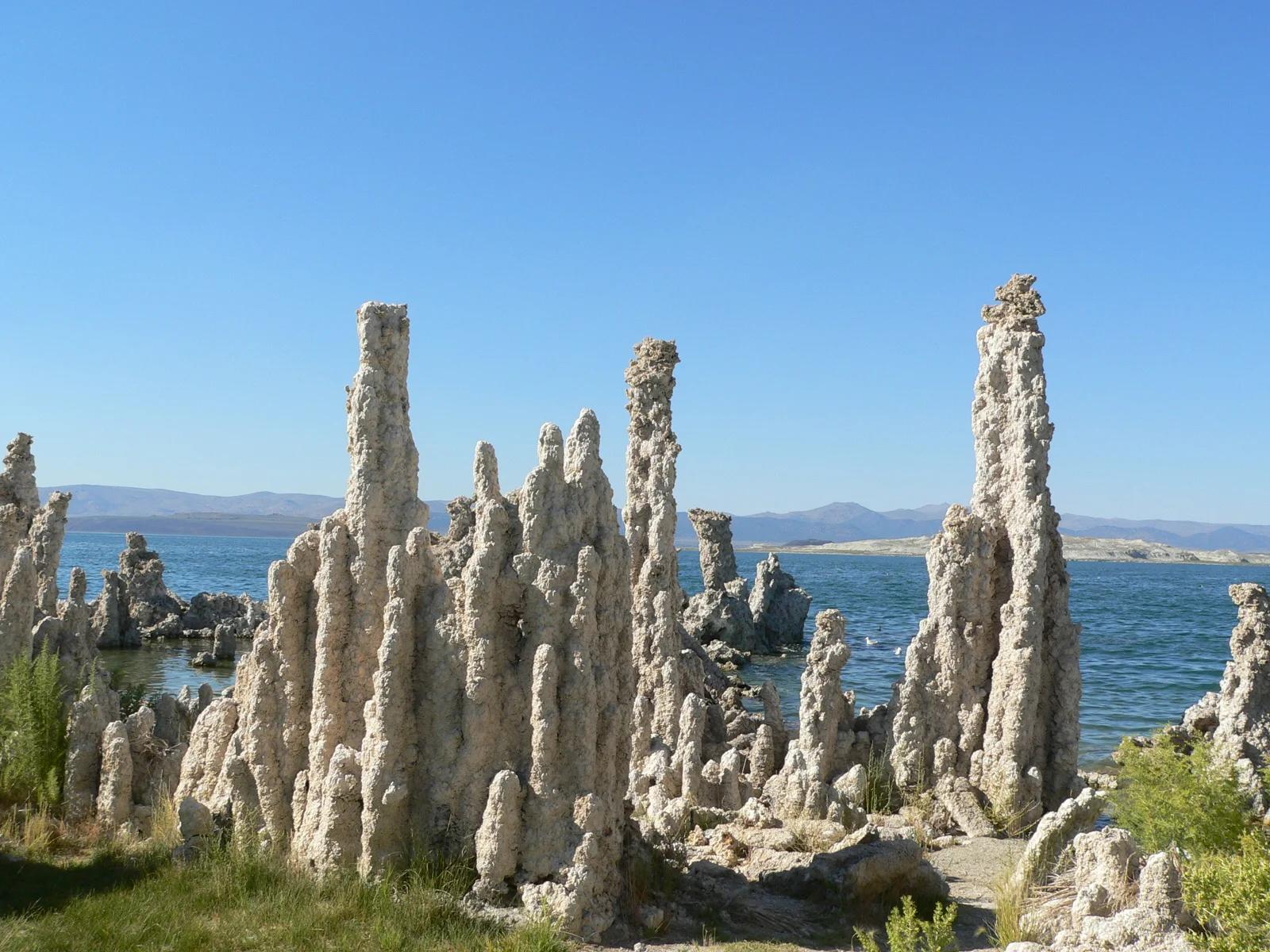
Mono Lake Tufa State Natural Reserve · Eastern Sierra
Surreal limestone tufa spires rising like alien towers from an ancient hyper-saline lake against the backdrop of the Sierra Nevada escarpment.
Photo: Yukinobu Zengame from Cupertino, United States · CC BY 2.0
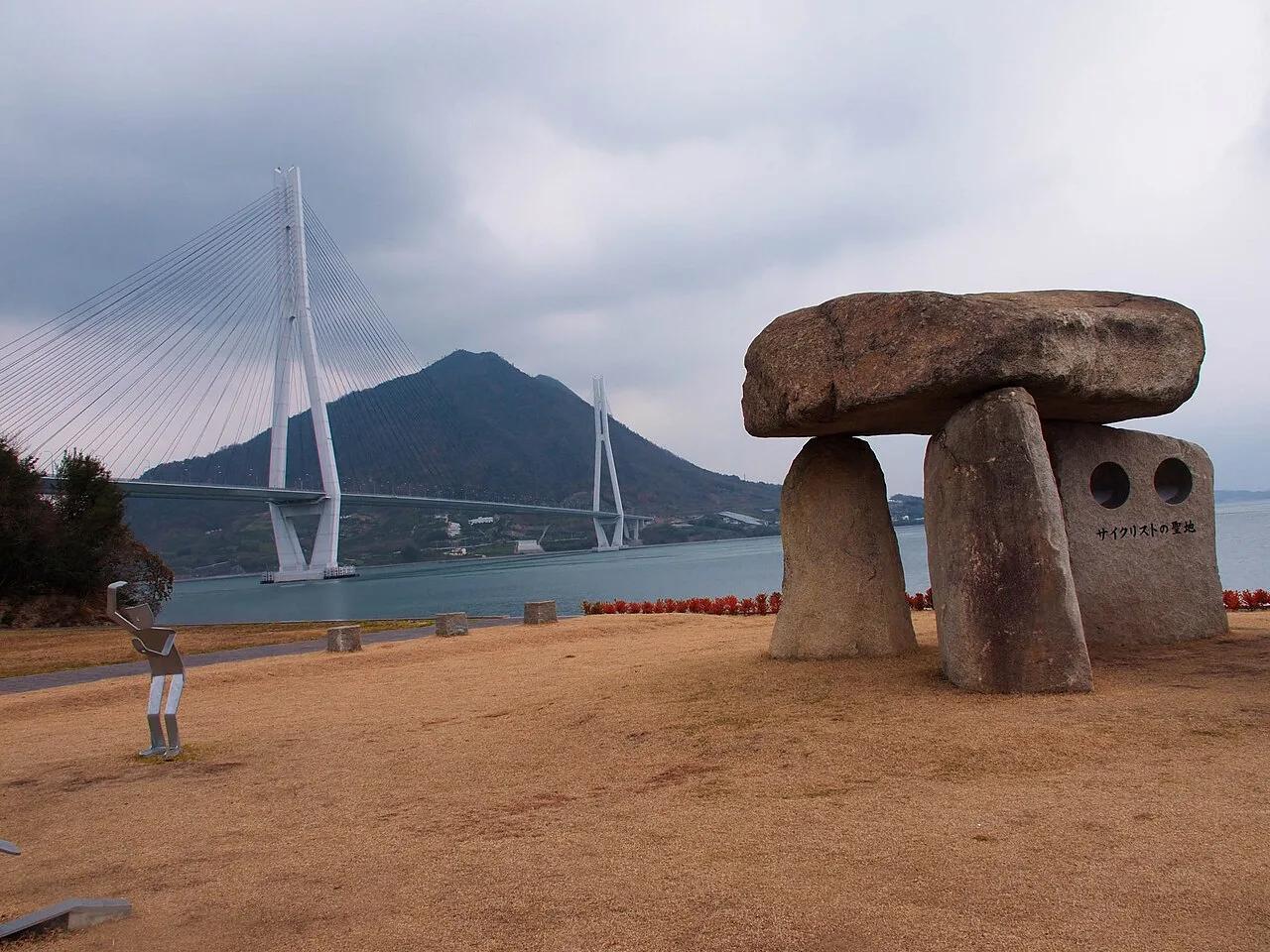
Setonaikai National Park (Seto Inland Sea) · East Asia · Japan
World-renowned blue-line cycling route crossing six Seto Inland Sea islands over seven monumental suspension bridges with dedicated bicycle ramps.
Photo: Dyota Condrorini · CC BY-SA 2.0