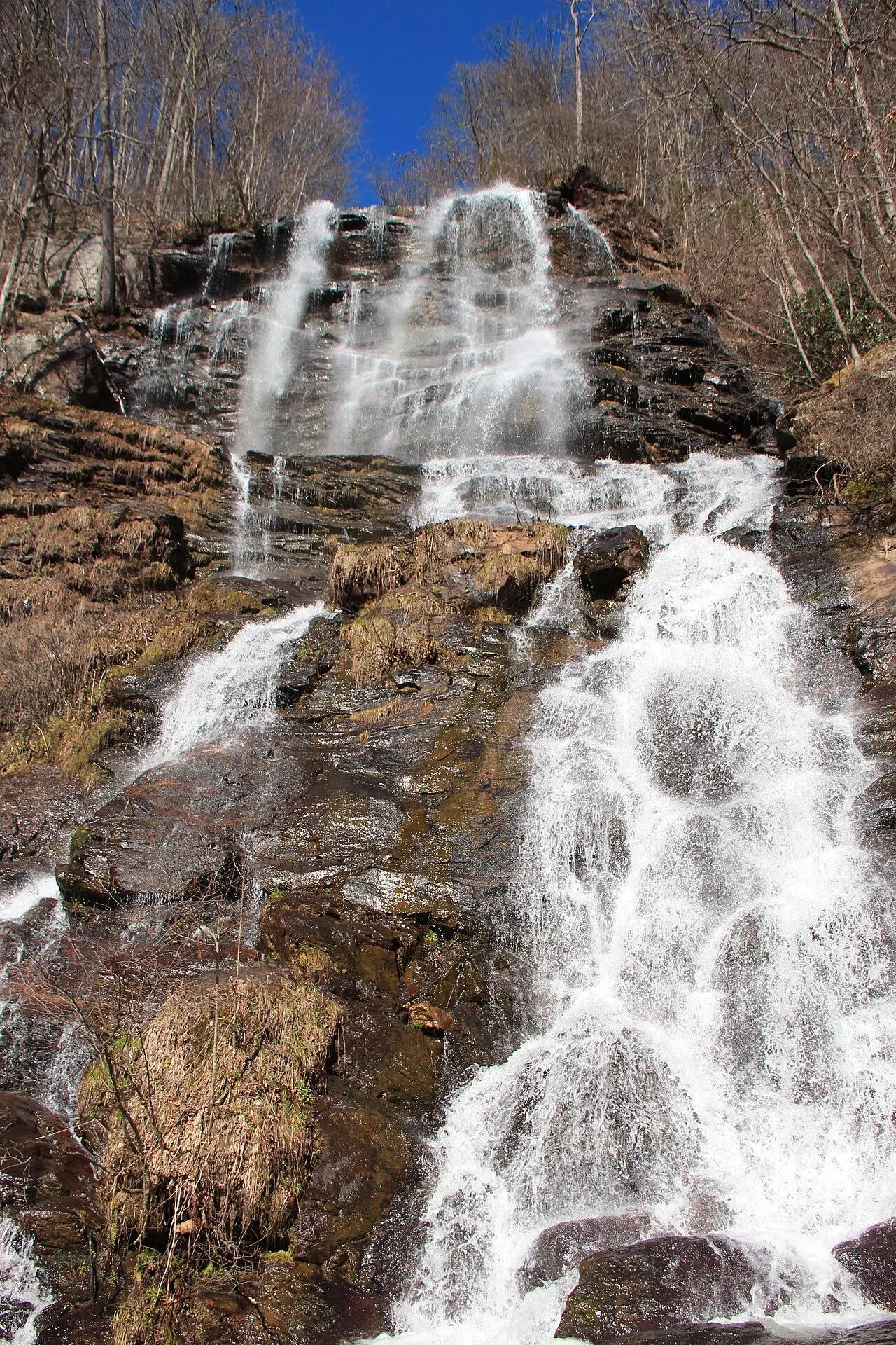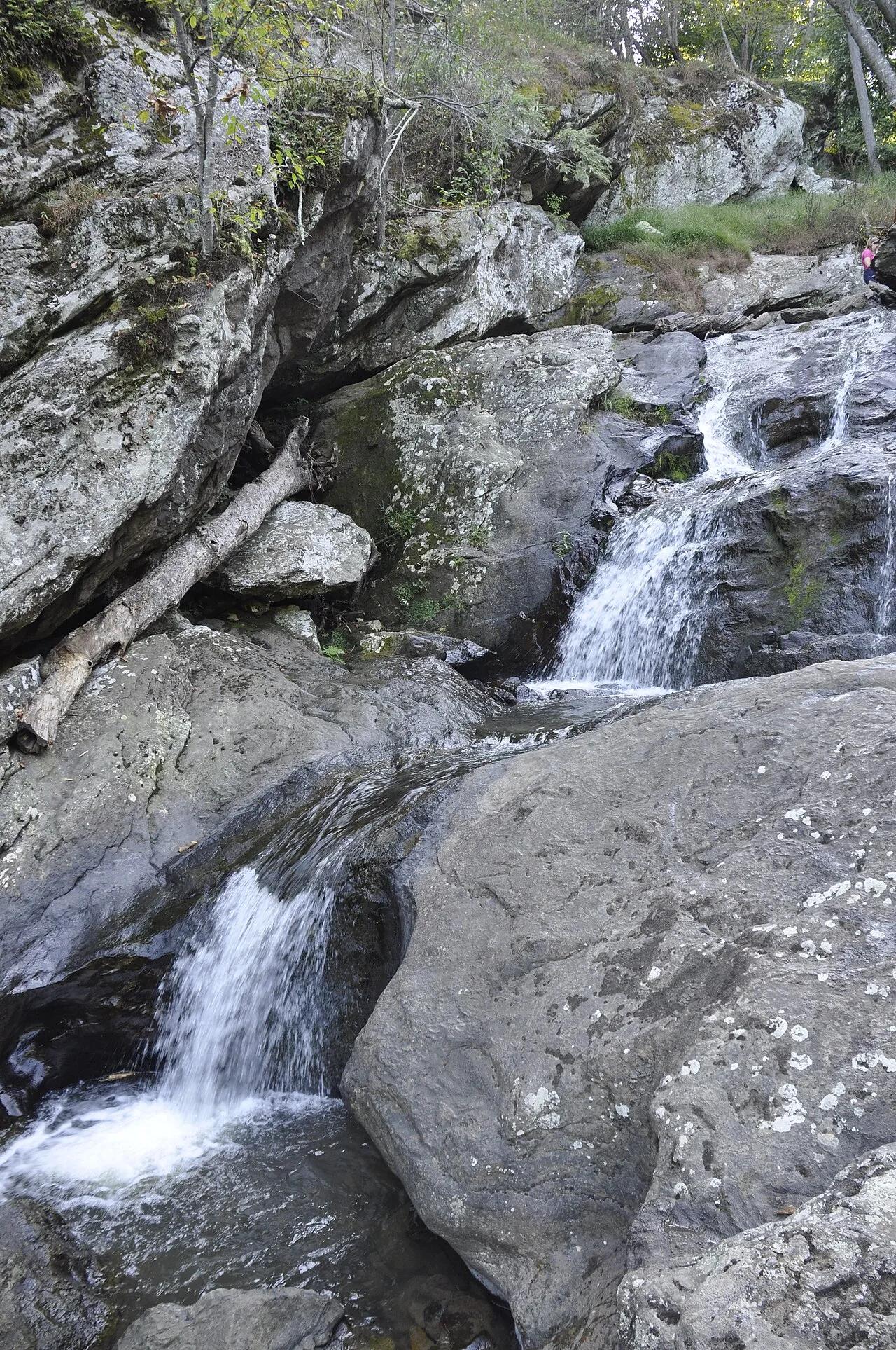
Waterfall
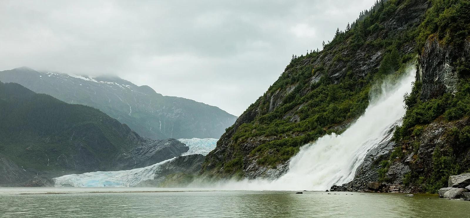
Tongass National Forest · Alaska
Mendenhall Glacier & Nugget Falls Trail
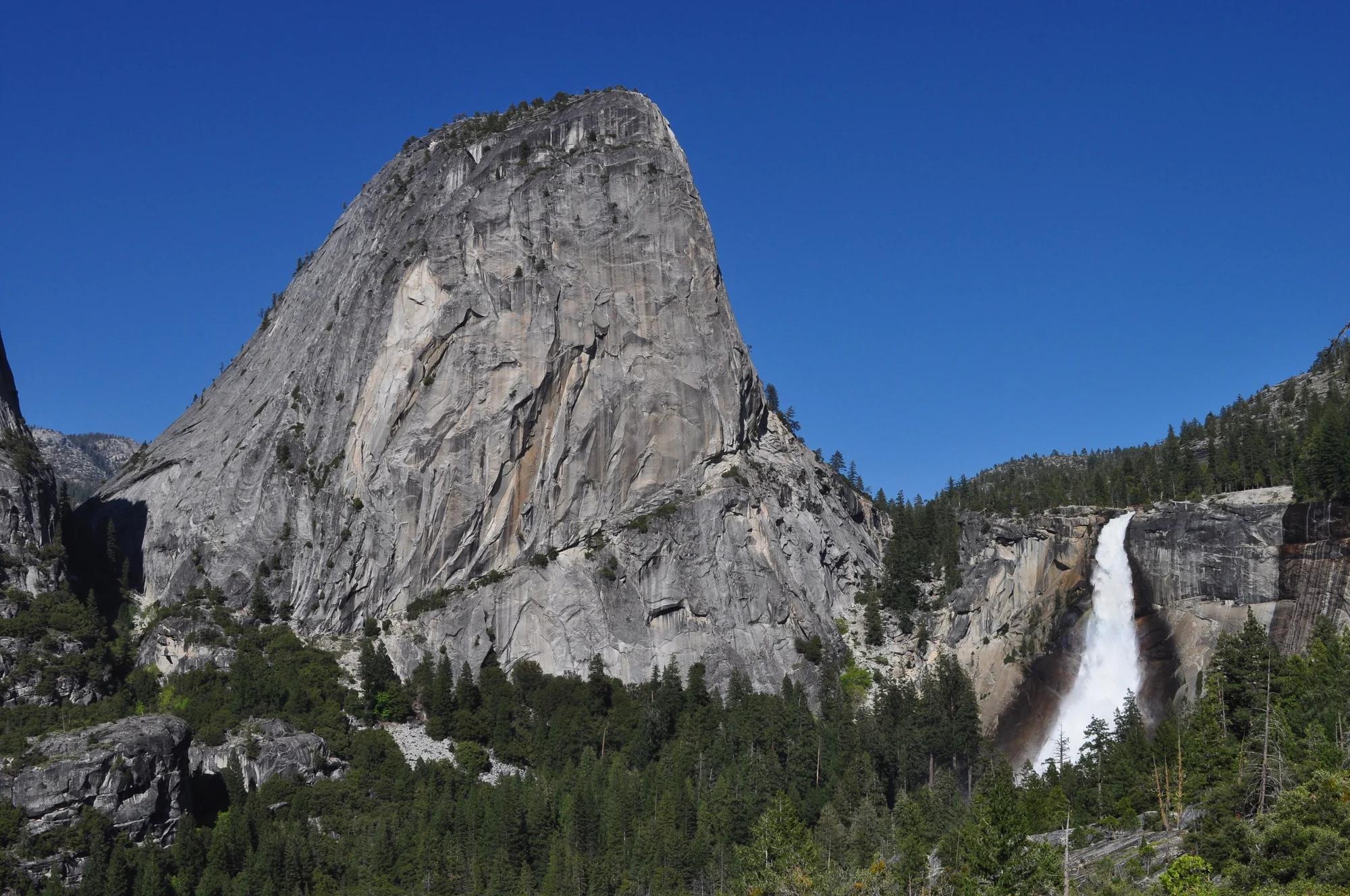
Strolls along the lakeshore to the roaring base of a 377-foot waterfall tumbling beside the calving blue snout of Mendenhall Glacier.
- Route
- 2 mi
- Climb
- 49 ft
Browse & Discover
Filter by activity, state, region, dog policy, or route effort — or use the interactive map below to find waterfalls, trails, beaches, bikeways, skateparks, and campgrounds near any location.
1,365 of 2,051 places
Drag to pan. Double-click, pinch or scroll to zoom. Keyboard: arrow keys and +/−. Cards below remain available.
Loading map… Browse the spot cards below at any time.

Joshua Tree National Park
A short desert trail to the historic Barker Dam water-storage structure in Joshua Tree National Park.
Hannah Schwalbe / NPS · Public domain. Source & image licence

Eaton Canyon Natural Area
The waterfall at the head of lower Eaton Canyon, reached by a wide wash walk from the Eaton Canyon Nature Center and a final creekside scramble.
[scott.medling or en:user:scott.medling user:scott.medling from California, United States] · CC BY-SA 2.0. Source & image licence

Angeles National Forest
The ruined mountain resort of the Mount Lowe Railway, on a front-range promontory above Altadena at the top of the Lower Sam Merrill Trail.
Lennonrodgers at en.wikipedia · Public domain. Source & image licence

Escondido Canyon Park
A multi-tiered waterfall in Escondido Canyon above Malibu. The maintained trail ends at the base of the mossy lower tier.
Santa Monica Mountains National Recreation Area · Public domain. Source & image licence

Inyo National Forest
A chain of small alpine lakes at the head of Little Lakes Valley in the John Muir Wilderness, below the 13,000-foot peaks of the Bear Creek Spire cirque.
Jane S. Richardson (talk · contribs) · CC BY-SA 3.0. Source & image licence

Mount Tamalpais Watershed
A winter-and-spring cascade on Cataract Creek just below the Laurel Dell picnic area, reached downhill along the Cataract Trail from Rock Spring.
Richard Wood · CC BY-SA 3.0. Source & image licence

Joshua Tree National Park
One of the best-preserved stamp mills in Joshua Tree National Park, at the site of the Lost Horse gold mine.
Joseph from Cabin On The Road, USA · CC BY-SA 2.0. Source & image licence

Angeles National Forest
A waterfall of about fifty feet filling the head of a narrow, shaded canyon, a short walk upstream from Millard Campground.
Region 5 Photography · Public domain. Source & image licence

Inyo National Forest
A quiet lake in the Ansel Adams Wilderness beneath Parker Peak, reached through sage and an aspen-lined creek canyon off the June Lake Loop.
Mark Gunn from Novato, California, USA · CC BY 2.0. Source & image licence

Pfeiffer Big Sur State Park
A 60-foot waterfall on Pfeiffer-Redwood Creek, reached through the redwoods of Pfeiffer Big Sur State Park on a trail twice rebuilt — after the 2008 Basin Complex Fire and again after 2023 storm damage.
Joe Mabel · CC BY-SA 4.0. Source & image licence

Angeles National Forest
A 50-foot single drop into a shallow plunge pool, 1.7 mi up Big Santa Anita Canyon. Shaded the entire way in. The work is all on the walk out.
U.S. Department of Agriculture / USDA USFS · CC BY 2.0. Source & image licence

Santa Monica Mountains National Recreation Area
The ruins of the Roberts family ranch house at the end of the canyon-floor trail in Solstice Canyon, beside a small seasonal waterfall.
George Heras / Santa Monica Mountains National Recreation Area · Public domain. Source & image licence

Pfeiffer Big Sur State Park
An overlook above the Big Sur River valley, looking north over the redwoods toward Point Sur and the Pacific.
King of Hearts · CC BY-SA 3.0. Source & image licence
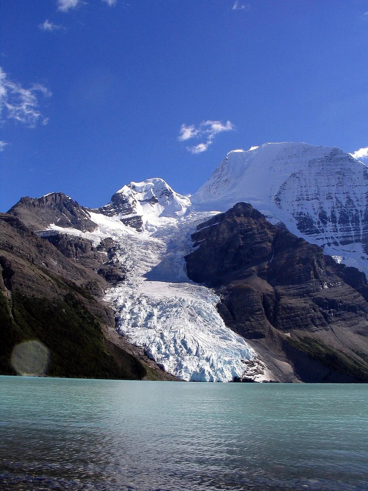
Mount Robson Provincial Park · Canadian Rockies & BC · Canada
Iceberg-calving Berg Glacier and 144-foot Emperor Falls beneath the 3,954-meter north face of Mount Robson, highest peak in the Canadian Rockies.
Photo: Airj1012 at English Wikipedia · CC BY 3.0
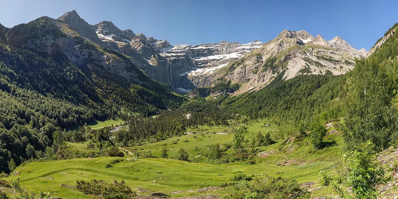
Pyrénées National Park (UNESCO World Heritage) · Mediterranean Europe · France
Monumental 1,500-meter limestone amphitheater crowned by the 422-meter Grande Cascade, highest waterfall in mainland France.
Photo: Benh LIEU SONG · CC BY-SA 2.0
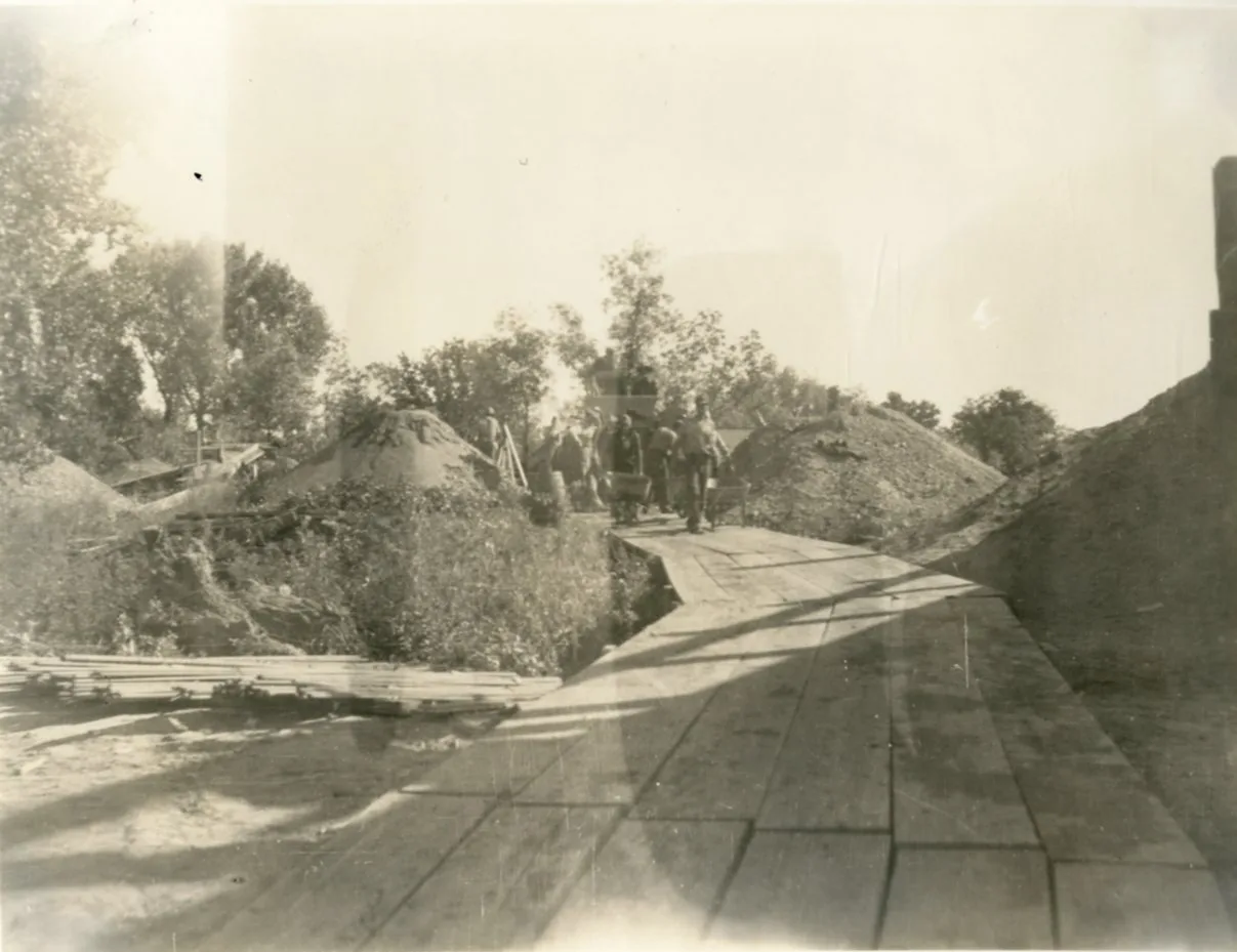
Rock City Park National Natural Landmark (Minneapolis, KS) · Great Plains & Heartland · Kansas
200 spherical Dakota Sandstone concretions up to 27 feet in diameter scattered across native Smoky Hills prairie.
Photo: Department of the Interior. Bureau of Indian Affairs. Standing Rock Agency. 9... · Public domain
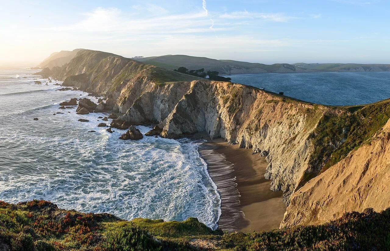
Chimney Rock National Historic Site · Great Plains & Heartland · Nebraska
325-foot Brule clay and volcanic ash spire rising above the North Platte Valley—the most famous landmark on the Oregon, California, and Mormon Trails.
Photo: King of Hearts · CC BY-SA 4.0
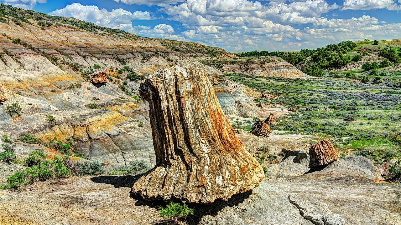
Theodore Roosevelt National Park (South Unit) · Badlands · North Dakota
The third largest concentration of petrified wood in the United States, showcasing massive 60-million-year-old stump cones scattered across badlands basins.
Photo: T. Schroeder, National Park Service · Public domain
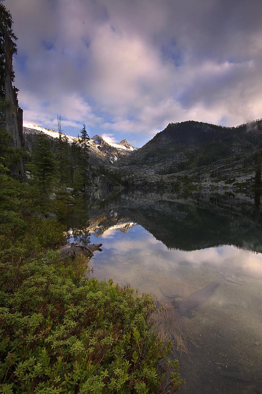
Shasta-Trinity National Forest · Shasta & Trinity
Verified California peak at 8,944 ft in Shasta-Trinity National Forest (Shasta & Trinity).
Photo: Jeffrey Pang from Jersey City, NJ, USA · CC BY 2.0
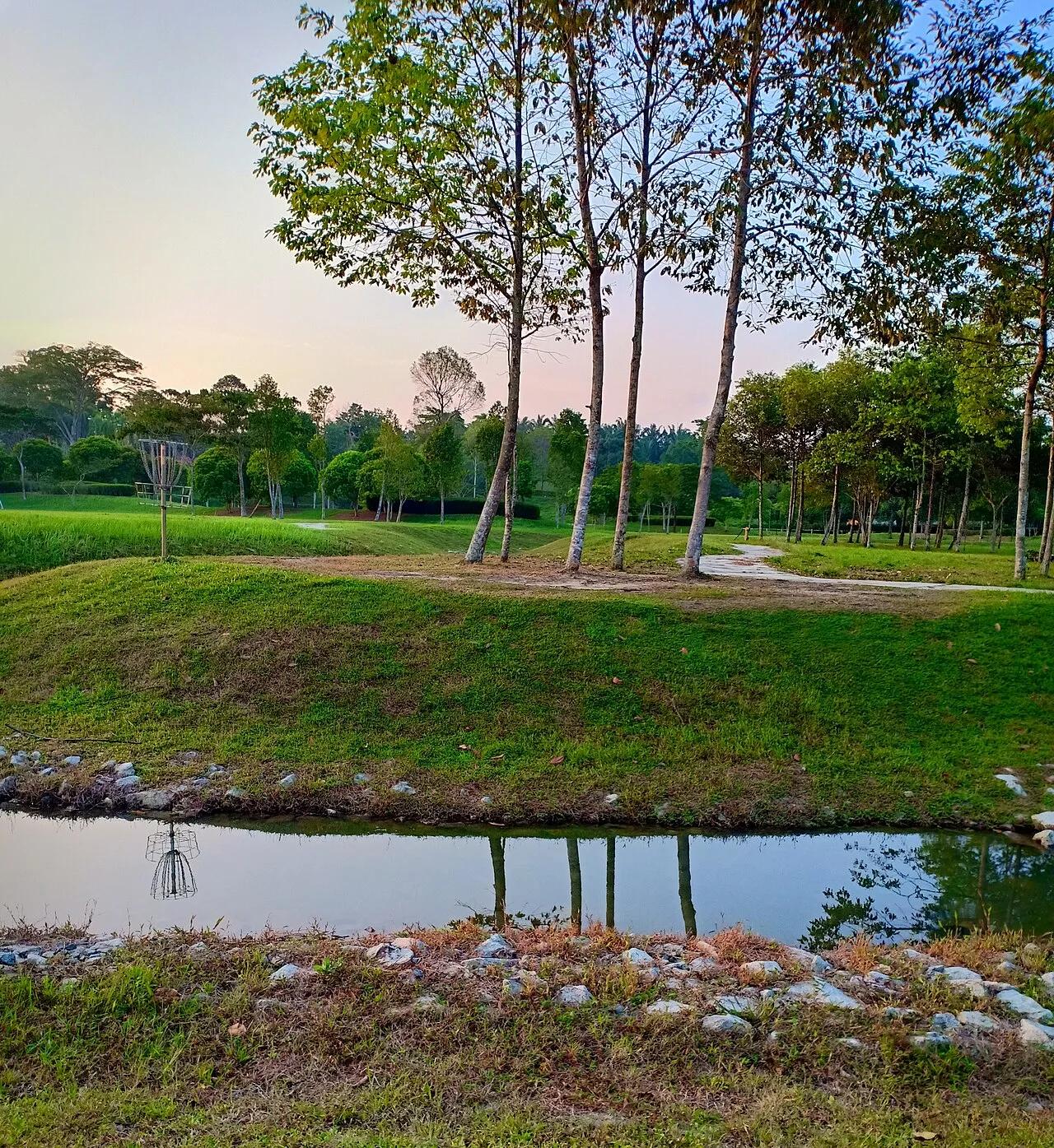
Winthrop University Recreation Complex (Rock Hill) · Appalachian & Blue Ridge · South Carolina
Home of the United States Disc Golf Championship (USDGC) since 1999—iconic lakeside championship disc golf layout.
Photo: Sirspinzalot · CC BY-SA 4.0
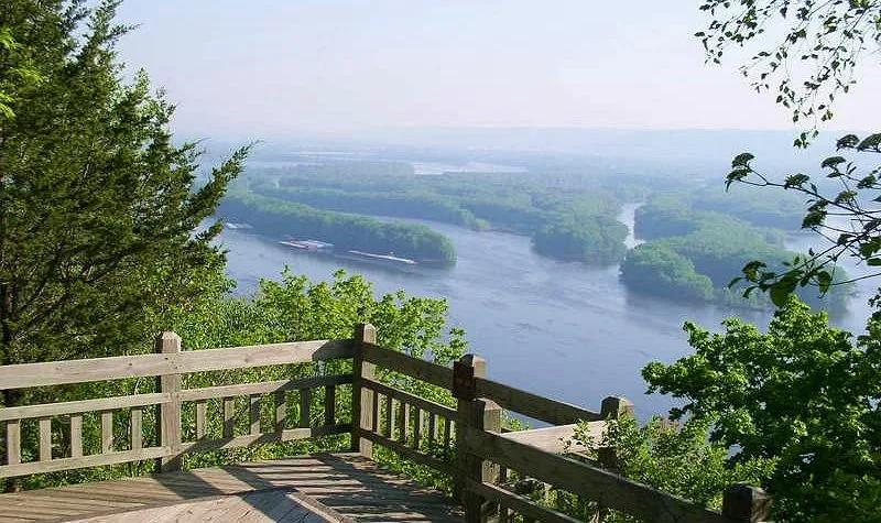
Pikes Peak State Park (McGregor) · Driftless Area · Iowa
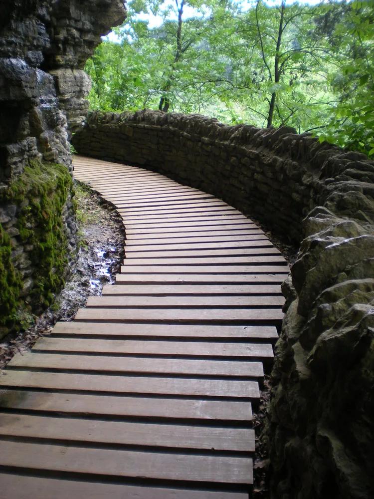
Soaring 500-foot dolomite bluff delivering magnificent panoramas of the Wisconsin and Mississippi River confluence, paired with Bridal Veil Falls boardwalk.
Photo: McGhiever · CC BY-SA 3.0
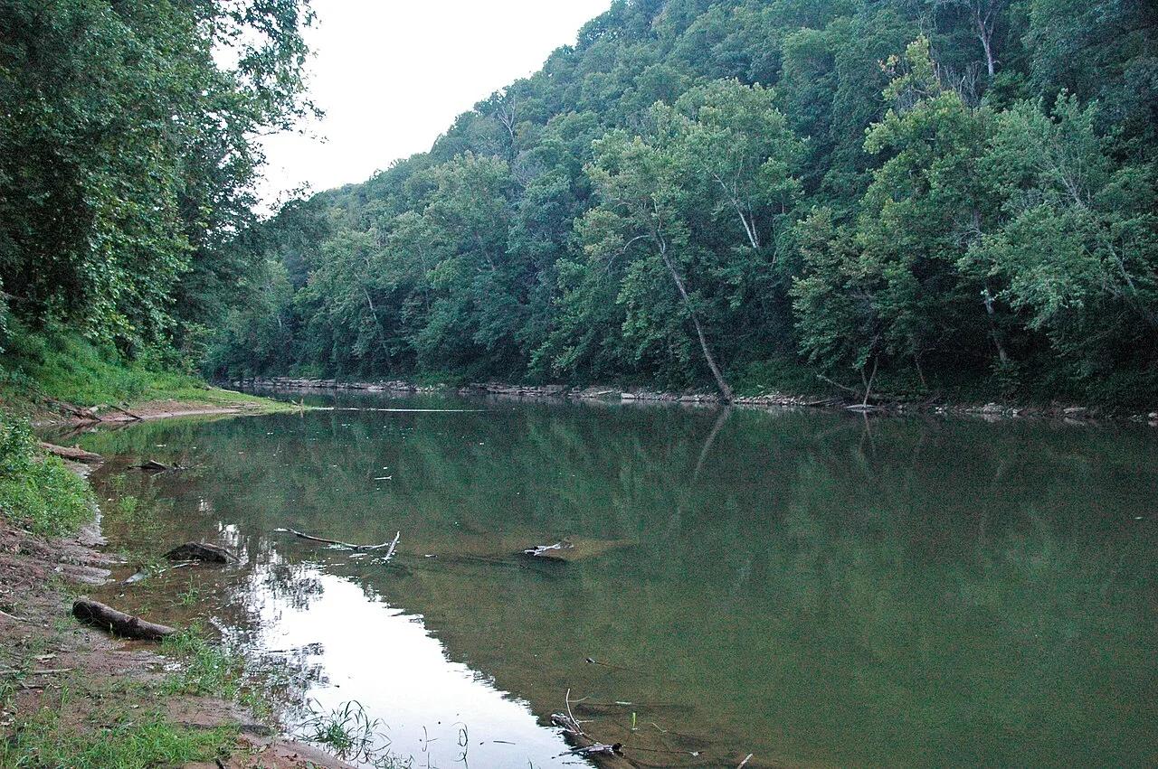
Mammoth Cave National Park · Appalachian & Blue Ridge · Kentucky
300-foot-deep collapsed karst sinkhole where an underground river surfaces briefly between limestone cliffs before vanishing back into the earth.
Photo: James St. John · CC BY 2.0