Waterfall
Chugach State Park · Southcentral Alaska · Alaska
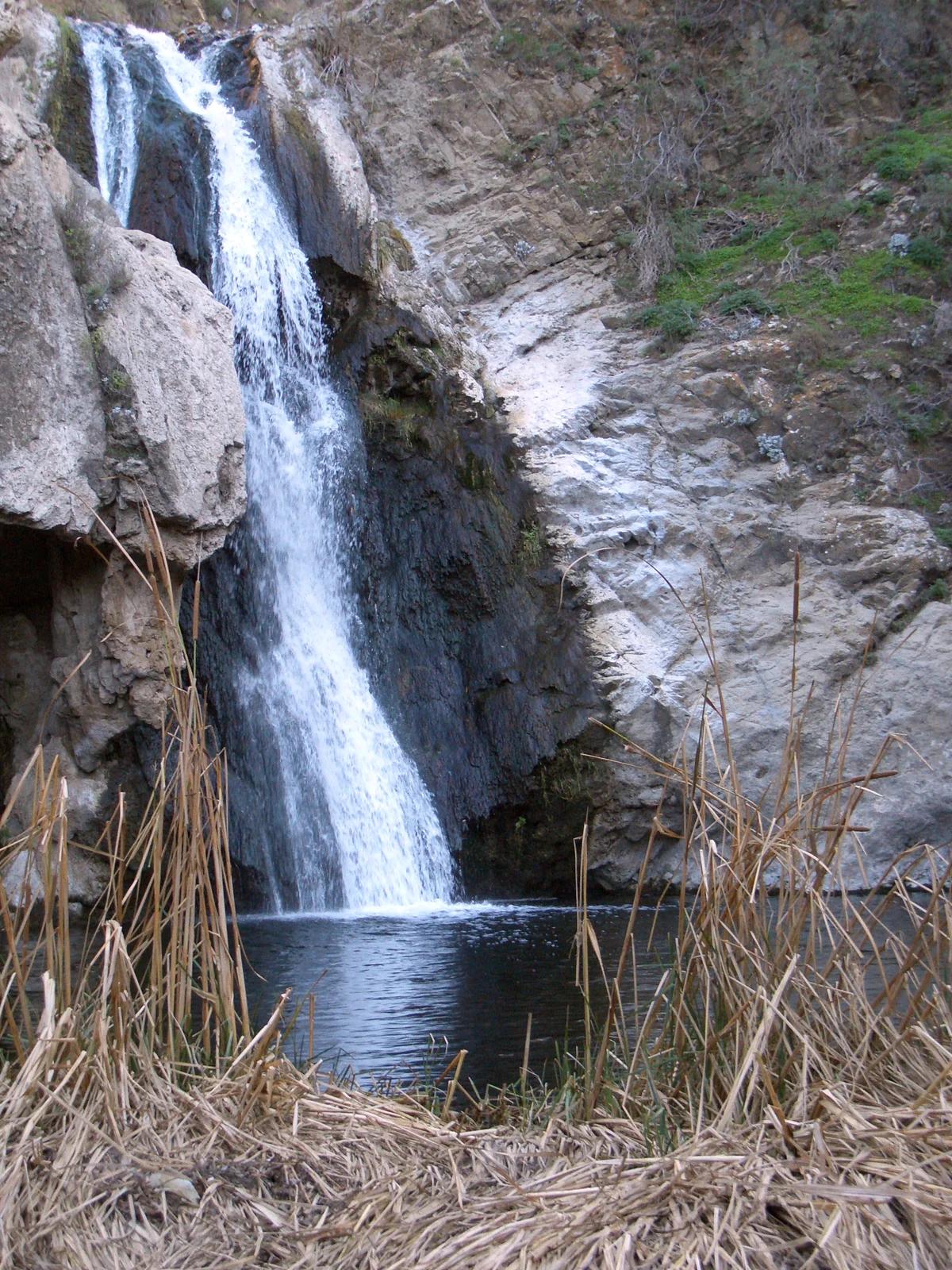
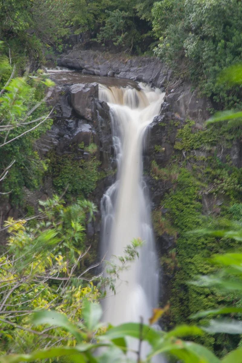
Thunderbird Falls (Chugach State Park)
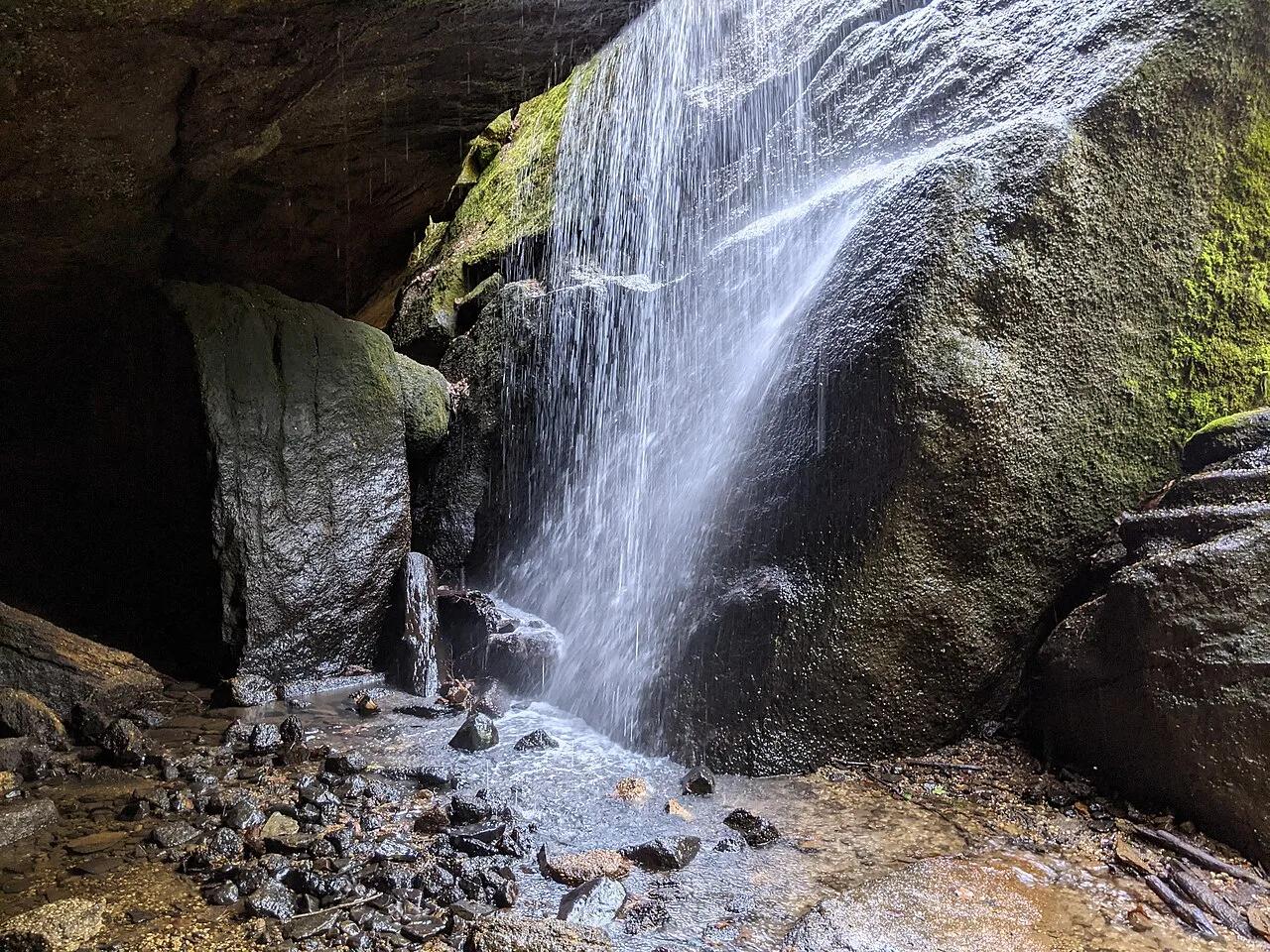
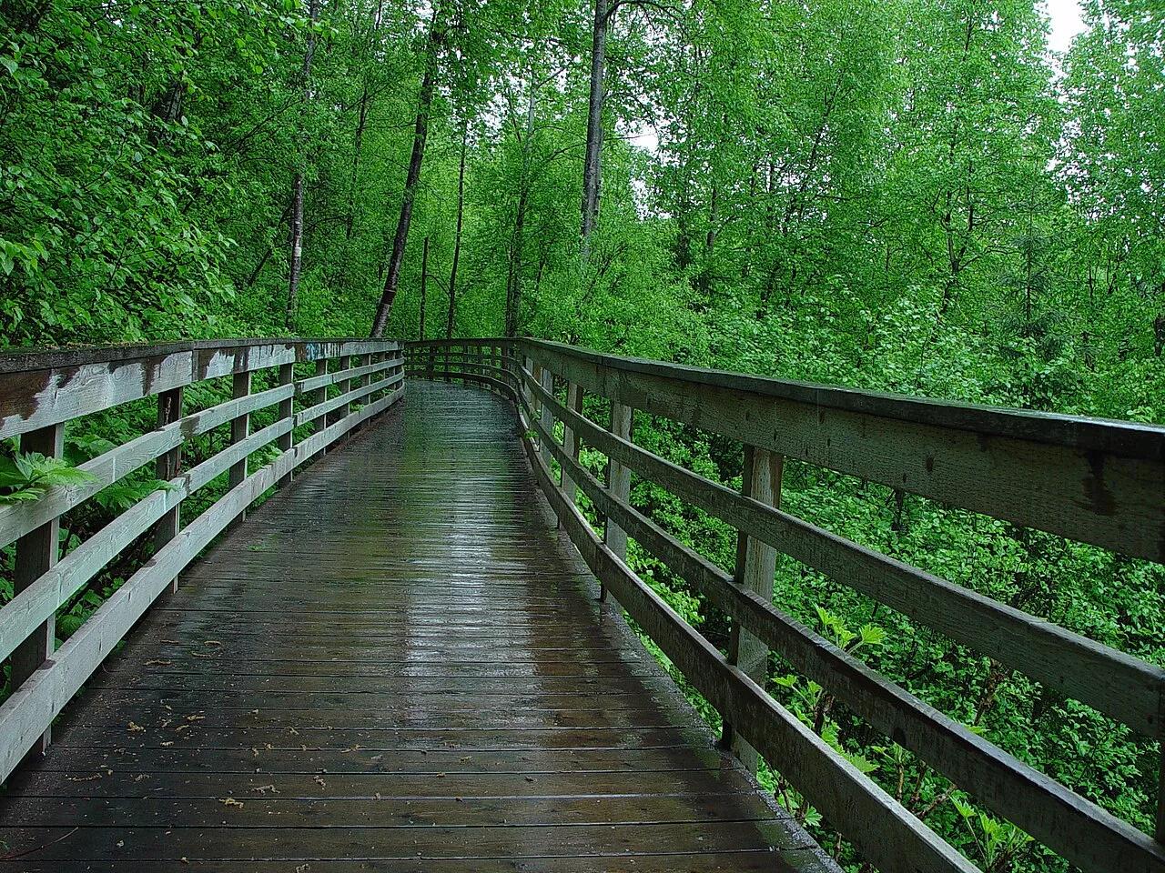
Picturesque 200-foot waterfall cascading down birch-forested canyon walls to a misty boardwalk along Eklutna River canyon.
- Route
- 1.8 mi
- Climb
- 180 ft
Browse & Discover
Overlooks, natural arches, sea caves, groves and wildlife reserves.
994 of 2,051 places
Drag to pan. Double-click, pinch or scroll to zoom. Keyboard: arrow keys and +/−. Cards below remain available.
Loading map… Browse the spot cards below at any time.

Joshua Tree National Park
A short desert trail to the historic Barker Dam water-storage structure in Joshua Tree National Park.
Hannah Schwalbe / NPS · Public domain. Source & image licence

Eaton Canyon Natural Area
The waterfall at the head of lower Eaton Canyon, reached by a wide wash walk from the Eaton Canyon Nature Center and a final creekside scramble.
[scott.medling or en:user:scott.medling user:scott.medling from California, United States] · CC BY-SA 2.0. Source & image licence

Angeles National Forest
The ruined mountain resort of the Mount Lowe Railway, on a front-range promontory above Altadena at the top of the Lower Sam Merrill Trail.
Lennonrodgers at en.wikipedia · Public domain. Source & image licence

Escondido Canyon Park
A multi-tiered waterfall in Escondido Canyon above Malibu. The maintained trail ends at the base of the mossy lower tier.
Santa Monica Mountains National Recreation Area · Public domain. Source & image licence

Inyo National Forest
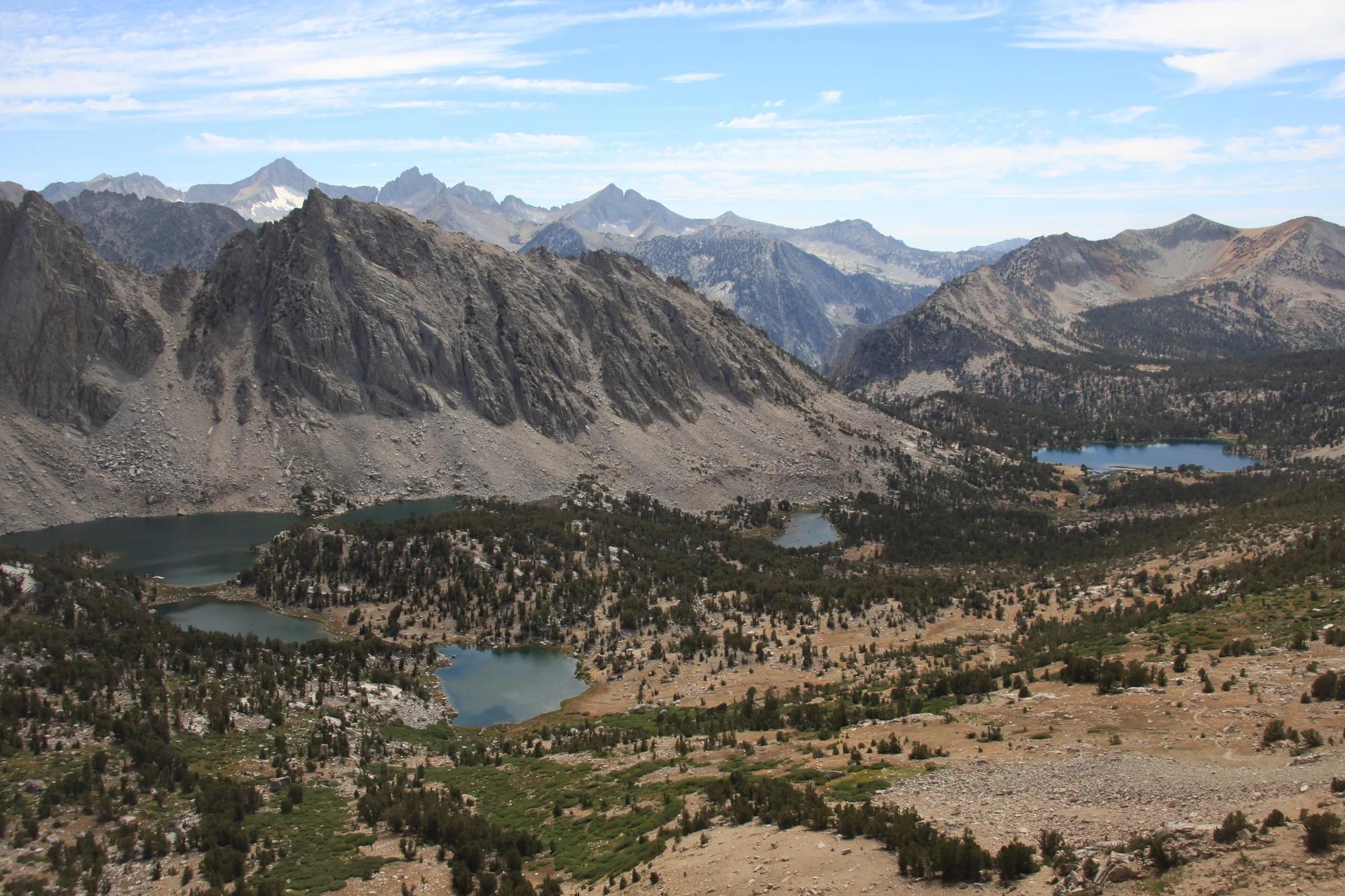
A chain of small alpine lakes at the head of Little Lakes Valley in the John Muir Wilderness, below the 13,000-foot peaks of the Bear Creek Spire cirque.
Jane S. Richardson (talk · contribs) · CC BY-SA 3.0. Source & image licence

Mount Tamalpais Watershed
A winter-and-spring cascade on Cataract Creek just below the Laurel Dell picnic area, reached downhill along the Cataract Trail from Rock Spring.
Richard Wood · CC BY-SA 3.0. Source & image licence

Joshua Tree National Park
One of the best-preserved stamp mills in Joshua Tree National Park, at the site of the Lost Horse gold mine.
Joseph from Cabin On The Road, USA · CC BY-SA 2.0. Source & image licence

Angeles National Forest
A waterfall of about fifty feet filling the head of a narrow, shaded canyon, a short walk upstream from Millard Campground.
Region 5 Photography · Public domain. Source & image licence

Inyo National Forest
A quiet lake in the Ansel Adams Wilderness beneath Parker Peak, reached through sage and an aspen-lined creek canyon off the June Lake Loop.
Mark Gunn from Novato, California, USA · CC BY 2.0. Source & image licence

Pfeiffer Big Sur State Park
A 60-foot waterfall on Pfeiffer-Redwood Creek, reached through the redwoods of Pfeiffer Big Sur State Park on a trail twice rebuilt — after the 2008 Basin Complex Fire and again after 2023 storm damage.
Joe Mabel · CC BY-SA 4.0. Source & image licence

Angeles National Forest
A 50-foot single drop into a shallow plunge pool, 1.7 mi up Big Santa Anita Canyon. Shaded the entire way in. The work is all on the walk out.
U.S. Department of Agriculture / USDA USFS · CC BY 2.0. Source & image licence

Santa Monica Mountains National Recreation Area
The ruins of the Roberts family ranch house at the end of the canyon-floor trail in Solstice Canyon, beside a small seasonal waterfall.
George Heras / Santa Monica Mountains National Recreation Area · Public domain. Source & image licence

Pfeiffer Big Sur State Park
An overlook above the Big Sur River valley, looking north over the redwoods toward Point Sur and the Pacific.
King of Hearts · CC BY-SA 3.0. Source & image licence
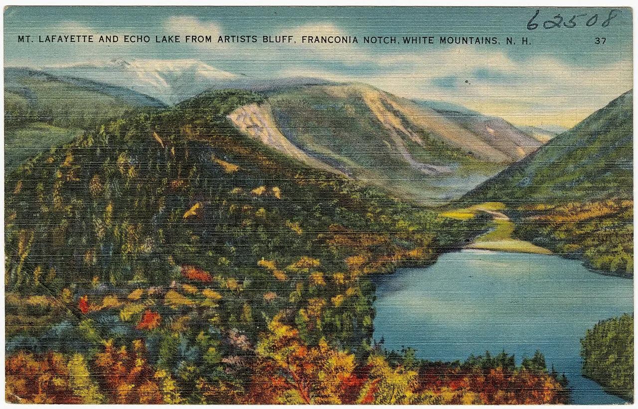
Franconia Notch State Park · White Mountains · New Hampshire
Perched granite cliffs frame a postcard-perfect view overlooking Echo Lake and the rugged vertical walls of Franconia Notch.
Photo: Tichnor Brothers, Publisher · Public domain
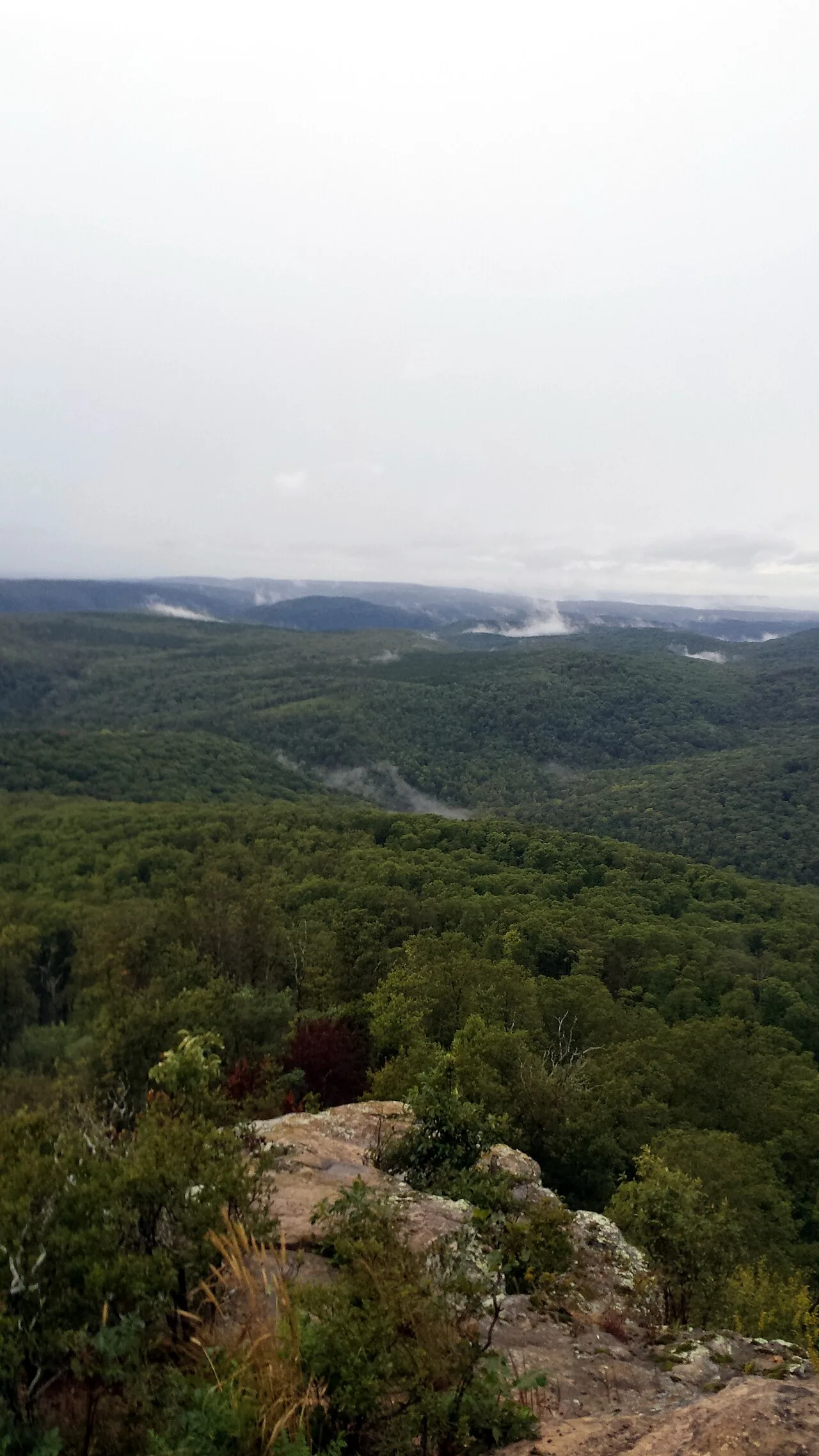
Ozark-St. Francis National Forest · South & Gulf Coast · Arkansas
2,300-foot flat-topped sandstone mesa ringed by sheer 200-foot bluffs and historic 1930s CCC stone cabins at the western terminus of the Ozark Highlands Trail.
Photo: Brandonrush · CC BY-SA 3.0
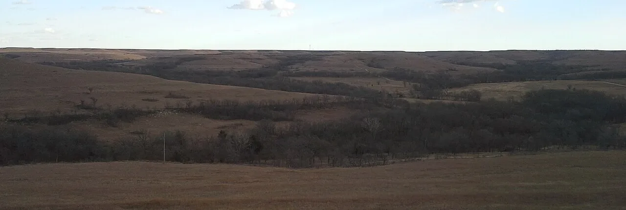
Flint Hills Nature Trail State Park · Flint Hills · Kansas
The seventh-longest rail-trail in the United States, spanning 117 miles across the last vast expanse of native tallgrass prairie on Earth.
Photo: IveGoneAway · CC BY-SA 4.0
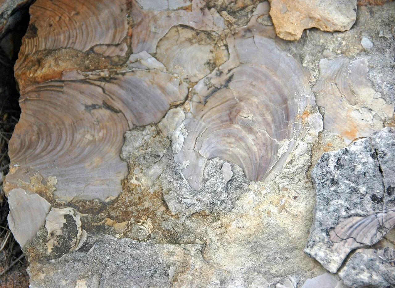
Ponca State Park · Northeast Nebraska · Nebraska
Heavily forested bluffs overlooking the unchannelized Missouri National Recreational River, where three ancient oak trees have stood for over 300 years.
Photo: James St. John · CC BY 2.0
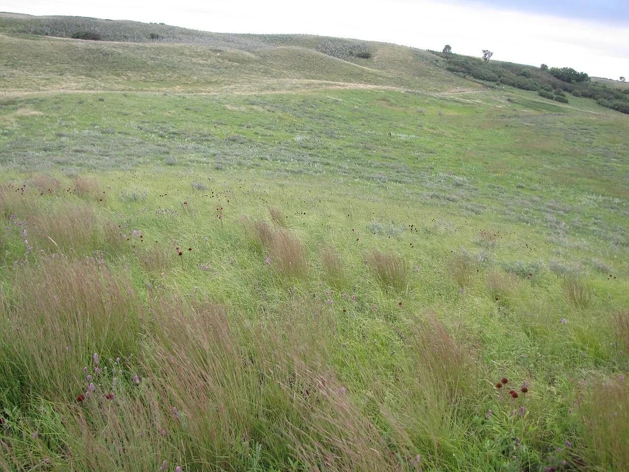
White Horse Hill National Game Preserve (Fort Totten) · Devils Lake Basin · North Dakota
Historic glacial terminal moraine hill rising above Devils Lake, sheltering wild bison and elk herds with an observation tower looking across Spirit Lake.
Photo: U.S. Fish and Wildlife Service Headquarters · Public domain
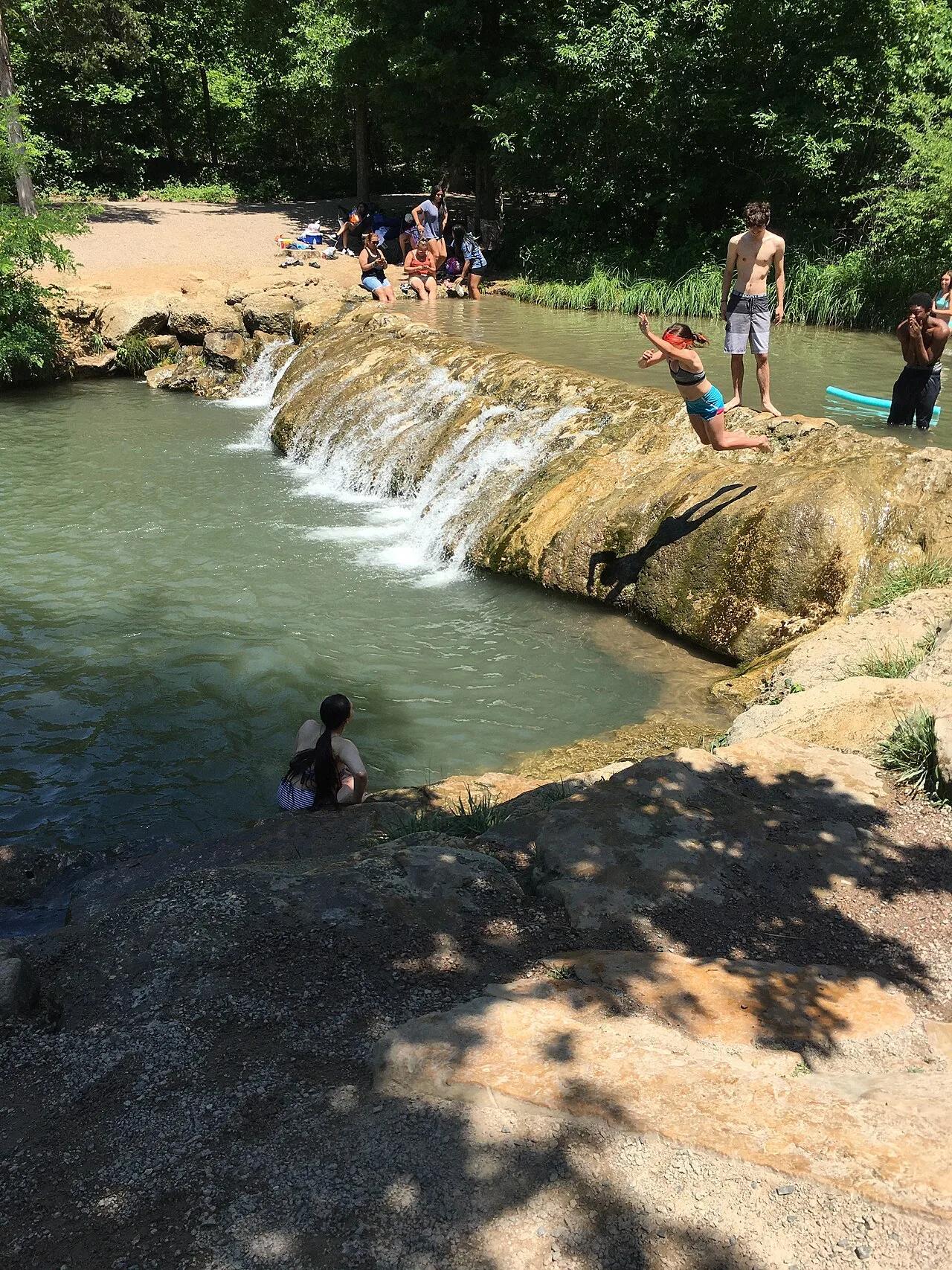
Chickasaw National Recreation Area (Sulphur) · Arbuckle Mountains · Oklahoma
Idyllic turquoise swimming hole fed by cold, mineral-rich artesian springs bubbling over travertine limestone waterfalls in Platt Historic District.
Photo: Jonathan Schilling · CC BY-SA 4.0
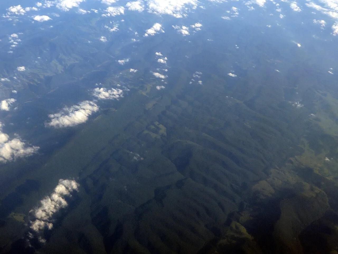
Spruce Knob-Seneca Rocks National Recreation Area · Appalachian & Blue Ridge · West Virginia
Highest point in West Virginia (4,863 ft), crowned by a stone observation tower, quartzite boulder fields, and wind-sculpted red spruce groves.
Photo: Ken Lund from Reno, Nevada, USA · CC BY-SA 2.0
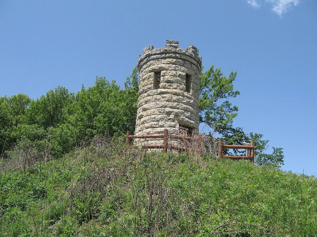
Mines of Spain State Recreation Area · Dubuque & Mississippi River · Iowa
Dramatic 200-foot Silurian dolomite quarry bluffs along the Mississippi River, featuring lead-mining history and the historic Julien Dubuque stone monument.
Photo: Bill Whittaker · CC BY-SA 3.0
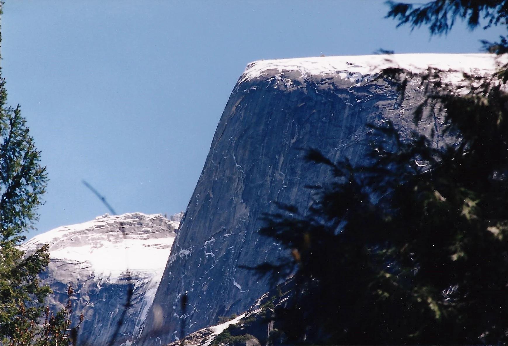
Yosemite National Park · Yosemite & Central Sierra
Verified California peak at 8,169 ft in Yosemite National Park (Yosemite & Central Sierra).
Photo: Glenn Scofield Williams from Portland, Oregon, USA · CC BY 2.0
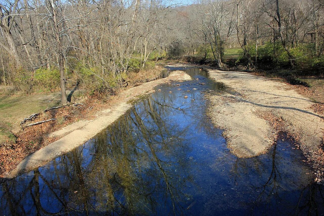
Castlewood State Park · St. Louis Metro · Missouri
Steep staircase climb to panoramic 250-foot limestone bluffs towering over the serpentine sweep of the Meramec River, popular with hikers and trail runners.
Photo: Yinan Chen · Public domain
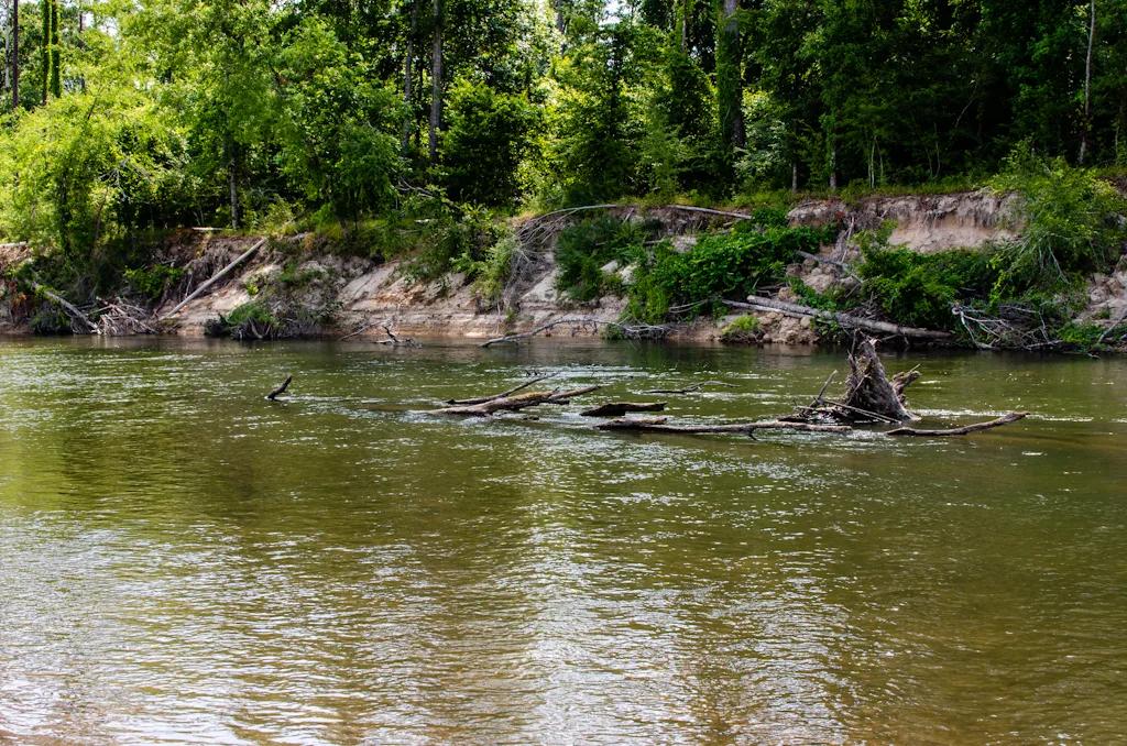
Bogue Chitto State Park (Franklinton) · South & Gulf Coast · Louisiana
Eroded sandstone spires resembling miniature badlands tucked inside a bamboo and hardwood ravine beside the Bogue Chitto River.
Photo: mcandrus · CC BY 2.0
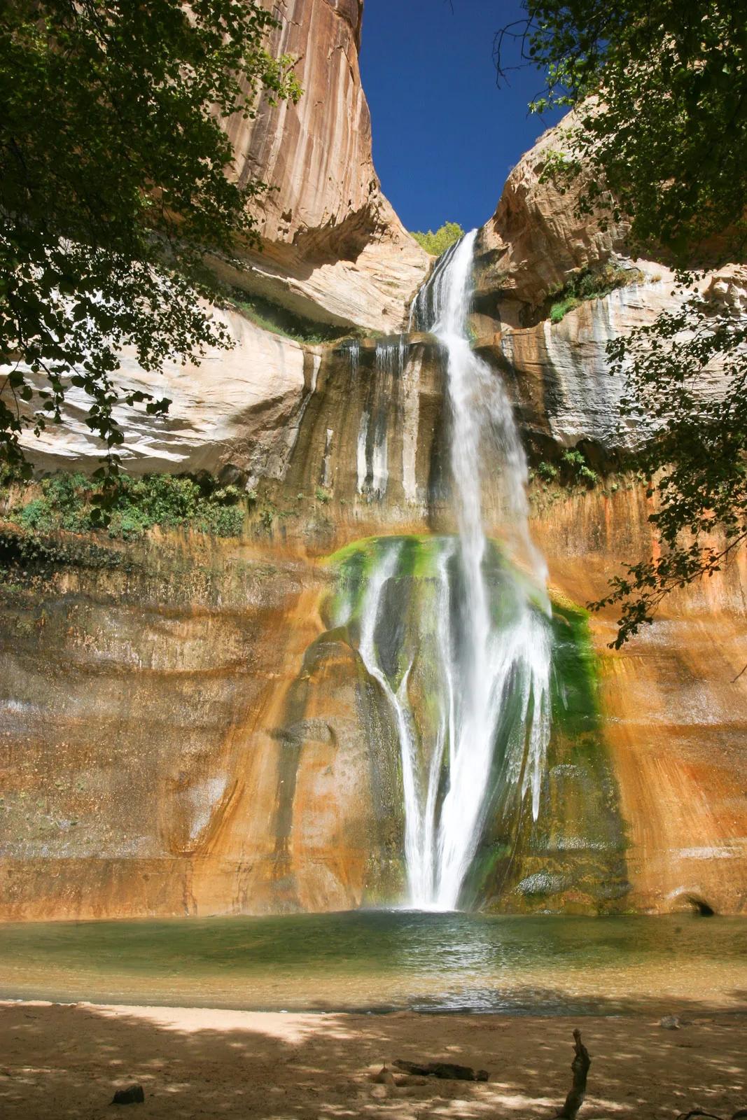
Grand Staircase-Escalante National Monument · Colorado Plateau · Utah
126-foot perennial desert waterfall plunging into a shaded emerald swimming pool streaked with desert varnish and mineral tapestry.
Photo: Greg Willis from Denver, CO, usa · CC BY-SA 2.0
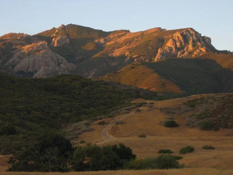
Santa Monica Mountains National Recreation Area · Santa Monica Mountains
Verified California saddle at 2,103 ft in Santa Monica Mountains National Recreation Area (Santa Monica Mountains). Linked to Backbone Trail.
Photo: Randy from Newbury Park, California, USA · CC BY 2.0
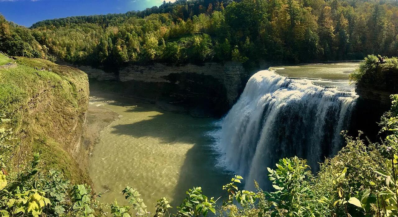
Letchworth State Park · Finger Lakes · New York
Known as the Grand Canyon of the East, the 550-foot gorge carved by the Genesee River roars past the 107-foot Middle Falls and Inspiration Point.
Photo: Andre Carrotflower · CC BY-SA 4.0