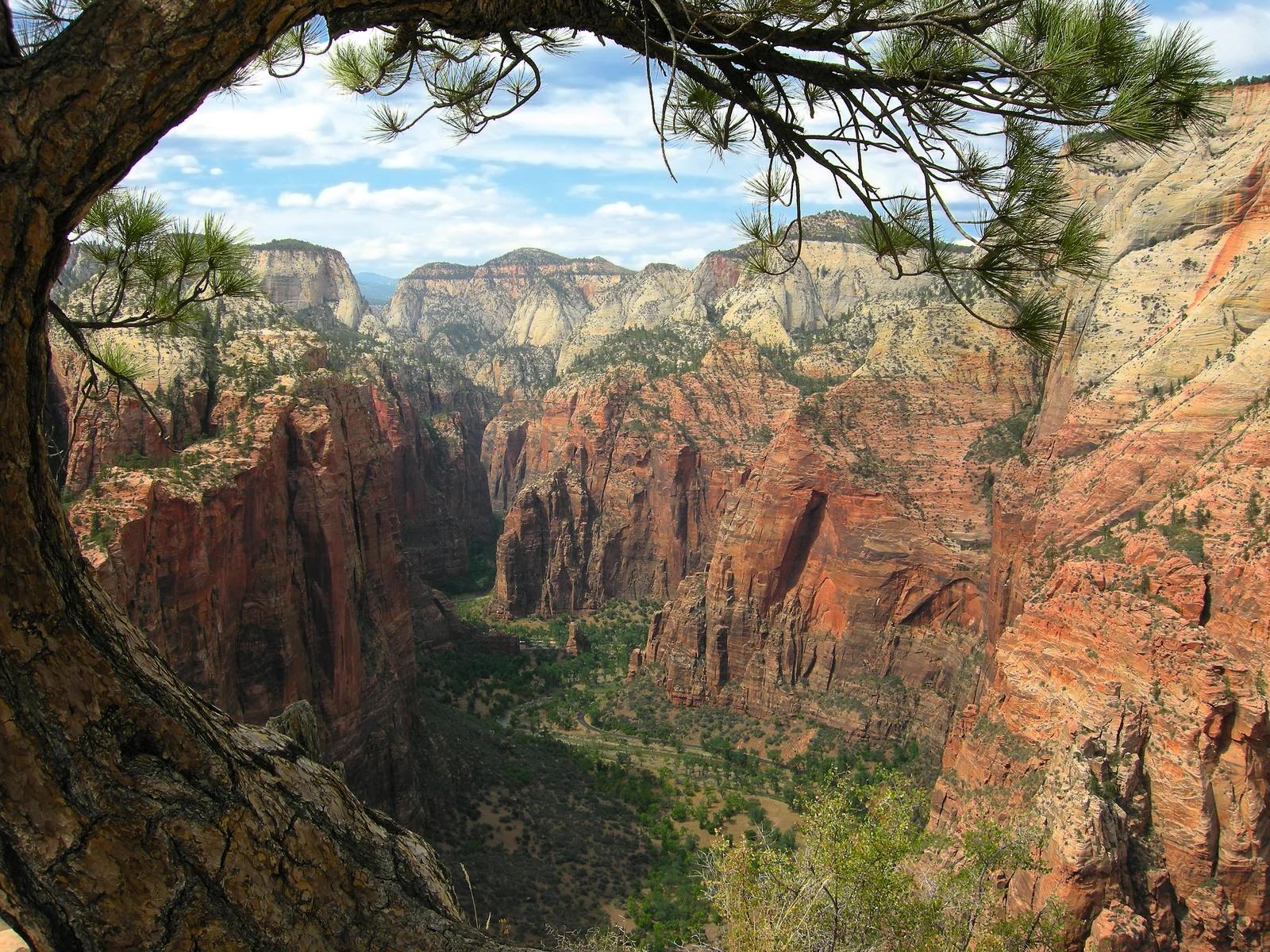
Peak
3 photosZion National Park · Utah & Mighty 5 · Utah
Angels Landing
A sheer sandstone fin rising 1,488 feet above the Virgin River with an iconic chained ridge traverse.
- Route
- 5.4 mi
- Climb
- 1,486 ft
Browse & Discover
Canyon trails, waterfall walks, ridge traverses and high peaks.
1,216 of 2,051 places
Drag to pan. Double-click, pinch or scroll to zoom. Keyboard: arrow keys and +/−. Cards below remain available.
Loading map… Browse the spot cards below at any time.

Joshua Tree National Park
A short desert trail to the historic Barker Dam water-storage structure in Joshua Tree National Park.
Hannah Schwalbe / NPS · Public domain. Source & image licence

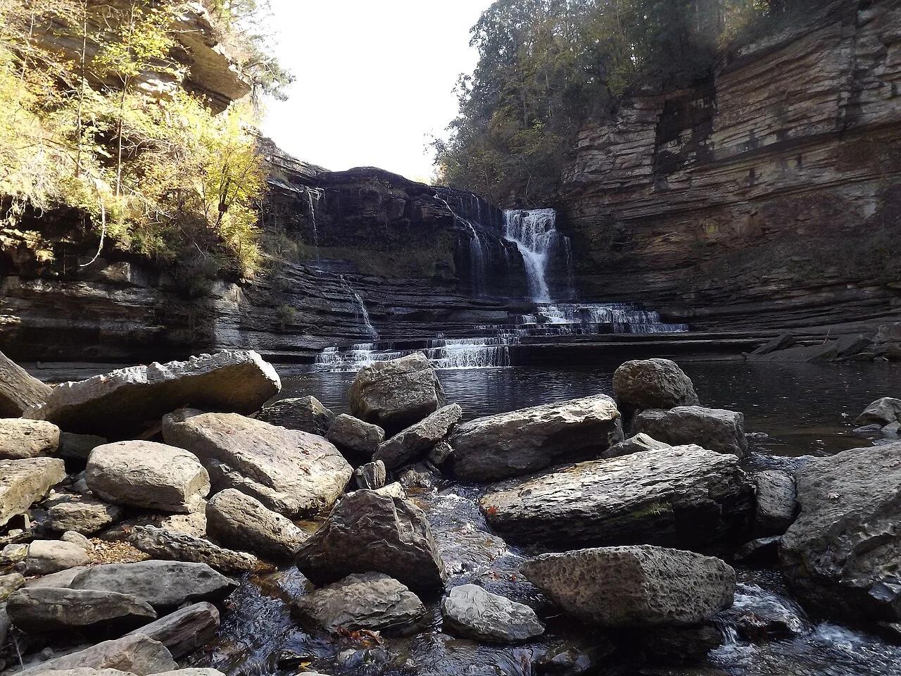
Eaton Canyon Natural Area
The waterfall at the head of lower Eaton Canyon, reached by a wide wash walk from the Eaton Canyon Nature Center and a final creekside scramble.
[scott.medling or en:user:scott.medling user:scott.medling from California, United States] · CC BY-SA 2.0. Source & image licence

Angeles National Forest
The ruined mountain resort of the Mount Lowe Railway, on a front-range promontory above Altadena at the top of the Lower Sam Merrill Trail.
Lennonrodgers at en.wikipedia · Public domain. Source & image licence

Escondido Canyon Park
A multi-tiered waterfall in Escondido Canyon above Malibu. The maintained trail ends at the base of the mossy lower tier.
Santa Monica Mountains National Recreation Area · Public domain. Source & image licence

Inyo National Forest
A chain of small alpine lakes at the head of Little Lakes Valley in the John Muir Wilderness, below the 13,000-foot peaks of the Bear Creek Spire cirque.
Jane S. Richardson (talk · contribs) · CC BY-SA 3.0. Source & image licence

Mount Tamalpais Watershed
A winter-and-spring cascade on Cataract Creek just below the Laurel Dell picnic area, reached downhill along the Cataract Trail from Rock Spring.
Richard Wood · CC BY-SA 3.0. Source & image licence

Joshua Tree National Park
One of the best-preserved stamp mills in Joshua Tree National Park, at the site of the Lost Horse gold mine.
Joseph from Cabin On The Road, USA · CC BY-SA 2.0. Source & image licence

Angeles National Forest
A waterfall of about fifty feet filling the head of a narrow, shaded canyon, a short walk upstream from Millard Campground.
Region 5 Photography · Public domain. Source & image licence

Inyo National Forest
A quiet lake in the Ansel Adams Wilderness beneath Parker Peak, reached through sage and an aspen-lined creek canyon off the June Lake Loop.
Mark Gunn from Novato, California, USA · CC BY 2.0. Source & image licence

Pfeiffer Big Sur State Park
A 60-foot waterfall on Pfeiffer-Redwood Creek, reached through the redwoods of Pfeiffer Big Sur State Park on a trail twice rebuilt — after the 2008 Basin Complex Fire and again after 2023 storm damage.
Joe Mabel · CC BY-SA 4.0. Source & image licence

Angeles National Forest
A 50-foot single drop into a shallow plunge pool, 1.7 mi up Big Santa Anita Canyon. Shaded the entire way in. The work is all on the walk out.
U.S. Department of Agriculture / USDA USFS · CC BY 2.0. Source & image licence

Santa Monica Mountains National Recreation Area
The ruins of the Roberts family ranch house at the end of the canyon-floor trail in Solstice Canyon, beside a small seasonal waterfall.
George Heras / Santa Monica Mountains National Recreation Area · Public domain. Source & image licence

Pfeiffer Big Sur State Park
An overlook above the Big Sur River valley, looking north over the redwoods toward Point Sur and the Pacific.
King of Hearts · CC BY-SA 3.0. Source & image licence
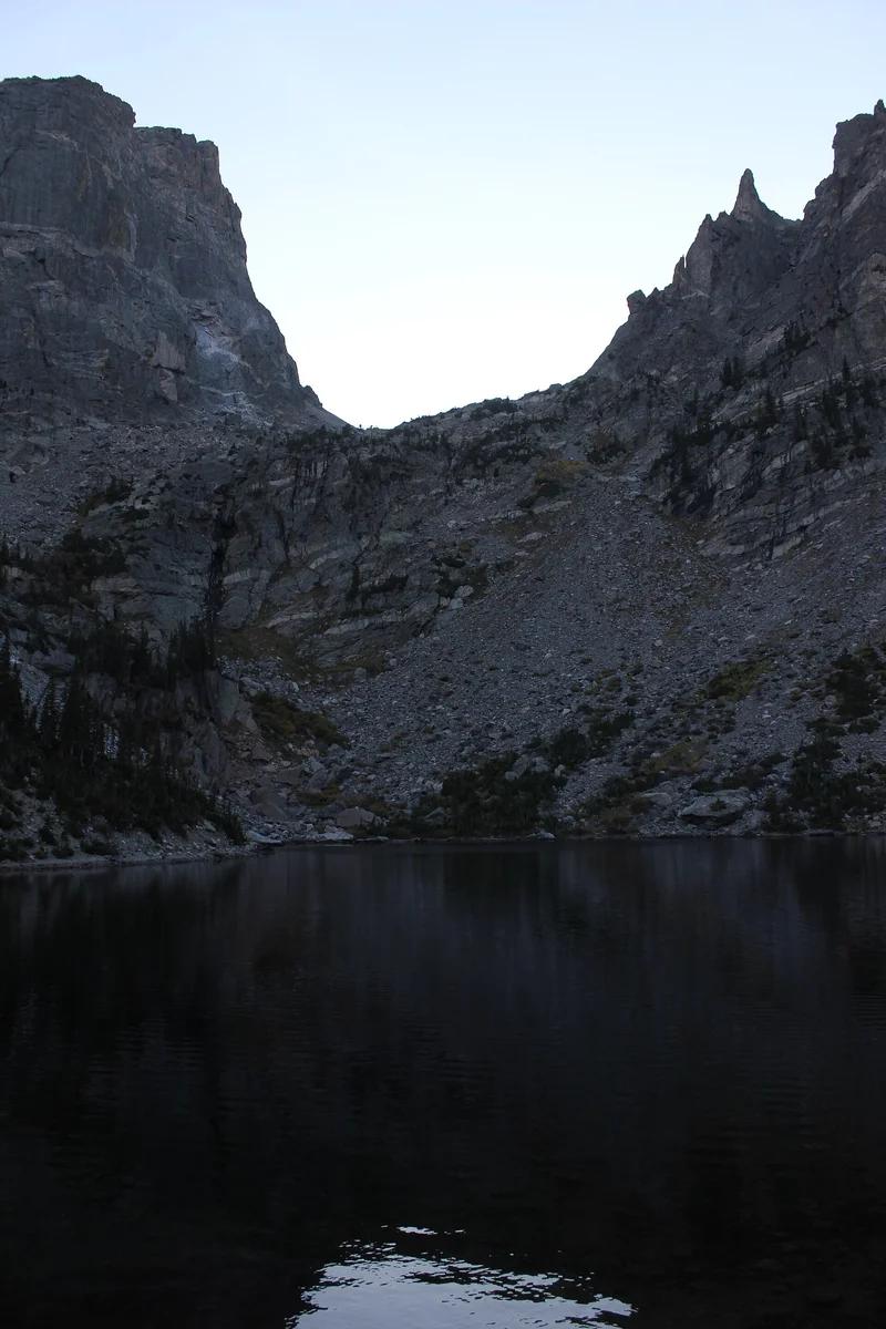
Rocky Mountain National Park · Colorado & Rocky Mountains · Colorado
A quintessential subalpine lake trail in Tyndall Gorge, visiting Nymph, Dream, and Emerald Lakes beneath Hallett Peak.
Photo: Nicolas Henderson from Coppell, Texas · CC BY 2.0
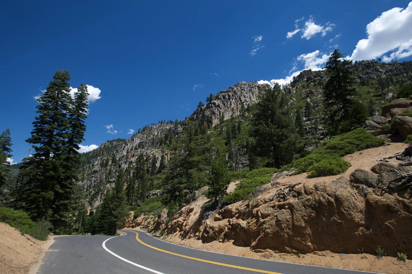
Humboldt-Toiyabe National Forest · Lake Tahoe & Northern Sierra
Verified California saddle at 9,643 ft in Humboldt-Toiyabe National Forest (Lake Tahoe & Northern Sierra). Linked to Pct: Sonora Pass - Dorothy Lk.
Photo: Eric in SF · CC BY-SA 3.0
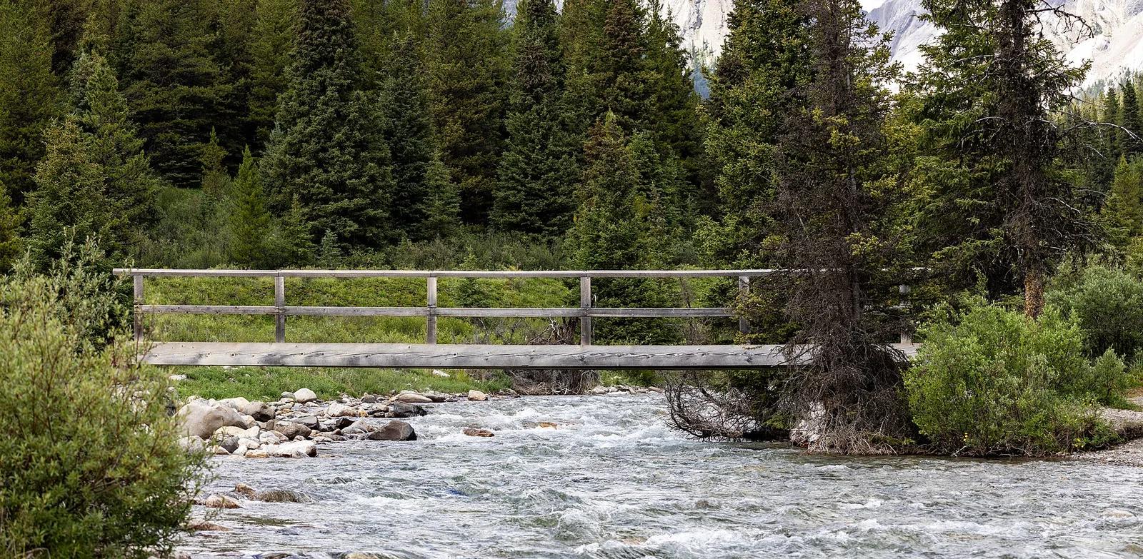
Banff National Park · Canadian Rockies & British Columbia · Canada
Dramatic limestone chasm carved by roaring glacial rapids, traversed by cantilevered catwalks leading to Lower and Upper Falls and the Ink Pots springs.
Photo: Chris Woodrich · CC BY-SA 4.0
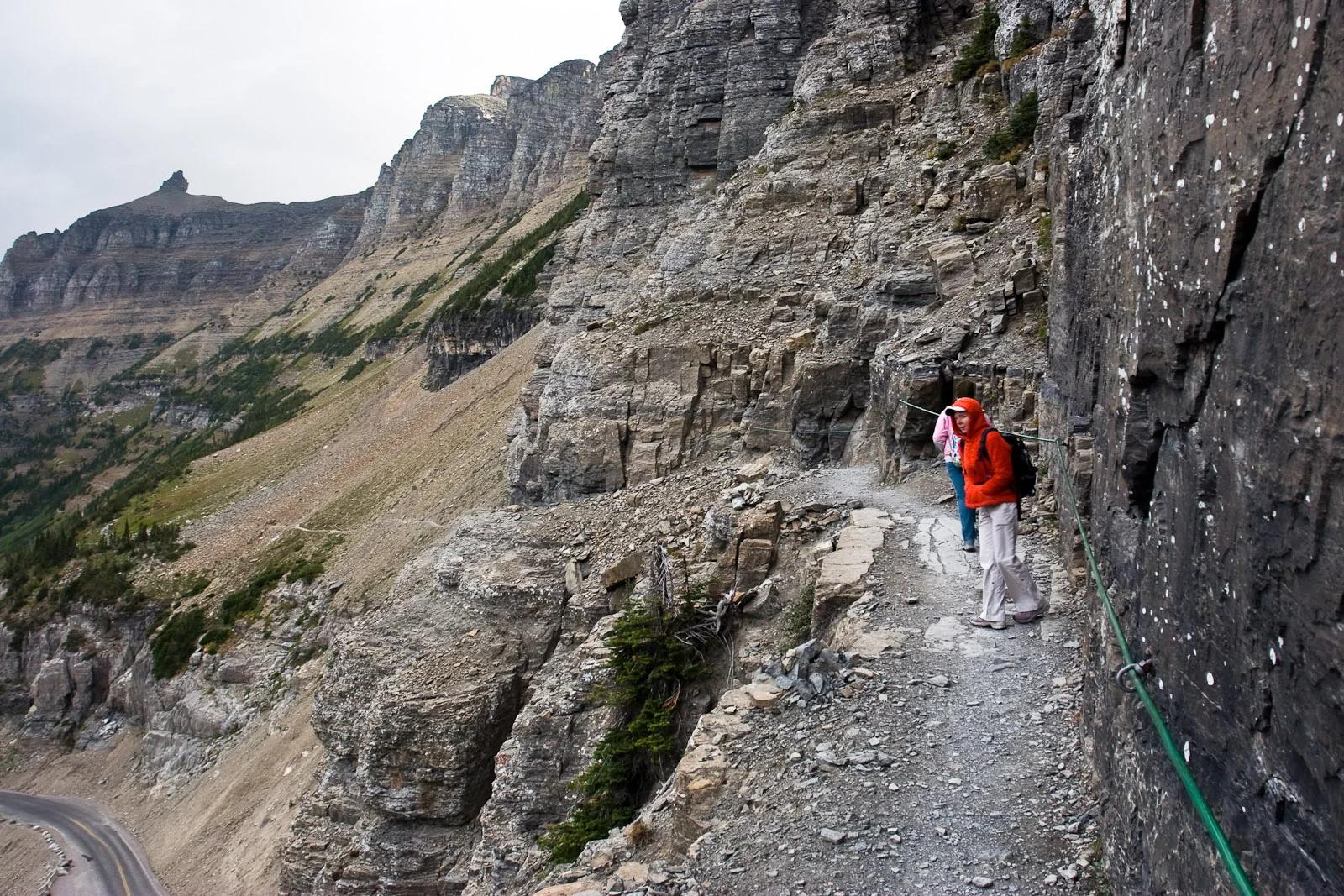
Glacier National Park · Yellowstone, Tetons & Northern Rockies · Montana
An exhilarating cliffside alpine traverse along the Garden Wall carved high above Going-to-the-Sun Road to Granite Park Chalet.
Photo: Greg Willis from Denver, CO, usa · CC BY-SA 2.0
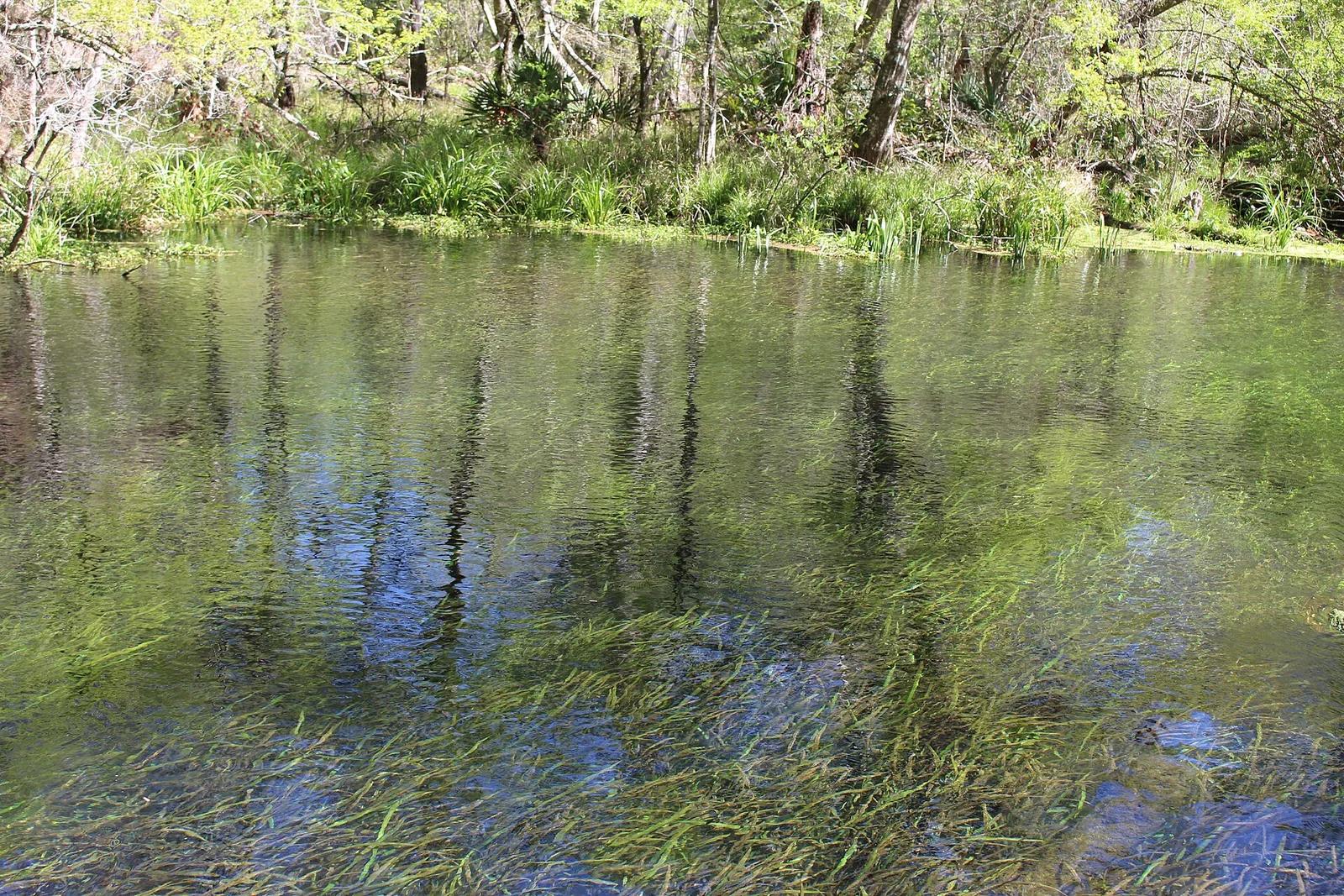
Ichetucknee Springs State Park · Florida & Southeast · Florida
A crystal-clear spring-fed river maintaining a constant 72 degrees year-round, shaded by cypress trees and home to Florida manatees.
Photo: Michael Rivera · CC BY-SA 4.0
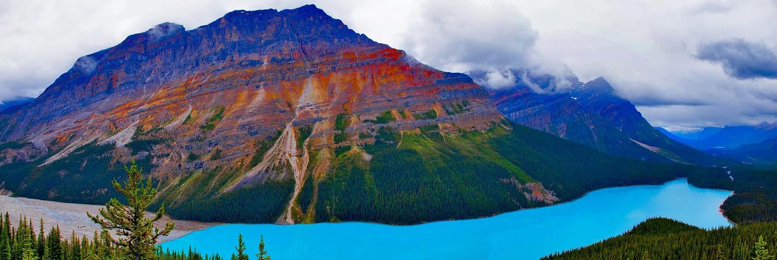
Banff National Park · Canadian Rockies & British Columbia · Canada
Wolf-head-shaped vibrant azure glacial basin viewed from Bow Summit, the highest highway pass in Banff along the Icefields Parkway.
Photo: Ron Cogswell from Arlington, Virginia, USA · CC BY 2.0
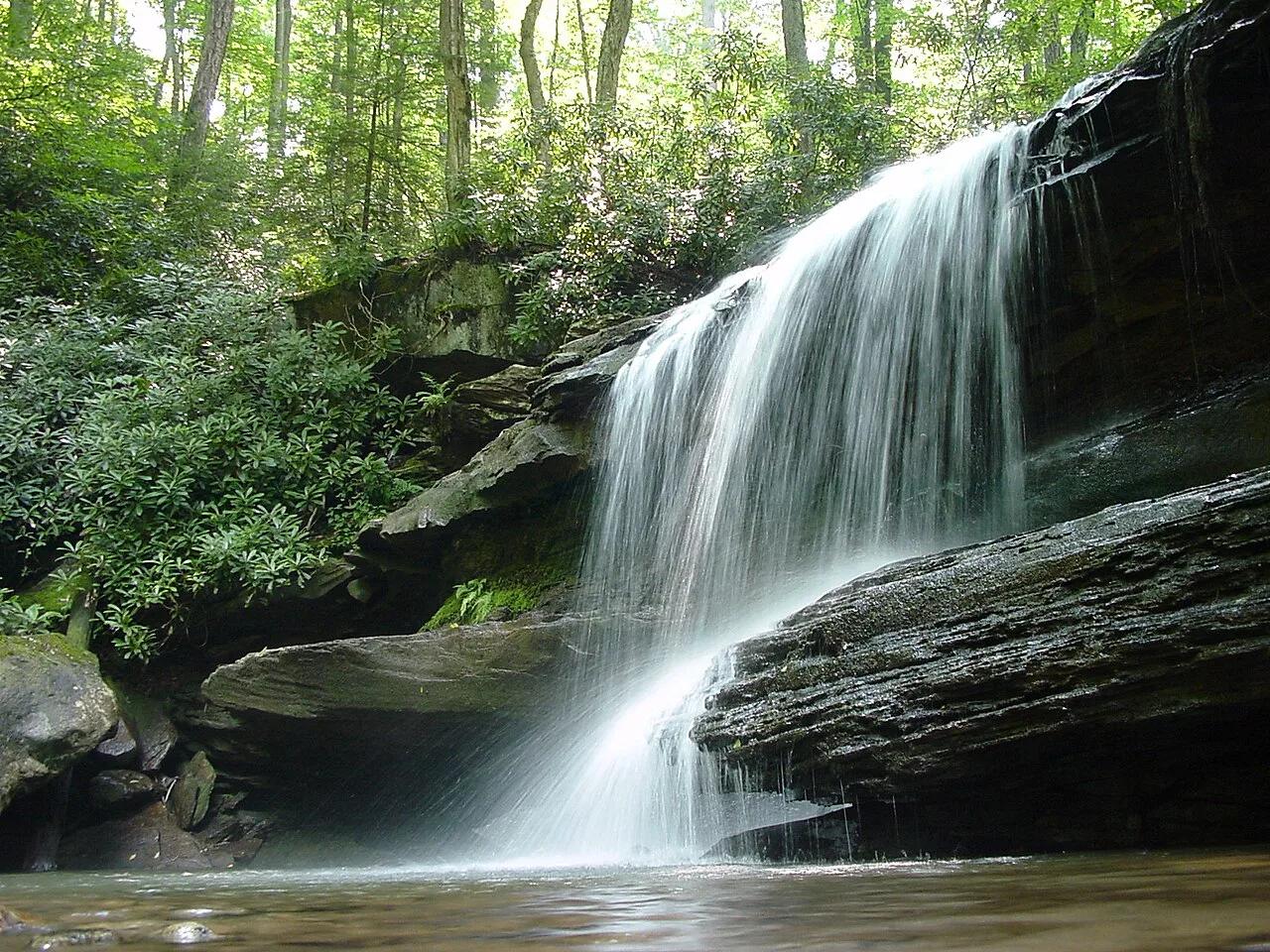
Ohiopyle State Park (Laurel Highlands) · Northeast & New England · Pennsylvania
20-foot waterfall spanning the entire Youghiogheny River beside the high trestle bridges of the Great Allegheny Passage bikeway.
Photo: Hubert Stoffels from Pittsburgh, USA · CC BY 2.0